Mount Pelée had been calling to me ever since I started researching Martinique. It seemed to be a pretty tough climb so I was hesitant. I always want to finish what I start so I would only be happy with myself if I made it to the top.
There are many options for hiking Mount Pelée. I chose the L’Aileron trail. Here’s the info from AllTrails:
Length: 4.6 mi
Elevation gain: 10,820 ft
Type: Loop
Proceed cautiously on this 4.6-mile loop trail near Le Morne-Rouge, Saint-Pierre. Generally considered a highly challenging route, it should only be attempted by experienced adventurers. This is a very popular area for birding, camping, and hiking, so you’ll likely encounter other people while exploring. The trail is open year-round and is beautiful to visit anytime. The hike to the crater rim from Aileron is moderate. The track is generally in good condition and very busy. There are a few scrambles and it’s muddy in places, so wear hiking boots or good shoes. The counterclockwise walk starts out easy then becomes moderate as you approach the north end. If you continue to the end, the second half is tough! Long vertical climbs on wet rocks, dense mist and strong winds most of the time. In the second half you are walking in the caldera and it is amazing.
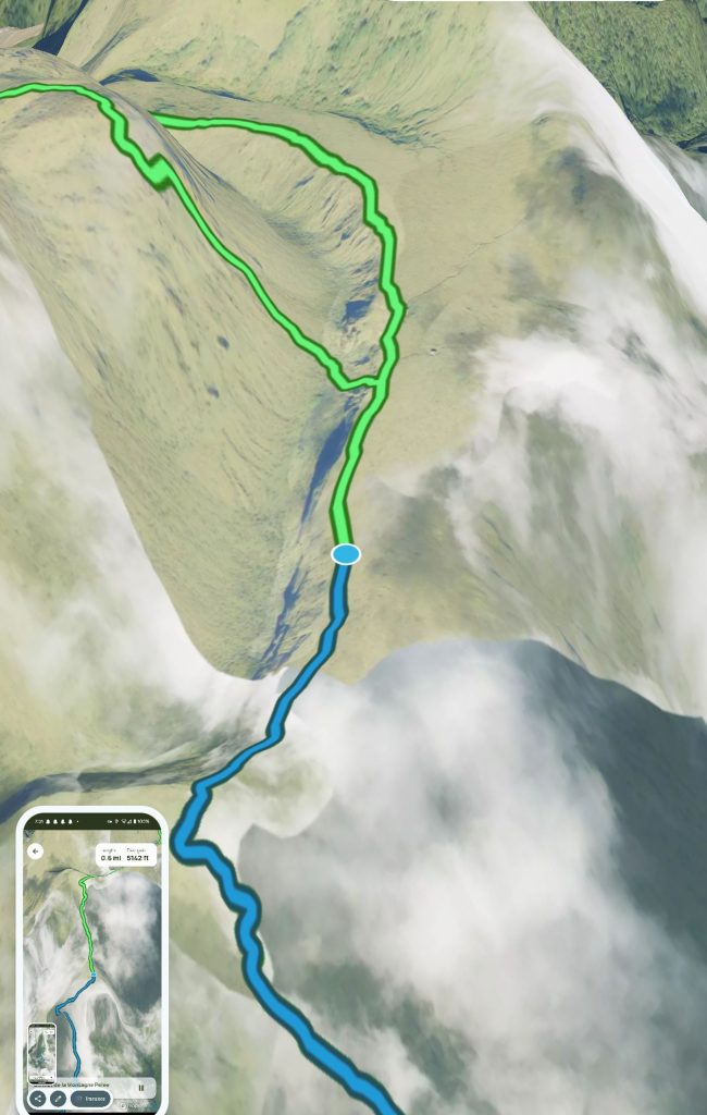
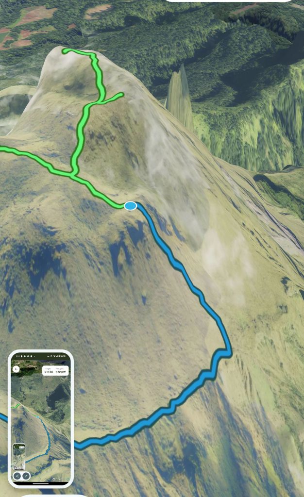
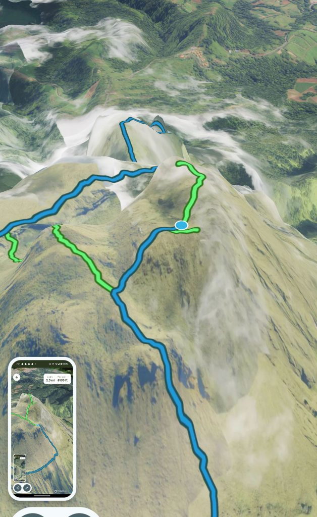
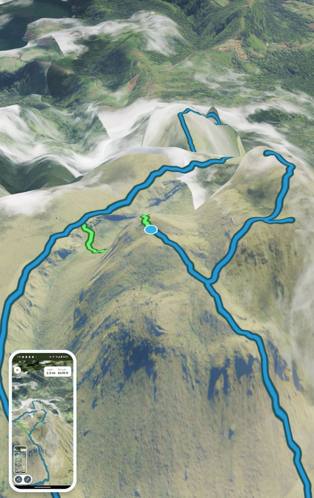
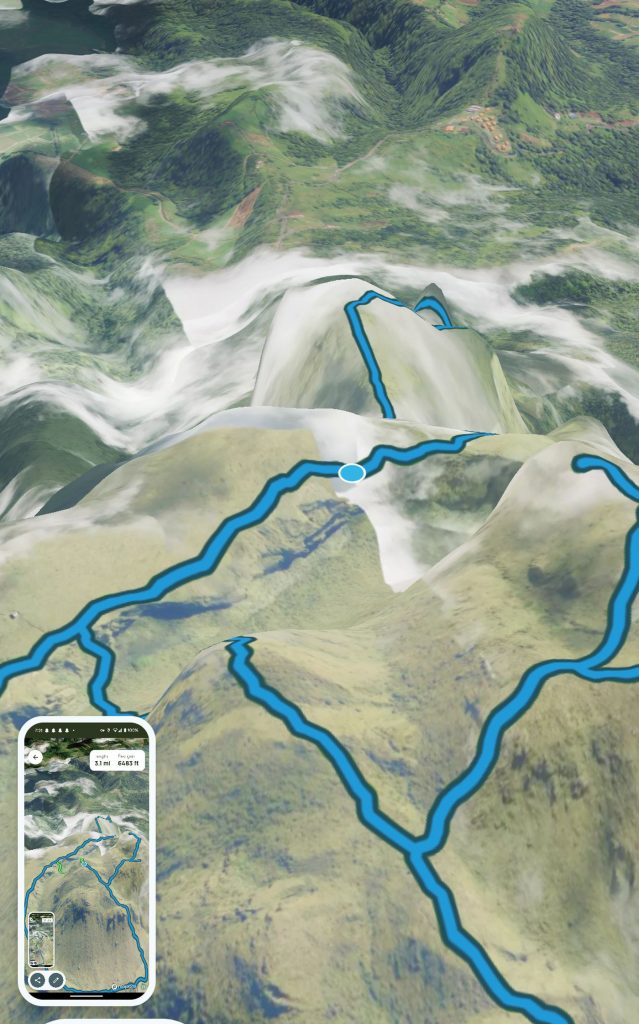
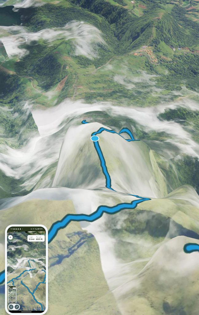
This is the map of the hike as well as screenshots of the preview of the trail:
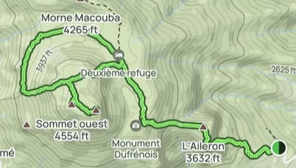
As you can see, the elevation never gets that high. So how is there so much elevation gain? Because you go up and down and up and down. It is a cumulative elevation gain.
The route (screenshots of the “preview trail” function on All Trails):
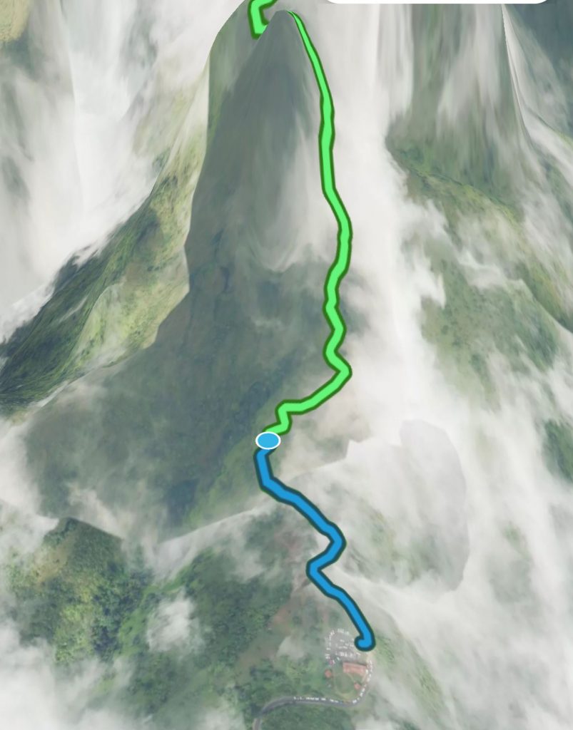
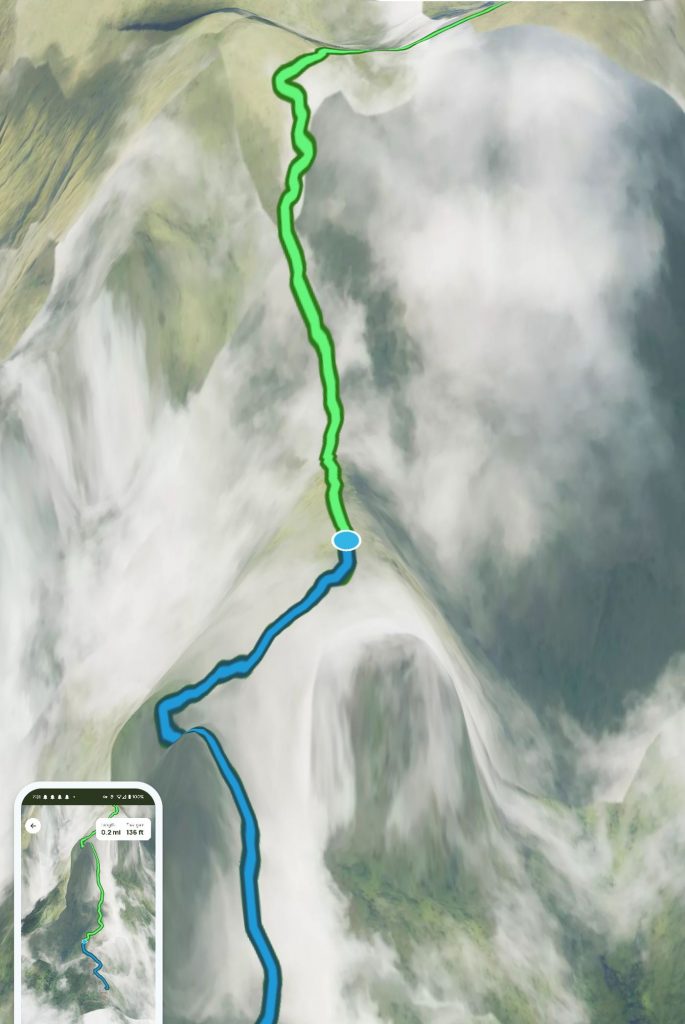
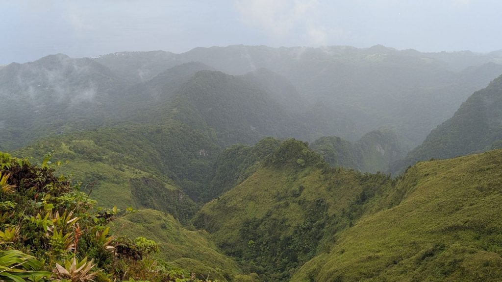
The semicircle portion is next to the caldera. It is also called The Caldera Tour. (Which I think only makes sense if there is visibility. There wasn’t when I hiked it.)
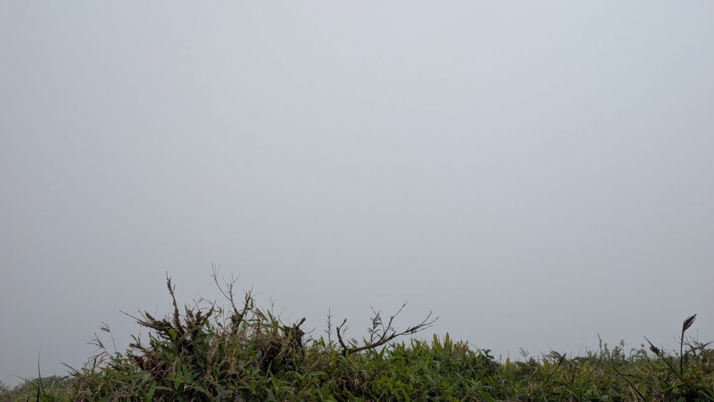
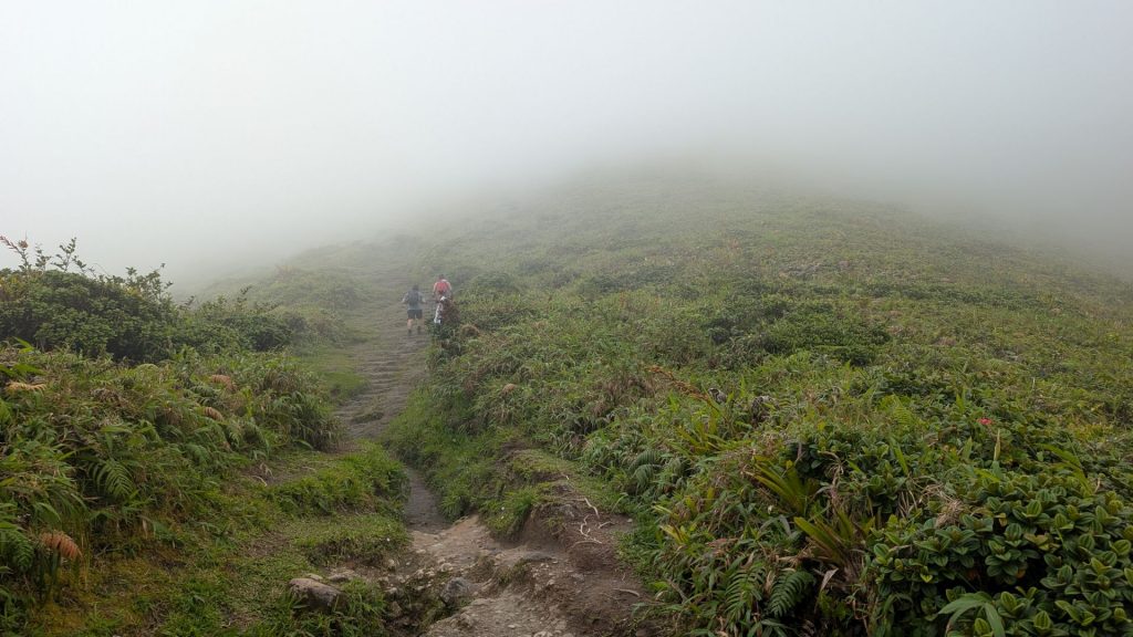
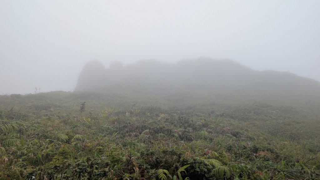
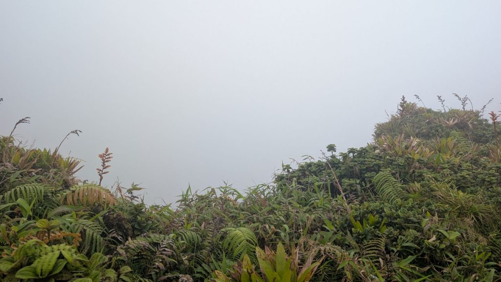
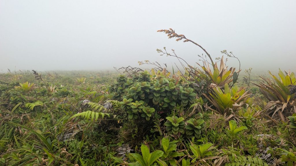
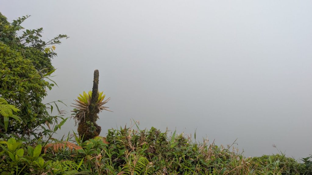
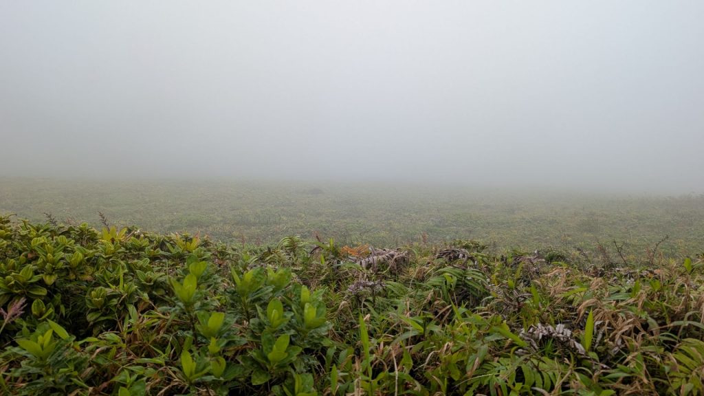
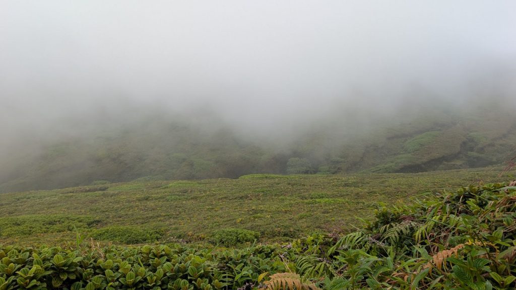
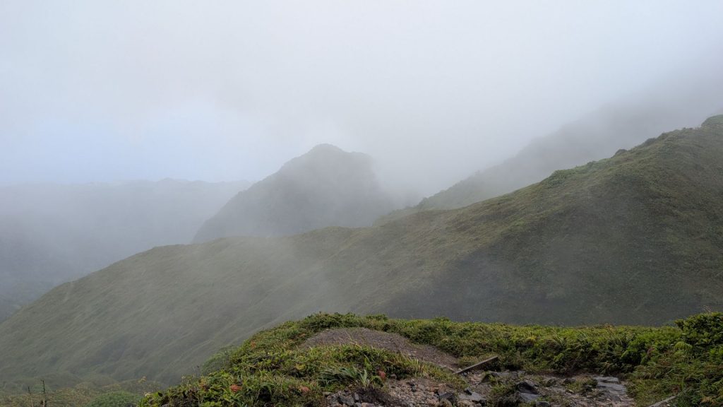
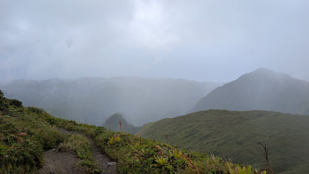
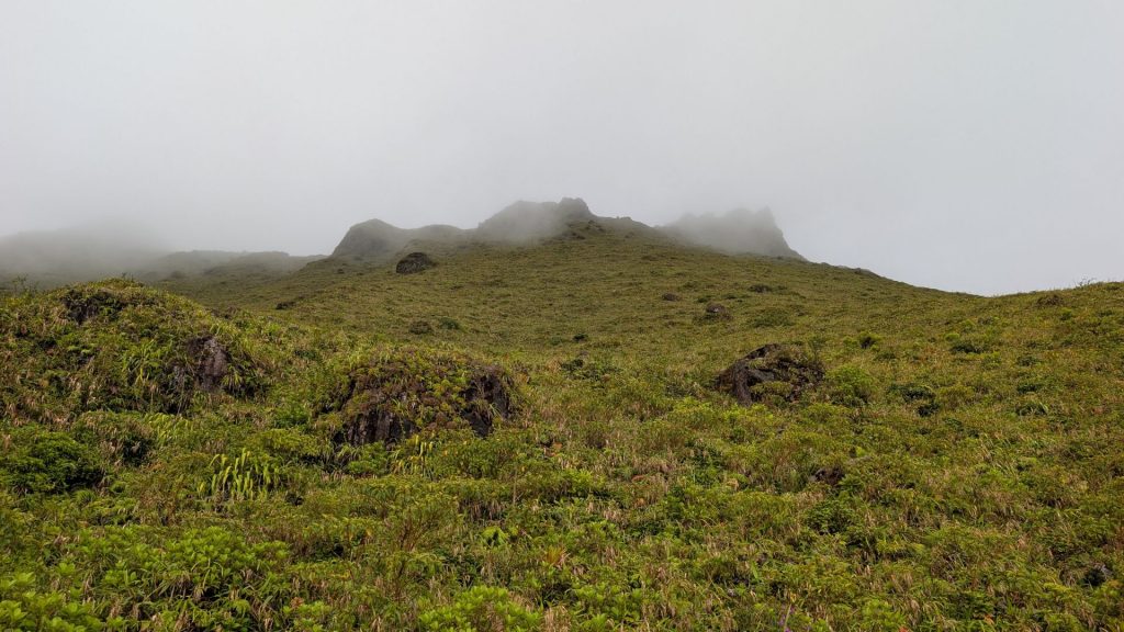
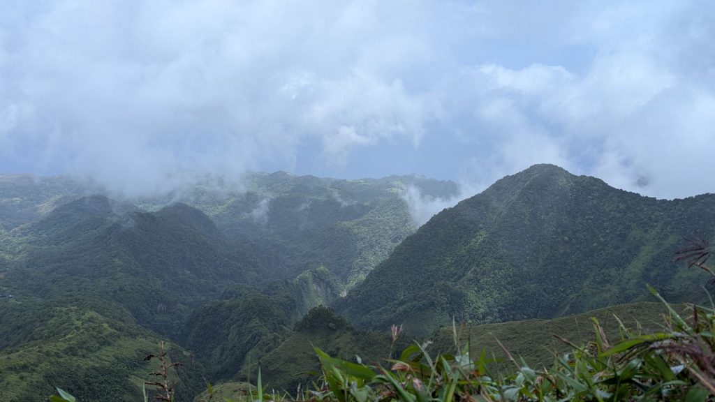
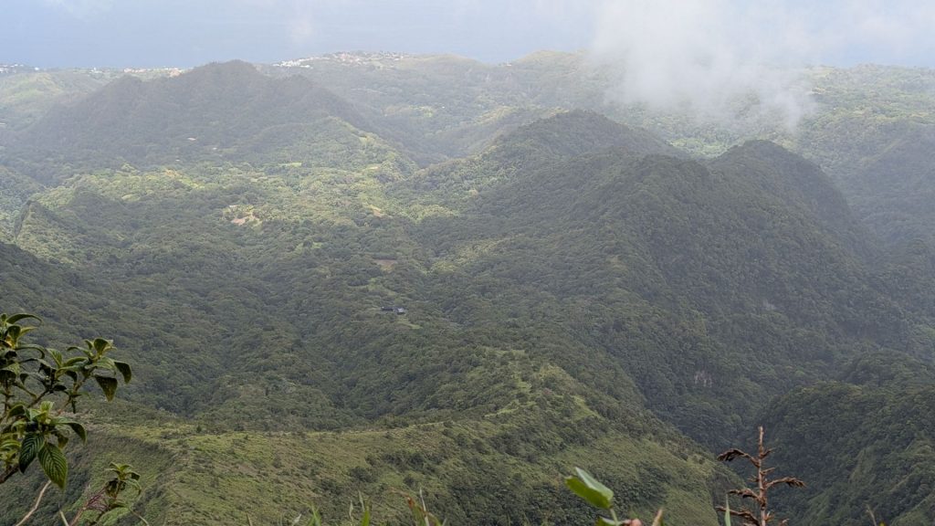
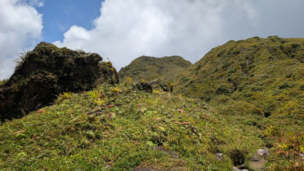
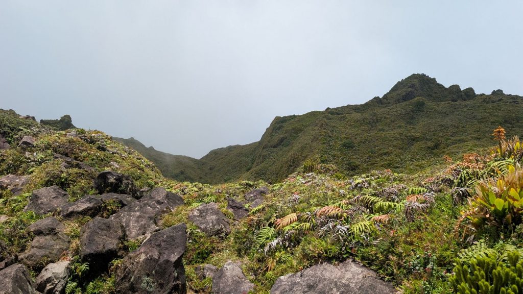
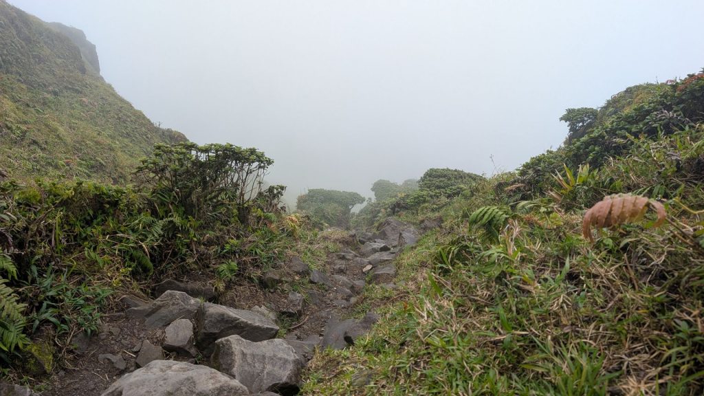
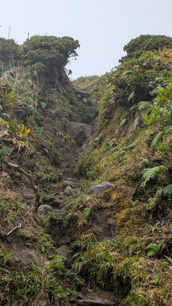
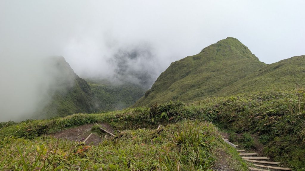
The mountain was covered in clouds and mist nearly the entire time, so I don’t have many panoramic pictures. I took pictures whenever there was anything resembling a view. 🙂 There were times I could only see a few meters to either side or ahead. I was never able to view the caldera during the semicircular portion of the hike.
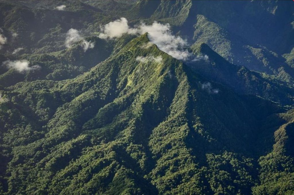
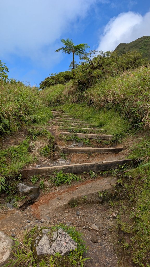
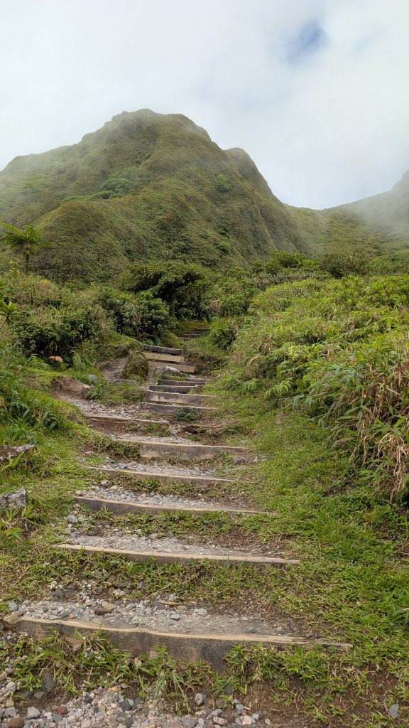
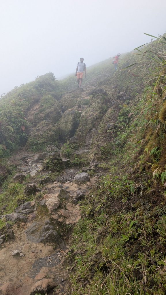
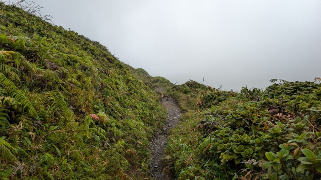
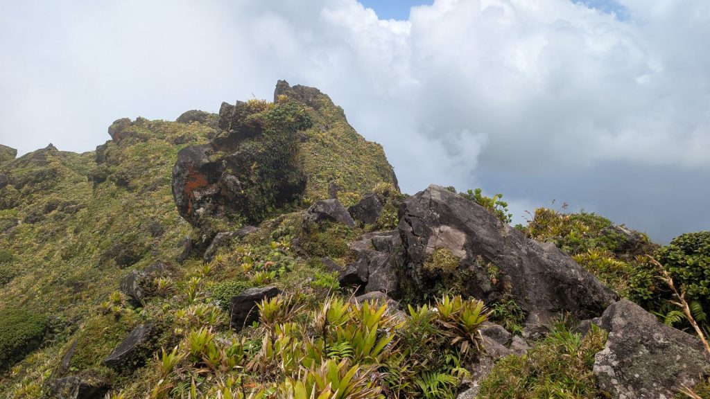
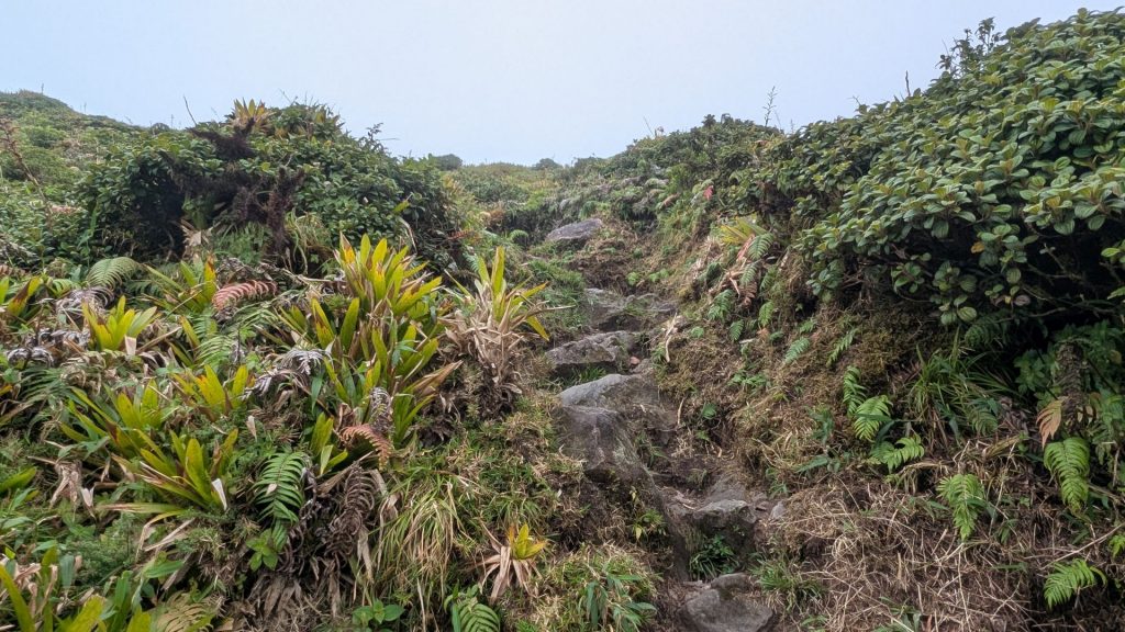
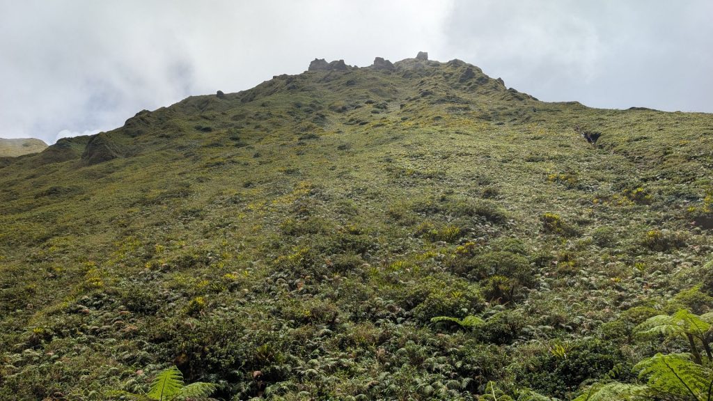
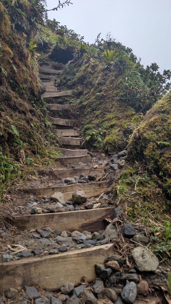
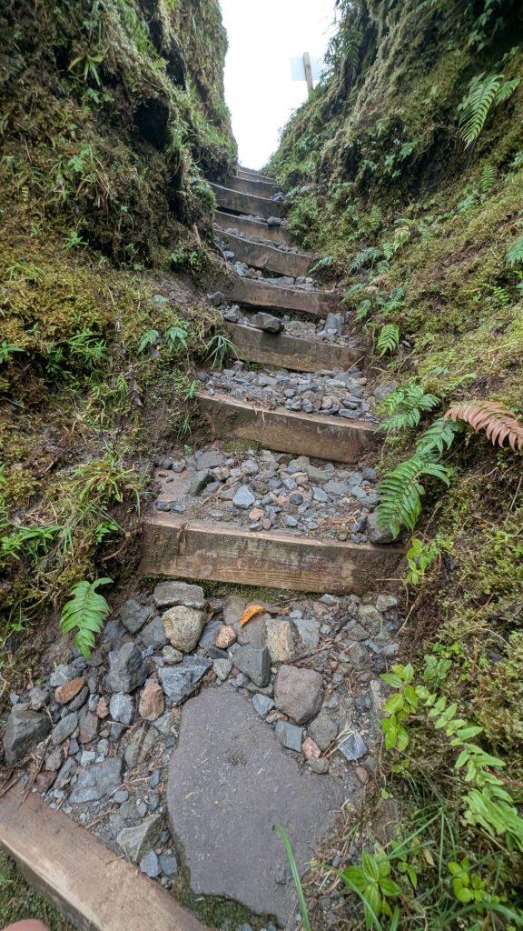
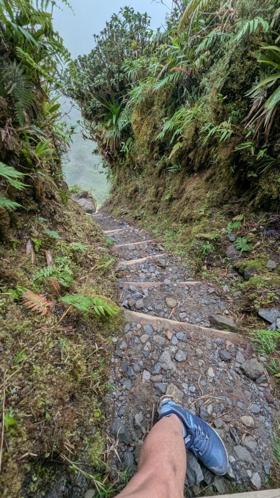
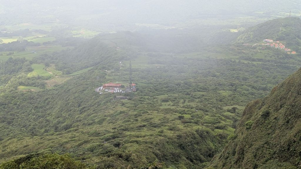
There are a lot of stairs. When the stairs disappear, it is just dirt or rocks. But before we go there, here is an aerial picture of Mount Pelée. Isn’t it beautiful?
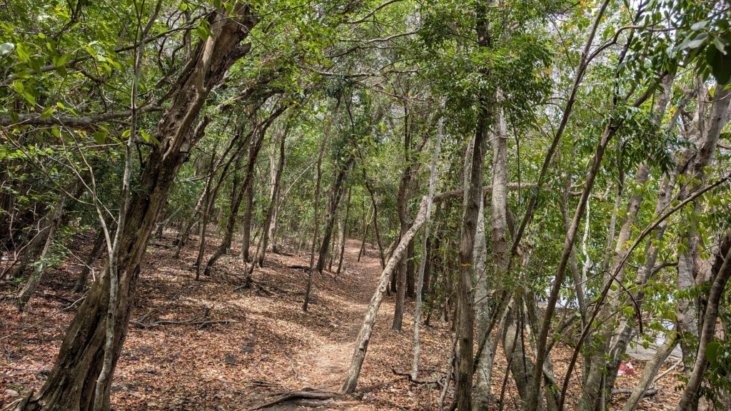
There is no slow introduction to the hike. You immediately start stepping up. I think the best way to train for this hike is to spend hours on your Stairmaster. 🙂 This first part of the trail (before you get to the caldera) is a combination of uber steep sections, short flat sections, one downhill area, and less steep sections. But it is still a really good workout!
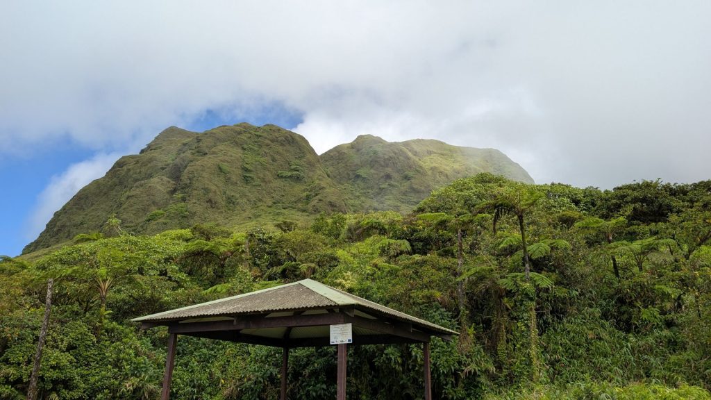
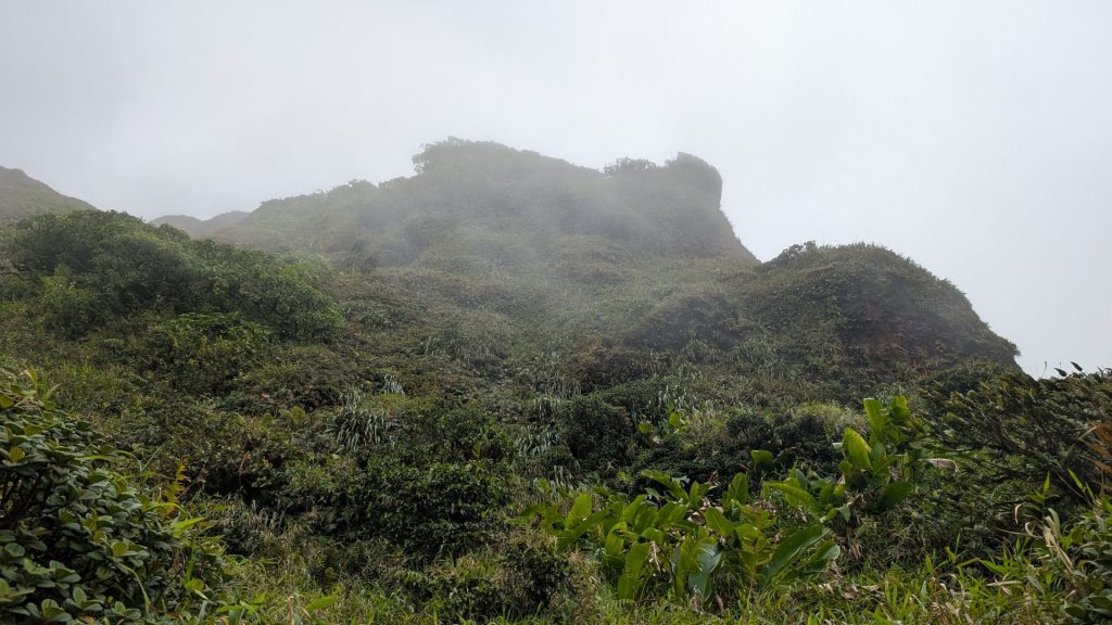
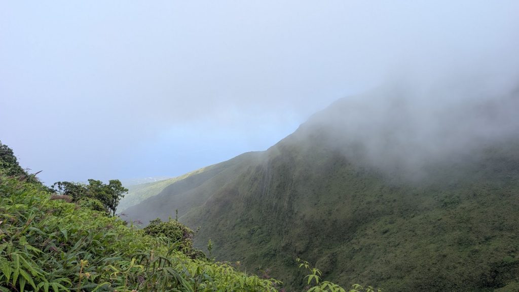
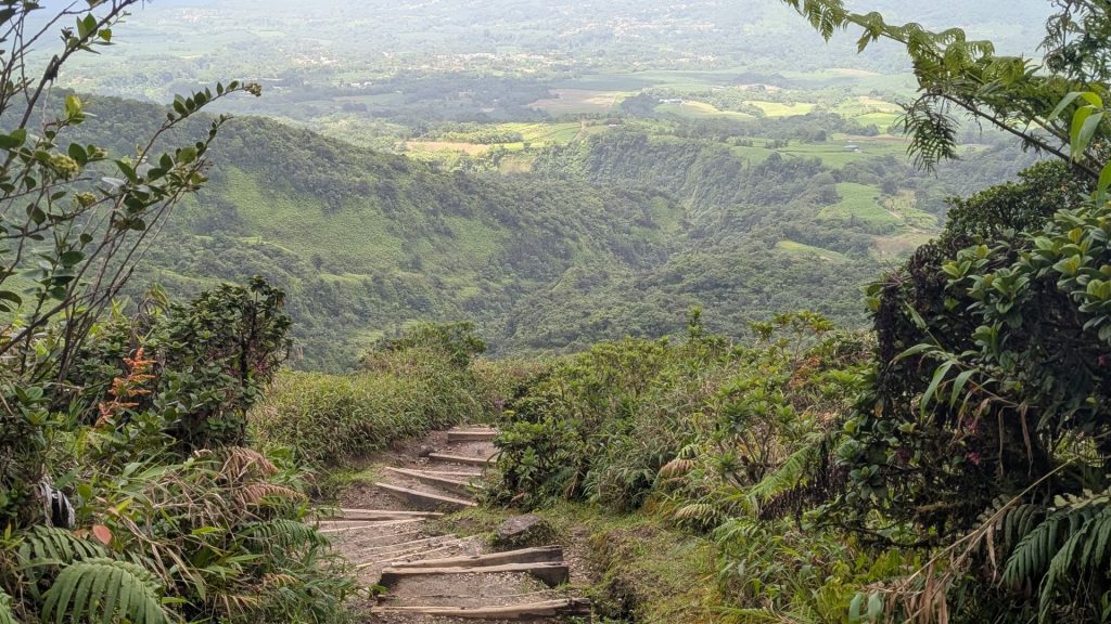
View most of the time:
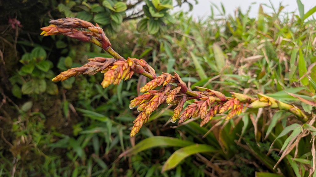
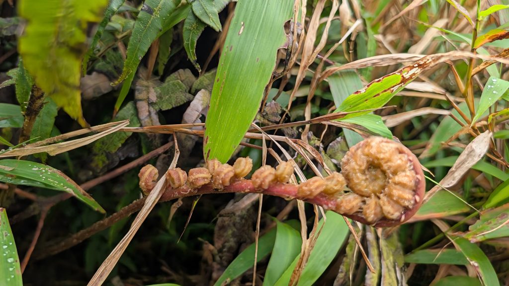
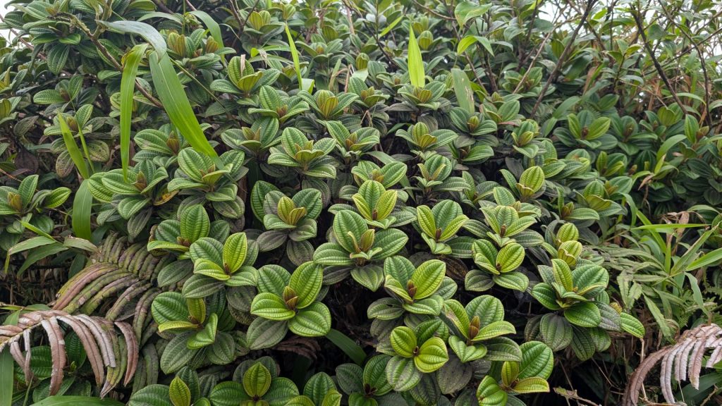
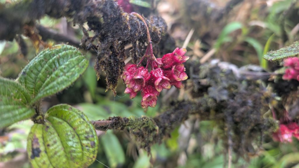
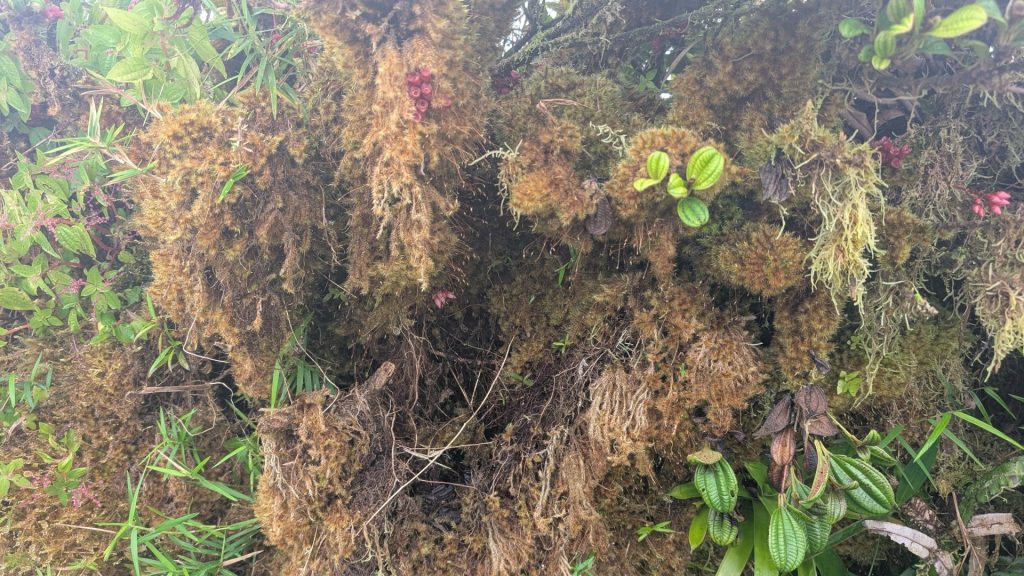
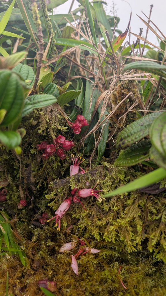
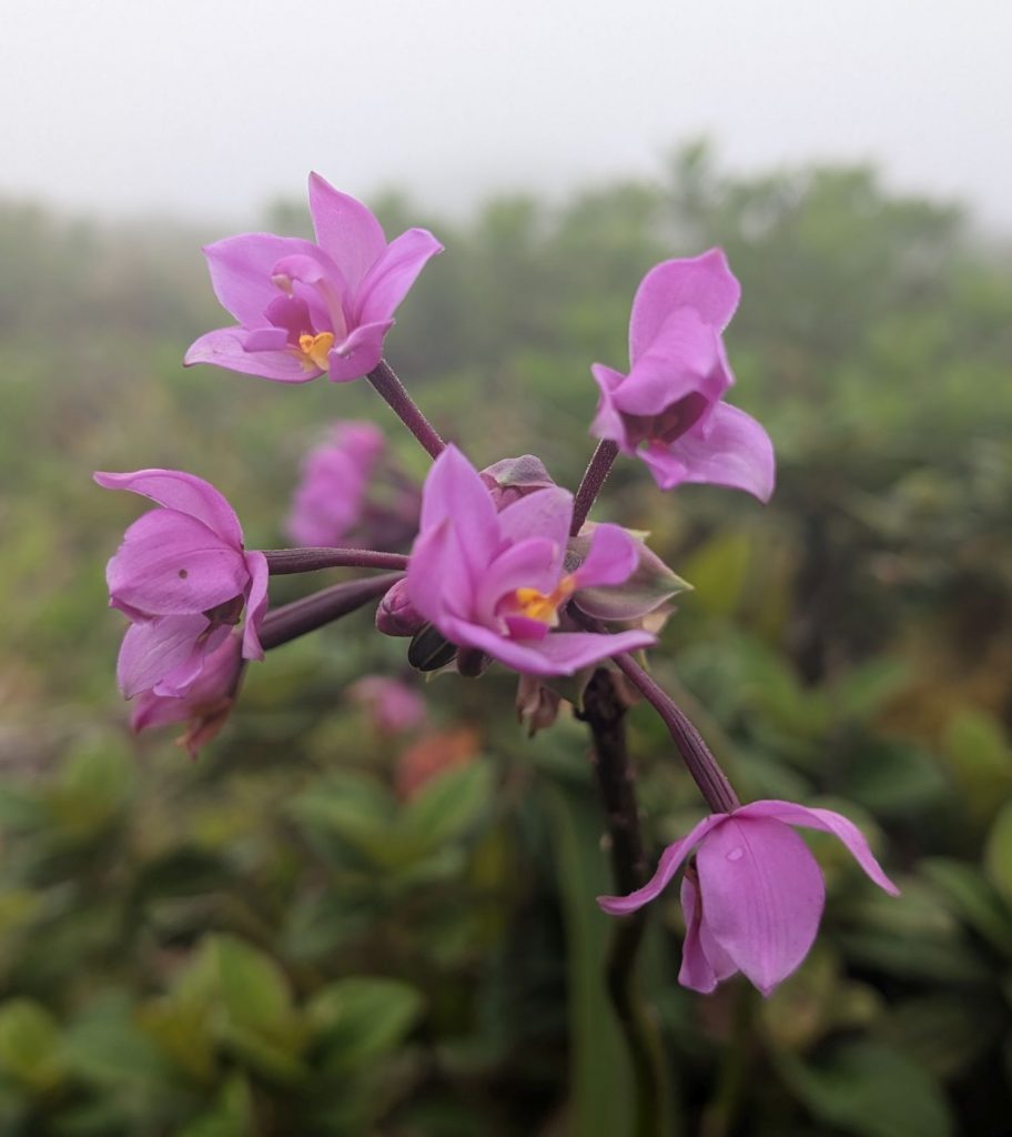
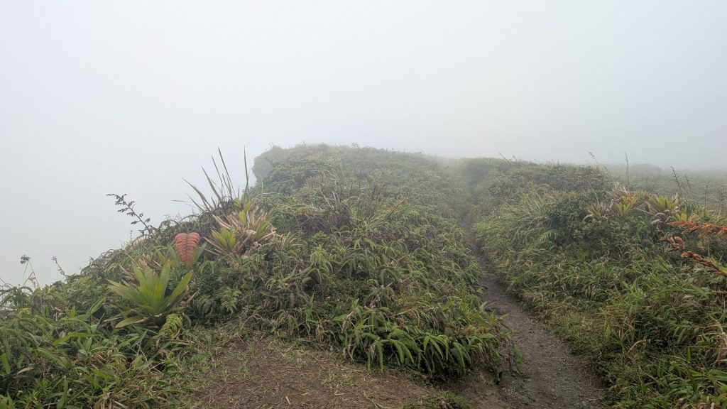
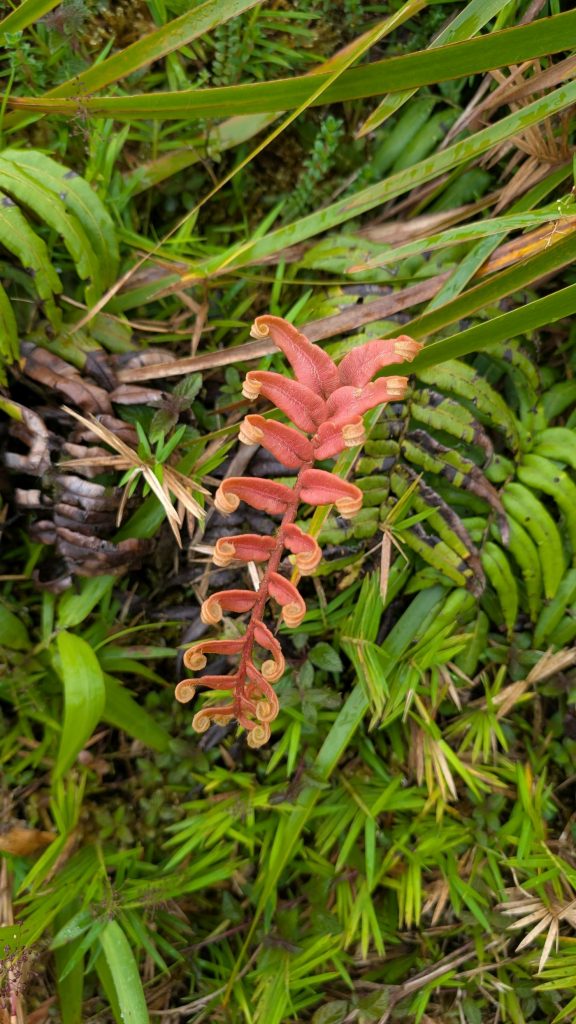
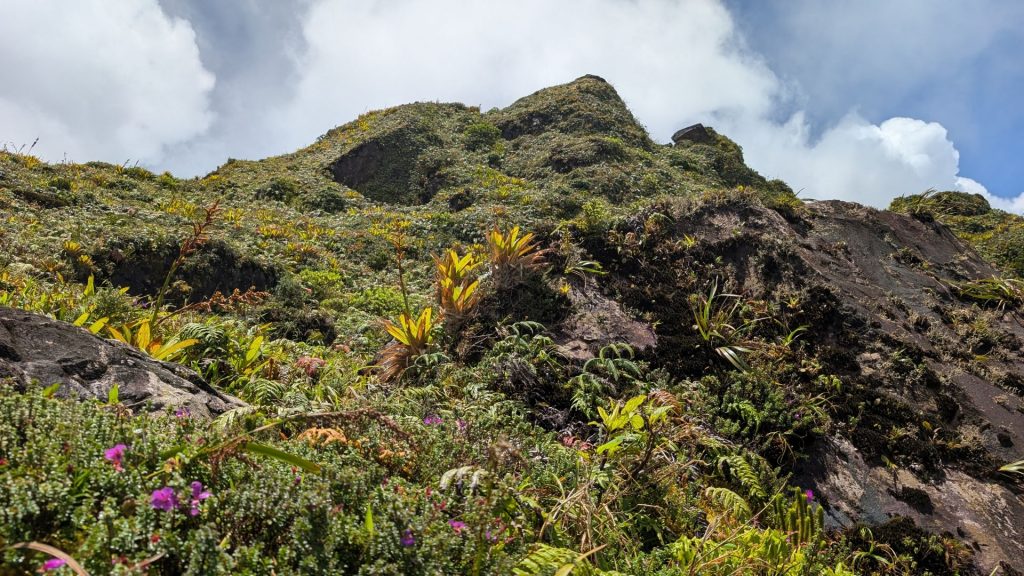
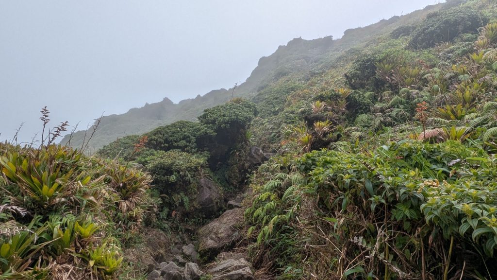
There are many pretty and interesting plants along the trail.
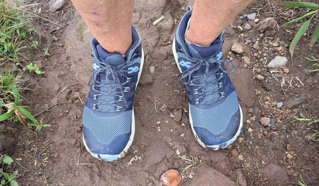
It isn’t tourist season, so I didn’t encounter a lot of people along the trail. Maybe about two dozen or so. I tend to hike quickly, so I passed all of them. (This isn’t a brag, just the way I like to hike.) I wore my brand new hiking shoes on this hike. They worked great!

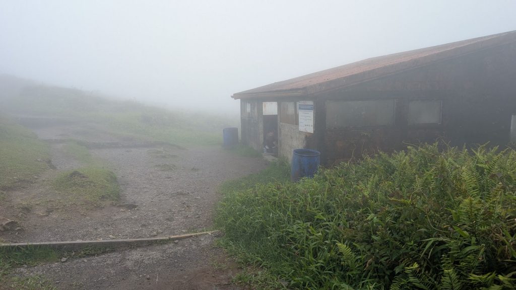
There is a flat part called the Plateau des Palmistes, which lies just before the second refuge (which is at the beginning of the semicircular walk around the caldera), at an altitude of around 1,200 meters.

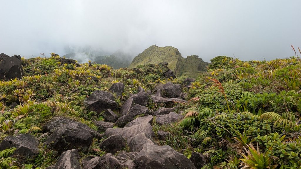
I am at the caldera now. The picture on the left below shows what I see when I look down at it. The picture on the right is of the path. It is nice and flat around the caldera, which was nice because my thighs are already getting a bit tired.
It started to rain when I was walking around the caldera. I was getting a bit chilly so I asked Mother Nature to stop the rain. She did. What a gal!
More pictures of the walk around the caldera:
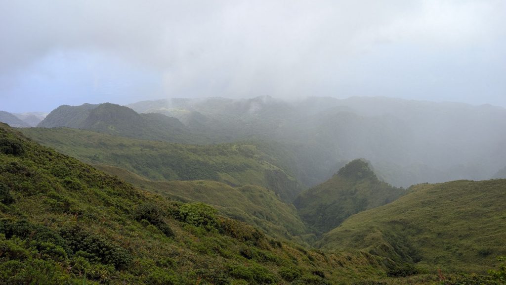
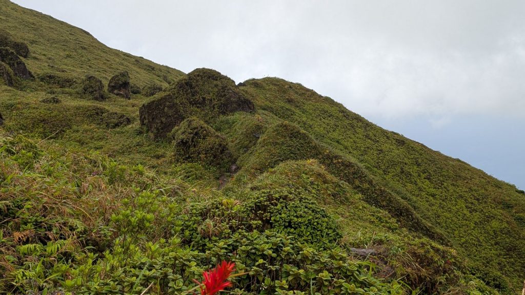
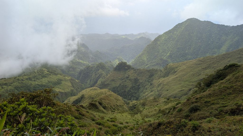
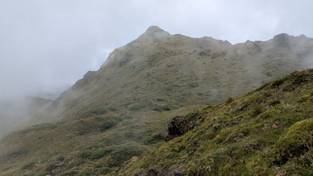
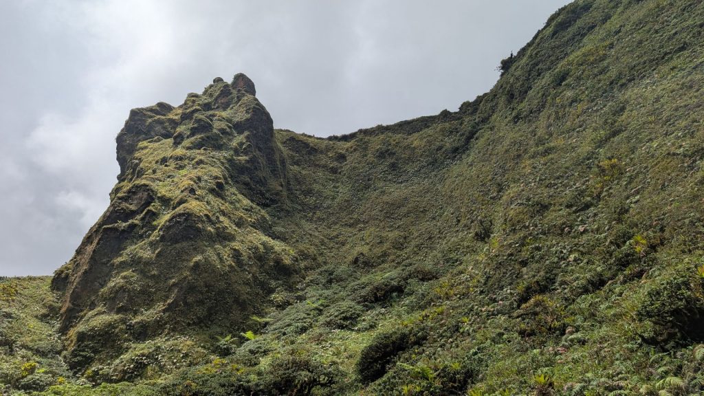
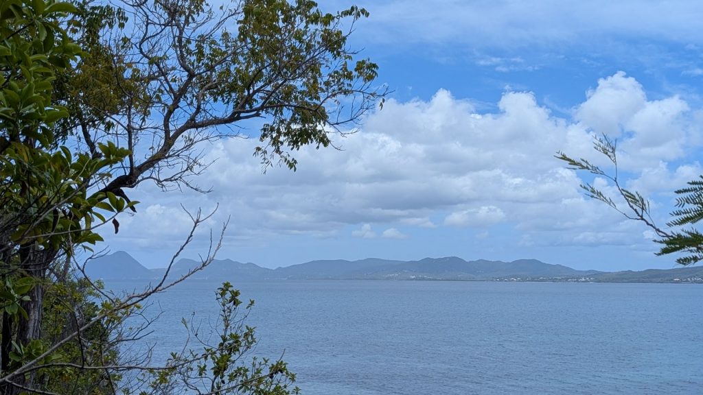
I saw the beginning of a view, which only got more beautiful as the mist lifted. I just love the land formations! I took pictures before and as I hiked up, up, up again, as one does on this trail!
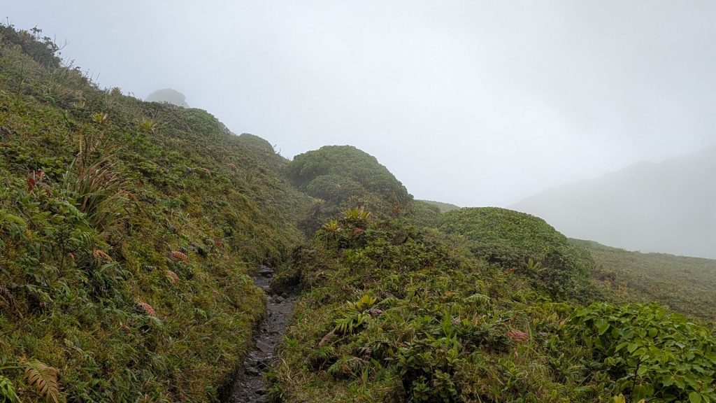

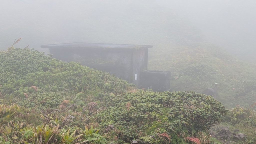
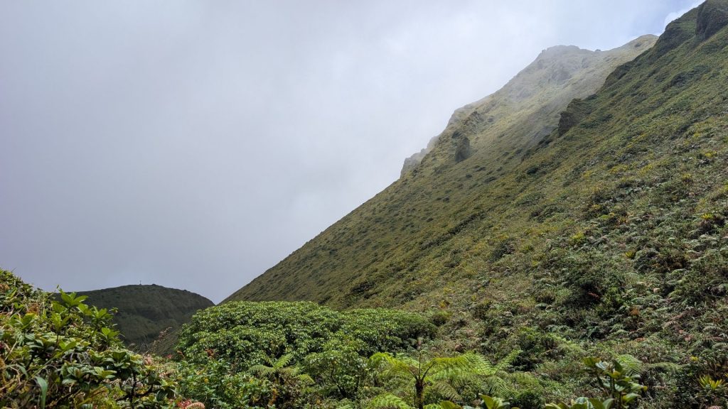
This is where I am at this point. This is the third refuge. After circling the Caldera and passing the third refuge, it’s time to head for the summit of Le Chinois, the highest point of Montagne Pelée.
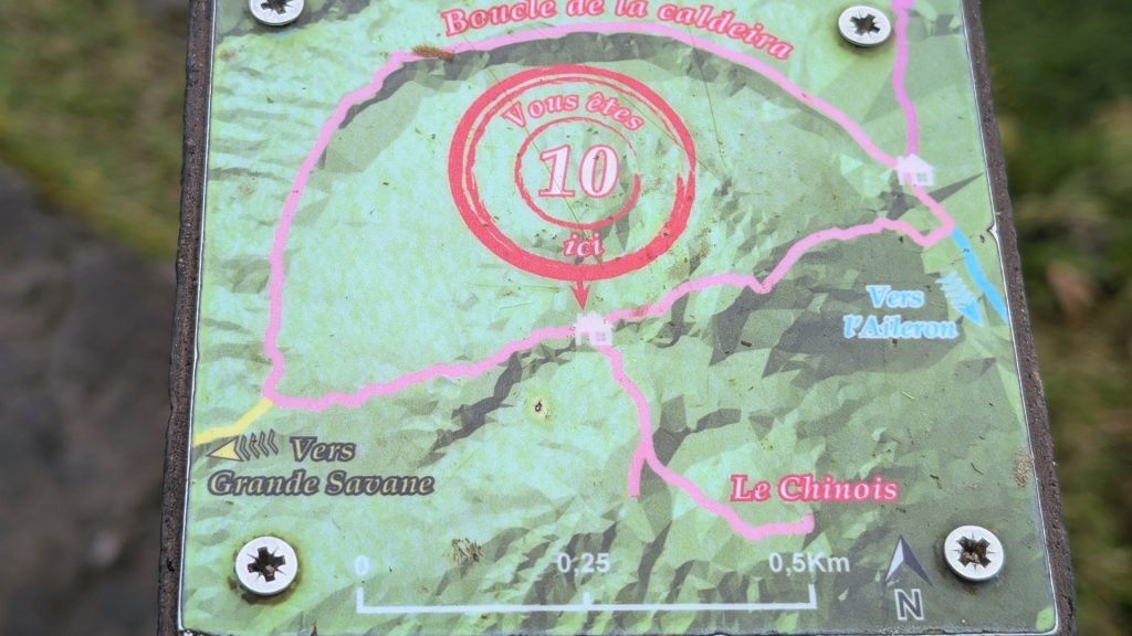
To compare it to the screenshots I shared above, I just finished going up this steep part (in blue), but I am actually farther than that: I am at the part that connects with the trail that goes to the right:
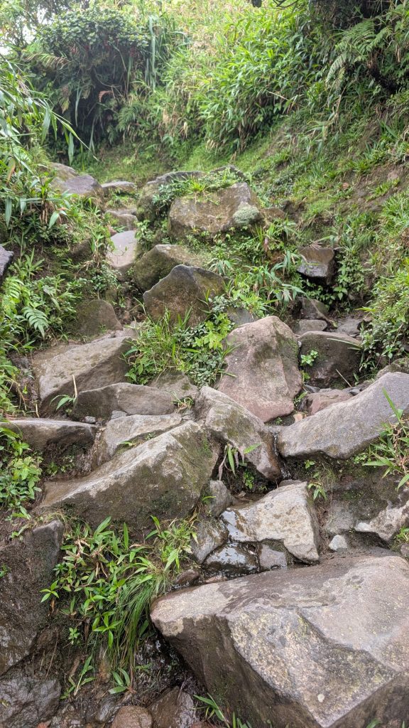
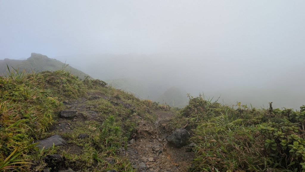
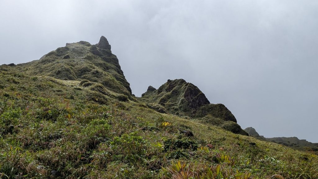
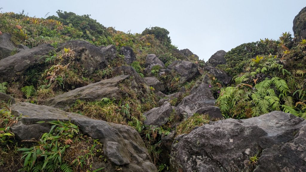
Now I am on the last stretch to the top. This section is all boulders, so a lot of scrambling. The picture on the right-hand side below is the top. I took very few pictures up here because it was too misty to see much. But the top, which seems to be the rock with the orange paint on it, was a little difficult to pinpoint, but my AllTrails app told me I was there.
And now, what do you do? You go back down to that intersection I showed you before.
And when you get down to the intersection, you go right. And then you go up again. Really far up.
Looking back up:
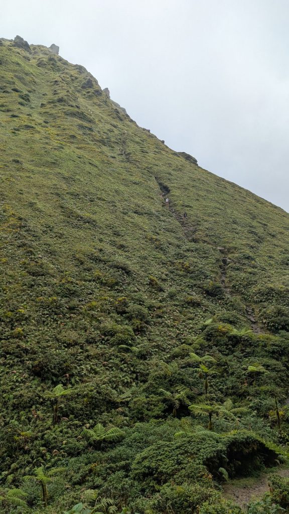
And then you go down again. I thought that I had completed all of the ascending sections, but I was wrong. But first, here’s a picture of the part I just hiked down. You can see a person wearing a white shirt climbing down.
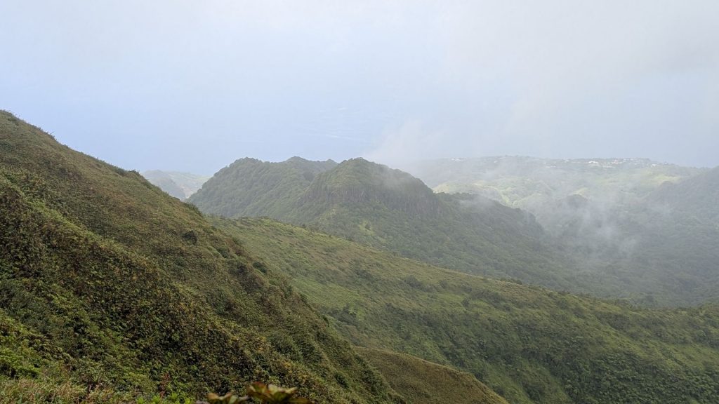
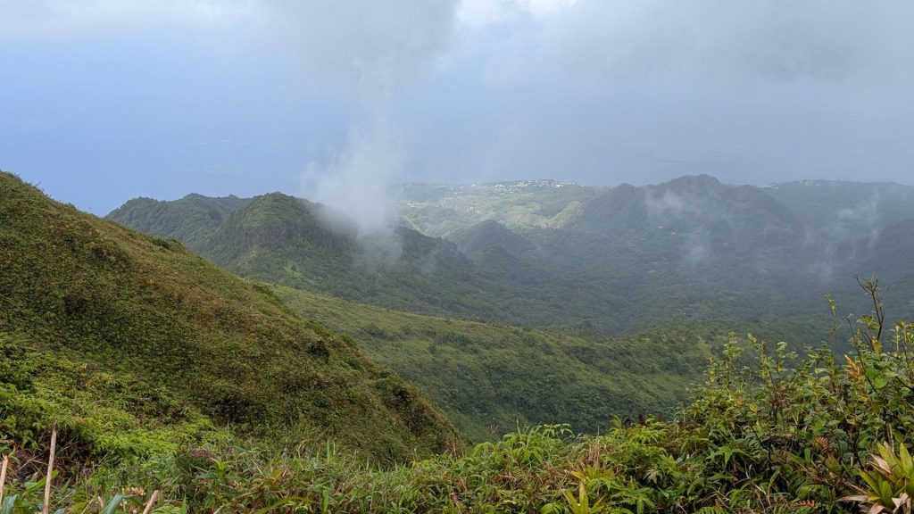
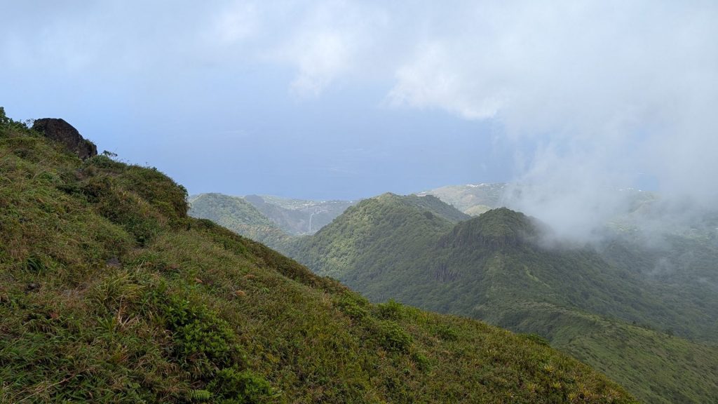
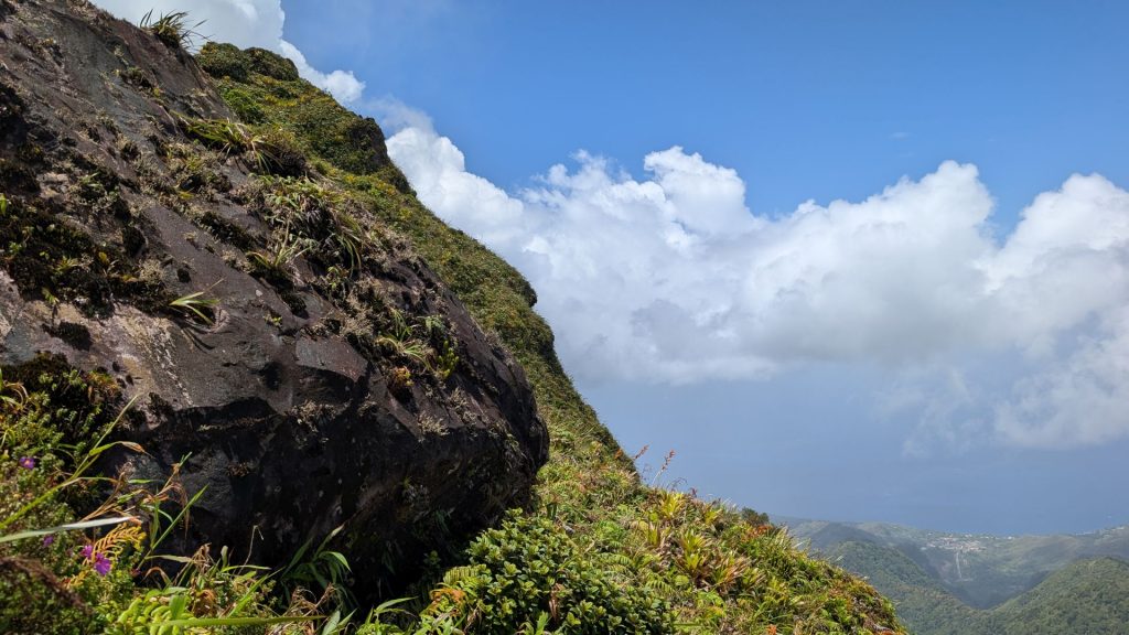
There were nice views of the valley here.

And then one more section to climb. Many steep stairs, and a ladder.

This eventually connects up with the trail you started on. There is still a way to go, but it is mostly downhill from there.
It was clearer down here, so I could get some decent pictures.

And that’s the hike! Here are my stats. I burned a day’s worth of calories. 🙂
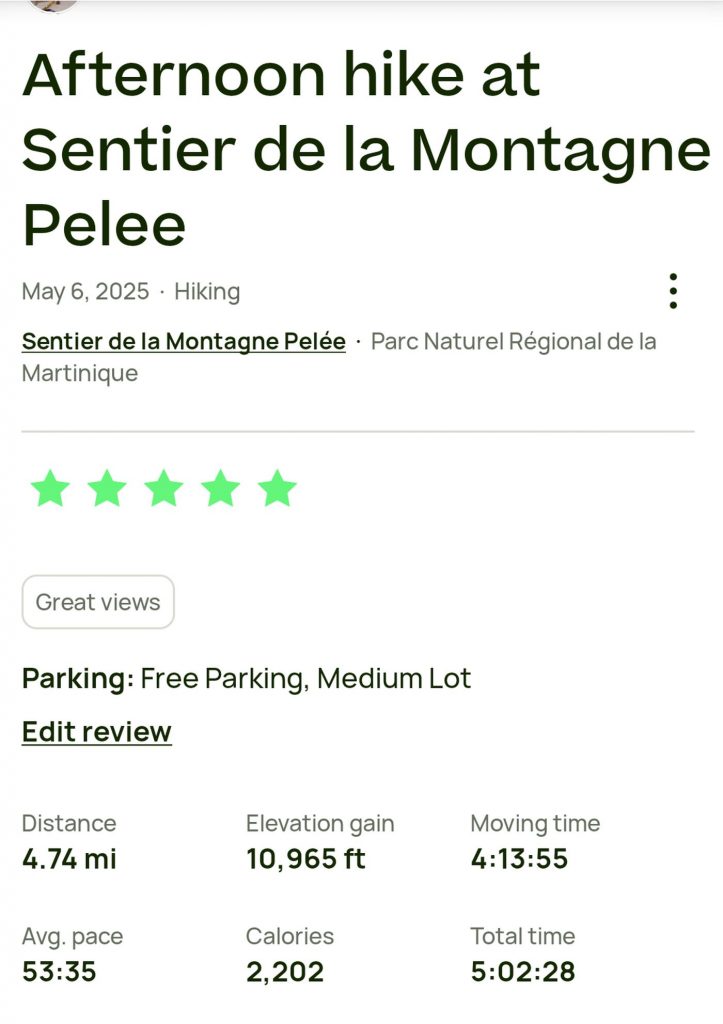
I was happy with my time. Most of the nonmoving time consisted of taking pictures, but I did take a couple of short rests as well.
The rest of the day consisted of chilling.
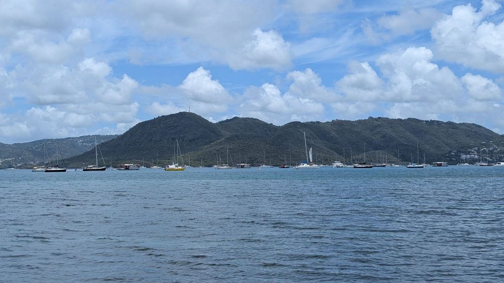
We headed south the next day, but not until we took a nice dip in the swimming pool. Boy, did that feel good!
By the way, this is where we stayed in Saint-Pierre. We highly recommend it: MadiCreoles – Sarl Obelix. We stayed in Studio Soleil.
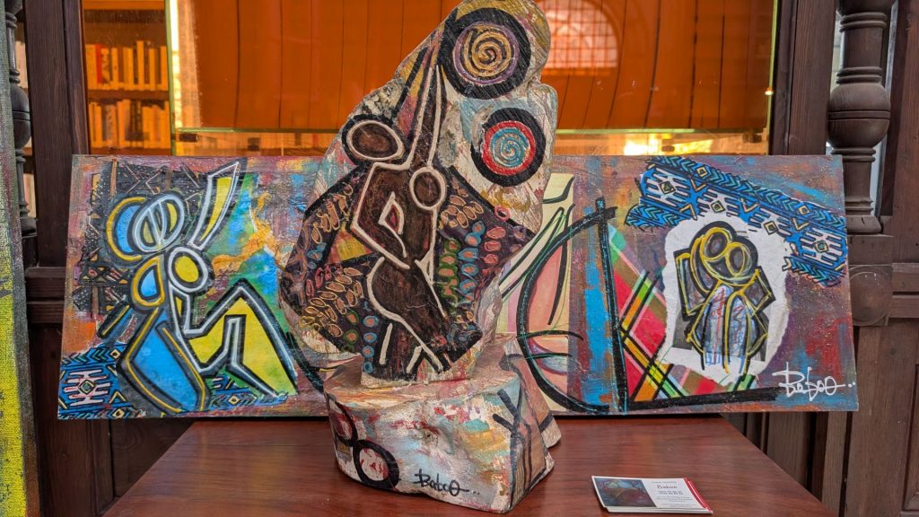
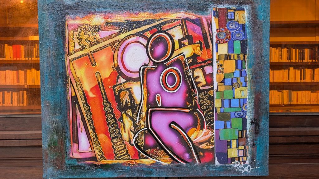
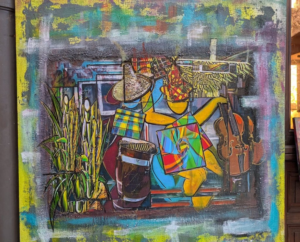
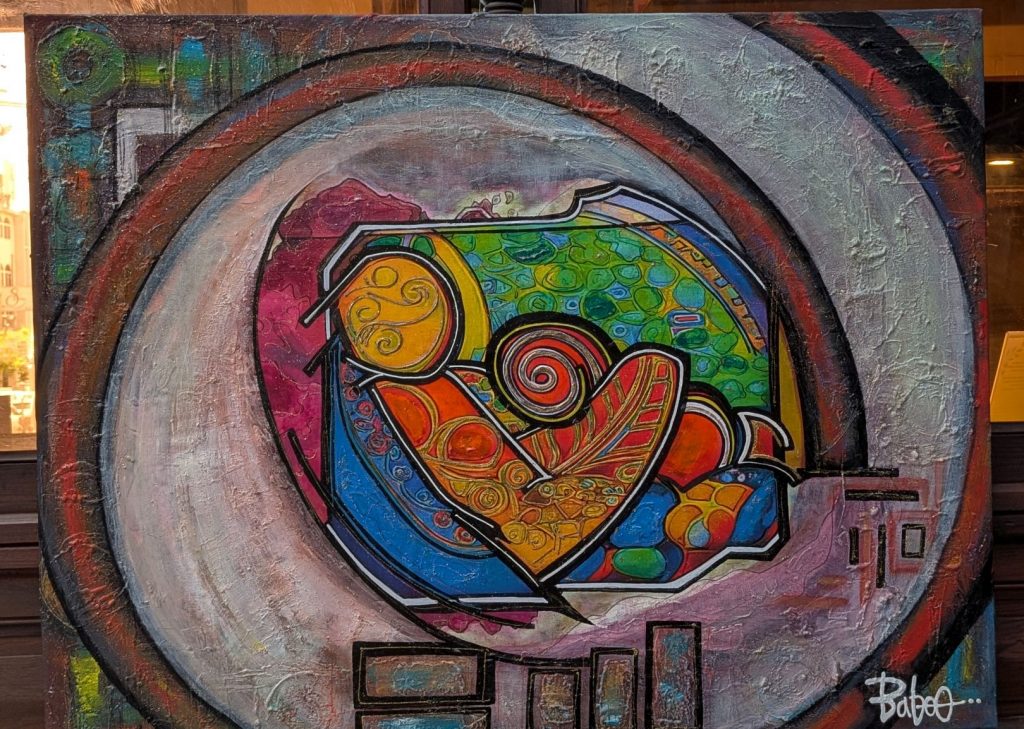
Our first stop was Fort-de-France. We didn’t spend a whole lot of time there, but we saw some fun stuff, especially the art display that we visited inside of the library!
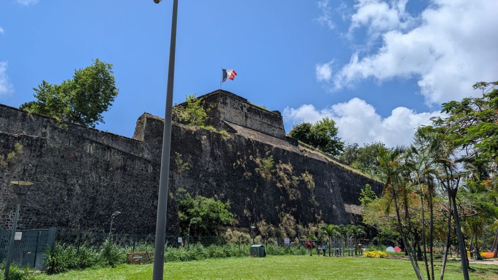
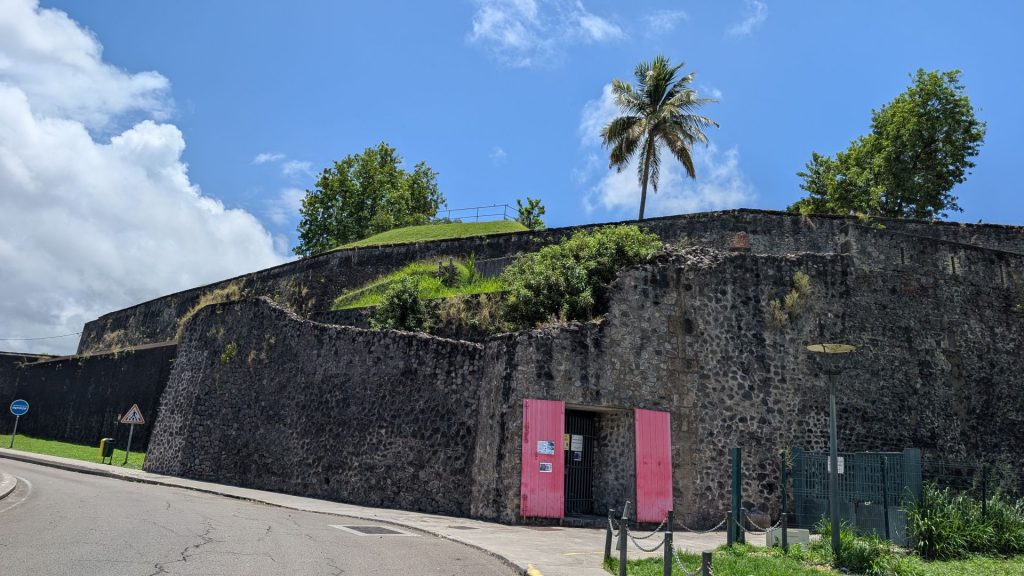
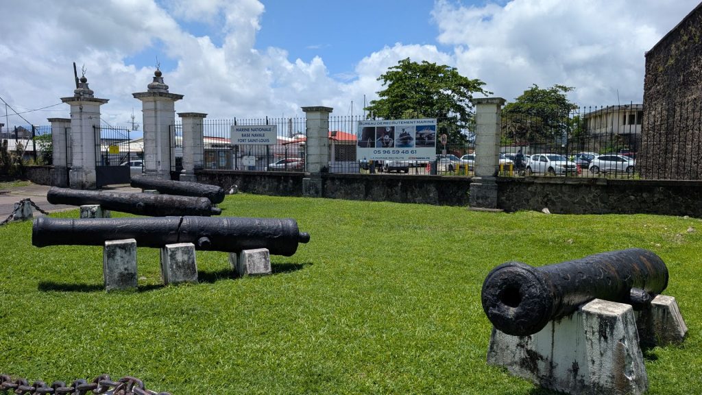
This is Fort Saint-Louis. It is the first building built in the city, in 1640. It was designed to defend access to the city against the invasion of enemies: Dutch, Portuguese, but mainly English; because at that time English and French were engaged in a fierce struggle for possession of the islands. The modern-day Fort Saint Louis is both an active naval base and a listed historic site of France.
You have to take a guided tour to go inside (and only some areas are open to the public since it is an active naval base). It was about to close for the lunch hour, so we just took pictures of the exterior.
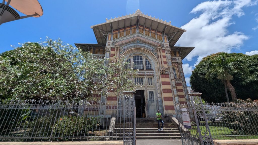
Pictured below is the very ornate Schoelcher Library. Victor Schœlcher (1804 – 1893) was a French abolitionist, writer, politician and journalist, best known for his leading role in the abolition of slavery in France in 1848, during the Second Republic. He was also a man of letters, known for his patronage work. On his death he bequeathed to the city of Fort-de-France a personal collection made up of more than 9,000 works… The library of the capital city now bears his name. I should note that he wasn’t loved by all. Some folks in Martinique took down a statue dedicated to him because he was viewed as a colonialist. It hadn’t been rebuilt at the time we visited.
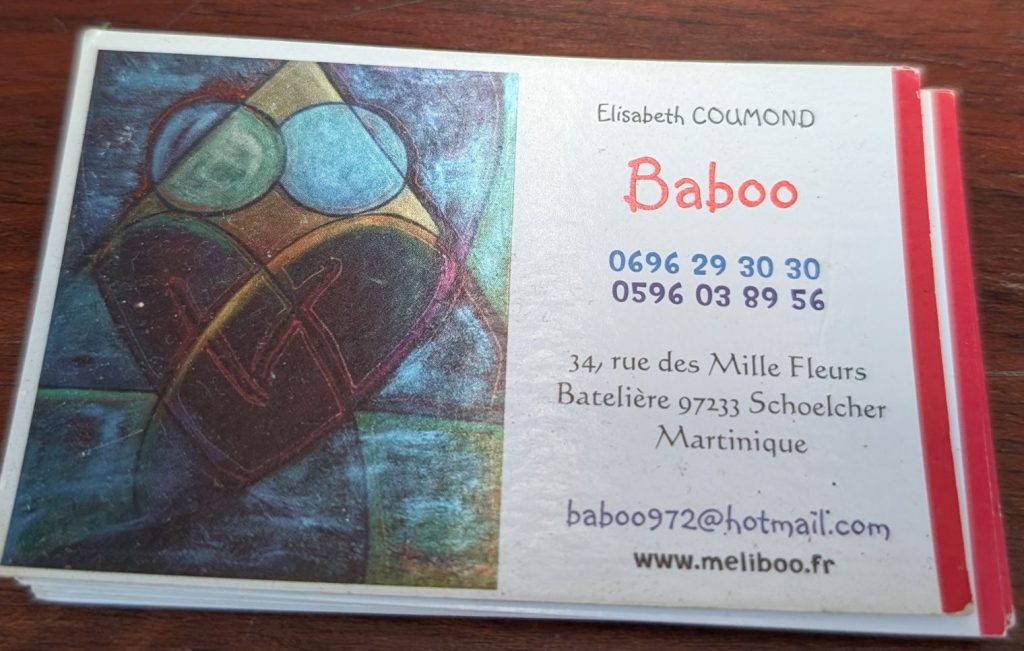
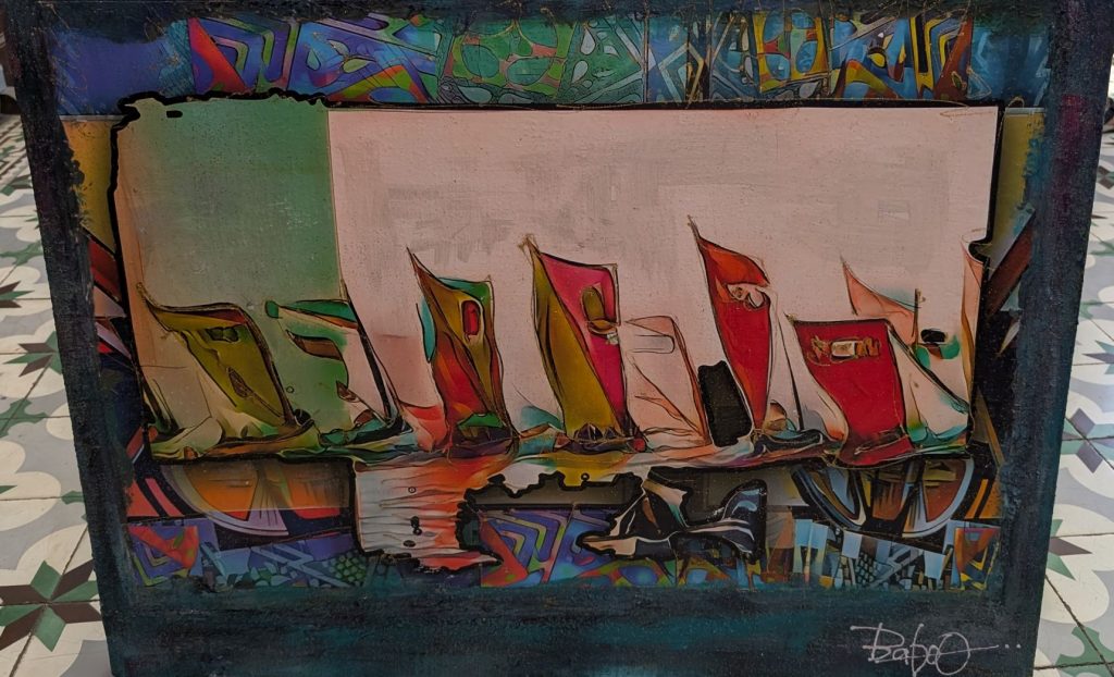
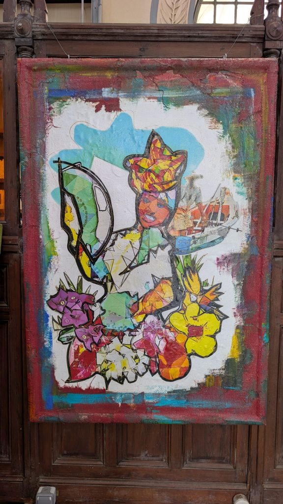
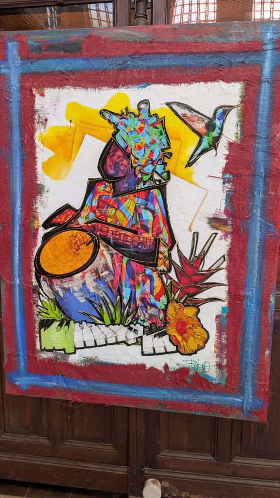
We walked inside and were pleasantly surprised to see the art on display. Here is a copy of her business card and her artwork:
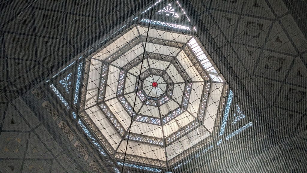
And the skylight in the library:
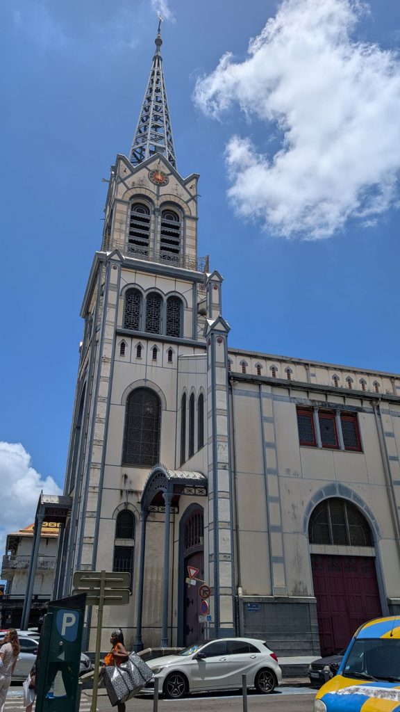
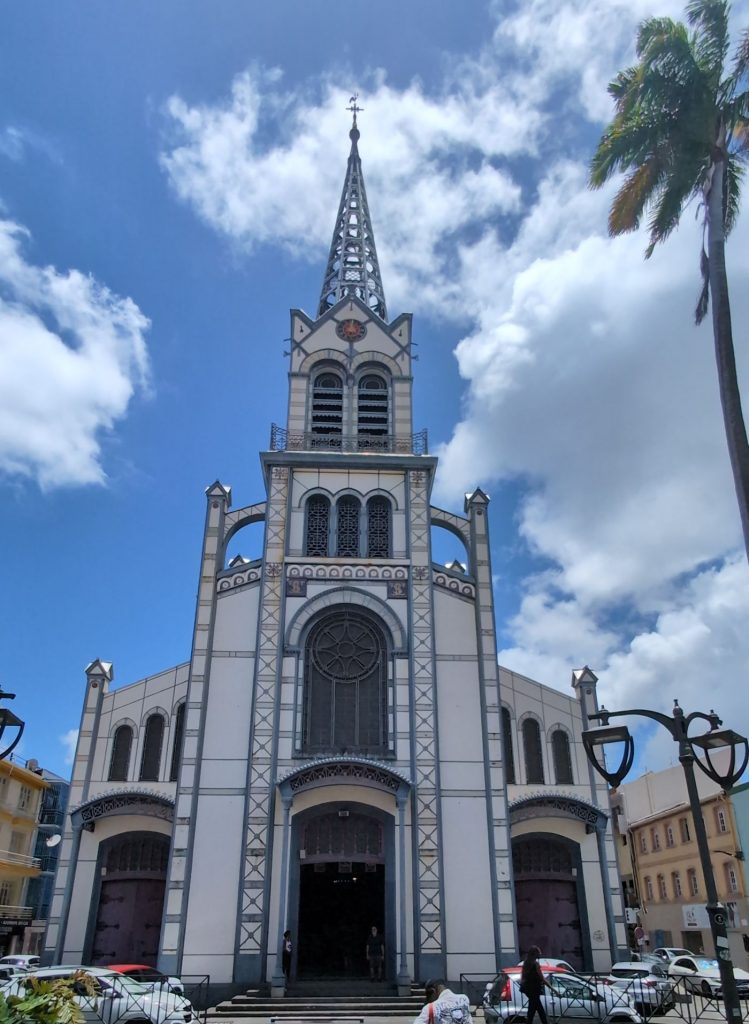
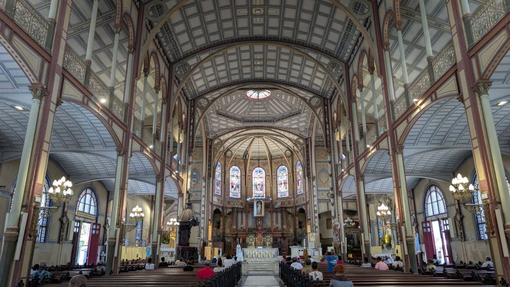
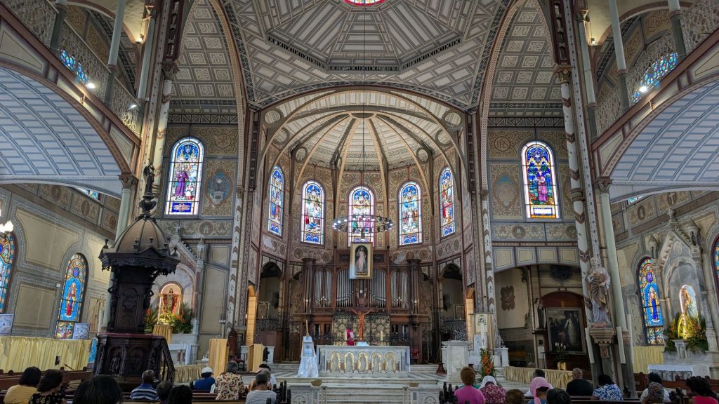
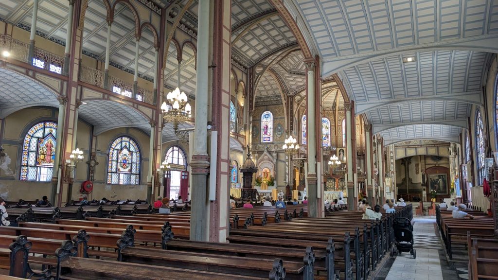
Our next stop was St. Louis Cathedral. The cathedral bears the name of a king of France: St Louis. It was built in the late 19th-century in the Romanesque Revival style and serves as the cathedral of the Roman Catholic Archdiocese of Fort-de-France.
The construction of the cathedral began in the mid-17th century and it opened in 1657. Due to natural disasters, such as fire and earthquakes (it was burnt down by the Dutch in 1674, destroyed by an earthquake in 1839, destroyed again by a fire in 1890), the current structure dates only to 1895. It was built with an iron frame in order to withstand any further such events. It is the seventh church to be erected on the site; it was built by Pierre-Henri Picq.
When we visited, the bells were ringing. A lot! Like, for a long time. Loudly. Not sure why.
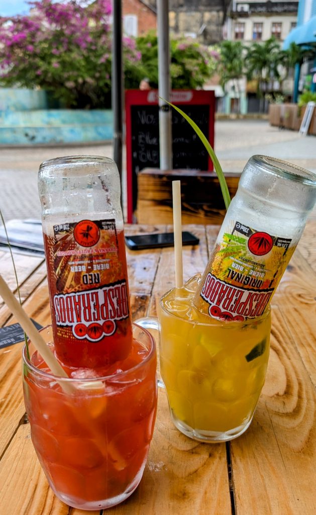
That was pretty much it for us. We stopped for a beverage before heading back to the car. The beverages were very yummy! The waitress warned us not to remove the bottles. 🙂
Our next four stops were for boat supplies. It took three chandleries to find the electrical plug we needed, but just one trip to the refrigeration place to buy what we needed for the fridge/freezer.
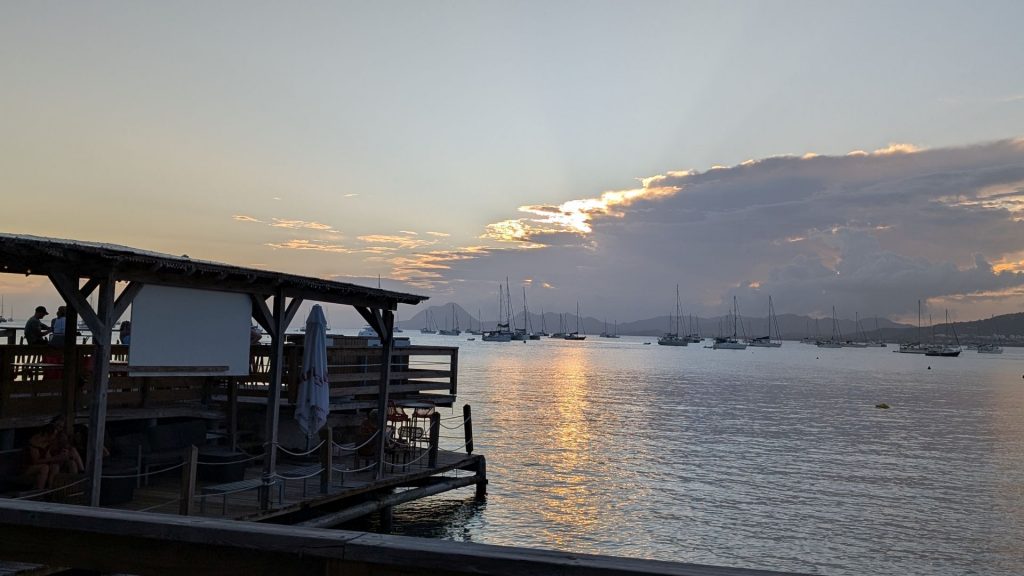
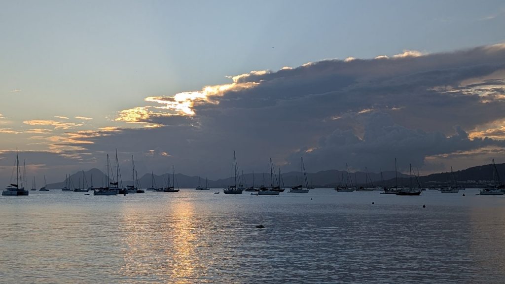
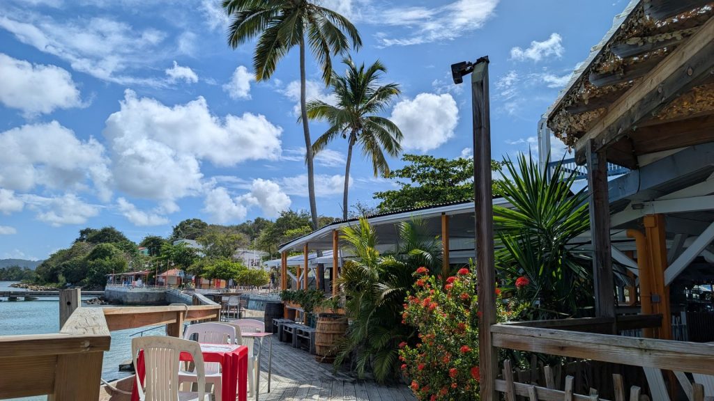
We had taken enough time that by the time we reached the hotel it was time for happy hour. Then, dinner. The hotel we stayed at has a restaurant, so we took the easy way and ate there. It was a nice, peaceful evening.
Breakfast was included with the price of the hotel, so we ate there. It was a quiet and peaceful setting again.
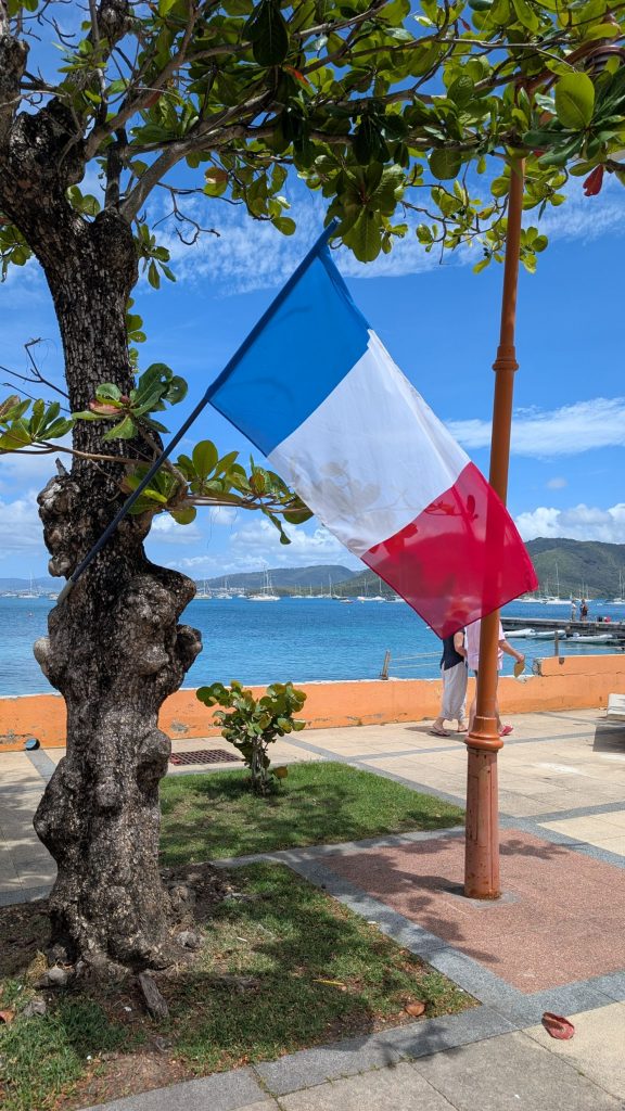
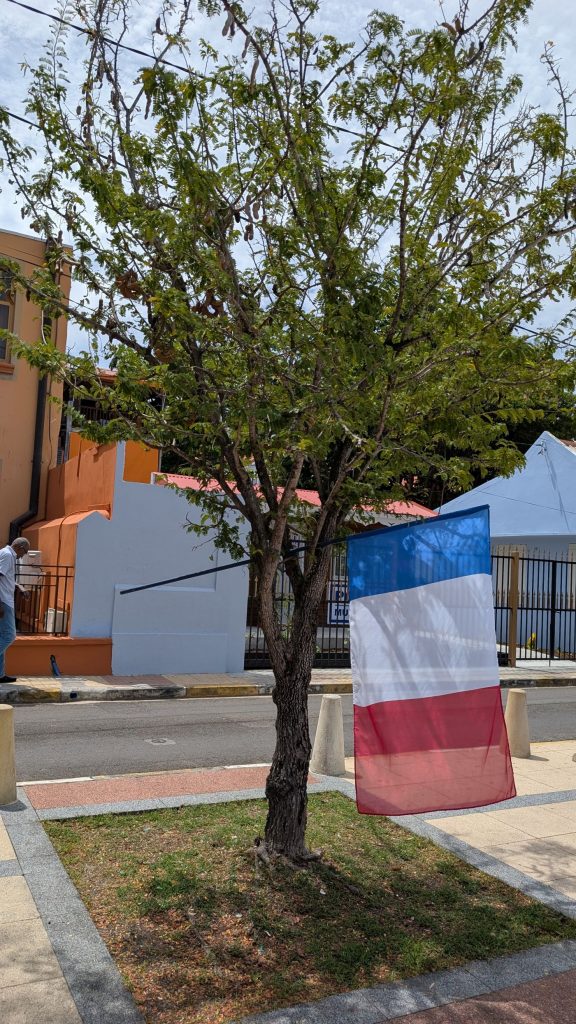
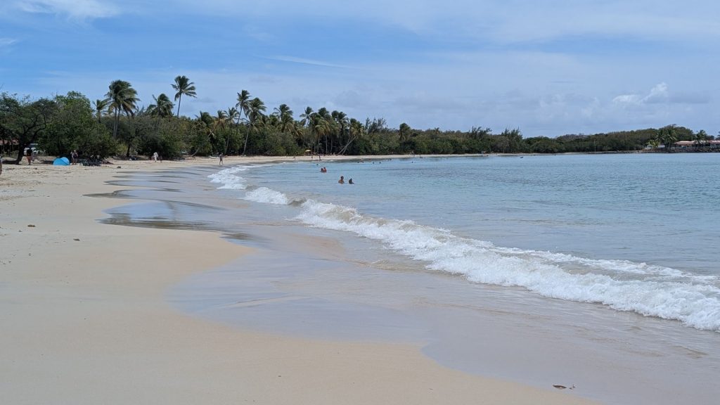
When we went back to our room to chill for a bit, we heard music and someone apparently giving a speech. I got curious after a bit and decided to take a walk. It was then that we remembered that it was VE Day. The speaker was gone but I saw some French flags hanging in the trees.
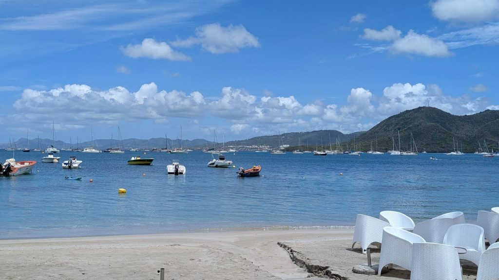
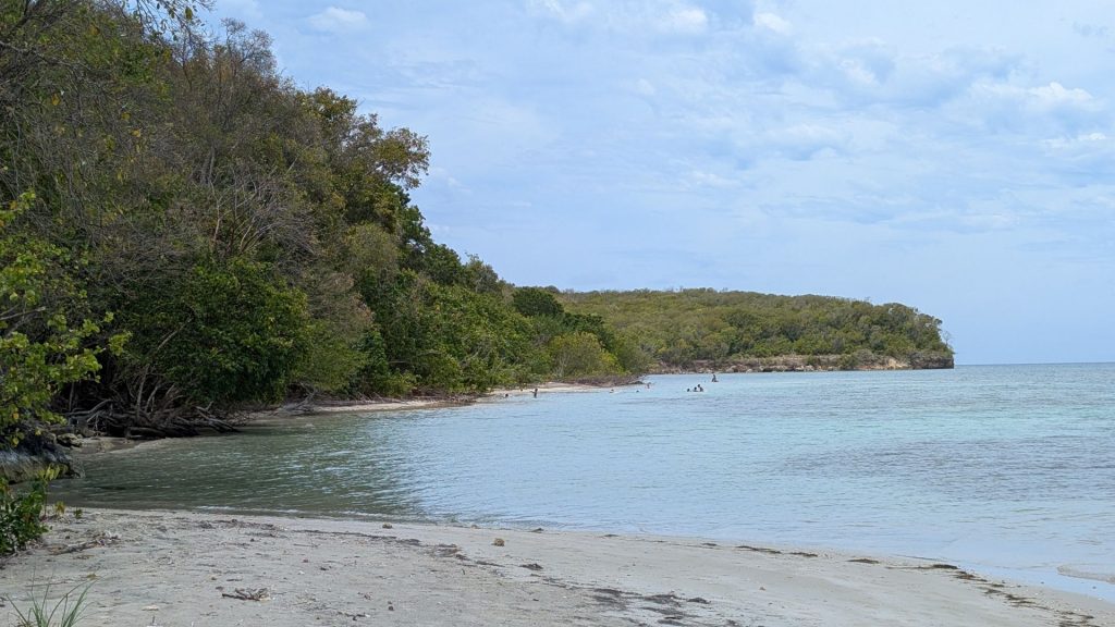
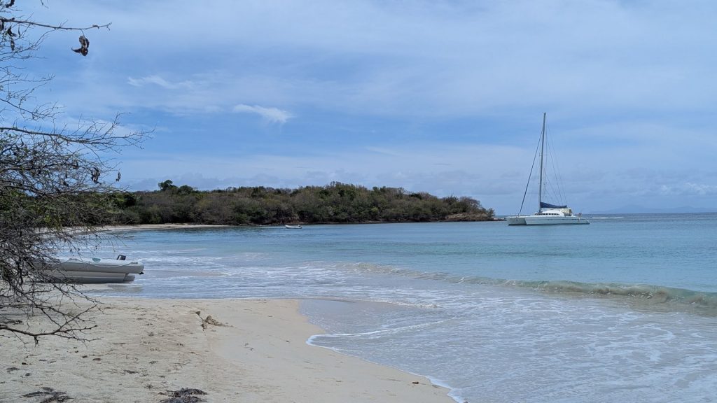
After walking a bit more and taking a couple more pictures of the beach, we drove to the parking lot where we would start today’s hike.
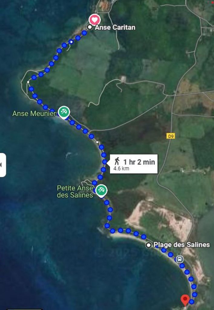
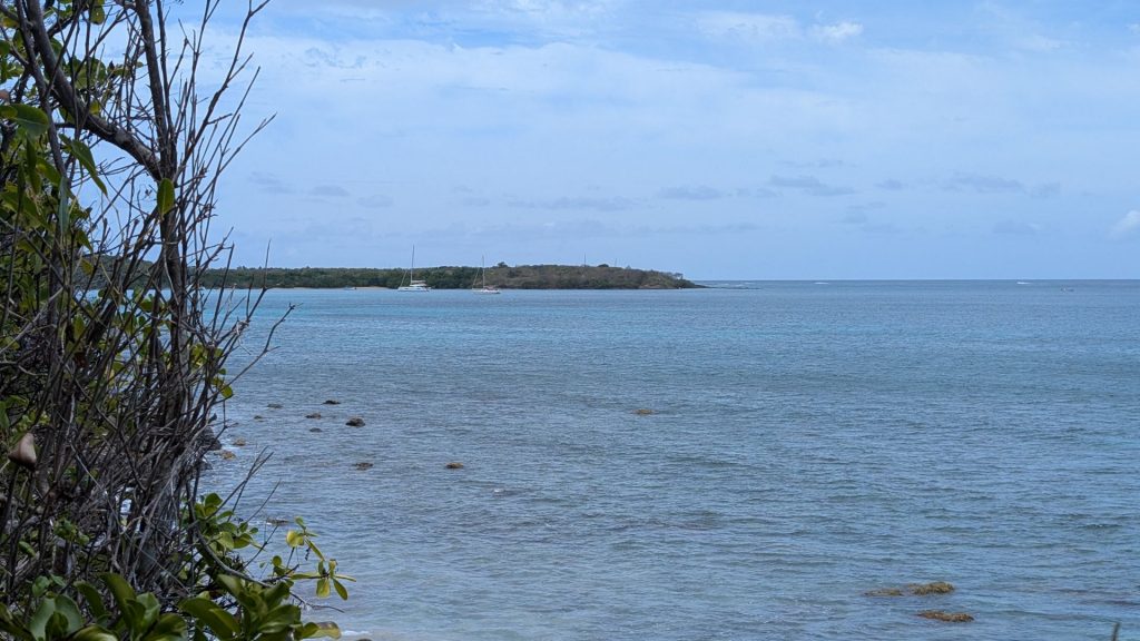
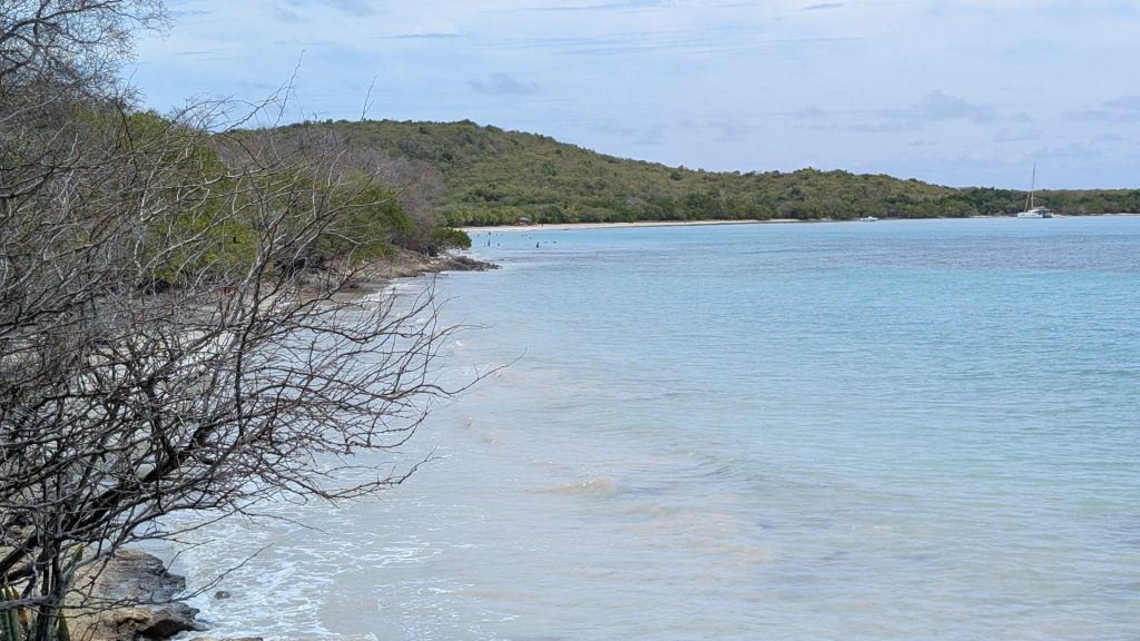
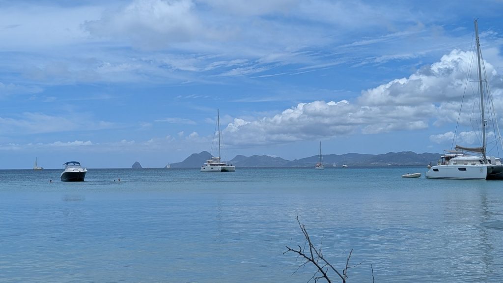
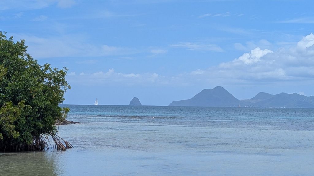
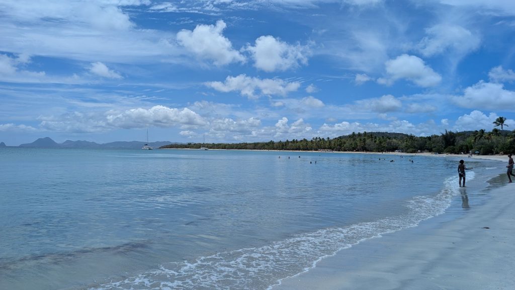
Today’s hike was from Caritan Cove to Salines Beach. It is mostly flat. It follows the coast, so there are always great views just off to the side, including lots of little beaches and bays. Here’s a map of the hike (we walked out and back, so twice the distance shown here):
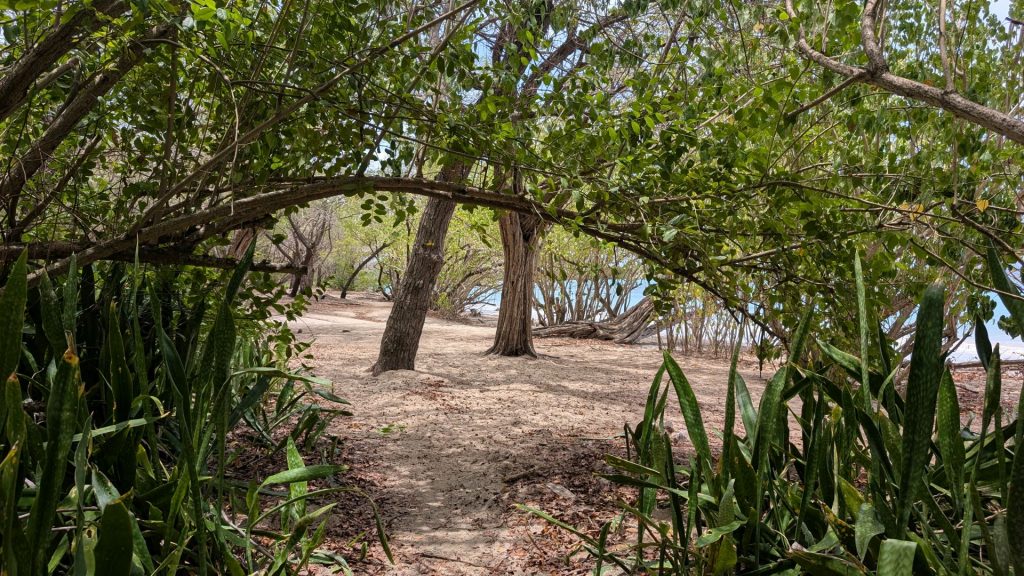
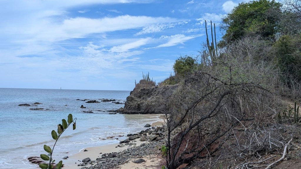
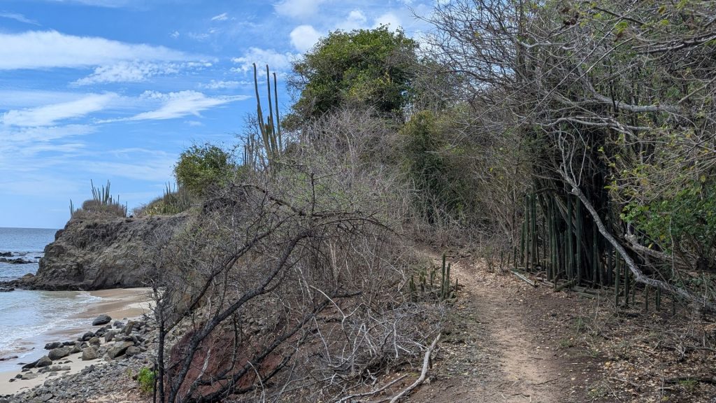
It was a hot day, so we were glad to have brought a 1.5 bottle of water with us. It wasn’t a hard hike, except for the heat. Here are some pictures of the hike and scenery.
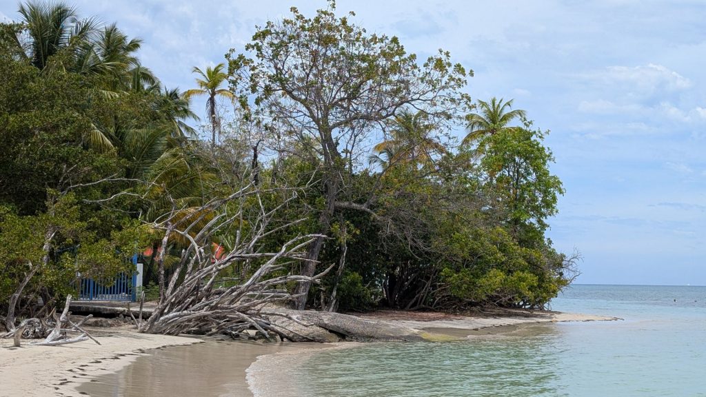
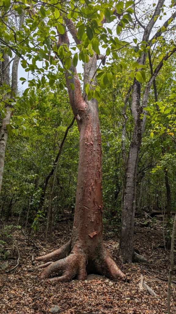
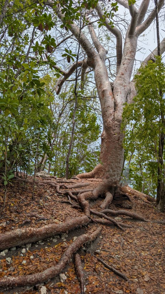
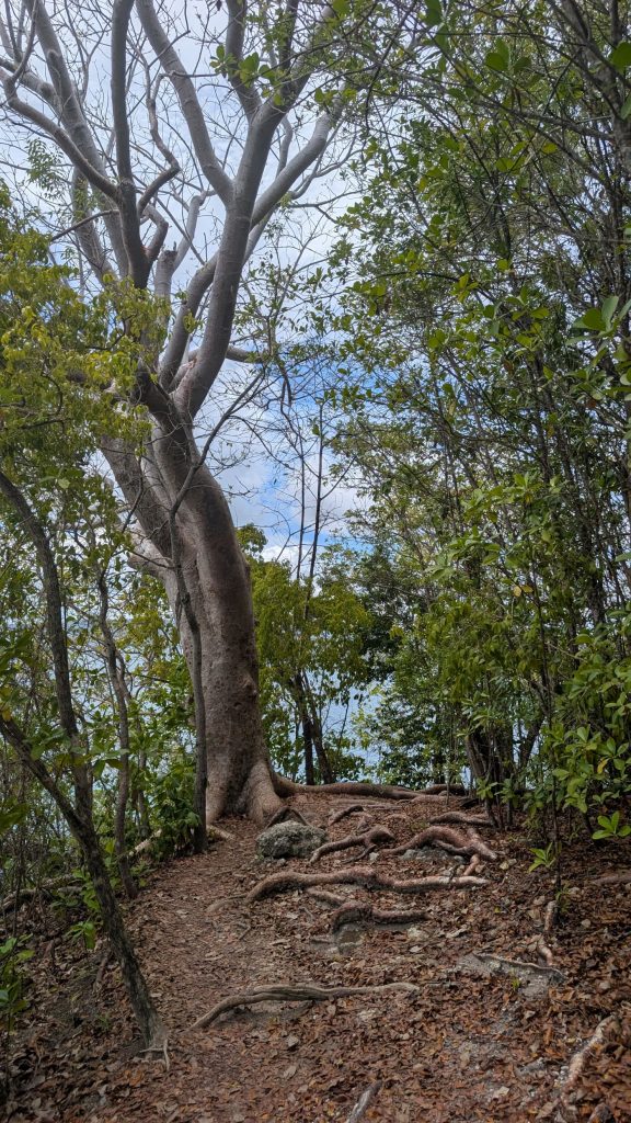
Very cool trees along the path!
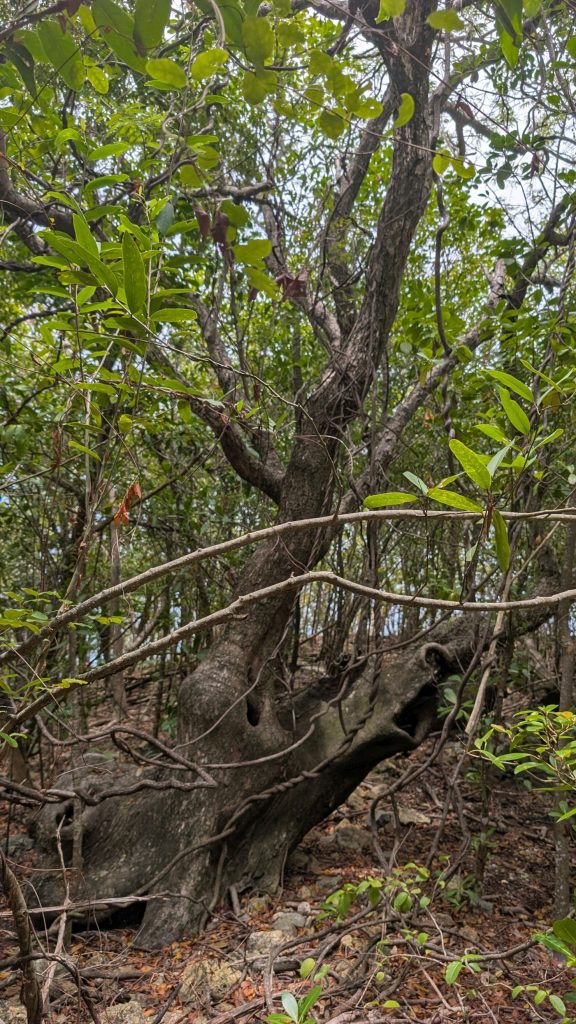

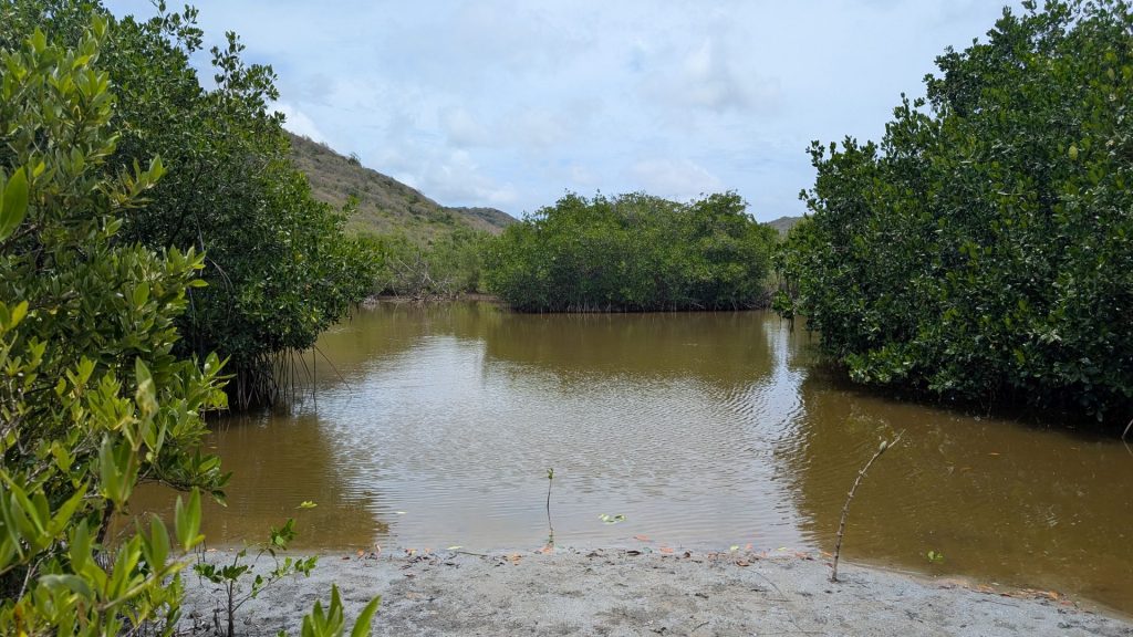
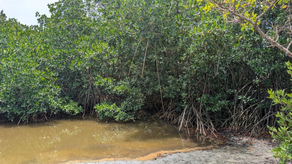
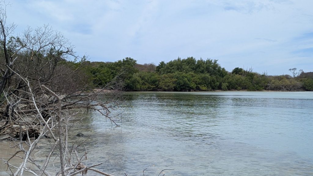
A Mangrove (next two pictures):
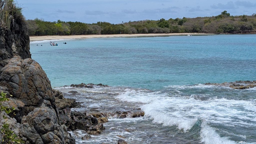
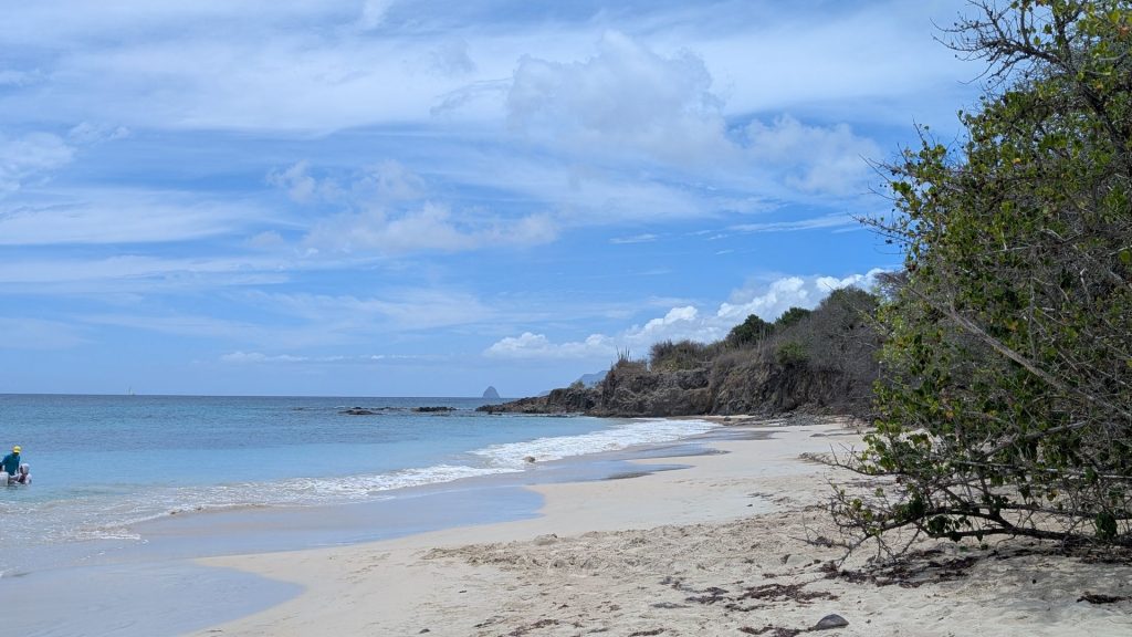
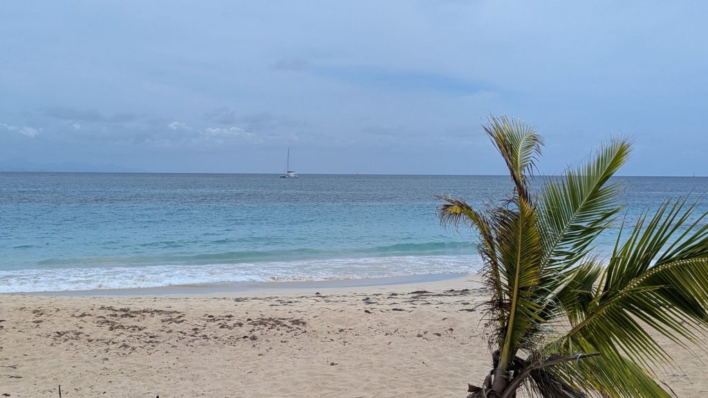
This (below) is Salines Beach. It is reportedly one of the best beaches on the island. It was huge!
Just a few more pictures – from the return trip. I think these were the only cacti I saw.

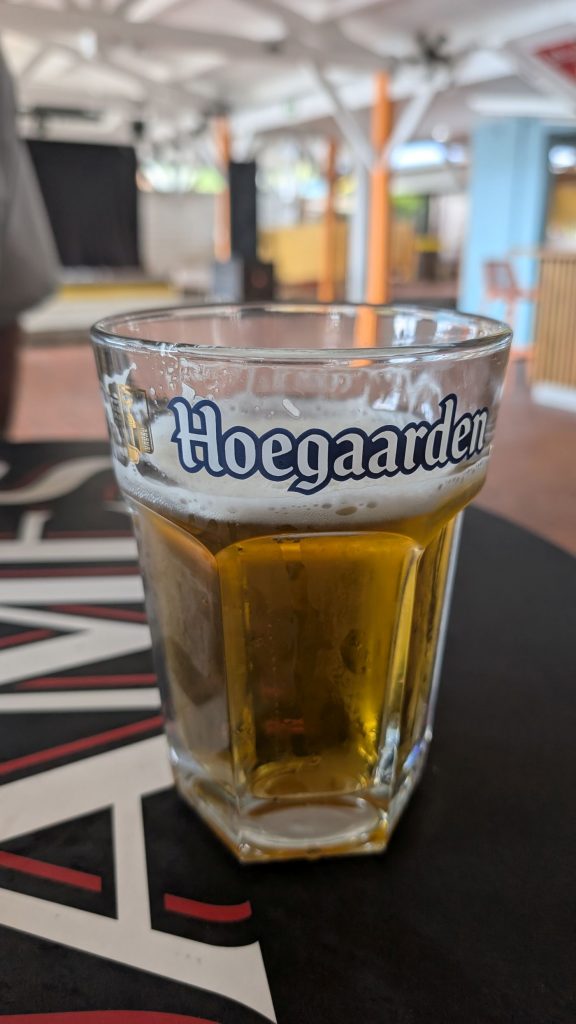
We weren’t hungry yet, but it was definitely time for a recovery beer. So we went back to the hotel restaurant for a cold one.
And that was the end of our four-day road trip. It was great!