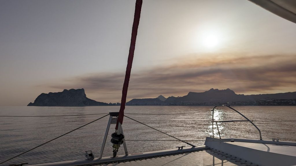
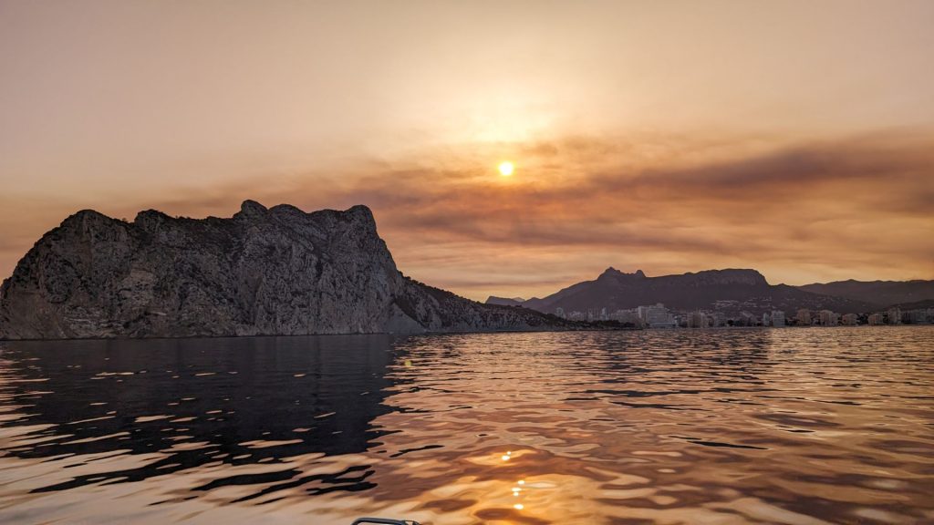
We left Valencia while it was still dark since we had 60 nm to go and wanted to arrive in daylight. We were sent off by a chorus of “Adios!” by a group of drunk guys in a nearby boat. 🙂 🙂
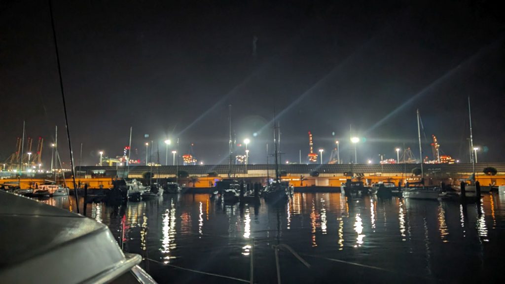
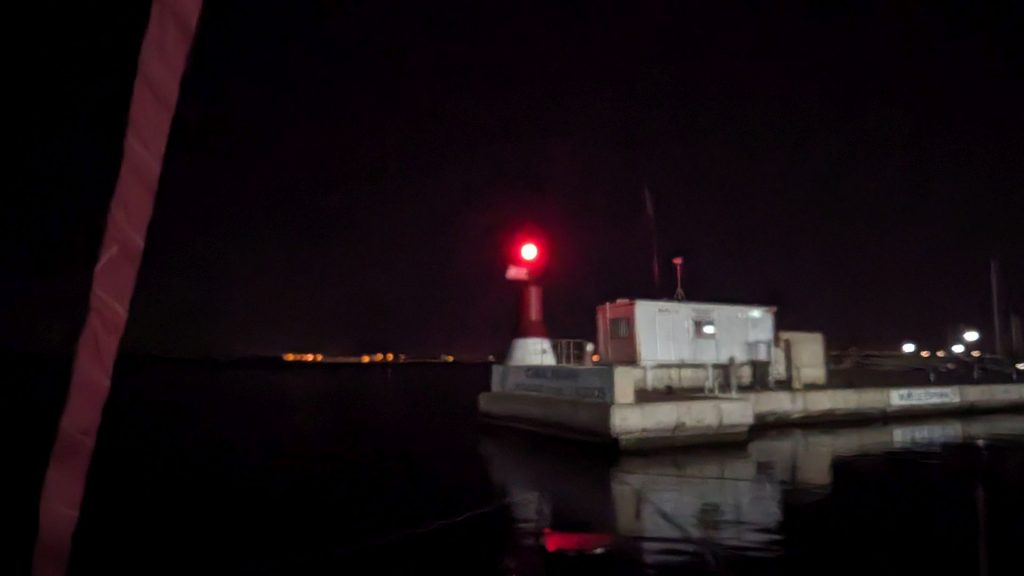
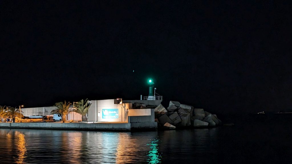
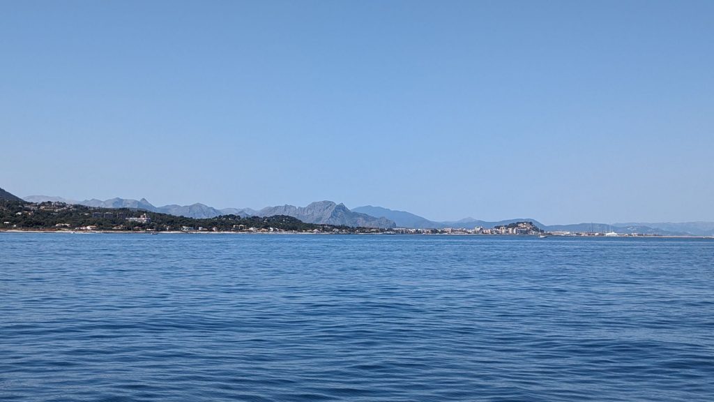
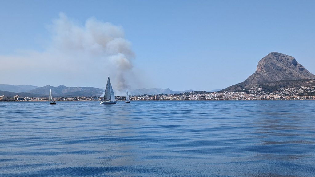
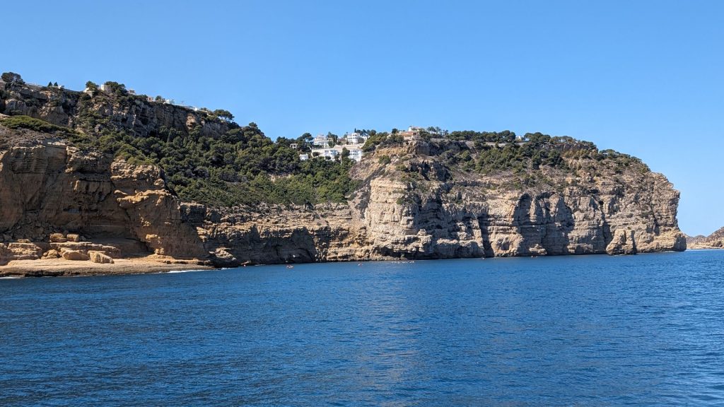
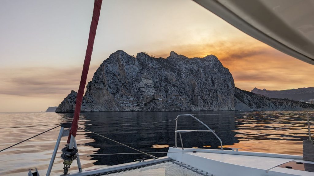
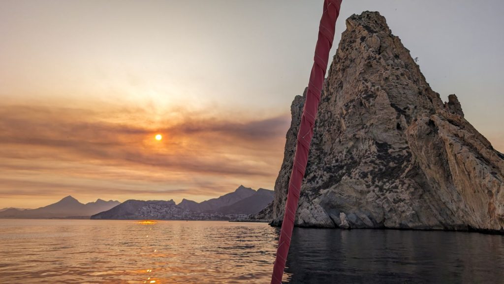
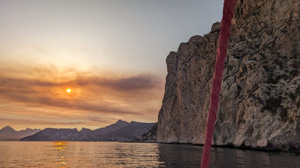
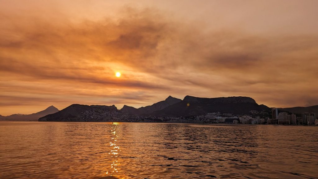
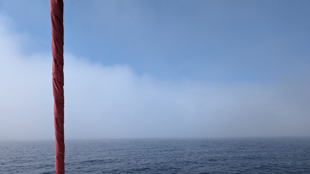
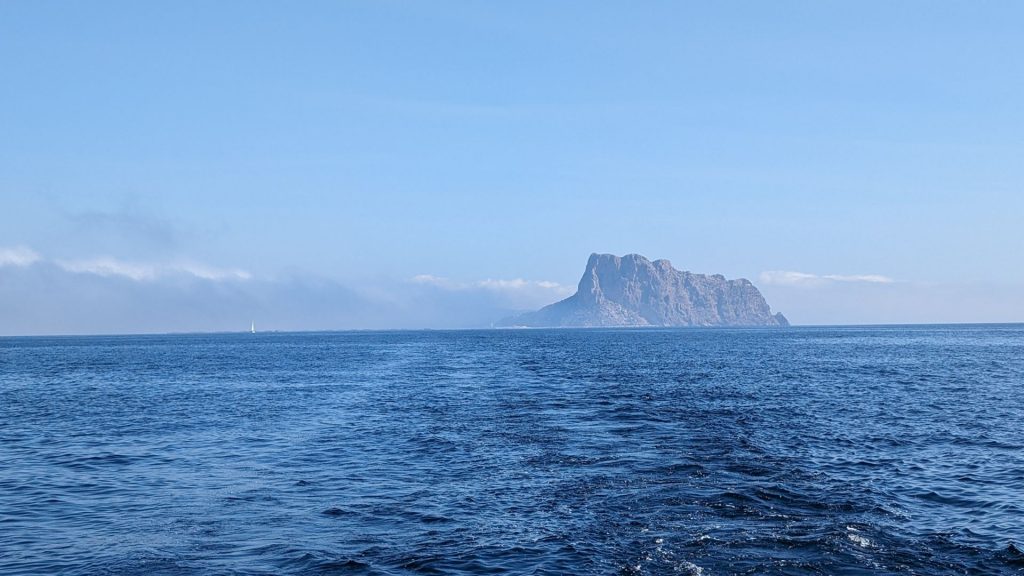
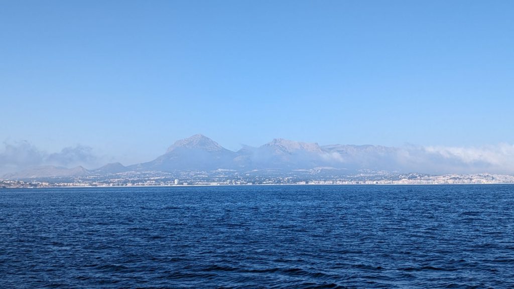
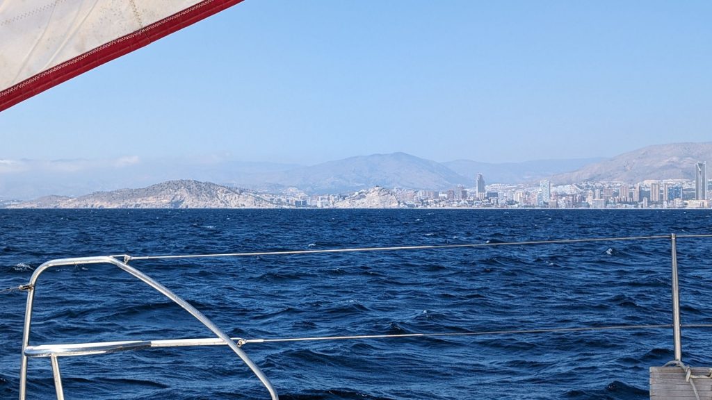
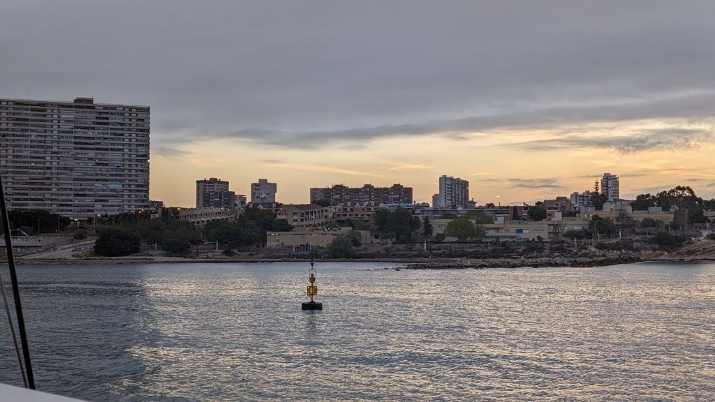
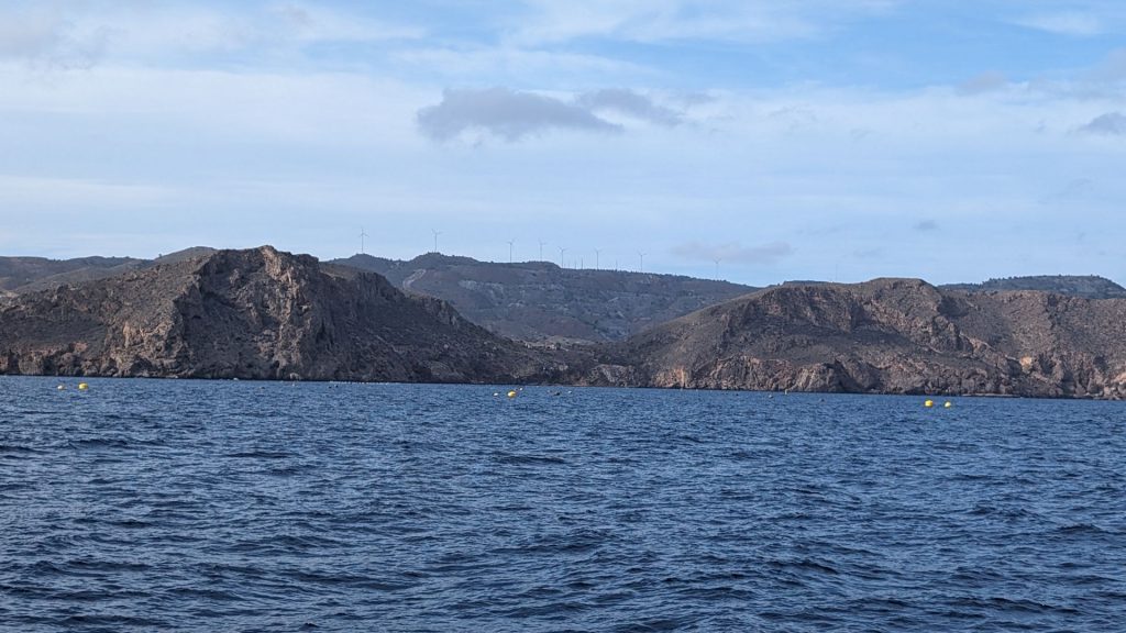
Here are some pictures of leaving Valencia (we don’t know what was on fire) and the coast of Spain on our way to Cap d’Or anchorage.
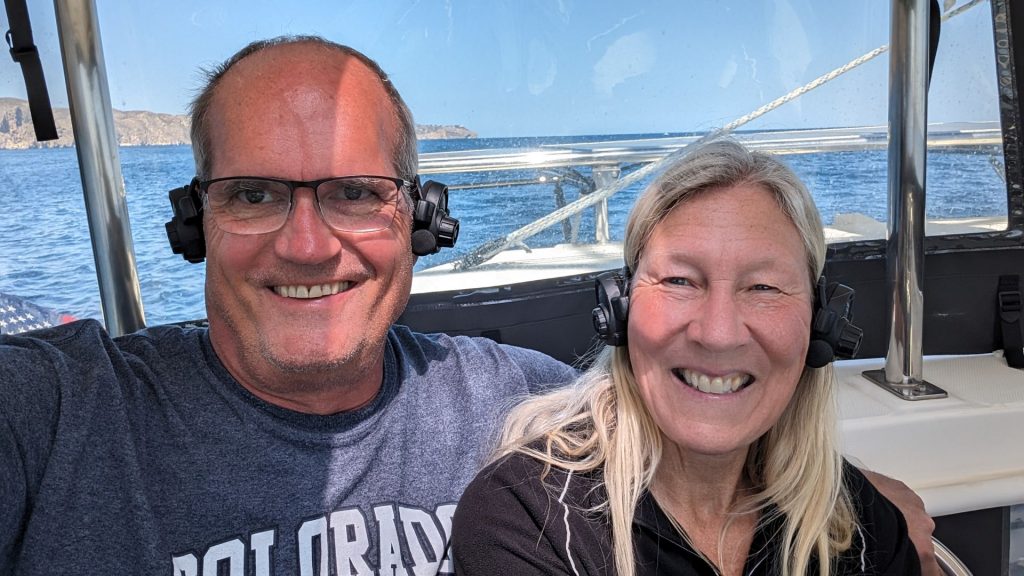
When we got close the anchorage we put on our trusty headphones. We use these when we anchor or dock so we can hear each other. It is hard to hear the other person when it is windy (or even when it’s not), especially when you are facing a different direction. Before we got these, we yelled really loud . . . and still couldn’t hear each other. We just sounded angry. 🙂 🙂 🙂 The headphones enable us to speak at a normal volume. The sound is crystal clear even when it is uber windy. I feel like a Borg, though. (This is where we separate the Star Trek fans from the rest of the readers.)
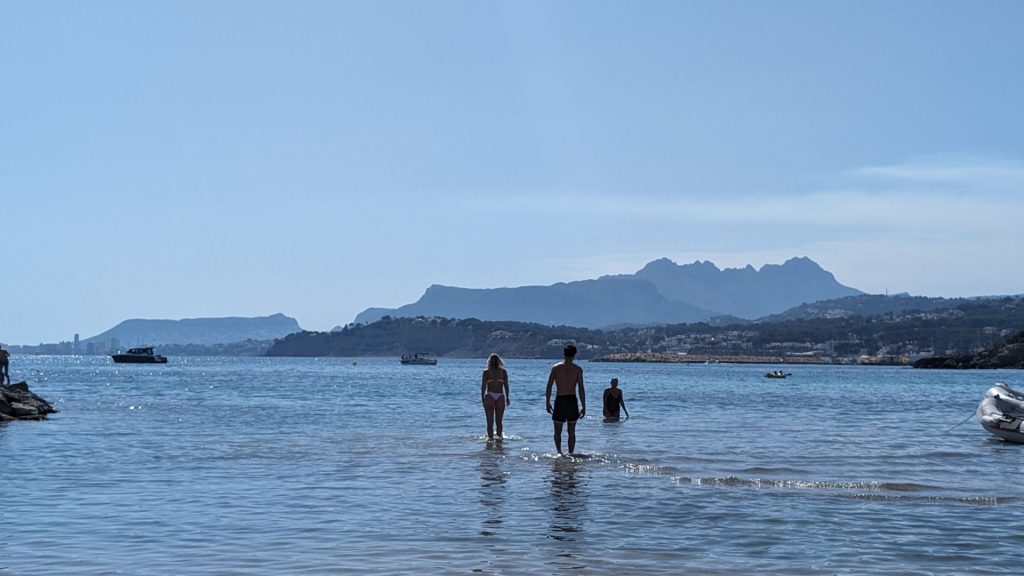
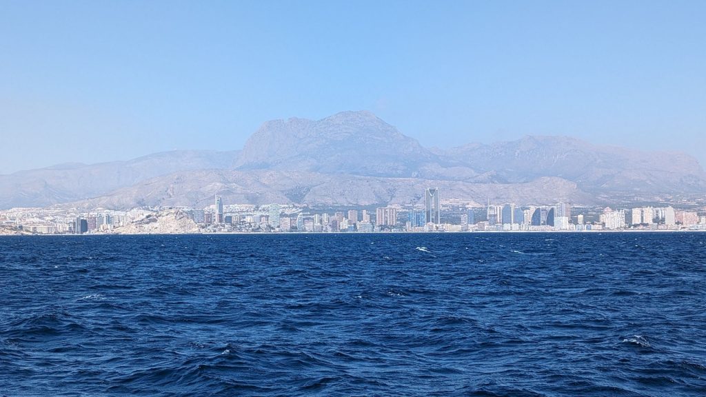
Approaching the anchorage:
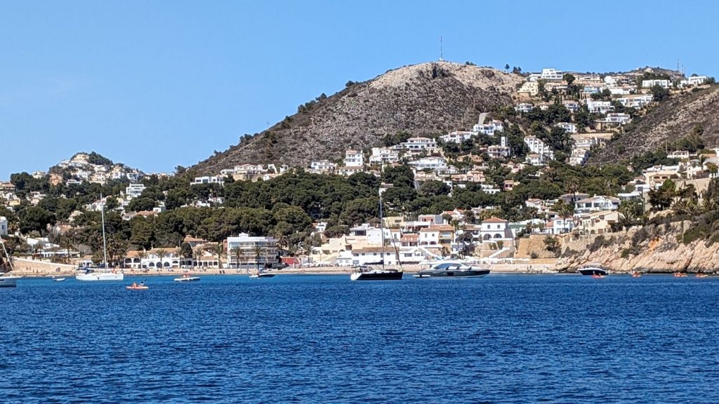
We arrived at about 3:45 p.m., which beat the expected ETA of 6:00 p.m.! As you can see, we arrived with plenty of daylight left. I should note that it is daylight savings time here (or whatever they call it in Europe).
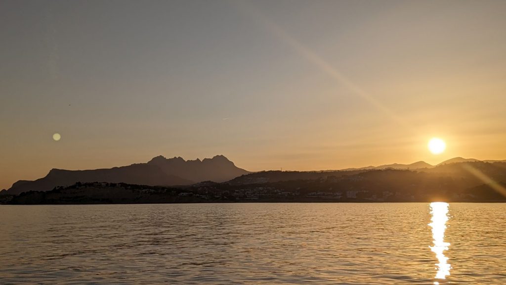
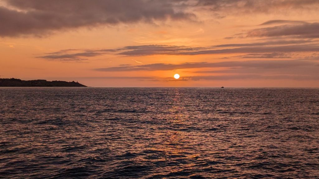
We anchored in 29 feet in a nice sandy bottom. We put out about 115 feet of rode then added the bridle. We stayed on Seahike that night. There was a beautiful sunset!
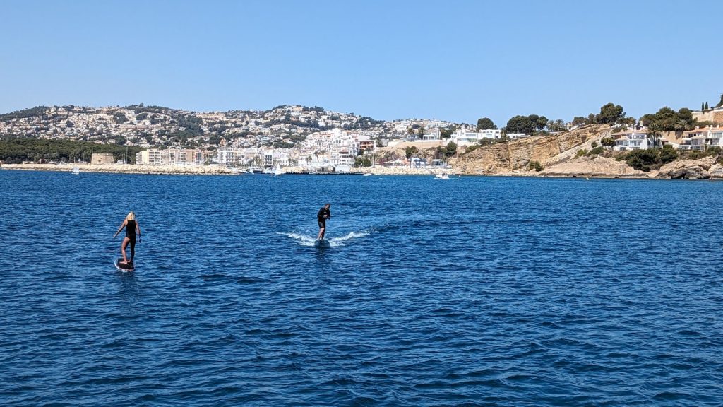
We took the dinghy ashore the next day. There is a nice beach at this anchorage and there were quite a few people there. We saw two people on hydroboards. I don’t know how to describe a hydroboard, so I am including pictures. The aim is to raise the board above the water and ride it like that.
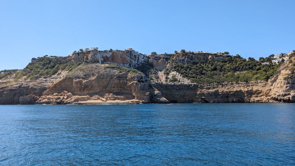
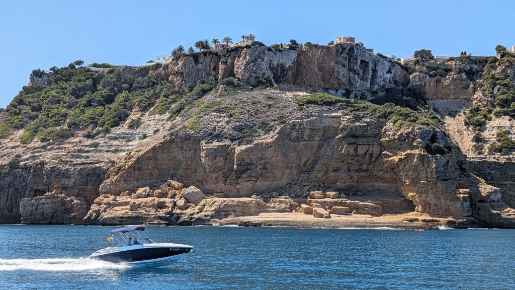
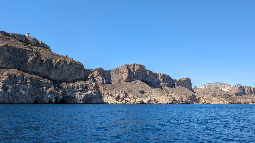
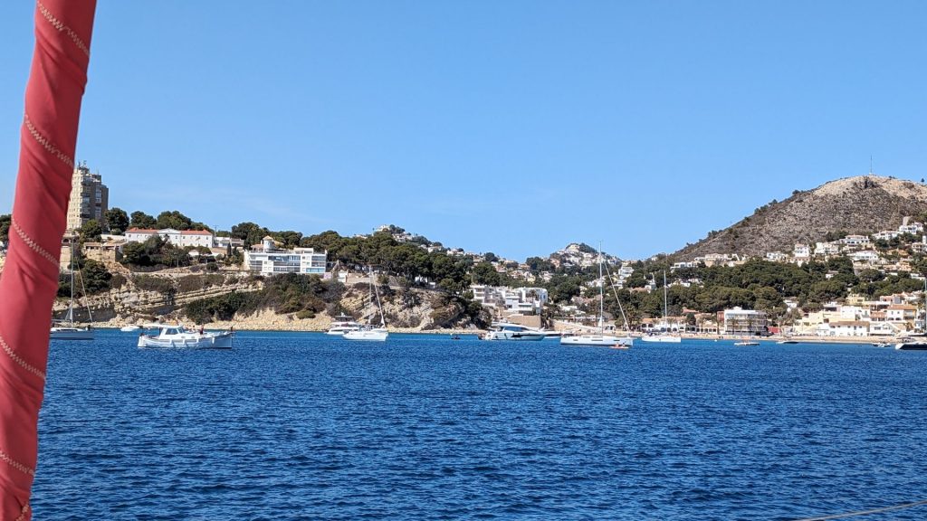
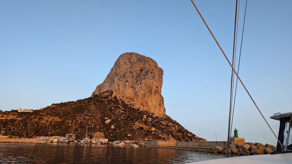
We had dinner on Seahike then moved to another anchorage – Calp – that was five nm away. Here are some pictures of our short journey and our new anchorage. We anchored in 13 feet of water in the sand.
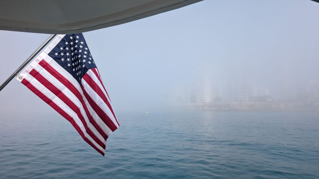
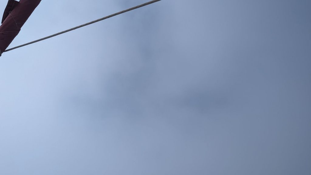
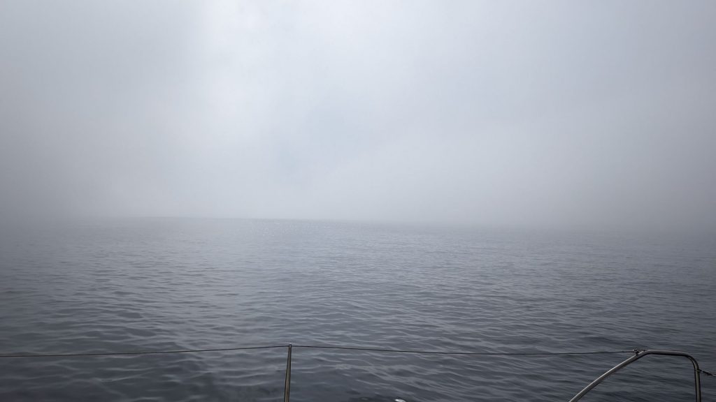
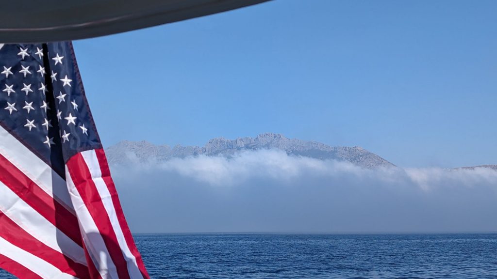
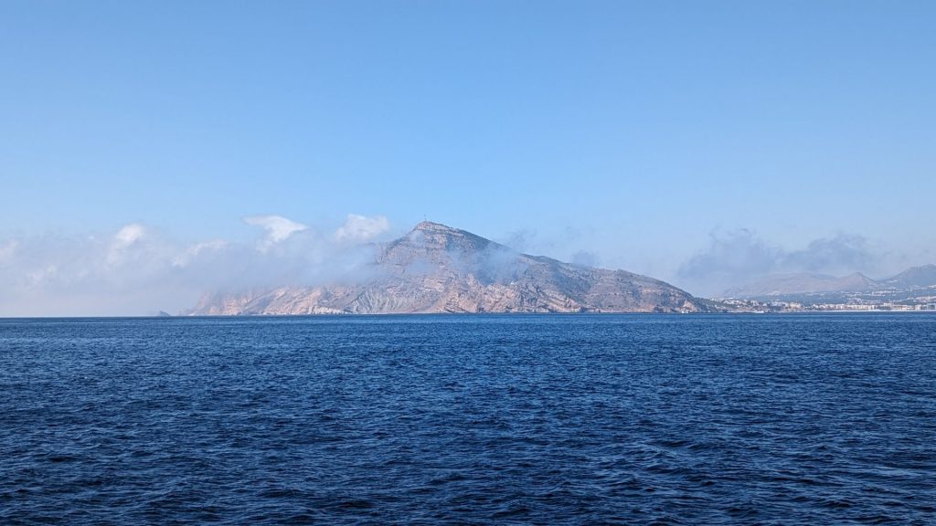
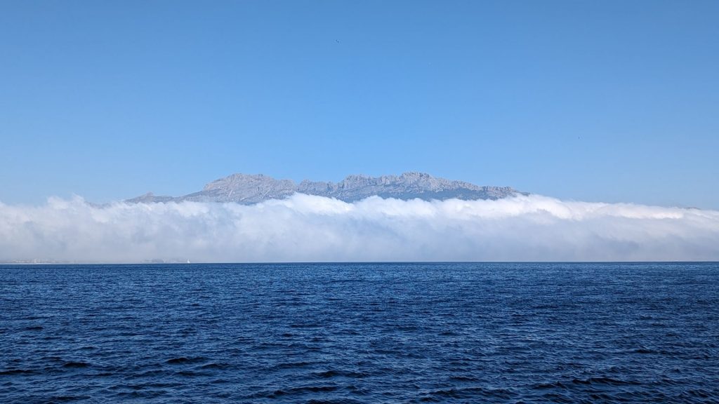
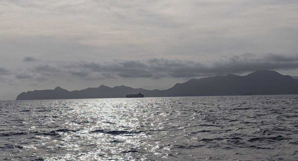
We sailed about 35 nm to Alicante on the 16th. But first, we had to get through some thick, low-lying clouds.
At first, we could make out a few buildings on the shore:
But within a minute or two it looked like this:
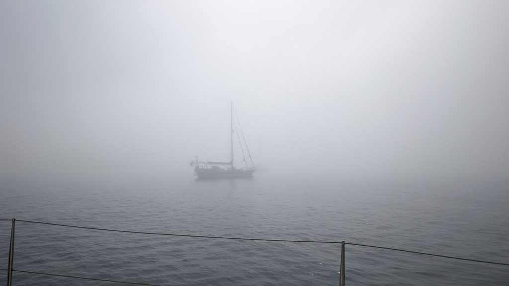
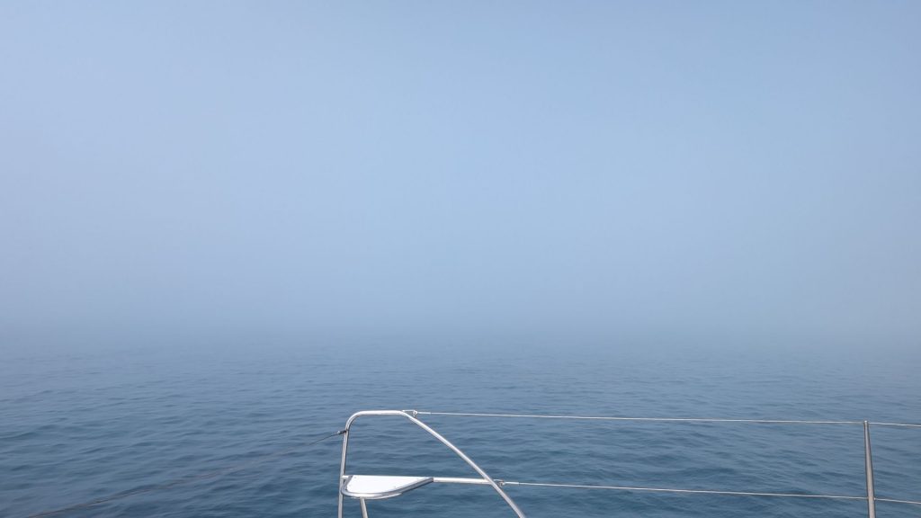
We took off, with me up front looking for obstacles. We thought it was clearing, but then. . . it wasn’t.
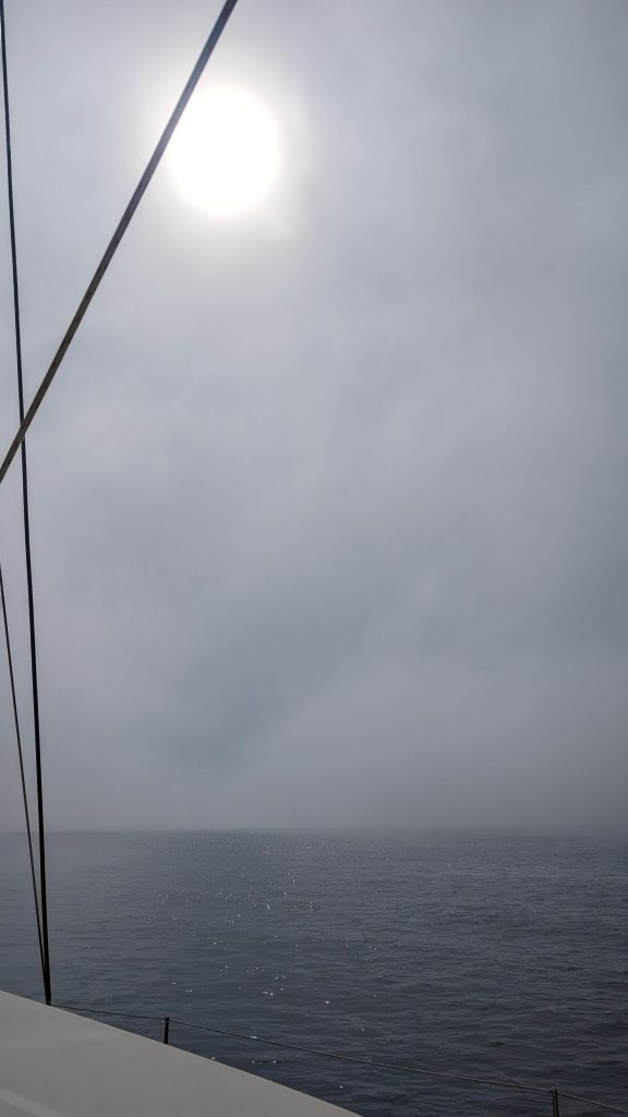
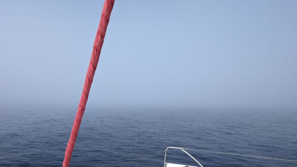
It cleared eventually, so we were able to look back and see that it was indeed a cloud we’d sailed through. (We’d wondered if it was smoke.) This made for fun pictures!
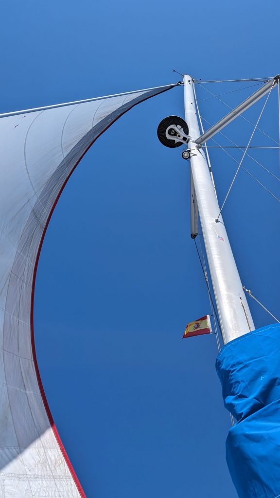
Oh joy! Oh rapture! We had good wind for sailing!
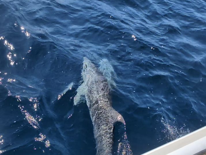
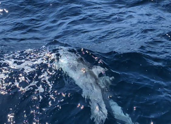
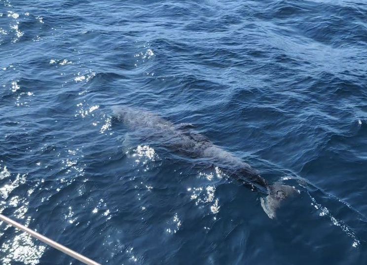
The best part of this trip is that we saw dolphins! You might think that we see dolphins a lot, but we don’t. It is always a treat when their fins alert us to their presence.
Here are the shots that might, sort of, maybe be worth sharing. These guys are fast!
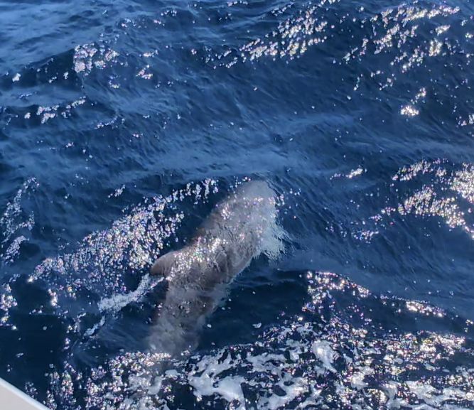
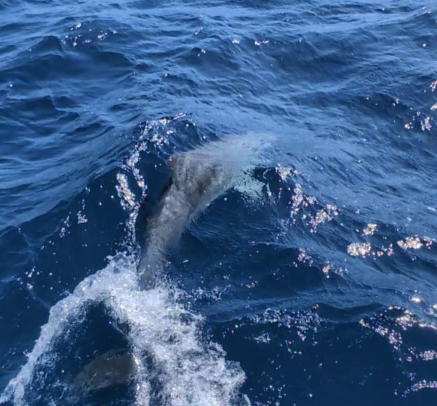
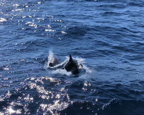
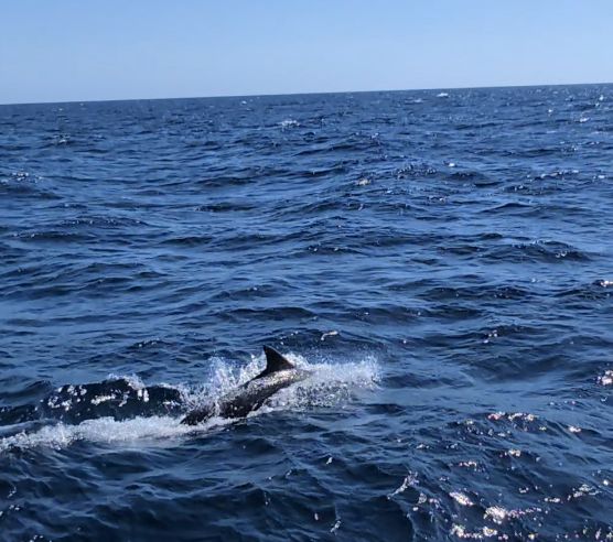
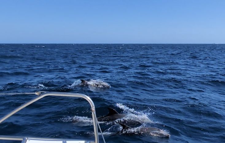
I hope you appreciate the small wake from the dolphin’s dorsal fin in the picture on the left below. Yeah, I planned that. 😉 😉
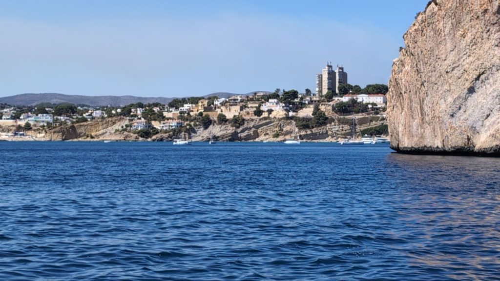
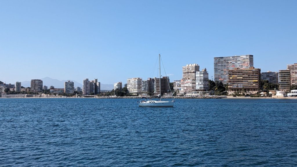
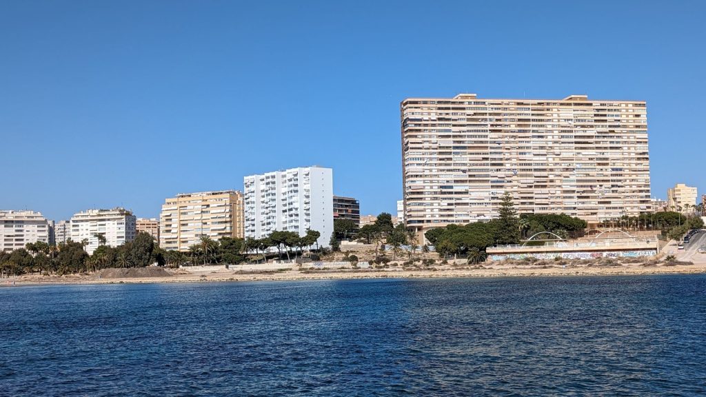
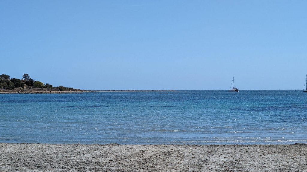
We anchored in Cala del Amor (Love Cove) in nine feet of water in sand. We put out more rode than usual and added the bridle because the wind was scheduled to pick up (only to about 20 kts, but still).
It felt like we were in a tourist area, what with all of the high rise buildings on the shore.
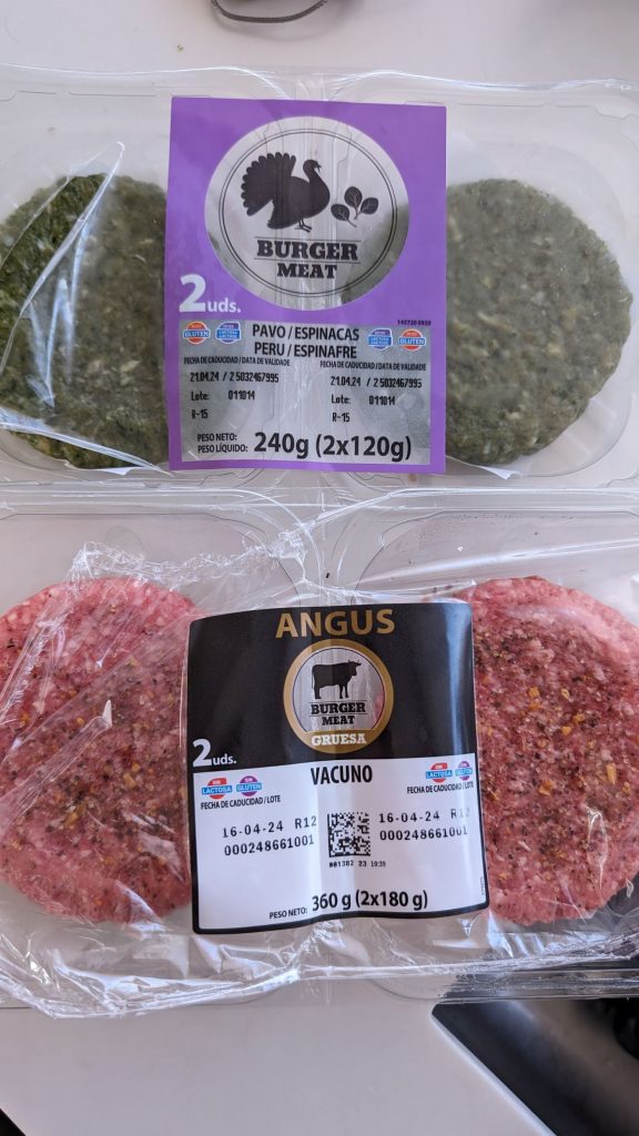
I had turkey burgers and Michael had beef burgers for dinner that night. I am not sure why mine were green . . .
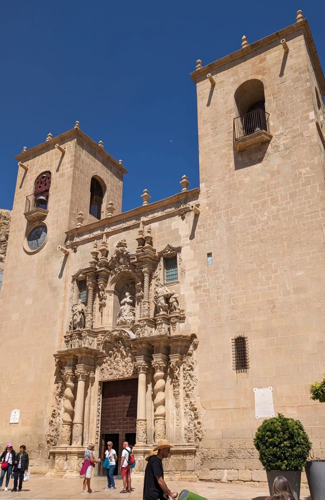
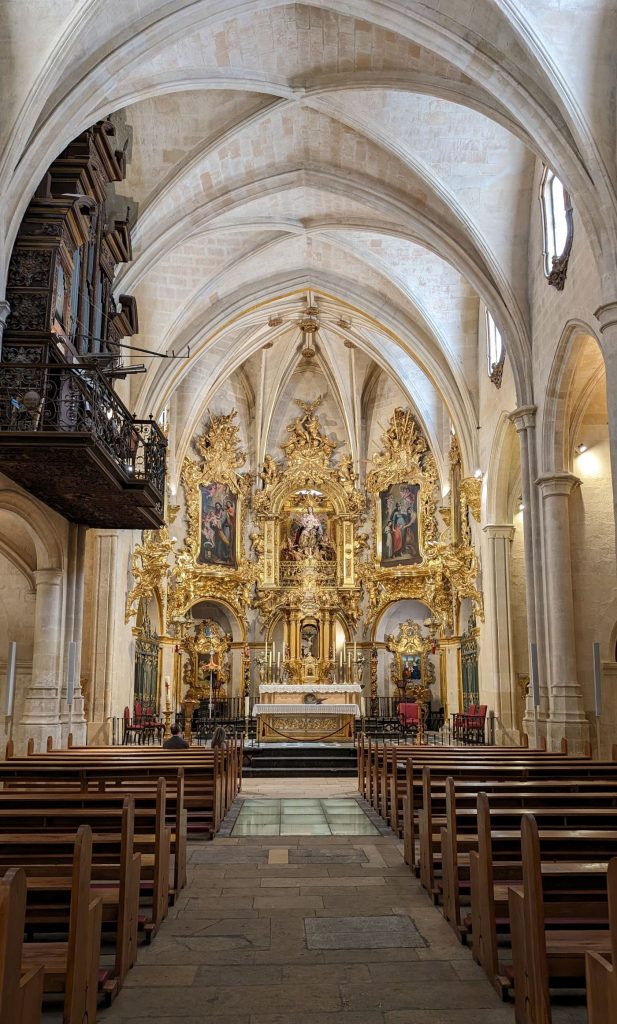
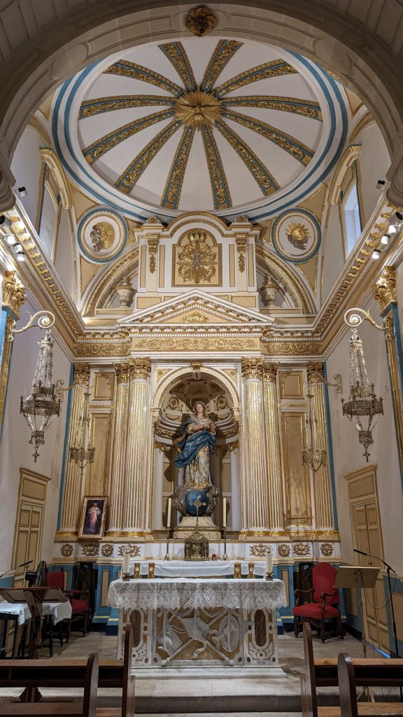
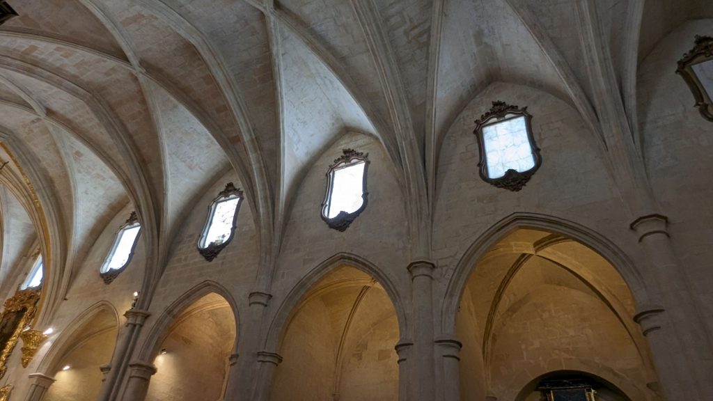
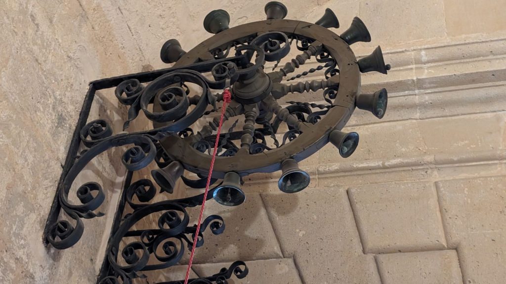
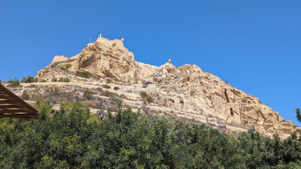
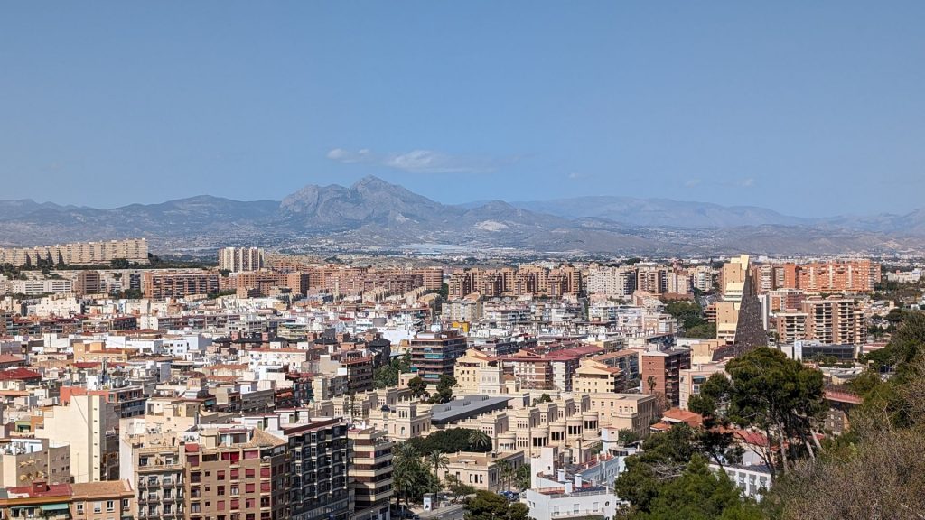
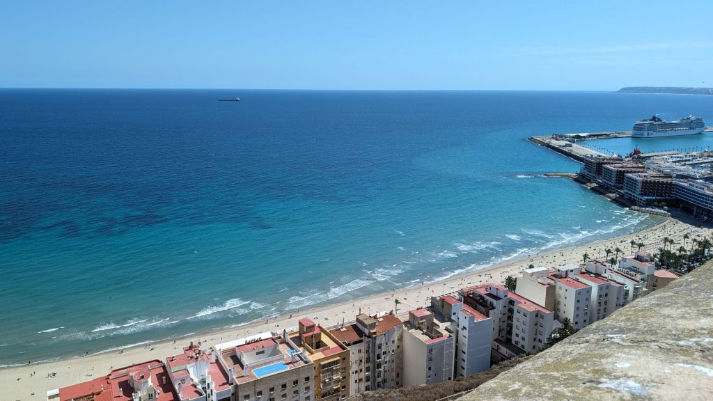
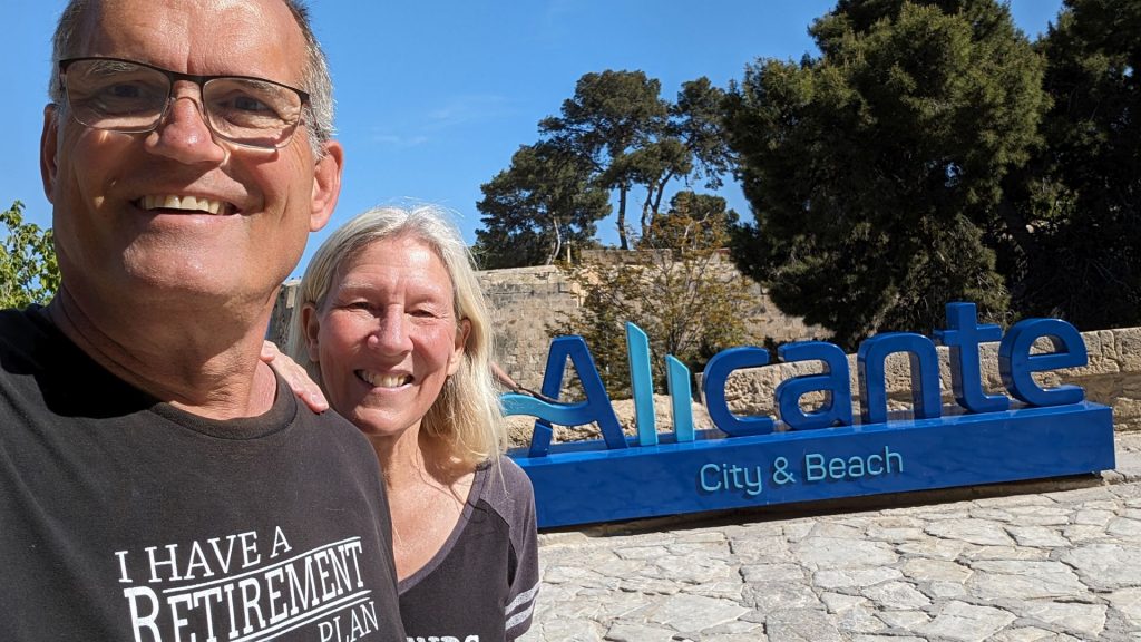
We took the dinghy to the marina the next day and asked for permission to dock it. We ended up only visiting the Santa Barbara Castle and the Basilica of St. Mary of Alicante. The issue was timing. It was fine, though!
The Basilica of Santa Maria is the oldest still-active church in Alicante. It was built in Valencian Gothic style between the 14th and 16th centuries over the remains of a mosque. (The Valencian Gothic architectural style occurred under the Kingdom of Valencia between the 13th and 15th centuries, which places it at the end of the European Gothic period and at the beginning of the Renaissance.)
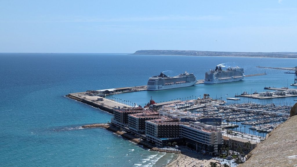
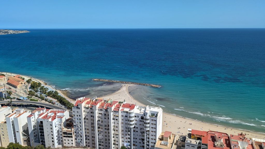
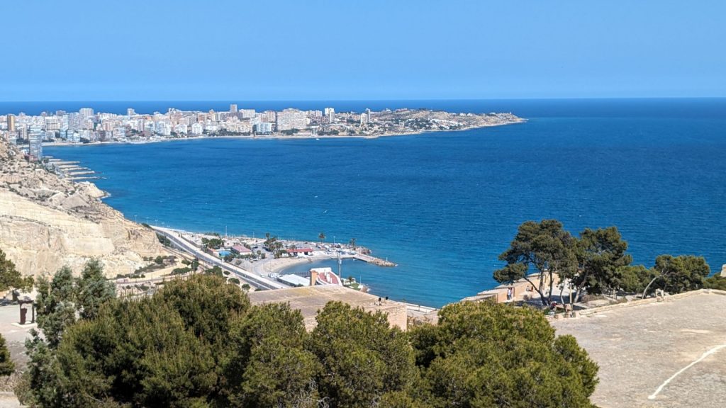
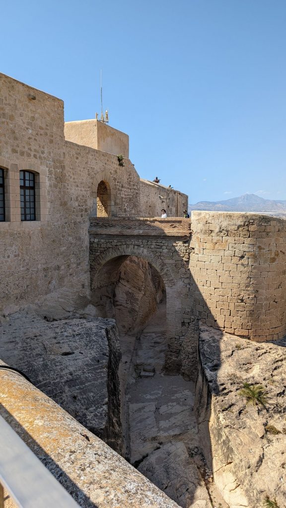
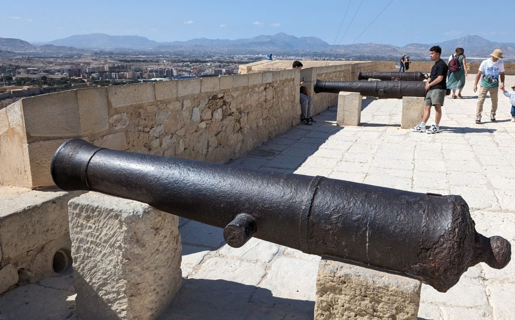
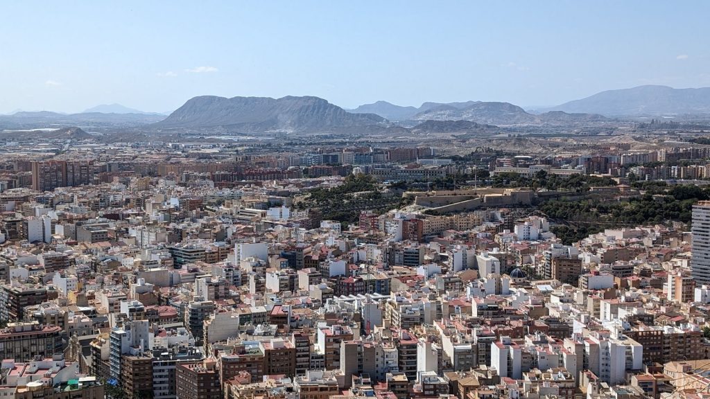
The Santa Barbara Castle stands on Mount Benacantil (166 m) bordering the sea. From it you can see the entire bay of Alicante and its land surroundings. Hewn from millenary stone, this fortress has witnessed centuries of history in this ancient city.
The origins of the castle date to the 9th century at the time of Muslim control of the Iberian Peninsula, from 711 till 1296. On December 4, 1248, the castle was captured by Castilian forces led by Alfonso of Castile. It was named after Saint Barbara, on whose feast day the castle was recaptured from the Arabs. It was conquered by the Aragonese in 1296 during the reign of James II of Aragon, who ordered its reconstruction. Peter IV of Aragon, Charles I of Spain and Philip II of Spain later oversaw further reconstructions.
The castle was bombarded in 1691 by a French squadron. During the War of the Spanish Succession, it was held by the British for three years. In 1873, it was bombarded, along with the city, by the cantonalistas from the frigate Numancia.
From the 18th century the military role of the castle declined and it was used sometimes as a prison. From April 1939, with the end of the Spanish Civil War, it was used as a Francoist concentration camp for Republican prisoners until the end of that year. The castle remained abandoned until 1963, when it was opened to the public.
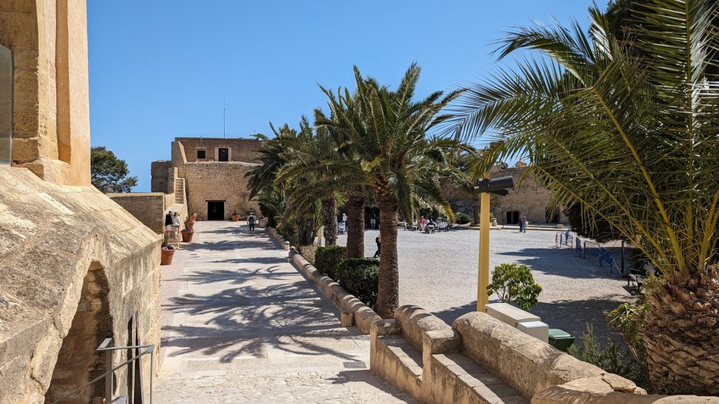
Time to share some pictures of and from the castle!

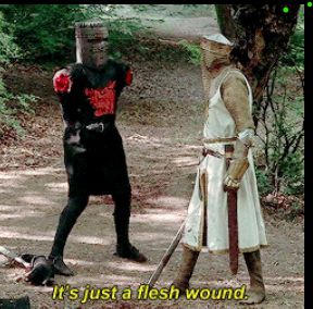
Do these guys (pictured below) remind you of anything/anyone?
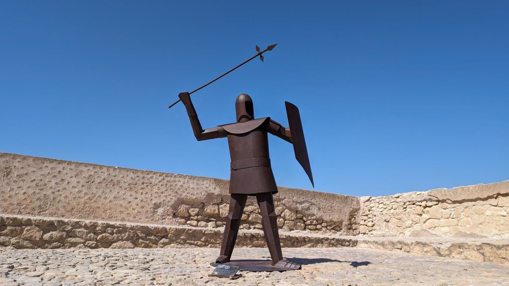
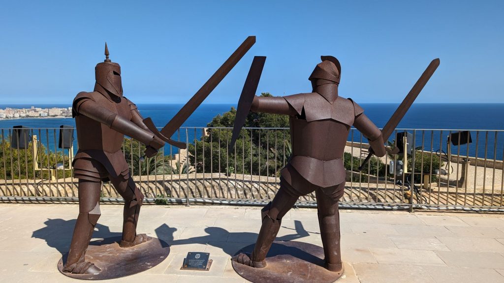
I ask because my mind immediately went here (this is where we separate the Monty Python fans from the rest of the readers):
Back to the pictures.
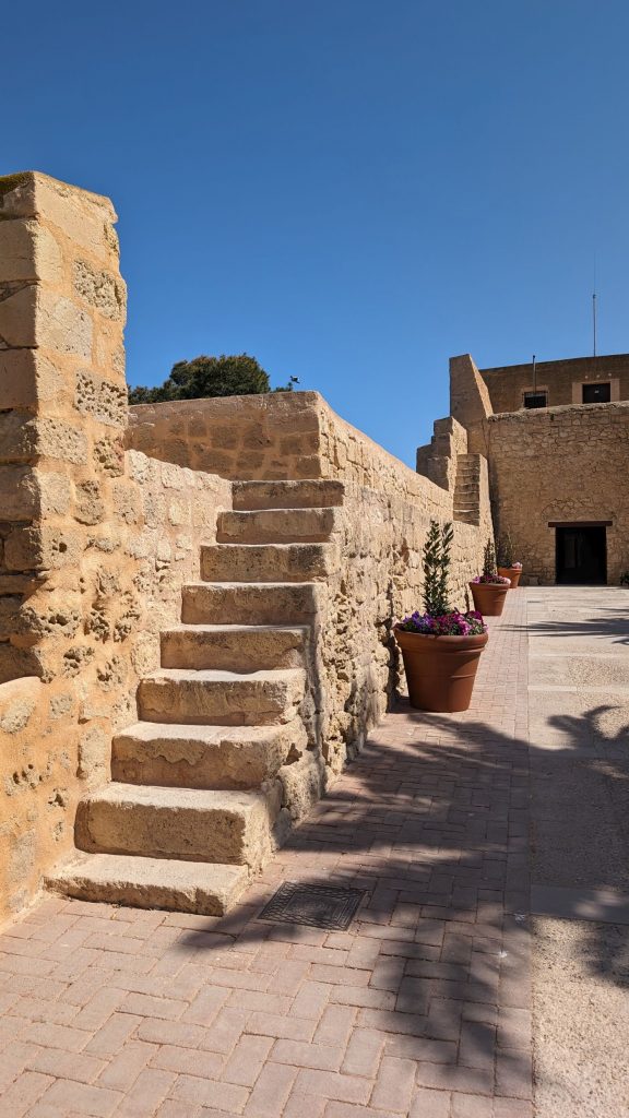
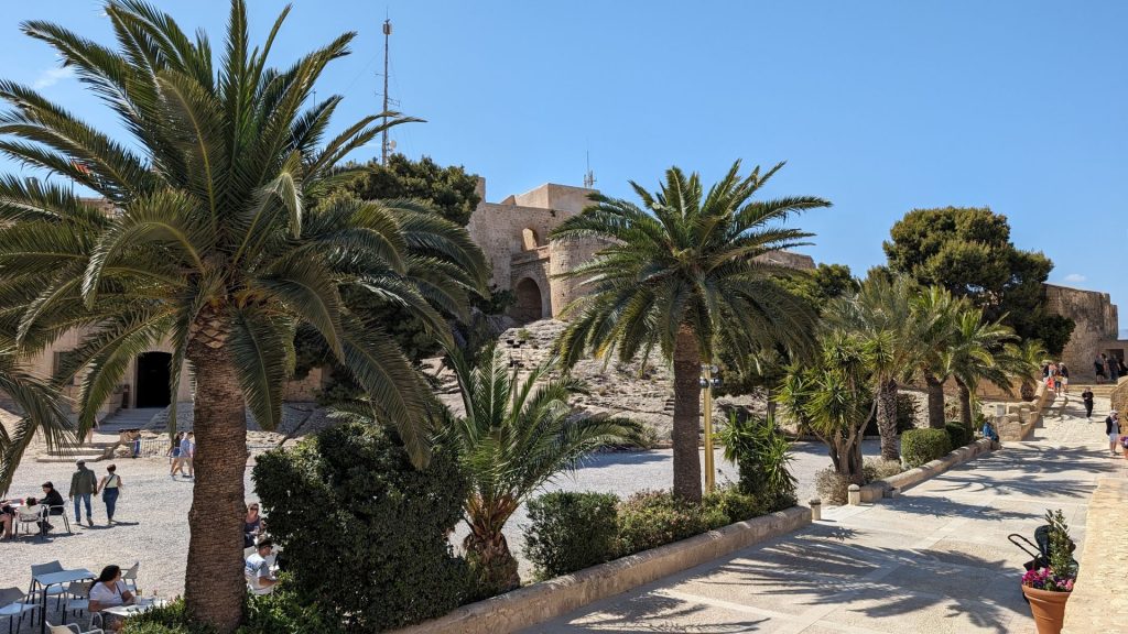
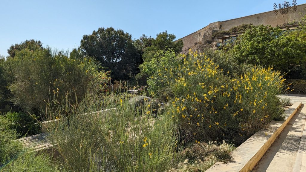
The following pictures are from part of the walk to/from the castle. There were many pretty gardens. So much greenery, too! It was lovely and peaceful.

We left for Cartagena on the 18th. We went there to have Seahike hauled out. I hope we would have gone here regardless. After all, Cartagena, with more than 3,000 years of history, has been the scene of some of the most outstanding passages throughout time. As I write this (April 29th), we have only scratched the surface of the town. We know we are going to be here for a while, so we are taking it slow.
Seahike is still in the water. We were initially scheduled to have her hauled out on the 25th, but that didn’t happen. Several have worked on her already, though.
They’ve completed the following:
— Added our MMSI number to the VHF radio
— Fixed the AIS alarm that went off when it shouldn’t have (turns out wires were crossed)
— Checked the compression on the starboard motor (it is fine)
— Checked the injectors on the starboard motor (they are fine)
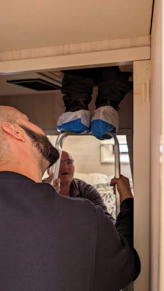
— Fixed the electric winch motor (it had just stopped working). The motor is located high above the ceiling in the aft starboard cabin. We’d tried to work on it ourselves, but Michael couldn’t fit up the small opening to reach the motor (big skeleton, not fat) and the ladder we had was too short for me to reach it (even after putting a bucket on the top step).
NOTE: I felt better when the guys working on our winch motor had to do this (see below) to raise the guy high enough to reach the motor. It confirmed that we would never have been able to do this ourselves. For one thing their ladder is taller than ours. And look how high up on their ladder this guy is! He’s not even stepping on a step, but on the tip top of the ladder. This is not safe. Do not try this at home!
In process:
— Working on the injection fuel pump for the starboard engine (if it isn’t working properly it would explain the shaking of the starboard engine)
— Waiting for the Plexiglass that will be used to create then install two new front windows
Yet to be done:
— Install two new front windows that cracked when Seahike was on the hard in Tunisia (to be done when Seahike is on the hard)
— Install a new forward port cabin window that we’d ordered and have had on Seahike for some time
— Drain the oil from the sail drive
— If they determine that there is water in the gear oil, change the seals when Seahike is on the hard
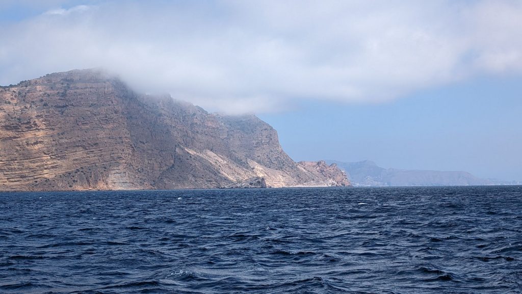
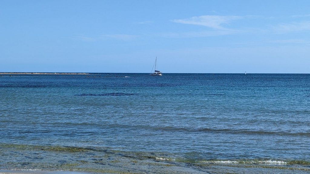
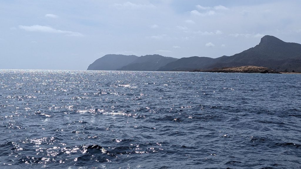
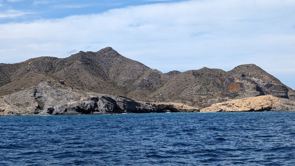
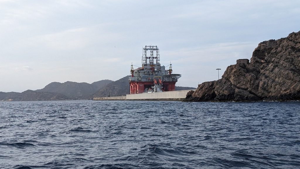
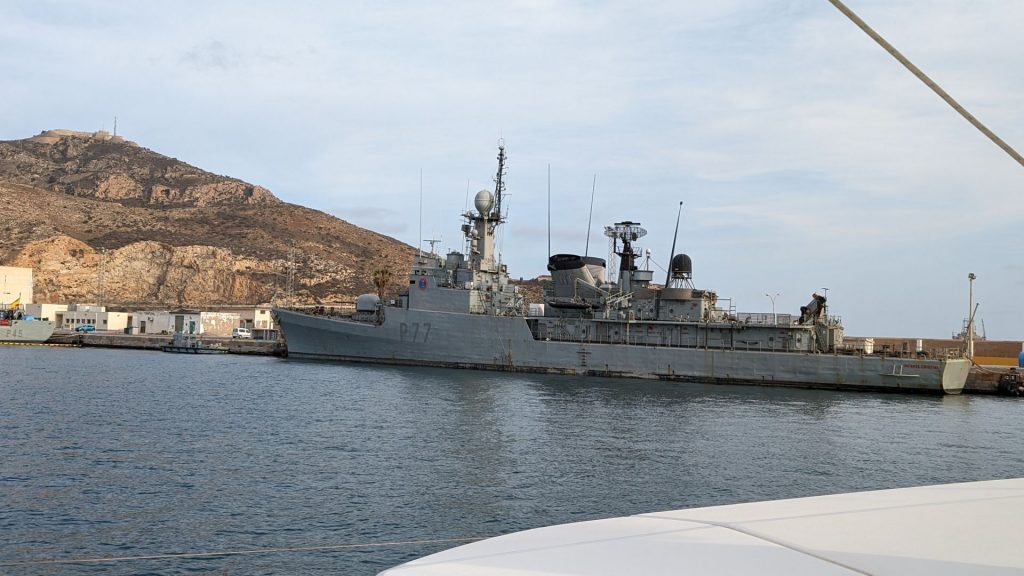
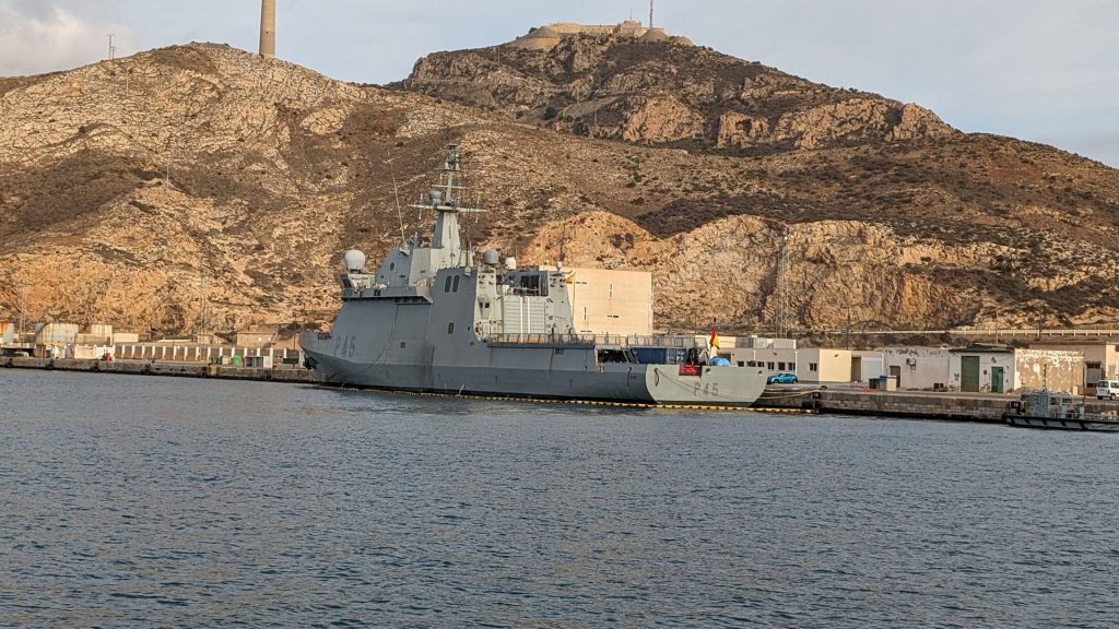
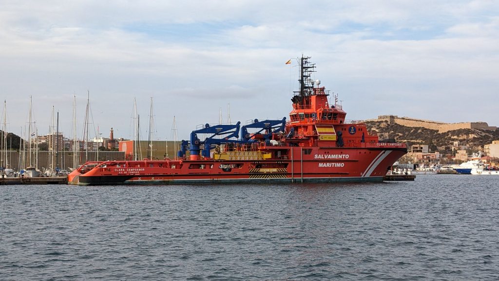
Here are some pictures of our voyage to Cartagena, including our first views outside of the marina.
We didn’t do anything of interest the first few days. On the third day, we had a big visitor!! And yes, it was this close to us!
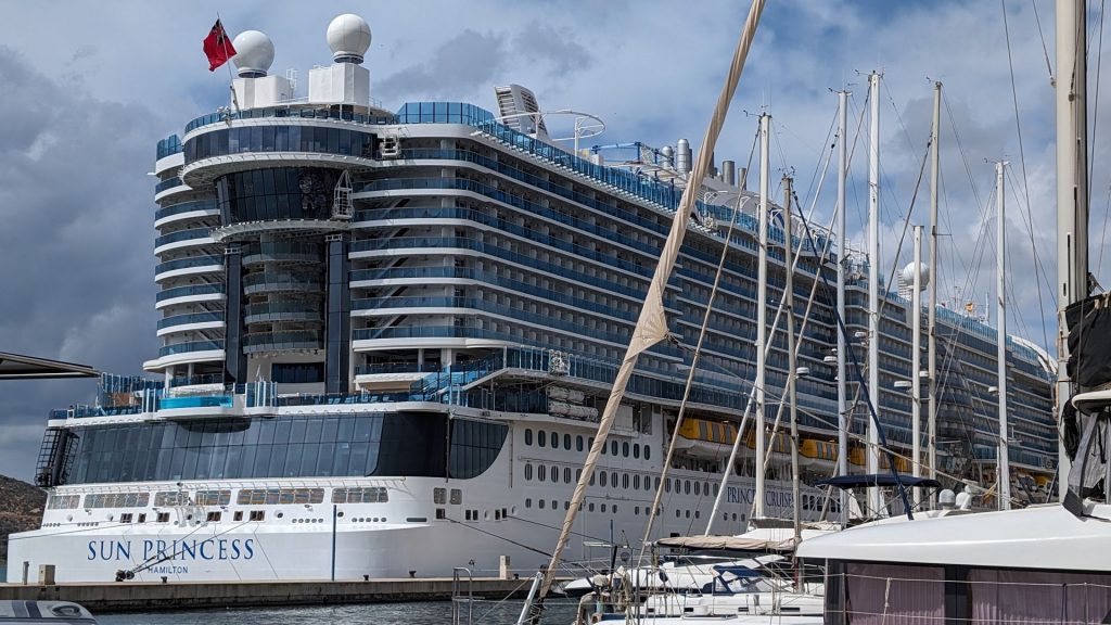
They played the “Love Boat” theme on the cruise ship’s horn a couple of times. They didn’t play the entire thing, but enough to know what it was. Of course that meant that the song was stuck in my head for days!
April 23rd was my epic fail day! 🙂 🙂 I had a good time.
Michael stayed on Seahike to deal with the various workers, so I set out to do some sightseeing. Here’s what happened.
The first place I went to was the Naval Museum. It was closed. Then I went to a palace. It was closed. Then I went to the ancient Roman Amphitheater, but Google maps took me to a location that didn’t provide a good view of the amphitheater. I could not find the entrance.
Those were my three epic fails.
Let me quickly point out that this was 100 percent my fault. I did not check open times before I left Seahike.
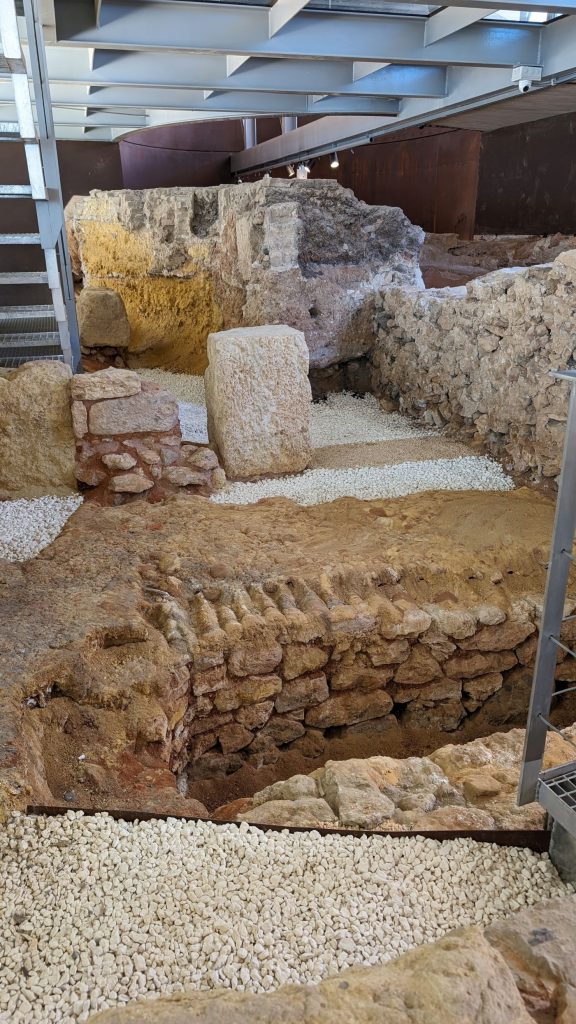
I decided to walk to the Punic Wall (you gotta watch how you spell that). It seemed like a good idea to see something that was actually open.
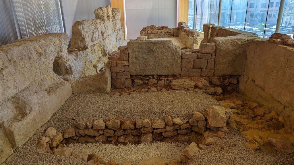
The remains of the Punic Wall of Cartagena date back to the 3rd century BCE. They are one of the few defensive constructions whose remains have managed to survive until today. The walls protected the city from the Romans during the Second Punic War (218-201 BCE). Finally, however, in 209 BCE Scipio Africanus captured the city.
The wall follows the Greek model of fortifications with casemates and is composed of two parallel walls about 10 meters in height. It was divided into three levels, the first two including casemates and the top one with a chemin de ronde, or wall-walk. Blocks of local sandstone were used for the outer wall, and sandstone and adobe for the inner one. The whole structure would have been plastered with white stucco to protect it from the weather and give it a more impressive appearance. Between the two walls were the casemates, or inner rooms, which were used to house troops and to store supplies (even horses!) and weapons. It can be supposed that the roof was made of mud and vegetation and was supported by thick wooden beams. The remains found are 30 meters long, and at some points rows of stone blocks with a height of about three meters have survived.
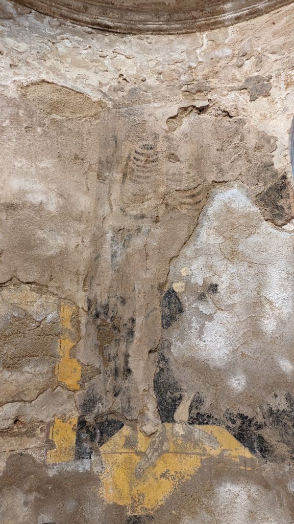
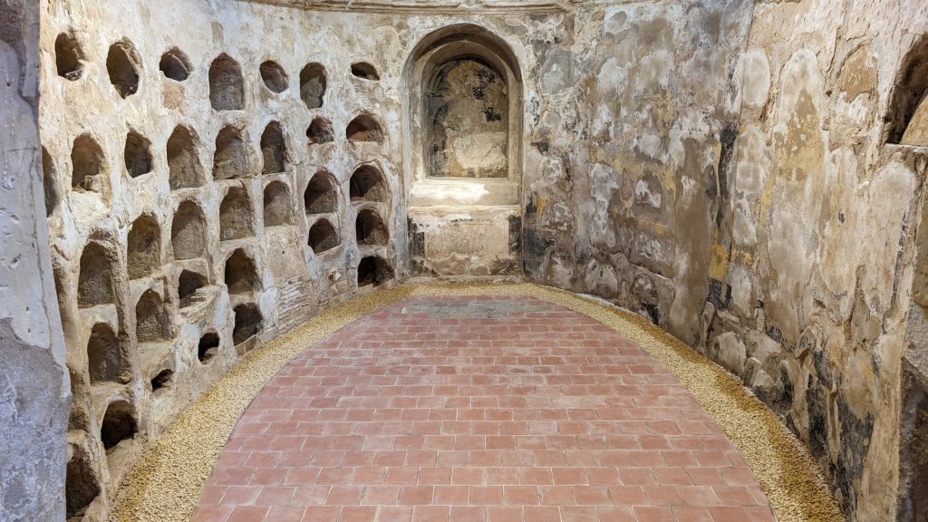
During the excavation of the Carthaginian walls a burial crypt belonging to the small church of San José was also found, a burial area which was reserved for members of the Brotherhood of San José. It is elliptical in shape with a niche as an altar for the picture of the patron saint at one end and an access stairway at the other and was probably covered by a vaulted ceiling. 110 burial niches are distributed along the two side walls. The corpses were deposited in wooden coffins and with funerary offerings such as medals of saints, rings and other jewelry.
The pictorial decoration suggests that the niches were used several times. On the first occasion black lines framed the opening and the niches were numbered for identification of the burial, and in the second phase paintings were added of the Dances of Death: skeletons dancing on sarcophagi and symbols of religious, political and social power, in a clear reference to the triumph of death without distinction of classes.
The Punic Wall and the crypt of San José were discovered during the construction of a car park in 1987.
I kept walking until I reached 10,000 steps then went back to Seahike. We had salmon and rice for dinner.
It was a good day.
Whew, that is a lot of info! This is a good time to stop for the day.