The last time we wrote, neither of us had a broken bone.
But I digress, let’s talk about what happened before that. We left Kaş for Göcek on April 17. We chose Göcek because one of the marinas there had the charts of Europe that we needed for our chart plotter.
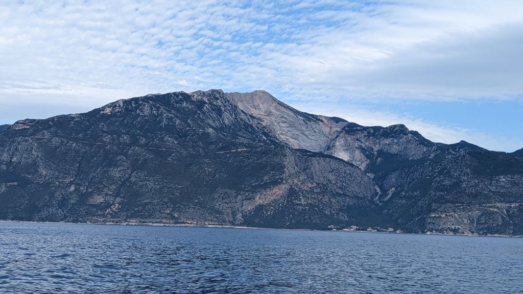
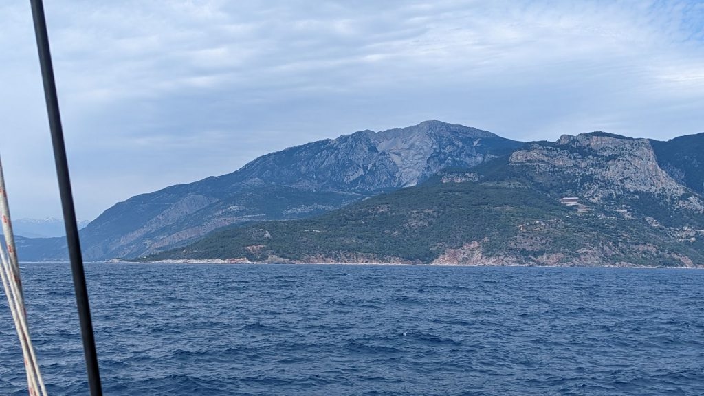
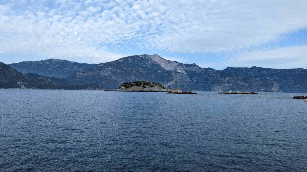
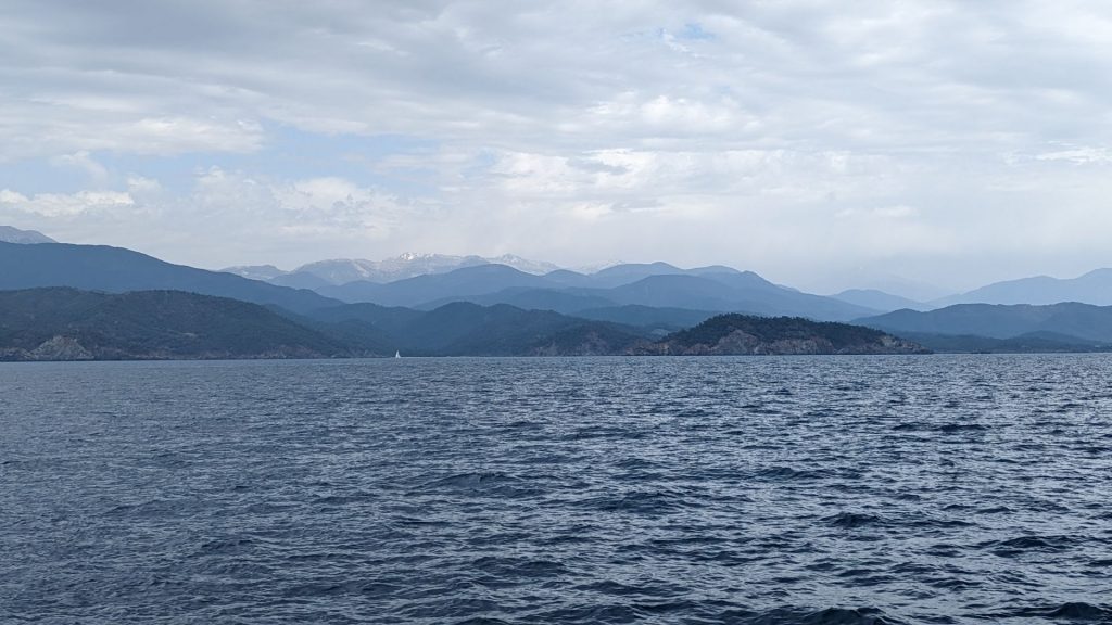
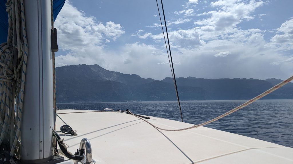
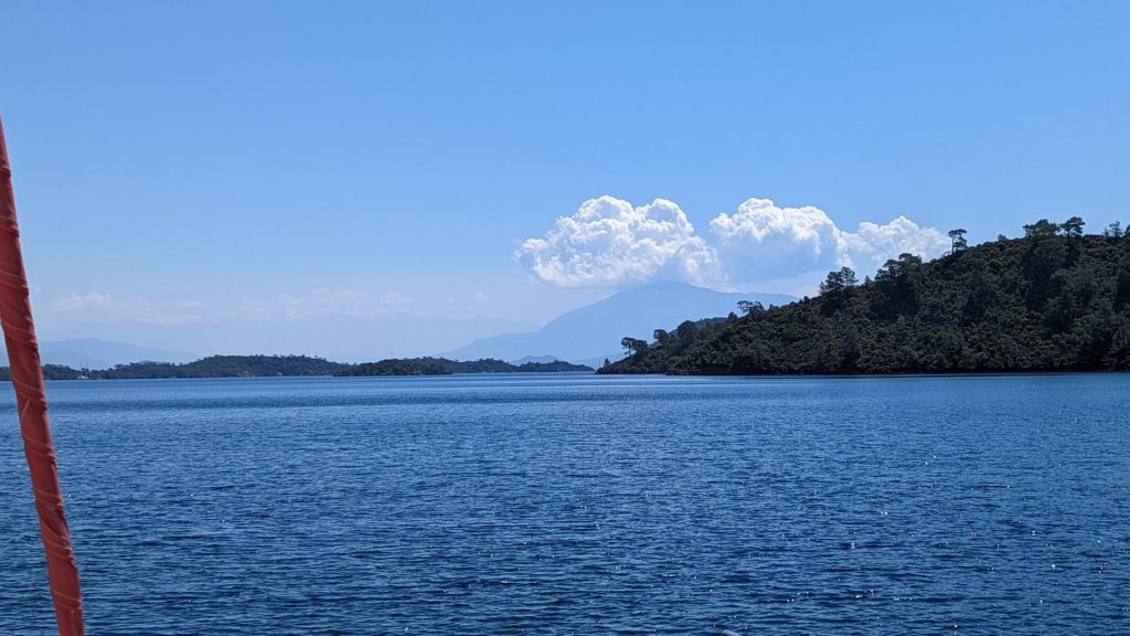
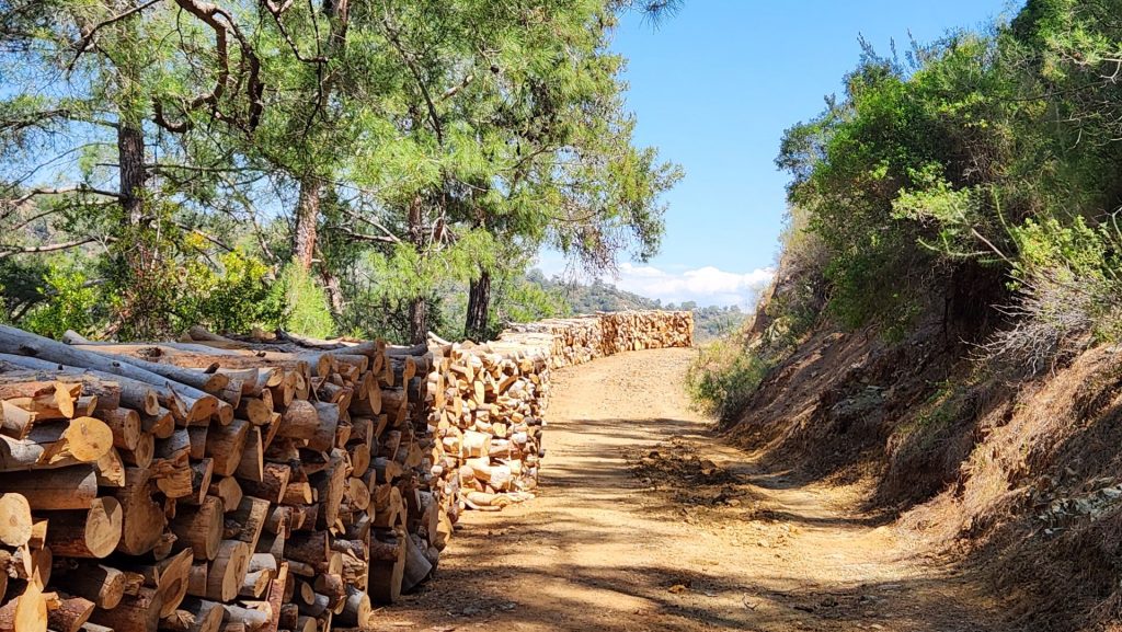
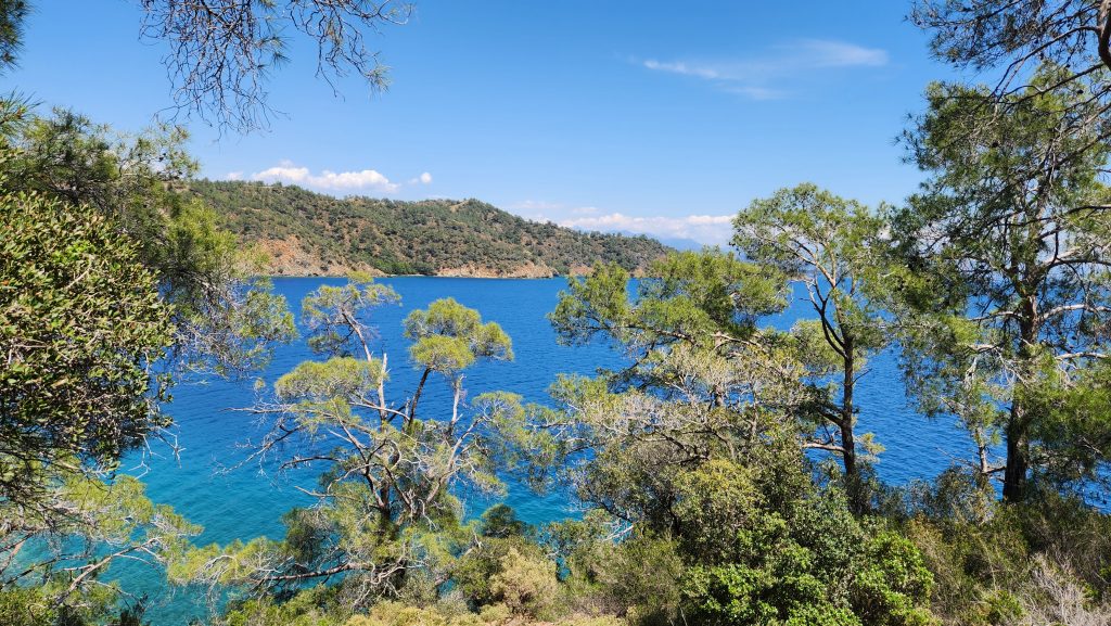
We spent the first night on the way to Göcek near Gemiler Island. We’d had to pump out our black water and get diesel in Kaş so we didn’t get an early start and wanted to travel fewer nm that day as a result. Gemiler Island was the perfect distance. It was a very picturesque trip. We saw the mountain I’d walked off of into the air the previous day, among several other beautiful views of the shoreline.
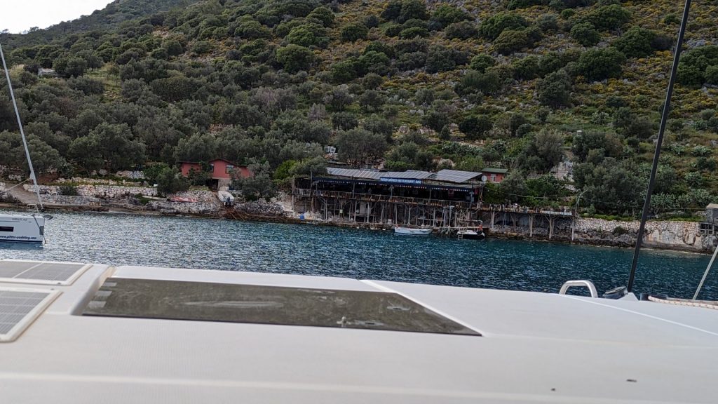
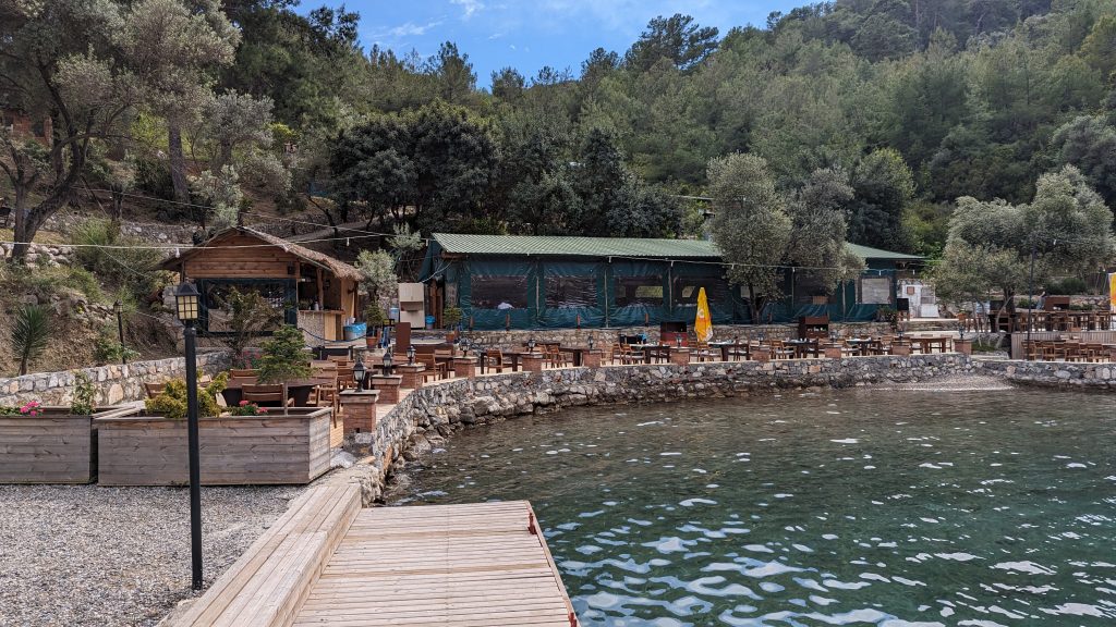
We picked up a mooring ball at no charge. . . provided we ate at the restaurant on shore. We’d read mixed reviews of the restaurant but we decided to try it to get the free mooring. Turns out the food was not good and too pricey. We probably should have anchored in a nearby bay instead, but all is well in the end. Here is a picture of the restaurant from our boat.
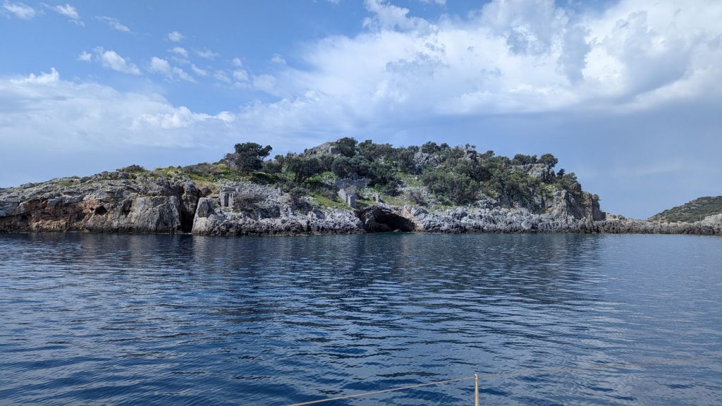
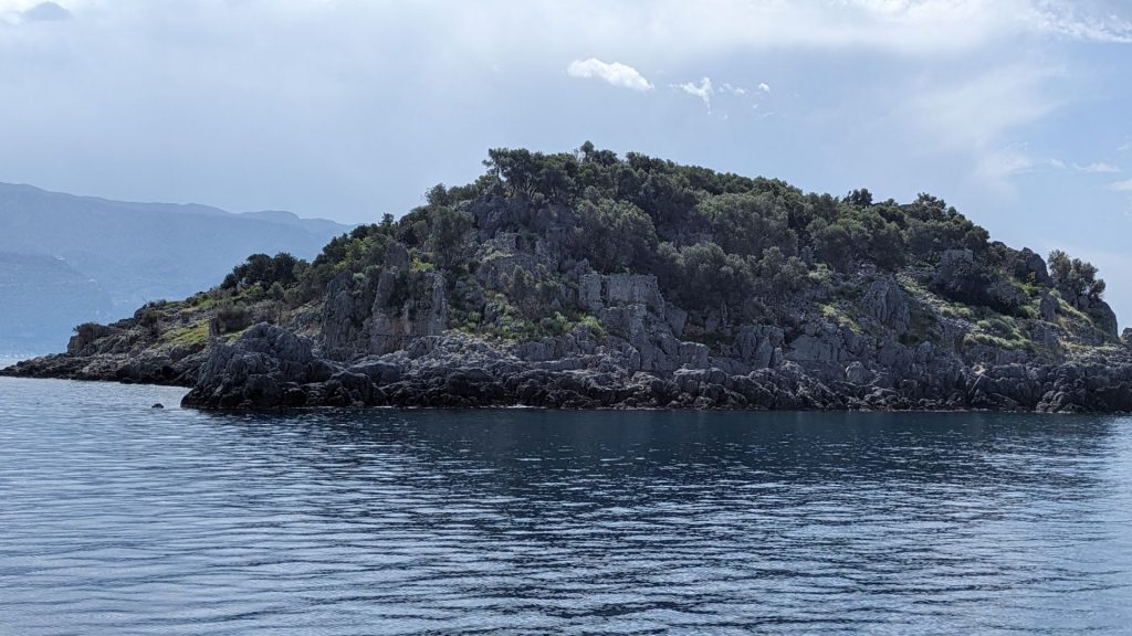
We’d planned to take the dinghy to the island the next day, but the marina contacted us in the morning and told us that the charts were ready to be picked up that afternoon. So, we just sailed around the island and took some pictures (which, in the end, was just as good as going there I think). Here is a short history of the island from Wikipedia:
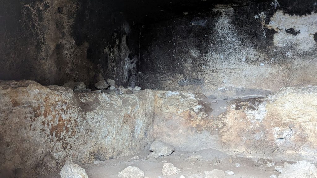
“The Byzantine ruins of five Greek churches built between the fourth and sixth centuries AD remain on the island, along with a 350 meters (1,150 ft) processional walkway. Other remains from the same period include around forty other ecclesiastical buildings and over fifty Christian tombs. One of the churches was cut directly from the rock at the island’s highest point, and is located at the far western end of the processional walkway. It is possible that the Island was used by Christian pilgrims enroute to the Holy Lands.
Modern archaeologists believe that the island may be the location of St. Nicholas‘ original tomb. The traditional Turkish name for the island is Gemiler Adası, meaning “Island of Boats,” which may be a reference to St. Nicholas’s role as the patron saint of sailors; the island was also referred to as St. Nicholas Island by seafarers in the medieval period. Archaeologists believe he was interred in the rock-hewn church following his death in 326. His relics remained there until the 650s, when the island was abandoned as it was threatened by an Arab fleet. They were then moved to the town of Myra some 25 miles (40 km) to the east.”
Here are a couple of pictures of the very small island. You can easily see some of the ruins:
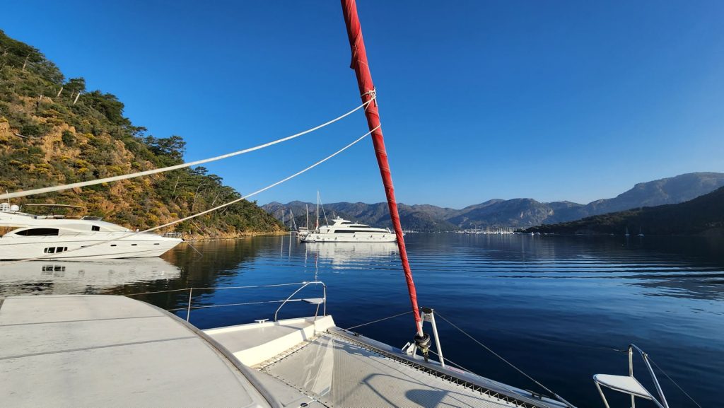
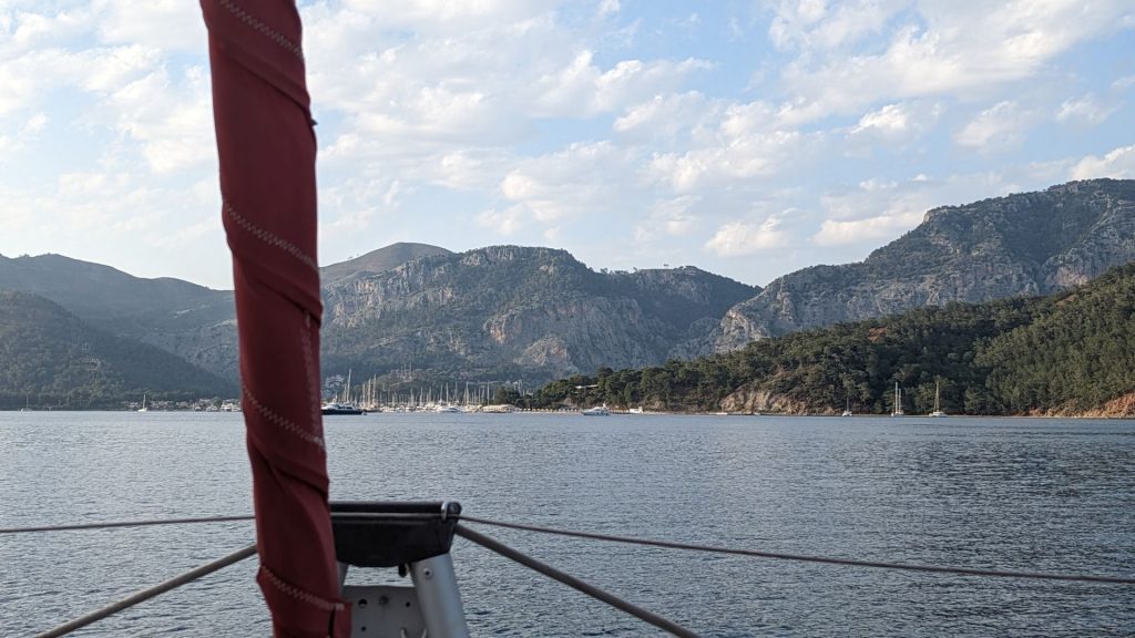
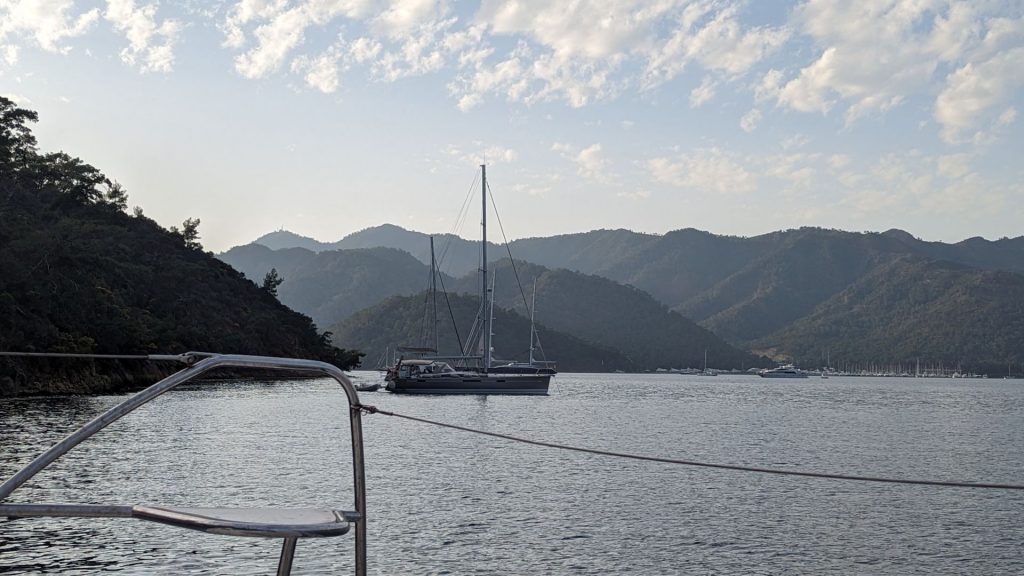
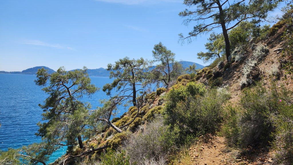
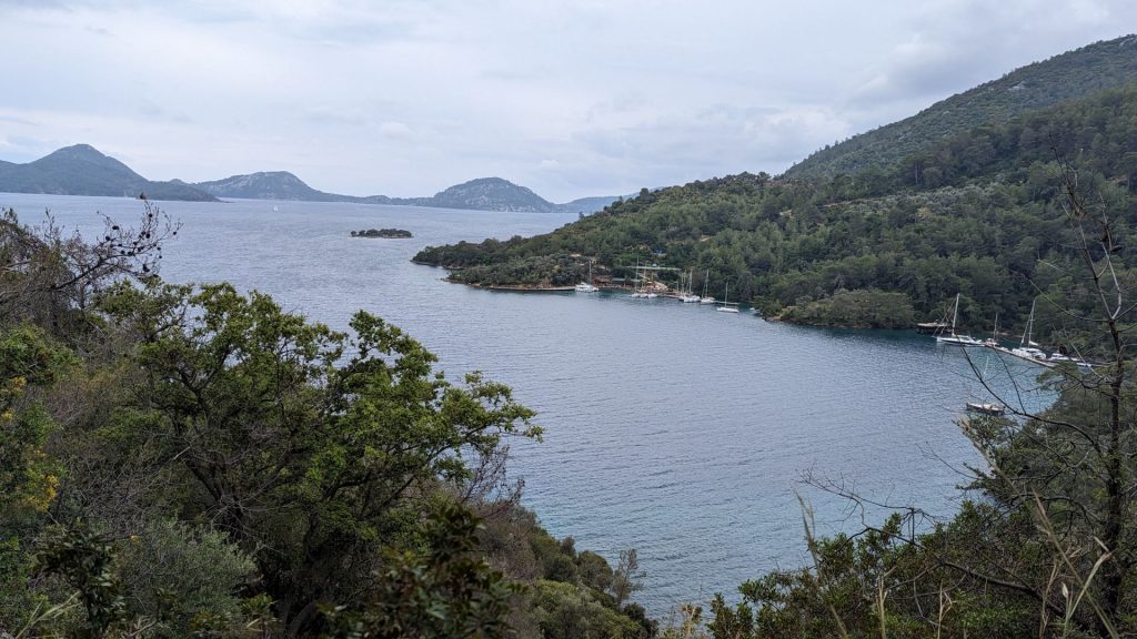
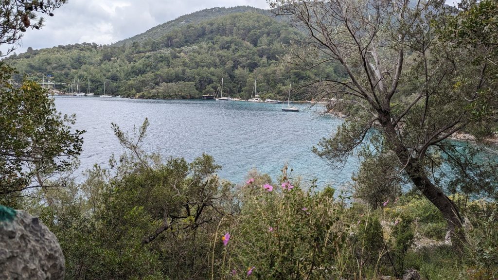
. . . . and we are on our way to Göcek. As per usual, I took pictures of our short journey from our mooring spot to our anchorage in Göcek.
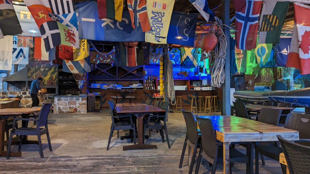
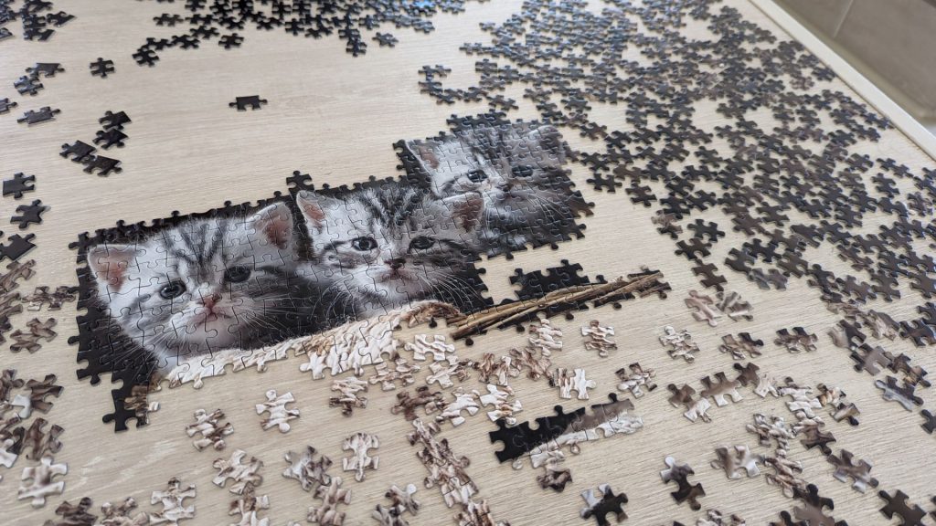
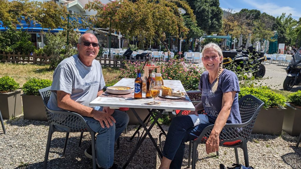
We picked up the charts, then Michael stopped in at a store to discuss Victron products. He ended up talking about the possibility of our staying in Göcek long enough for this guy and his team to build a solar arch on our boat. The guy and his technician came to the boat the next day to discuss arch design. He said they would give us a quote and we could decide whether we wanted to hire them. Ramadan started the next day (Thursday), so we didn’t hear anything. We decided to give him until Monday and if we didn’t hear from him, go somewhere else (yet to be determined). In the meantime, we ate at a few restaurants on shore, started working on the kitty puzzle, and relaxed (like we don’t usually relax! ha!).
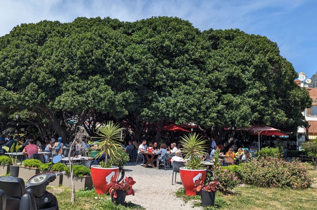
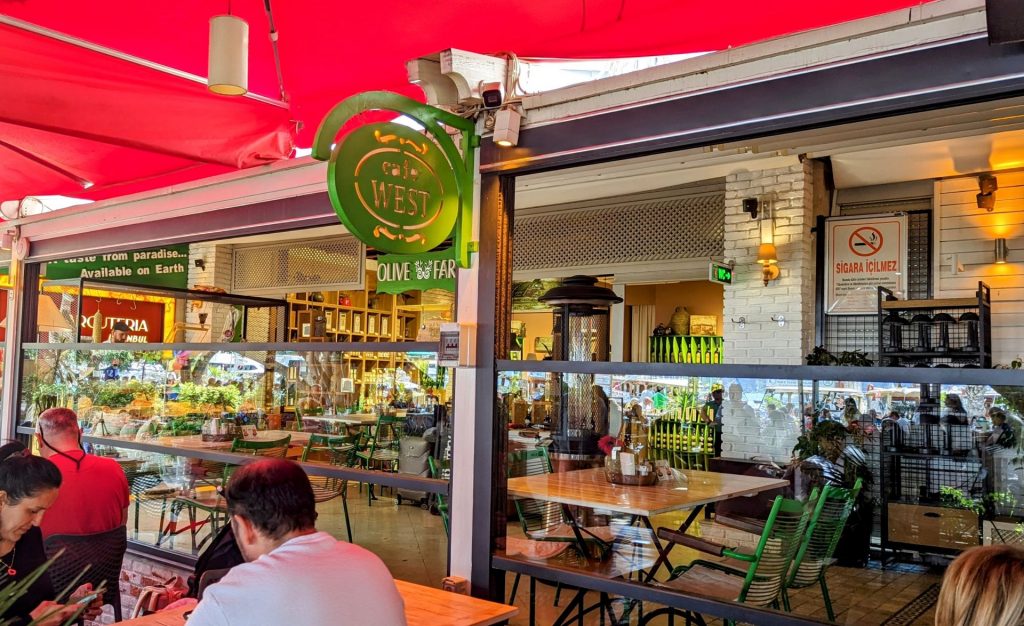
The name is West Cafe and Bistro. The trees create copious amounts of shade for sitting outside. The food was very good and reasonably priced.
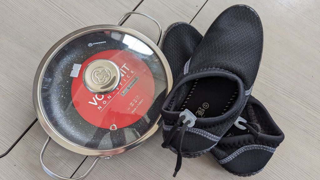
These are our souvenirs from Göcek: a small frying pan and water shoes. The water shoes are for me since I am the one who steps into the water when I tie lines to the shore. I wear a size 41. In Türkiye.
Speaking of tying lines to shore, we did it for the first time on Göcek Island. Thankfully, I had read enough about it to know what to do since it was obvious to us that it would be needed at some point – especially in Greece. Well, it turns out that our first time was in Türkiye.
Since most of our friends and family members aren’t sailors, we’ll take a minute to explain what we mean by taking lines ashore. So, you still put the anchor down, but after you do that, you back up near the shore. (I should note that before this step is taken you’ve already identified items on shore – such as rocks or trees – to which you can tie your lines. You’ve also decided how deep it will be where you drop the anchor and how far you will need to go in reverse to set the anchor, and so the aft end of the boat is the right distance from shore.) Once the anchor is set, one of the crew members (um, me!) gets in the dinghy (one can also swim) and takes the windward line to shore and ties it off while maintaining hold of the painter – the line attached to the dinghy – so they don’t lose the dinghy. After that line is tied, the crew member takes the dinghy out a second time to tie a second line to shore. In the end, this is what our aft end looked like:
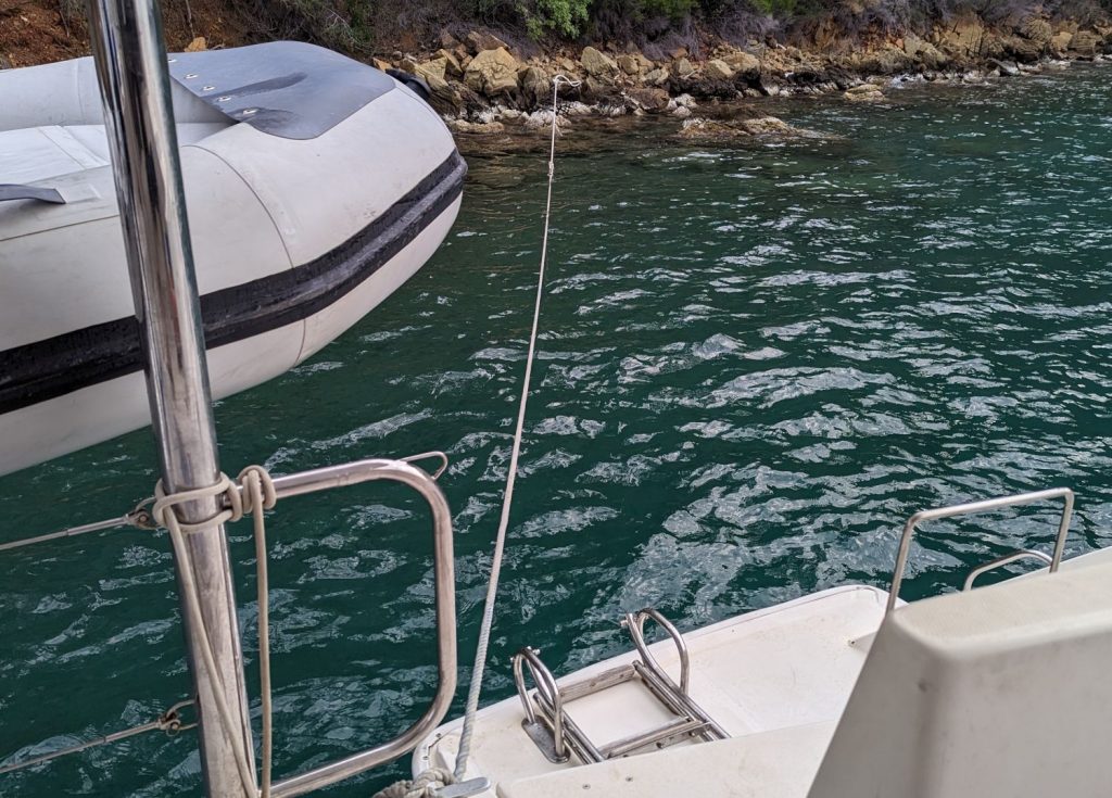
So, your boat is now affixed at three points: anchor, aft port line, aft starboard line. It keeps the boat nice and stable. One of the reasons one would use this method is to fit many boats close together. Since the lines keep the boats in place, you can fit a lot of boats along the shore. We will be doing this a lot.
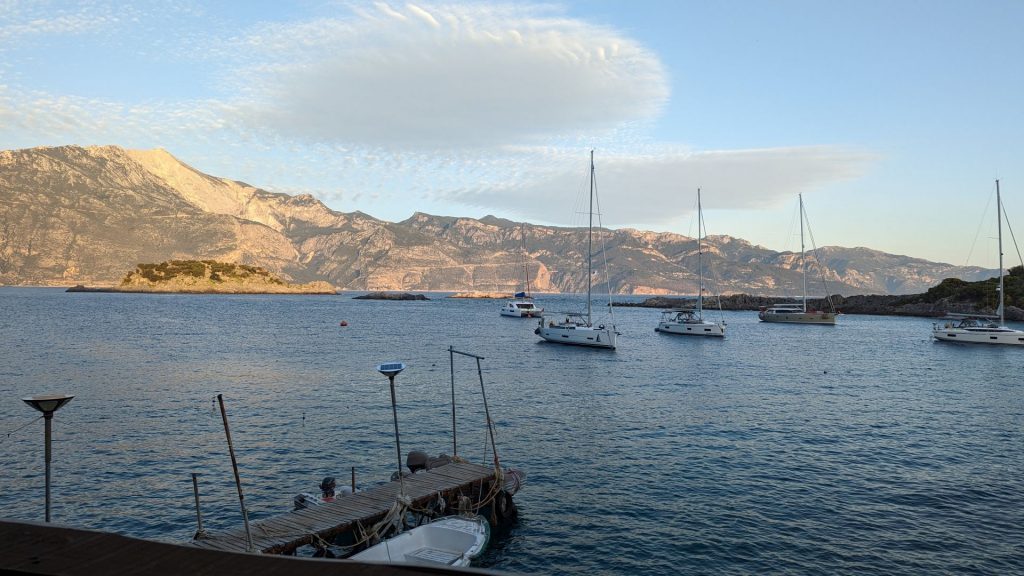
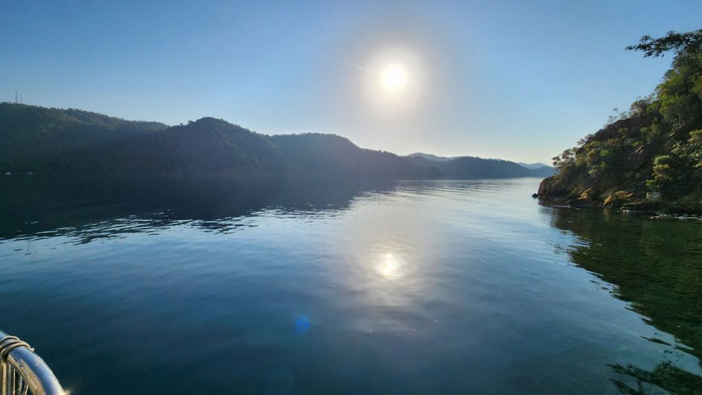
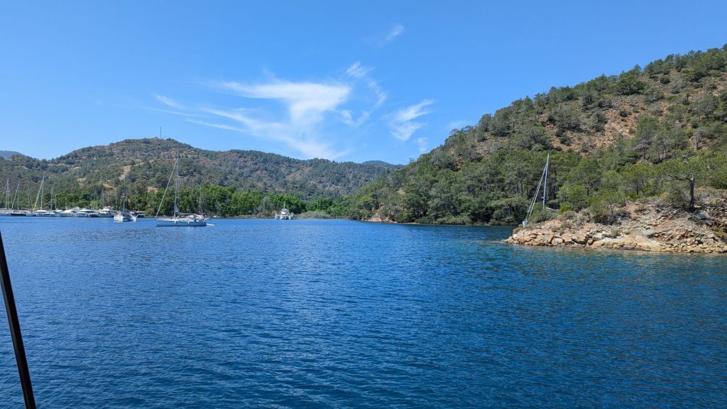
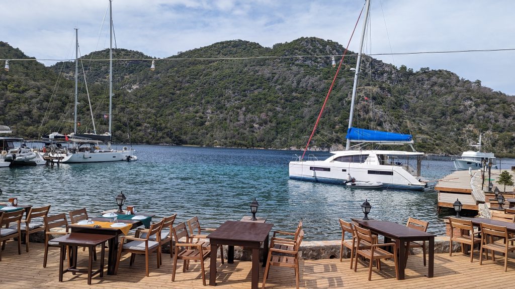
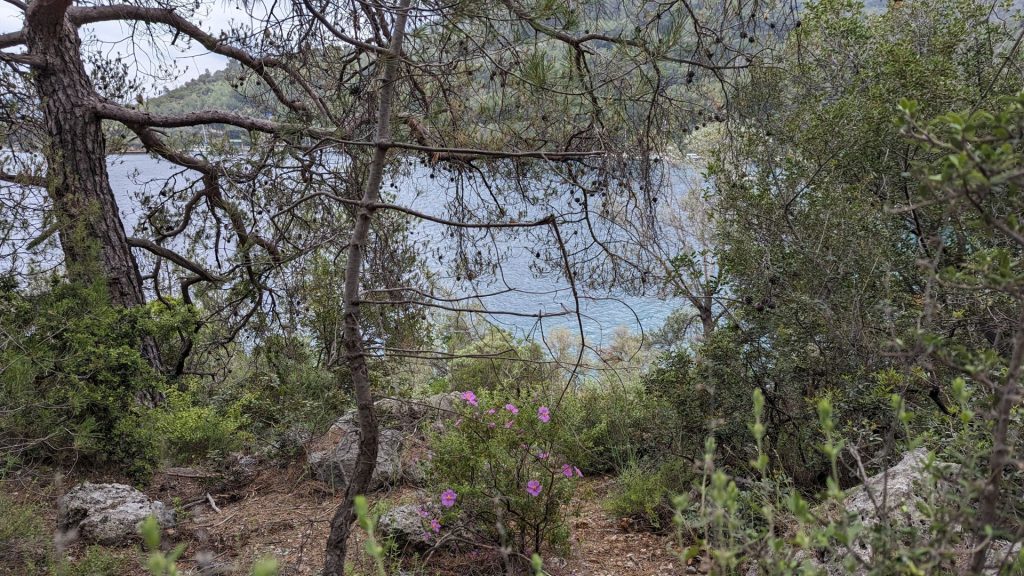
Views from this anchorage:
Okay, fast forward a few days. No word from the solar arch guy. I started looking at the islands near Göcek because I knew there were several that were popular to visit. Turned out that there are also many beautiful bays along the mainland. But first, let’s check on the progress of the kitty puzzle:
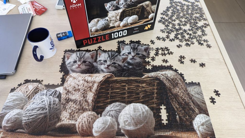
We are down to black and black-ish pieces. I think it might take a year to finish this!! And now, back to our story.
I created an itinerary that could be one in two to five days, depending on how long we decided to stay at each stop. We decided on three days and got through day two. Our plan was to head back to Kaş on the fourth day, then visit the southern coast east of Kaş for several days and wait for a weather window to head to Greece.
As I said, that was the plan.
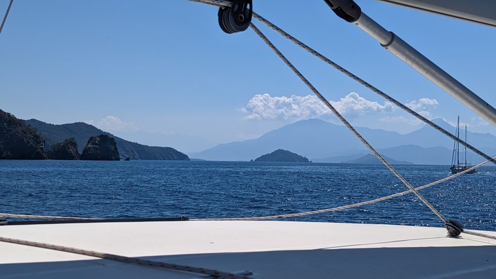
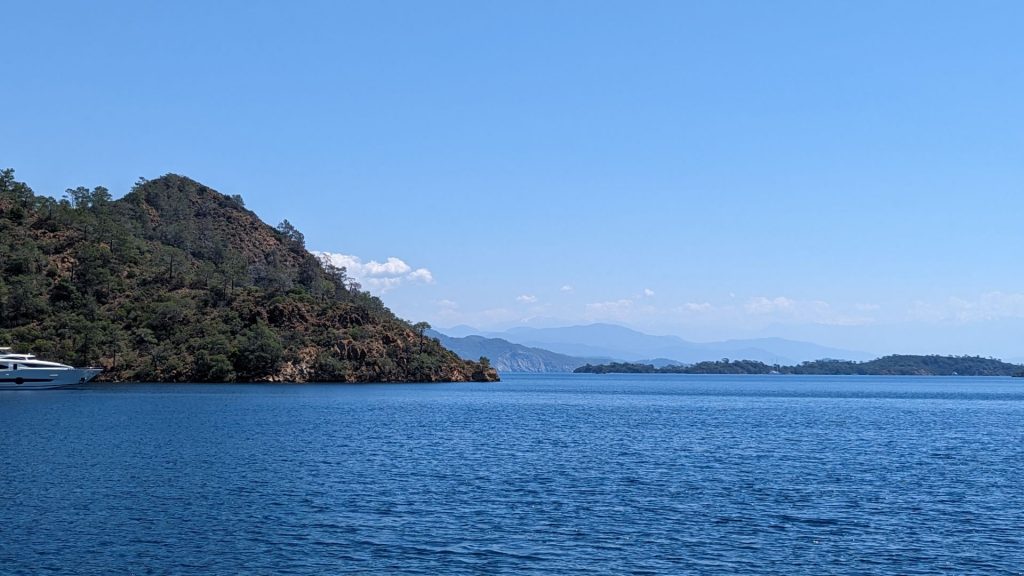
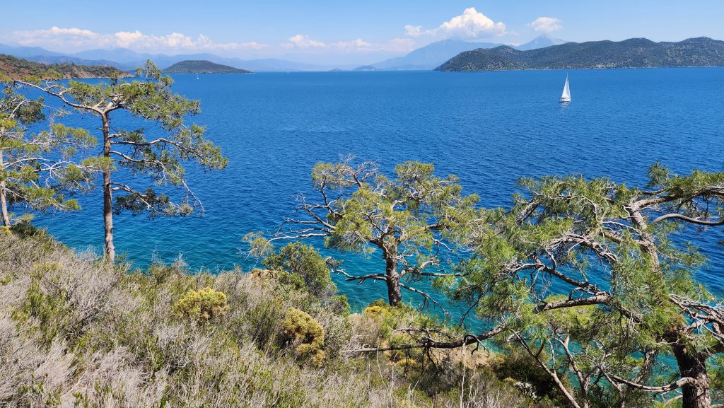
Here are some pictures from the first day. We just did a “drive by” of the first bay because it was too busy. But still pretty.
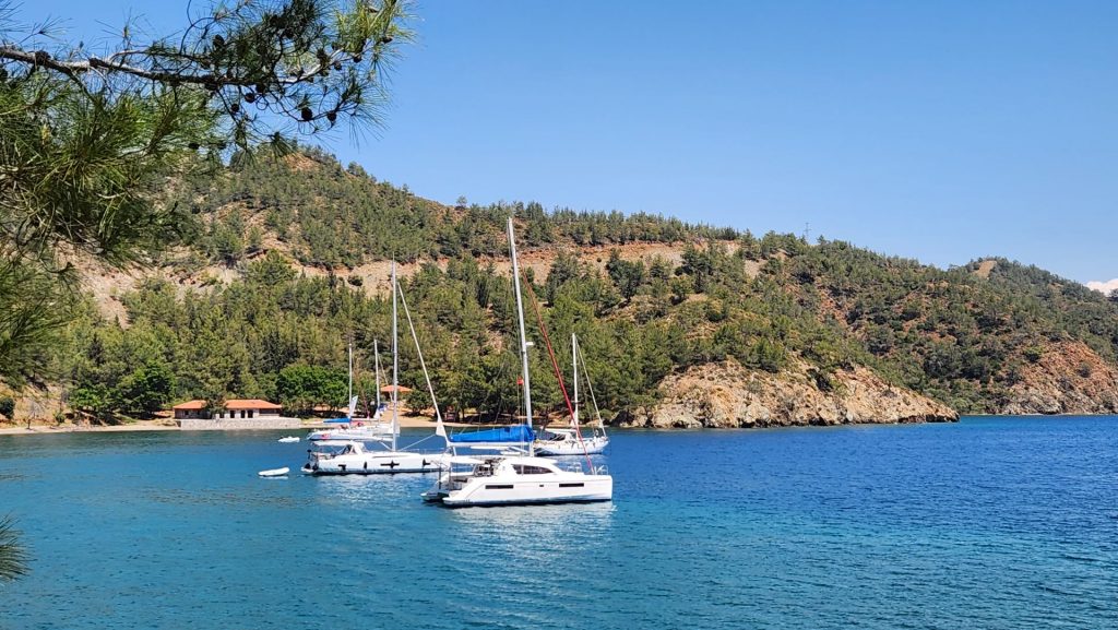
We decided to anchor in the second bay because we saw the possibility of a hiking trail.
We met a family of three who informed us that we were not at the bay I thought we were visiting. No problem, because we loved this little hike! But, that meant that we went to the next bay to take the trail we had read about online.
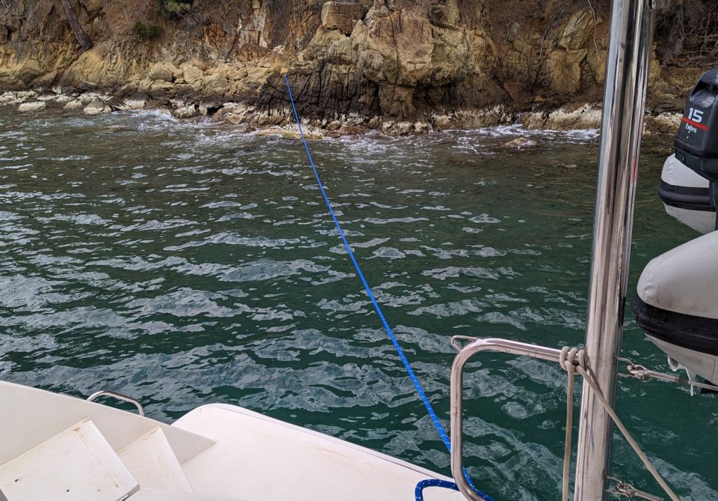
But by the time we got there it was mid-afternoon and we decided we liked it so much we would spend the night and take the hike the next day. We are Med moored. Okay, more info for those of you (and us!) who have never Med moored without a buoy.
We came into the bay and saw that it was too deep for us to anchor. Plus, there were a couple of docks so we had the option of securing the boat to one of them. Michael decided that would be a fine idea, even though it meant we would be mooring in a way neither one of us had done and I hadn’t even had a chance to read about (I didn’t expect to be doing it this soon, but I should have studied up anyway). Since I am always the one who deals with the lines when docking or anchoring, I told Michael that I wasn’t super excited about doing this. But we did it anyway. 🙂
A guy on the dock handed me the first mooring line at the aft end of the boat. Michael mistakenly asked me to tie the “end” of the line to the cleat at the bow of the boat. But there is no “end” because the “end” is secured to the seafloor. So, as I am trying to figure out what I am doing, Michael and the dock guy both came up and helped me figure out what I was supposed to have been doing. The dock guy took care of the starboard side before I even had a chance to say, “boo.”
So, here’s what I should have done: When the dock guy handed me the line that is tied to the dock and to the seafloor, I was supposed to just move my hand along the line until I got to the bow and tie it to the cleat. Then I was supposed to go back and do the same thing on the starboard side. We adjusted the length of the forward lines as Michael put the boat in reverse. In the meantime, the dock guy had already grabbed one of the lines tied to our aft starboard cleat (left there since we took the line ashore) and tied it to a cleat on the dock. The only remaining thing to do was to tie the aft port line to the dock cleat.
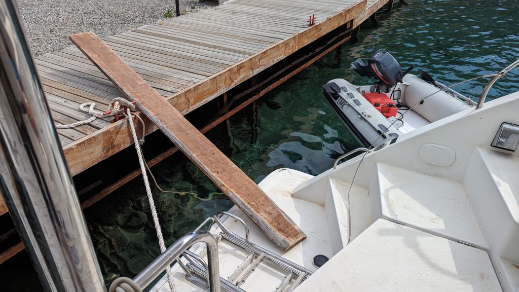
All in all, an epic fail on my part! 🙂 🙂 🙂 Ha ha!!! But I will know what to do next time. As per usual, we walk the plank to get on and off Seahike.
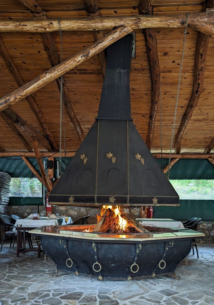
We had a couple of drinks at the bar, went back to Seahike for a bit (I think we worked on the kitty puzzle), then headed back to the restaurant for dinner. Dinner was excellent! And we loved the big fireplace!
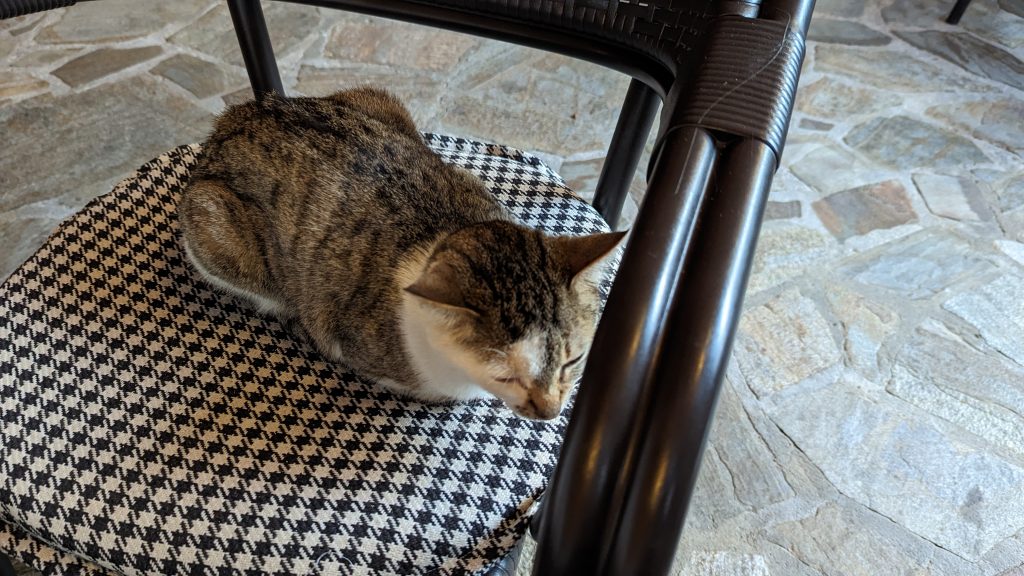
Oh, and I had a seatmate for part of the meal.
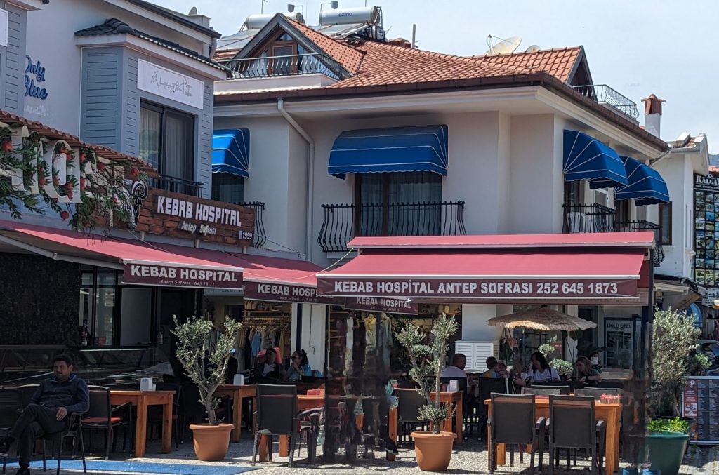
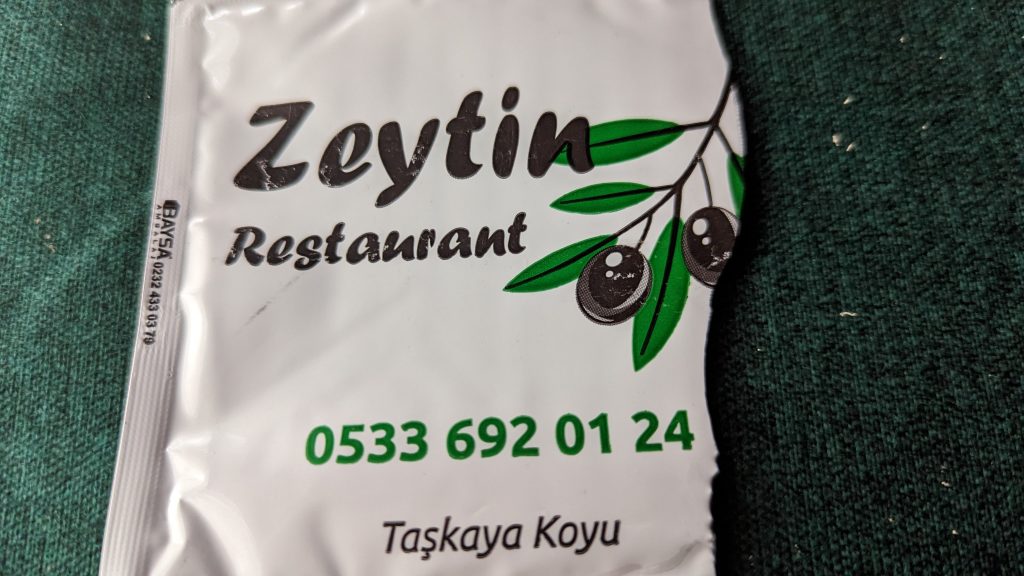
The name of the restaurant is Zeytin, which means “olive.”
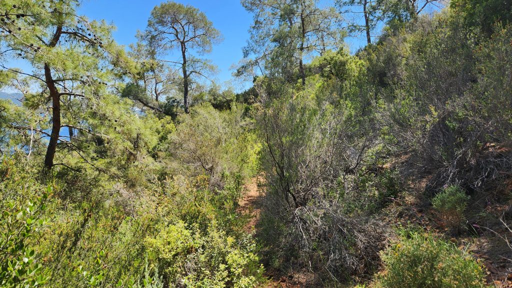
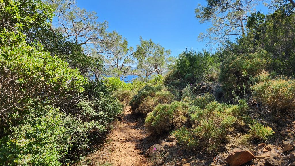
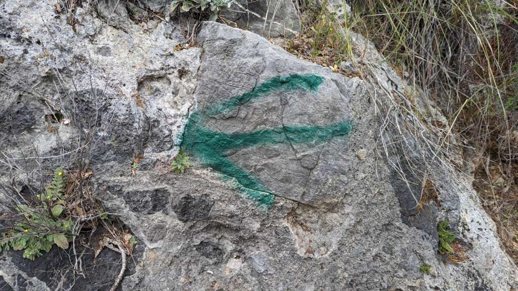
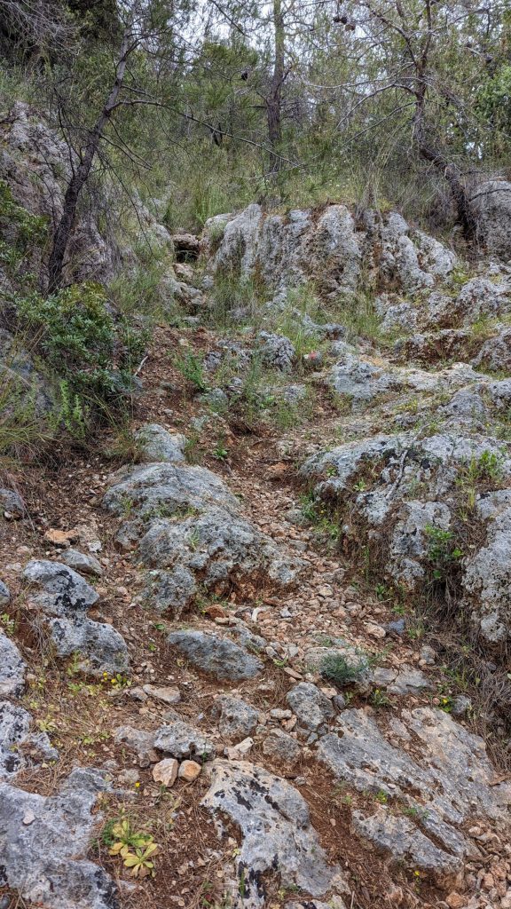
We took “the hike” the next day. To get to the start of the “trail” we took the dinghy to a little beach across the bay from us. It took us a good 10 minutes to find the “trailhead.” We quickly realized that someone had painted the rocks to identify the trail. We first saw red and white, but we lost that path and followed one marked in green instead.
Some of the green markings were super obvious:
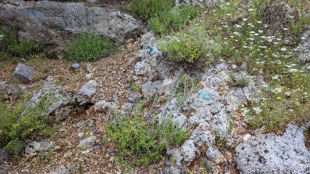
We had to search a little harder for others (even these are pretty dark – not all were):
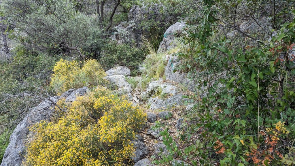
It was a very pretty hike and I almost felt like I was back in the mountains of Colorado. Most of you know that I am a Colorado gal and love climbing mountains. This hike was lovely because it combined “mountain” hiking as well as beautiful views of the sea. LOVE!!
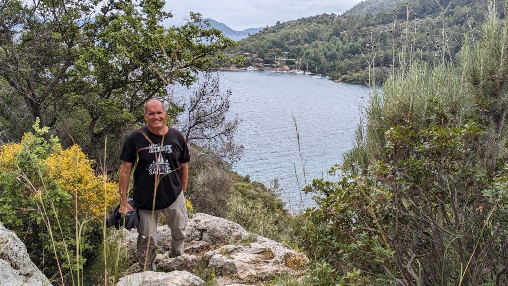
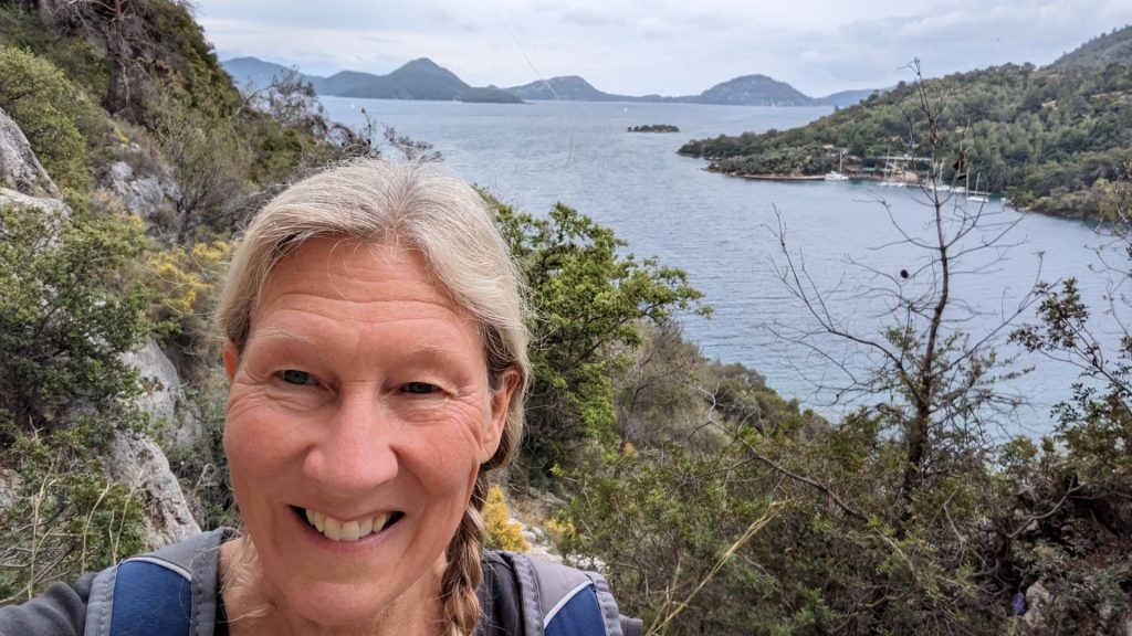
Our destination on this short hike was: 1) these tombs, and 2) the view.
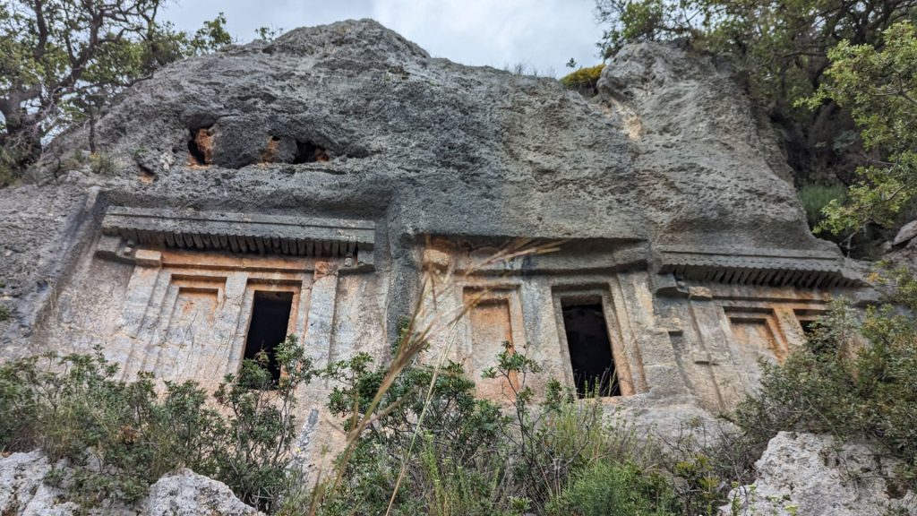
Gosh, I wonder what is inside? Let’s see!
Nice view of the bay. It started to sprinkle a bit so Michael suggested we head down, “before I slip and break a leg.” (Do you believe in foreshadowing?)
We lost the green markings several times on the way down. Our entire conversation consisted of variations on a theme: “Do you see any green?” “I don’t see green.” “I think we are going the wrong way.” “Let’s go this way instead.” “I see green!”
We were about 20 meters from our dinghy when Michael slipped and fell. It didn’t appear to be a bad fall from my viewpoint, but he told me that he thought he broke his leg because he heard a crack and felt it. That seemed unlikely to me, but he was clearly uncomfortable. He hobbled to the dinghy using me for support. When we got to the boat, I went to the restaurant to ask them if there was a clinic nearby. They said there was. I asked if they could call a taxi for us. They could. But then one of them said that he had found someone to drive us, for which we were grateful.
Our sense of gratitude increased exponentially when we saw the condition of the road. The first 12 km or so were on a very rocky, bumpy, twisting, unpaved road. At one point we saw a herd of sheep and a sheepdog. The dog herded them off of the road so we could pass, then proceeded to follow us for quite some time, barking his/her consternation at our presence.
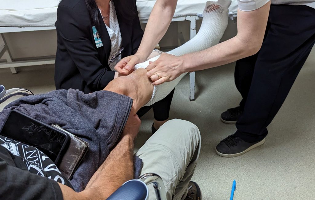
We were taken to a private hospital. We learned later that no one at the government-run hospitals speaks English. We were assigned an aid who went everywhere with us, spoke good English, and served as a translator. We first had to fill out paperwork and pay a fee up front to see the doctor. The doctor sent us to x-ray. The x-ray showed a clean diagonal break in Michael’s left fibula. We then paid another bill to cover the cost of the cast. Yes, I have pictures.
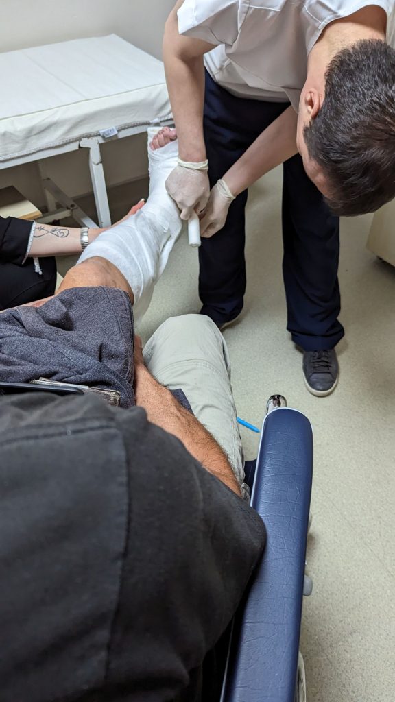
Our driver stayed with us the entire time. He doesn’t speak English, so when we needed to communicate with him, he called the guy at the restaurant who speaks English.
The next stop was to the store to buy crutches. We had learned that Michael would need to be in a cast for five to six weeks and that we needed to return to the hospital in one week for another x-ray. The follow-up x-ray is needed to make sure the bone is staying in place. If it isn’t, surgery will be required. (Fingers crossed it stays in place.)
After a stop at an ATM so we could get some money to pay our driver and a restaurant to get a burger to go, we headed back to the boat.
We were greeted by a boater who asked if we needed help. We told him we might when we got to the boat, but then another person (an employee) came to our aid. While we slowly made our way to the boat, they brought another board to our boat to give Michael a wider “path” to access Seahike. We stopped to adjust the handholds on the crutches as well. When we got to the boat, Michael decided that the safest way to get on board was to crawl across the boards. Brilliant! So he did.
It is now April 27, the day after Michael broke his leg. Michael is uncomfortable but I am waiting on him hand and foot, so that helps. 🙂 🙂
We estimate that we have traveled 4,440 nm on Seahike since we bought her on September 1, 2022. I decided to mark the miles today because it would be easy to remember that we’d made 4,440 nm by the time Michael broke his leg. Maybe we will start to measure time BB and AB (before the break and after the break). Ha ha!
We know we will be here for a week then return to the hospital for that next x-ray. We have no idea what our plans are after that. Stay tuned!
You do such a good job writing these blogs! They are very interesting and humorous! Speedy recovery Michael!
Thanks, Linda! We are so happy that you enjoy them!
What an adventure you are having. I guess now you will just relax and enjoy the area until you are ready and able to move to the next destination. Stay safe!
Yeah, forced down time. 😀. We are hoping Michael feels well enough in another two weeks to be on the move again.