The past week has been simply amazing! We have much to share.
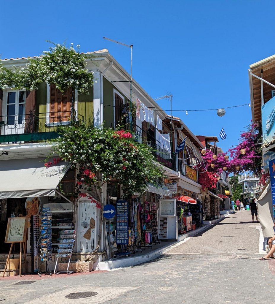
We went to Athens after Serifos. We spent one afternoon sightseeing in Athens and that almost felt like enough. We saw most of what we wanted to see and quickly tired of the crowds (Cindy did, anyway). We had planned to go into Athens again the second day we were there, but we spent much of the afternoon cleaning Seahike’s exterior. By the time we were done, Michael’s leg was really sore. I considered going into Athens alone but discarded that idea. In short, we didn’t see a lot. Here are a few pictures of what we (or I, when Michael needed to stop walking) saw.
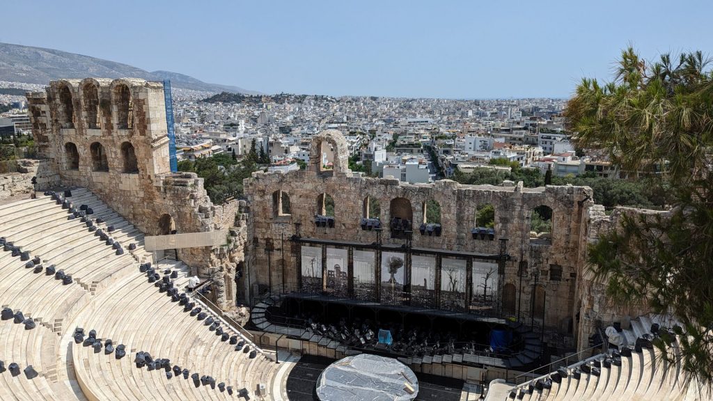
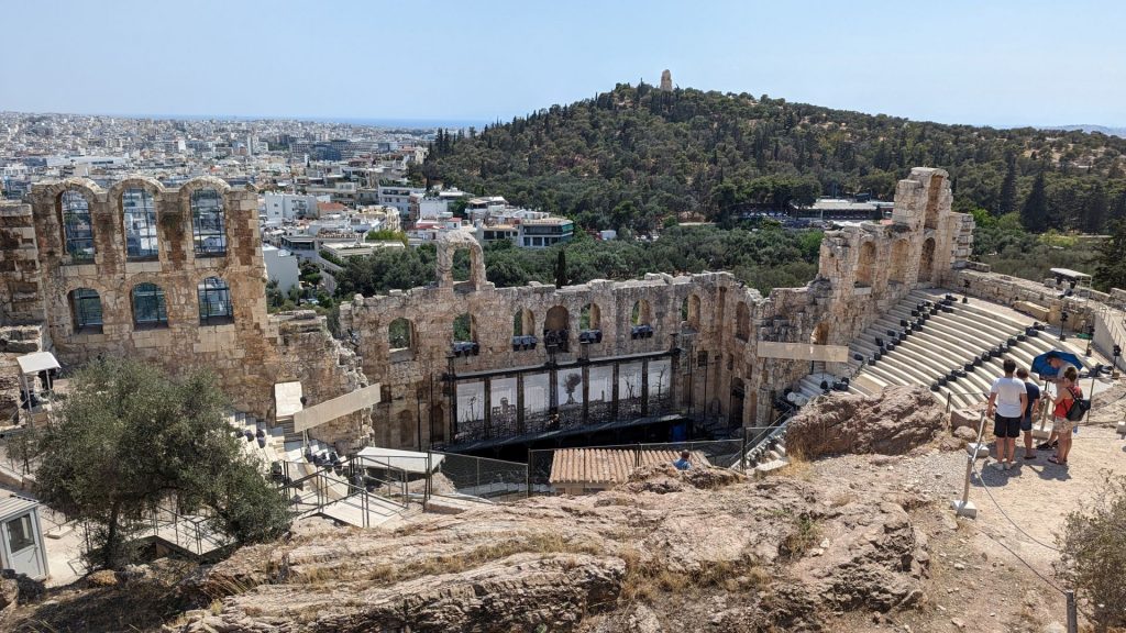
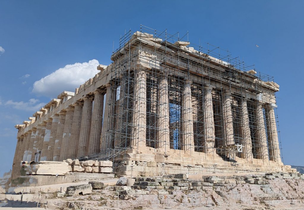
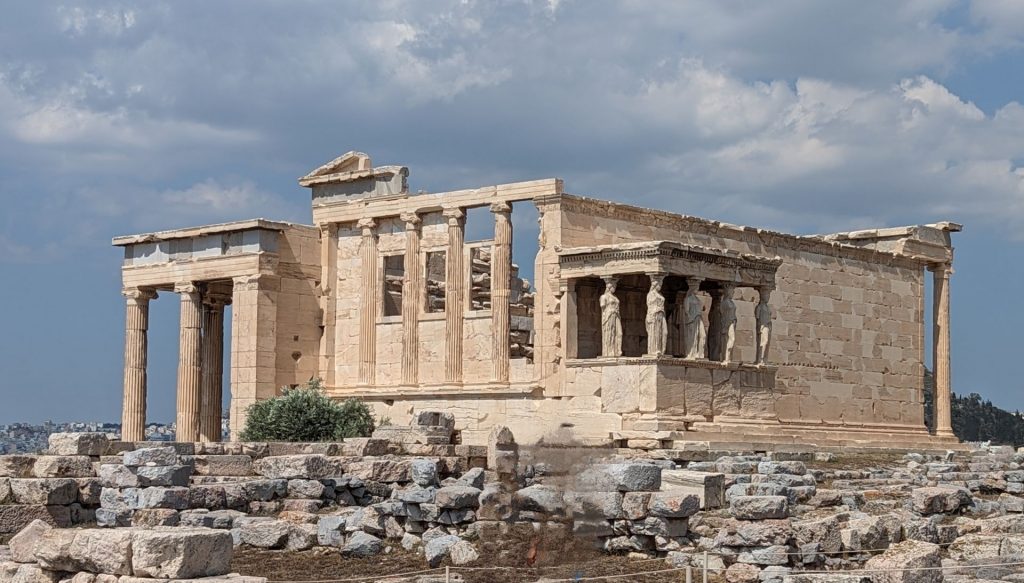
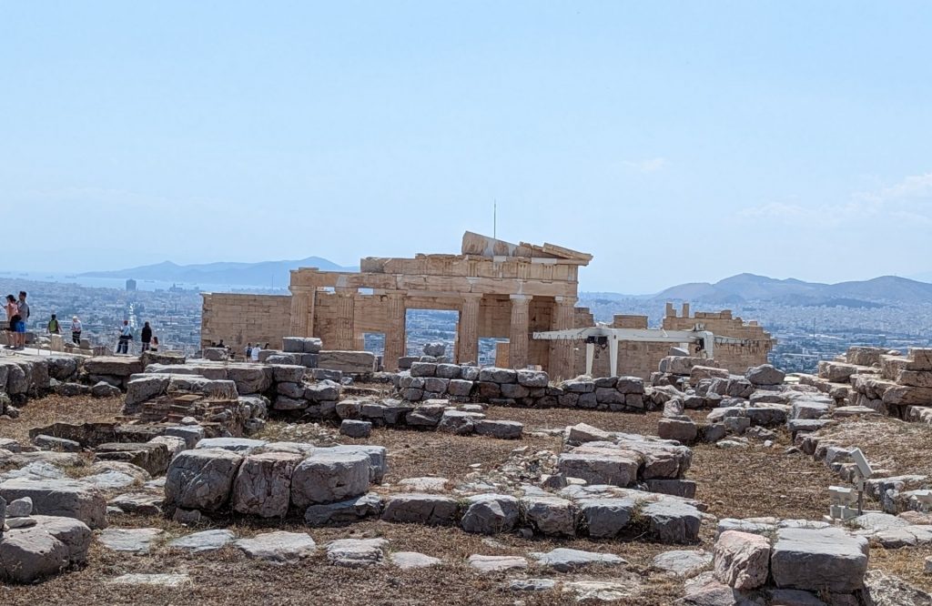
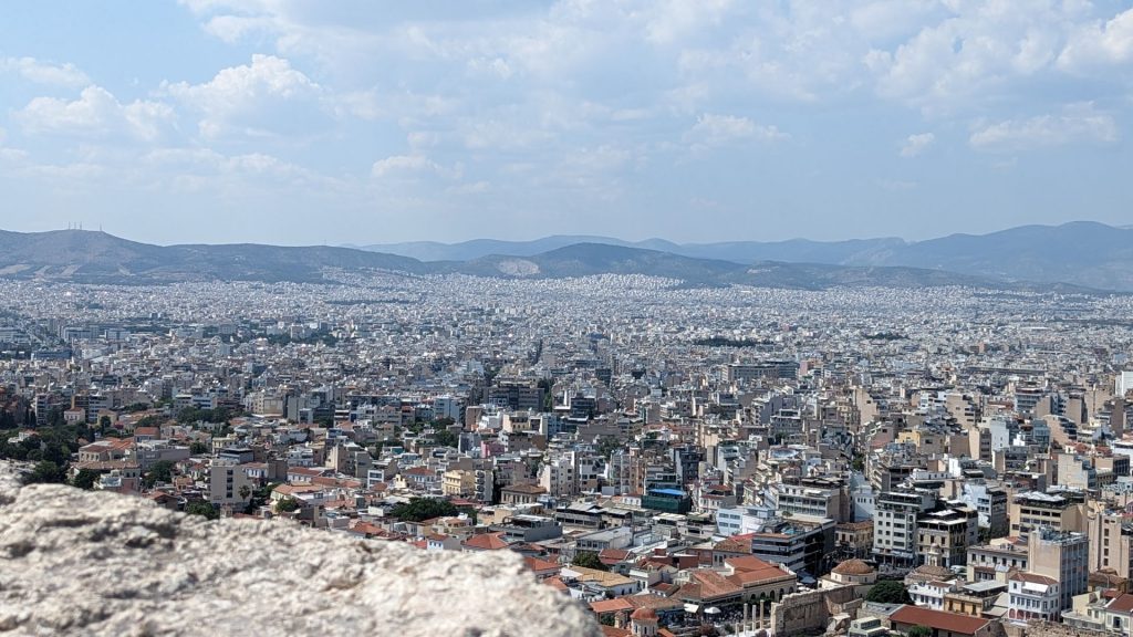
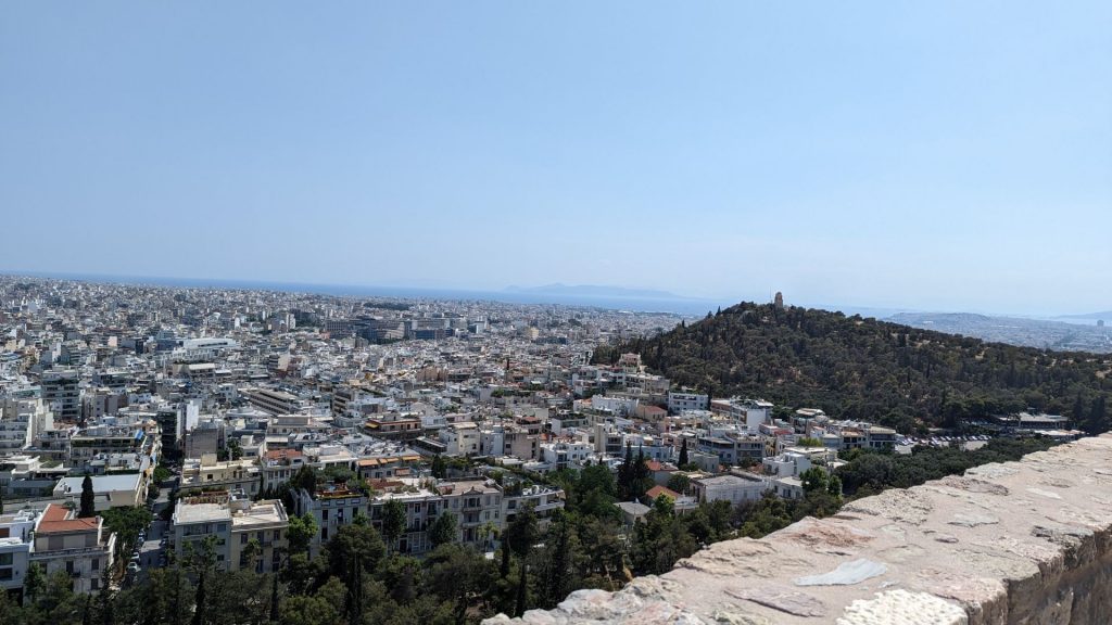
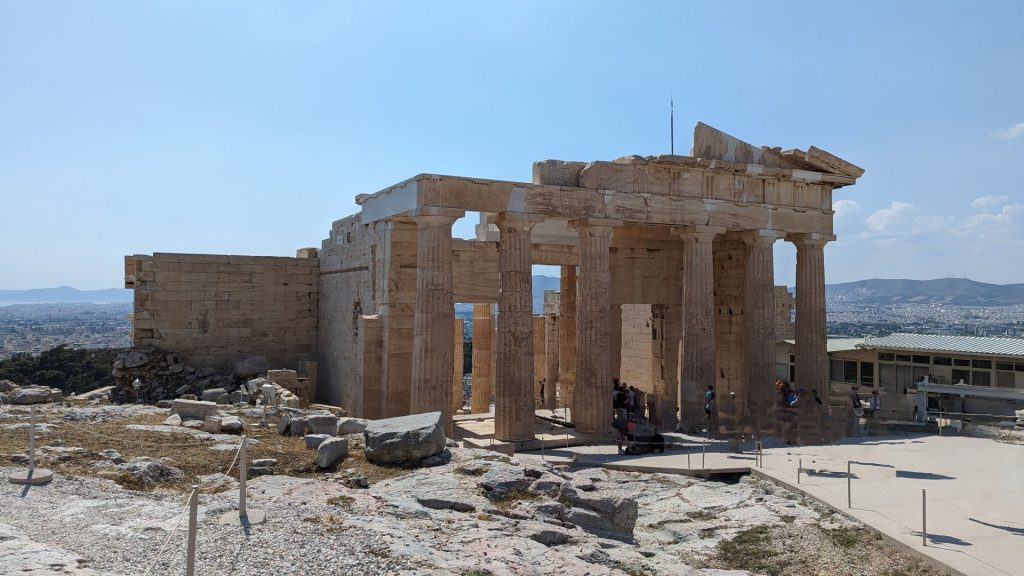
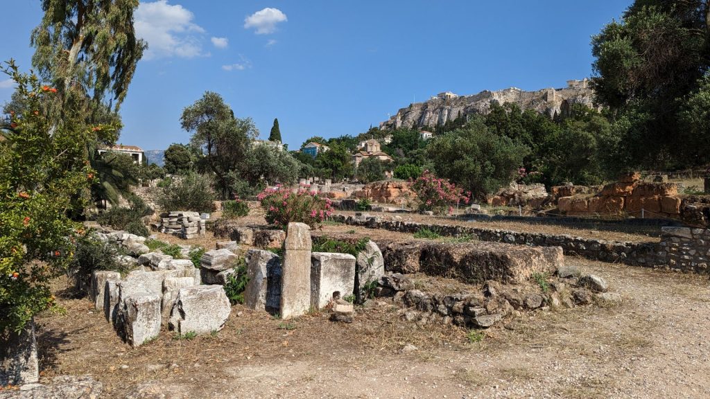
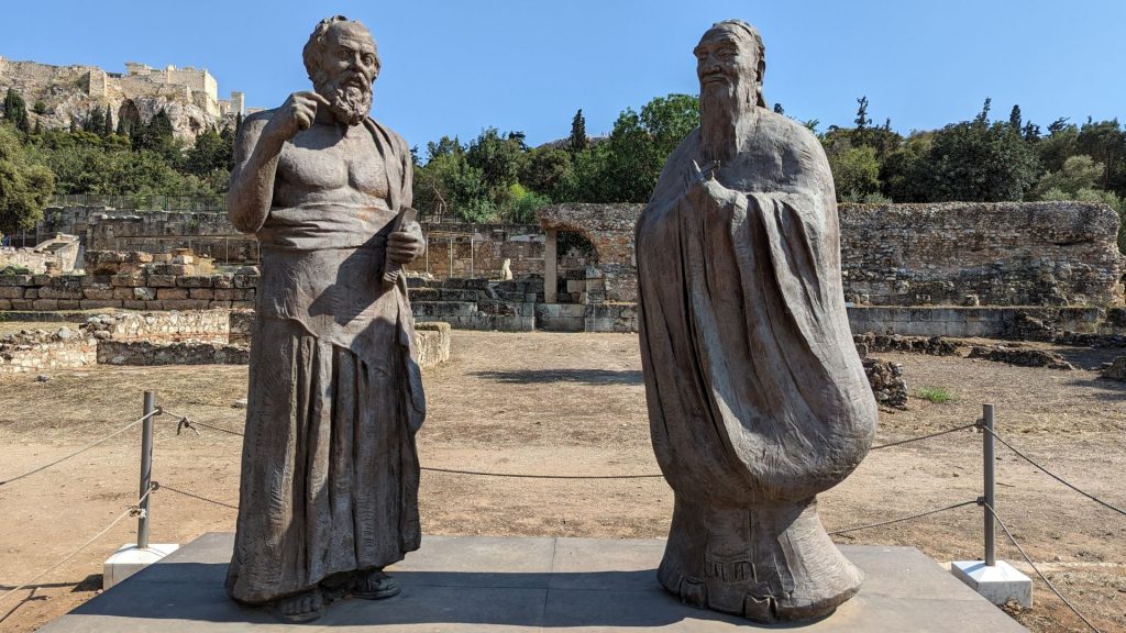
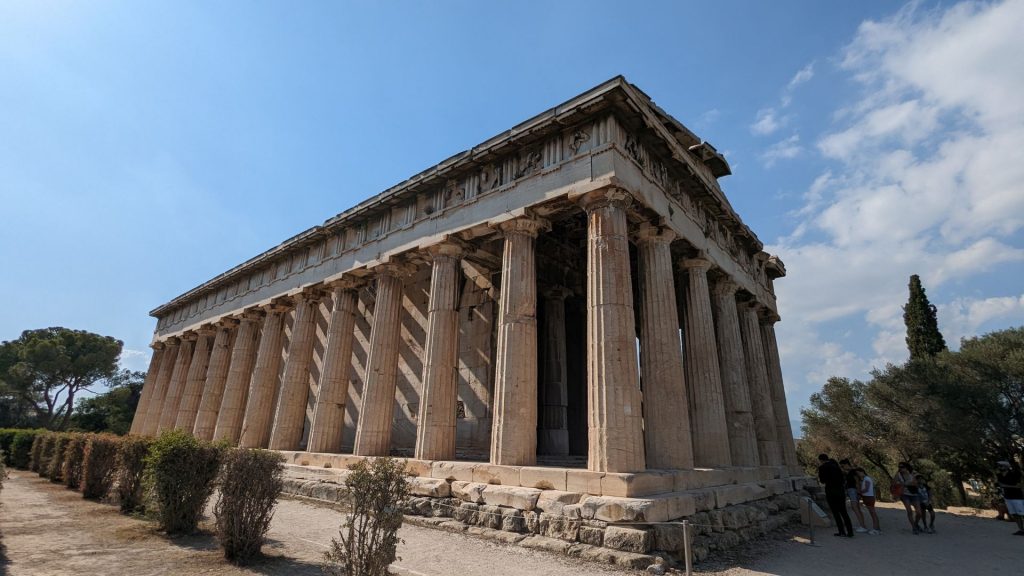
Michael needed to stop walking after visiting the Acropolis, so I walked to the Ancient Agora of Athens. Some pictures:
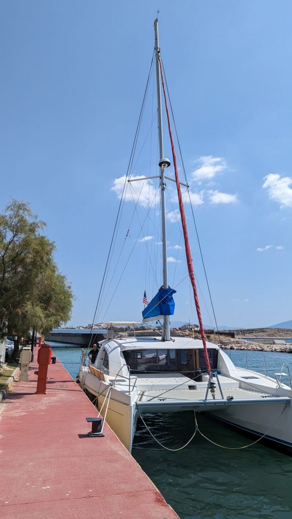
And that was it for Athens. On the bright side, Seahike’s exterior (except for the sides) was nice and white again!
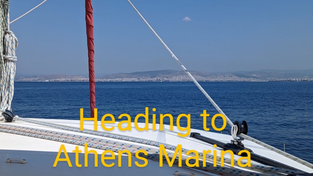
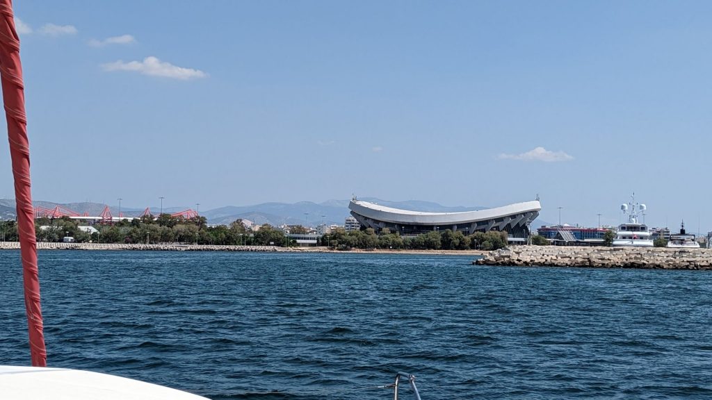
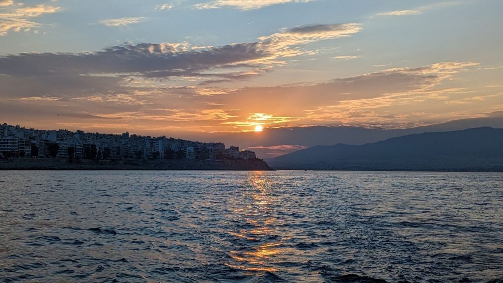
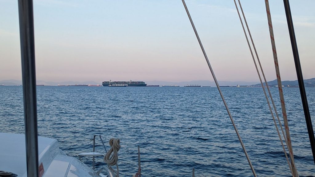
We left Athens by a sea of ships. Not sure why so many were there, but they were!
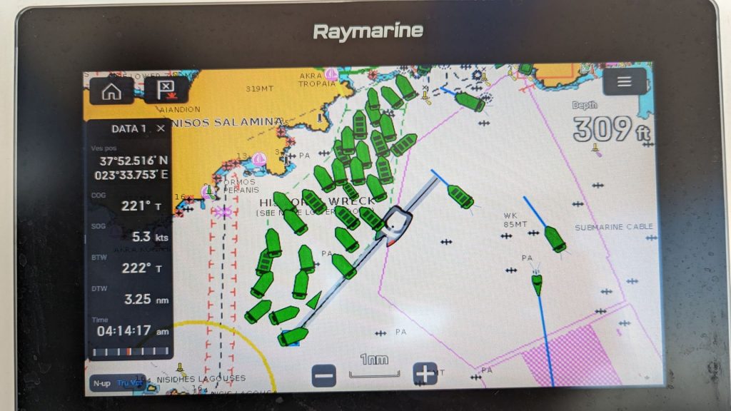
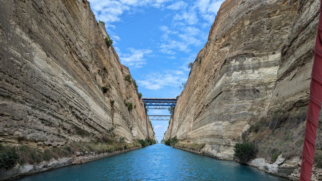
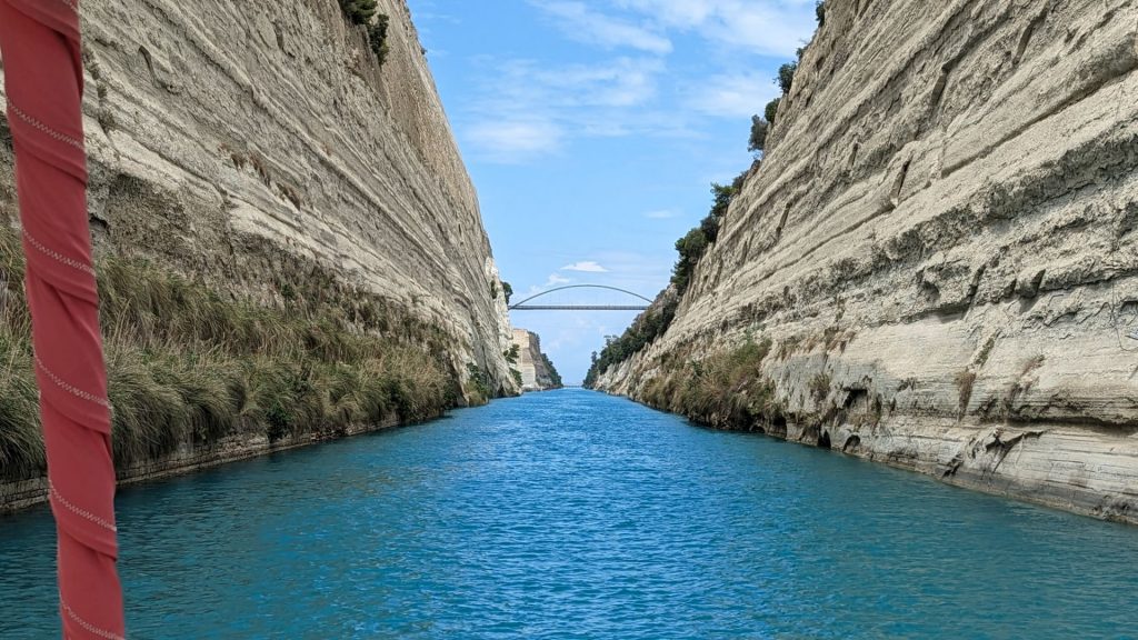
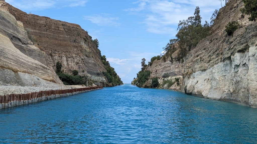
It was 32 nm from Athens Marina to the Corinth Canal. I was uber excited to sail the canal! First, the pictures we had seen looked lovely. Second, the canal itself is quite amazing. Here’s a bit of info about it. (When I say “a bit,” I mean a lot. I really like this canal!!)
Why build it? Before the construction of the canal, ships passing through this oceanic area had to endure a circuitous and roundabout route in order to enter the Mediterranean and the Black Seas in addition to the Aegean Sea. (You will recall that we had been sailing in the Aegean Sea and were heading to the Ionian Sea.) The construction of this canal helped seafarers avoid the dangers of sailing around the Peloponnese’s treacherous southern capes. (We would have taken the Peloponnese route had the canal not reopened when it did.)
If you look at a map, you will see that the Isthmus of Corinth is a very narrow piece of land that separates the Aegean Sea from the Ionian Sea. If you can believe it (it’s true!), as far back as 600 BC, ships were dragged across the isthmus on cradles on a specially constructed stone road. I can’t even imagine. . .
The suggestion for cutting through the isthmus of Corinth was started in classical times as many rulers in Greece dreamed of such a passage. It is suggested that the idea was conceived during the time of Periander, who was the second tyrant of Corinth in the 7th century BC. But it was the Roman Emperor Nero who initiated the first serious attempts to dig a canal in 67 AD. He completed only about 700 meters (2,296 feet), a little more than a tenth of the distance required.
The modern canal, which follows the same route as Nero’s canal—and thus obliterated all traces of it—was begun in 1881 and completed in 1893. It didn’t open for traffic until the following year, however, because of problems with the stability of the walls (an ongoing problem). The Corinth Canal is considered a great technical achievement for its time.
The canal experienced earthquakes in the year 1923, which caused around 40,000 cubic meters of the wall surrounding the canal to cave into the water. The accumulated debris took around two years to be fully cleared up, after which navigation could resume again. Even now, high-risk alerts are posted regularly to the ships using the canal. But the largest disruption so far happened back in 1944, when departing Nazi German occupying forces threw a large number of railway vehicles into the canal and proceeded to blow up its slopes and bridge. A massive 60,000 cubic meters of soil cascaded into the canal as a result, shutting it down for five years.
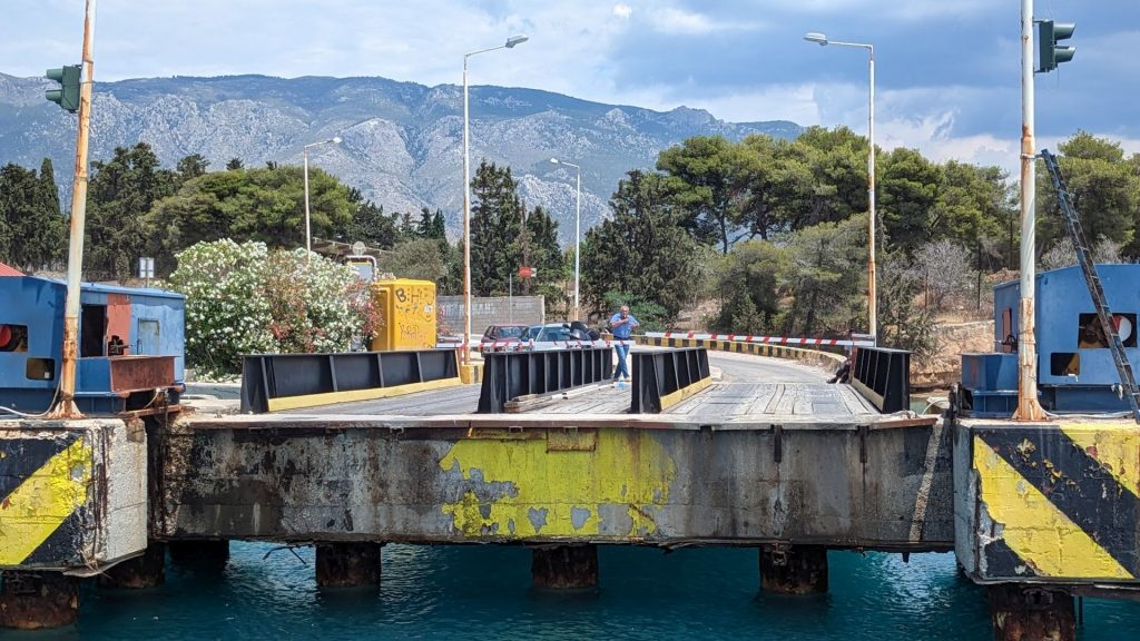
In 1988, two submersible bridges were constructed across the Corinth Canal, one at each end, in Isthmia and Corinth. The bridge lowers the bridge deck eight meters below water level to permit waterborne traffic to use the waterway.
Stats: The canal is 6.4 kilometers (3.4 nautical miles) long, 25 meters (82 feet) wide at sea level, and 8 meters (26 feet) deep. It runs in a rough northwest to southeast direction. Big cargo ships used to “fit” through the canal, but as their size increased they were no longer able to use it. It is now used by smaller cargo ships, cruise ships, pleasure boats, and tourist vessels. This, of course, includes Seahike!
Presently, it is a popular destination and the 2nd most visited place in Greece, attracting people from across the world. It is usually open 24 hours a day, except between 6 a.m. and 6 p.m. on Tuesdays when maintenance work is carried out. Up to 12,000 commercial and tourist vessels registered in some 60 countries travel through the Corinth Canal every year.
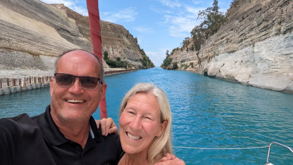
Traffic in the canal runs in only one direction at a time, so you have to wait for eastbound traffic to exit before they will let the westbound traffic go (if you are going westbound, that is). The submersible bridges at each end of the canal are raised and lowered to control the flow of traffic in the canal. We were lucky – we only waited about 30 minutes, and we were the first boat in our convoy to go through the canal so we had a wonderfully unobstructed view!
The canal is considered one of the most expensive stretches of water in the world. We paid $228.03, which comes to $67.07 per nm.
Okay, I could talk about this forever because the history is so rich and amazing. But I will stop and share some pictures.
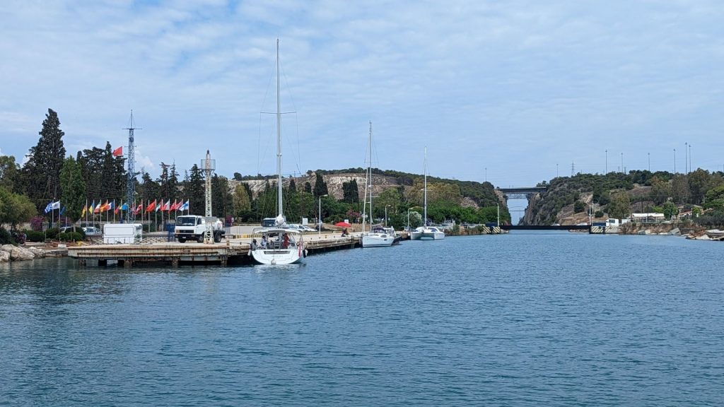
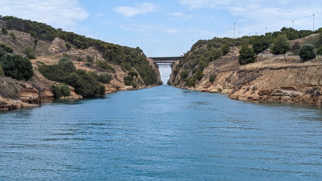
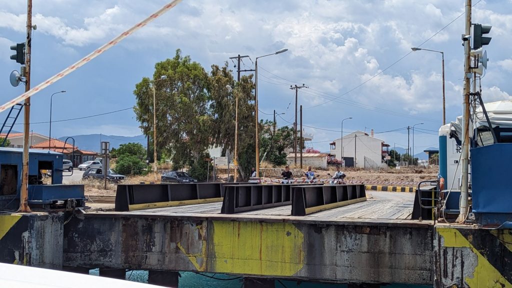
We are in the canal! (The submersible bridge dropped without our even noticing it.)
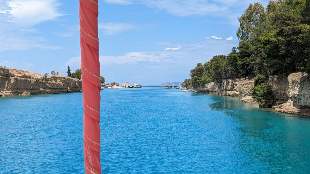
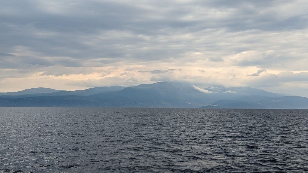
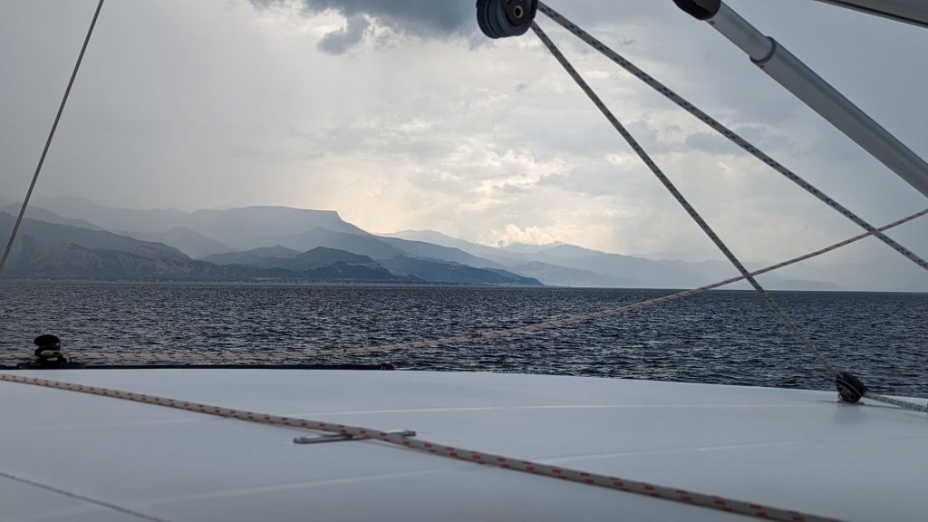
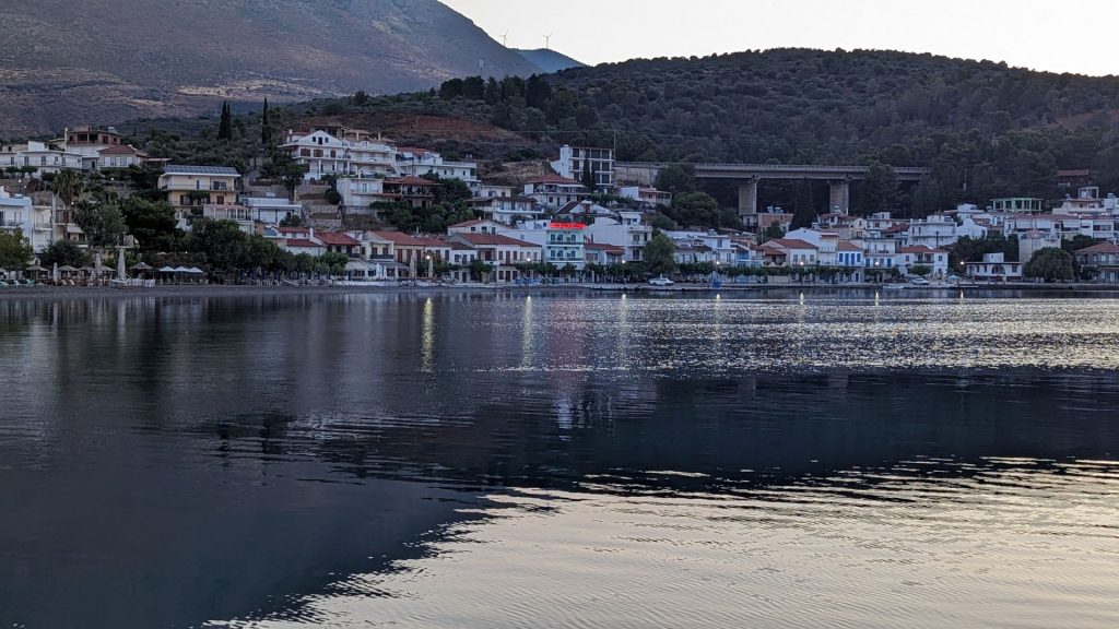
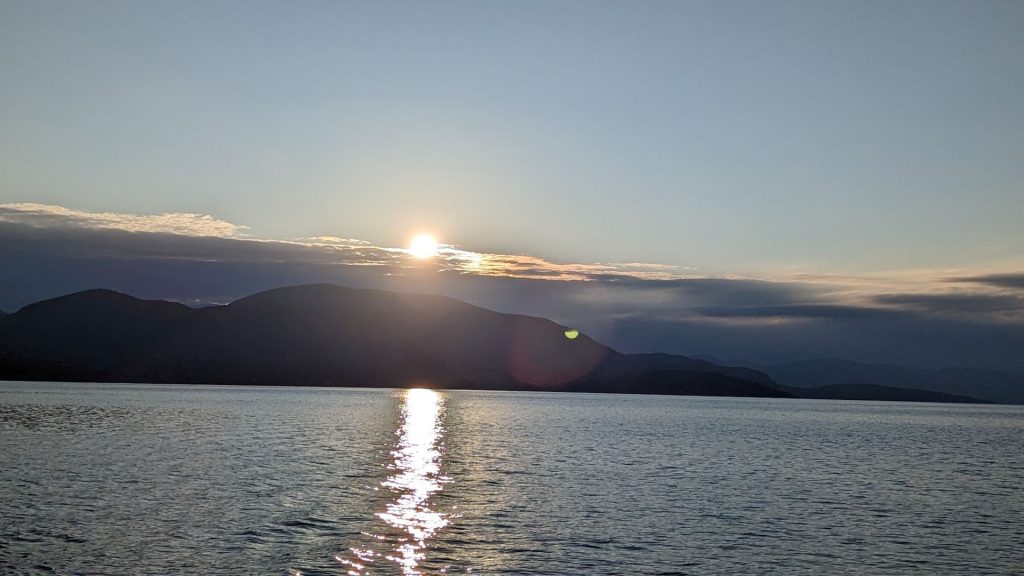
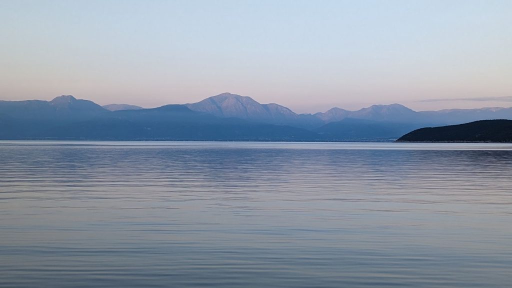
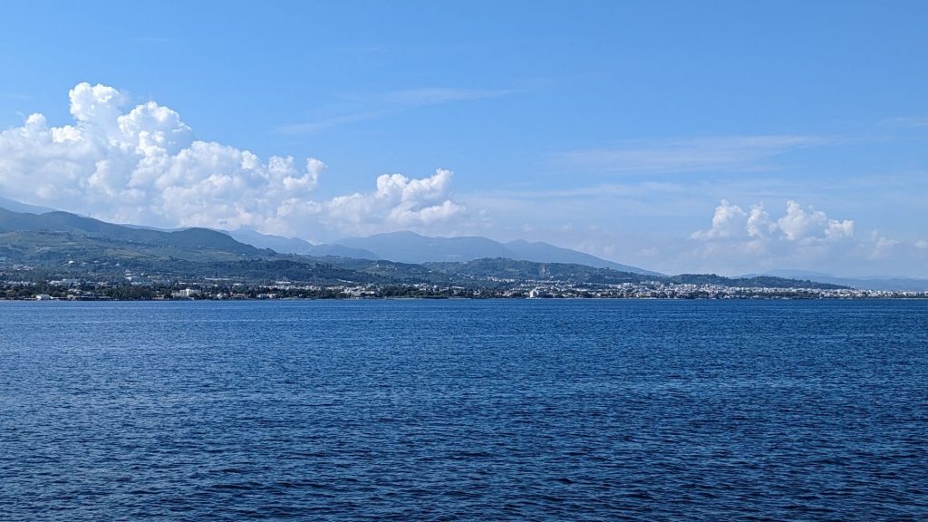
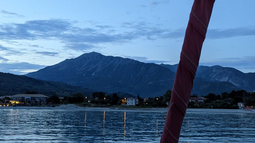
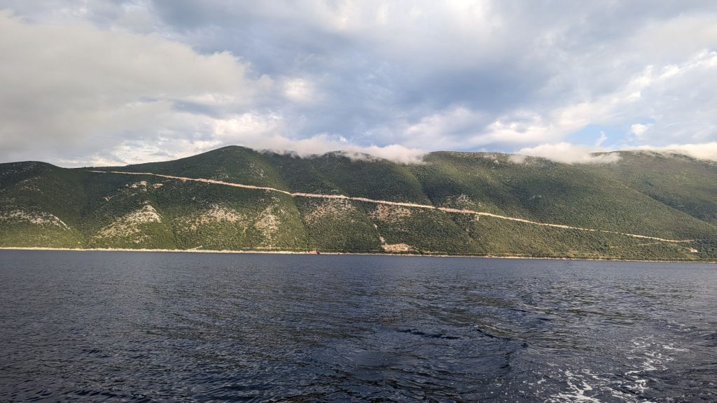
This took us to the Gulf of Corinth. The weather was a bit spotty in some areas, which made for wonderful scenery.
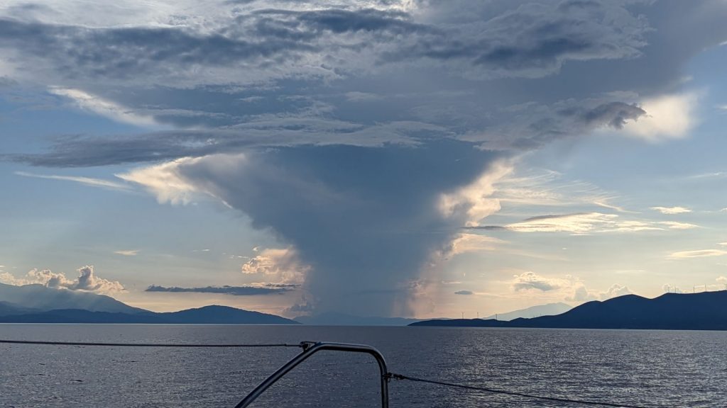
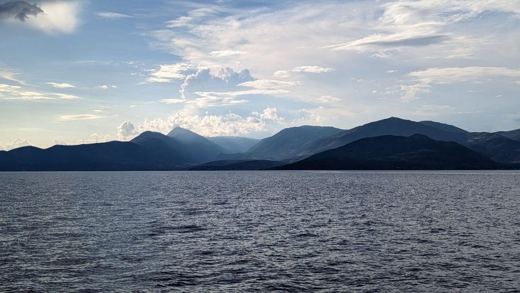
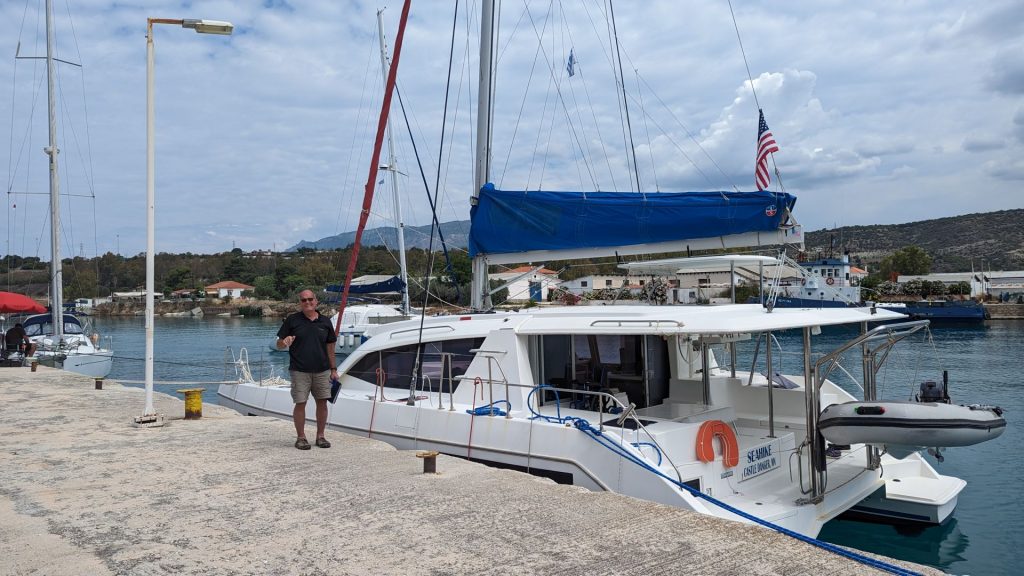
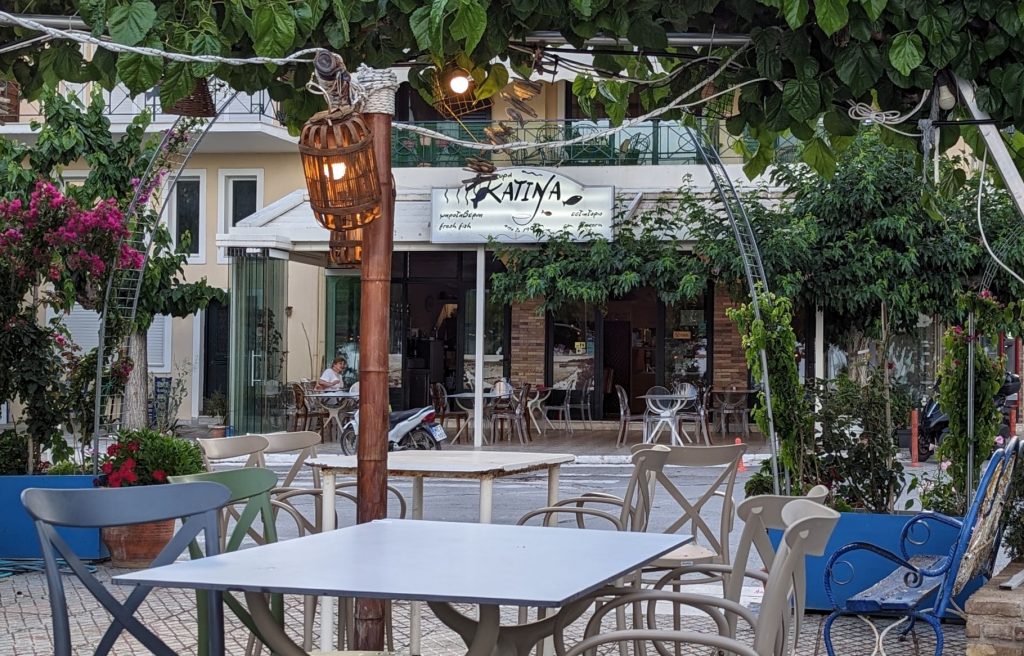
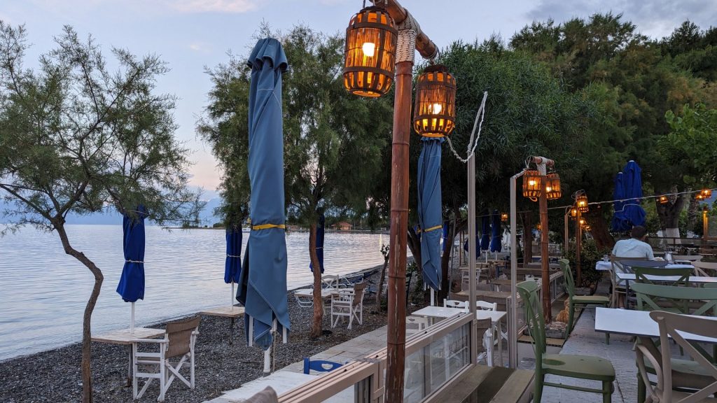
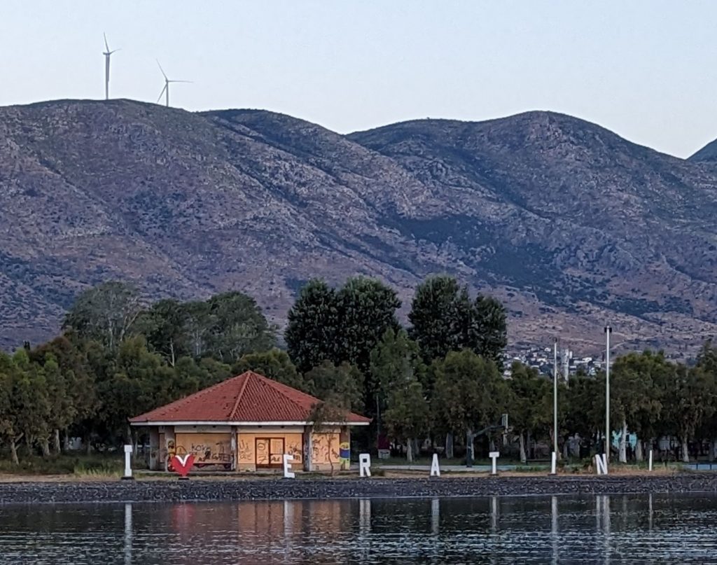
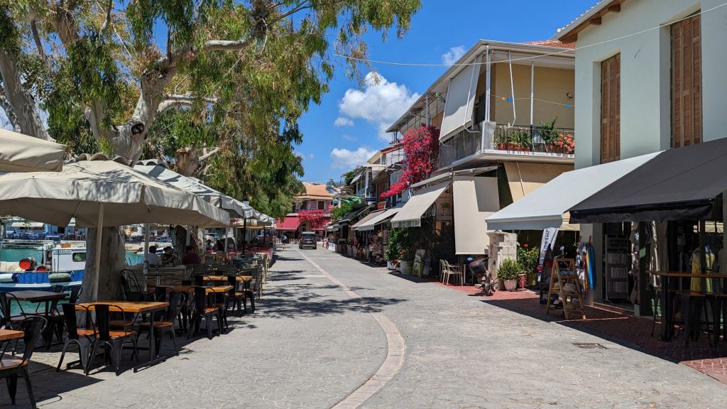
We did not make it all of the way through the Gulf of Corinth the first day. This turned out to be a blessing in disguise because we happened upon the loveliest small town when we set our anchor for the night. We arrived in time to have dinner.
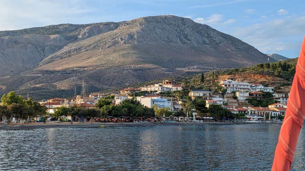
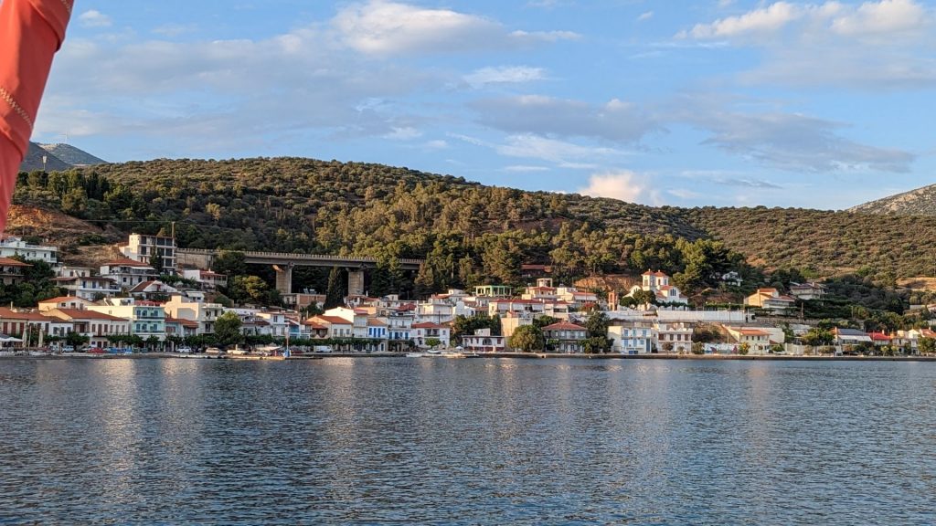
We took the dinghy to shore and almost immediately met “Sam,” who currently splits his time between New York and this small town (he is originally from Greece). He recommended a restaurant: Katina.
When we arrived, the owner of the restaurant came to the table. He brought a menu to us upon request and pointed out which items he still had available. He mentioned that what he las left for the evening meal depends on how lunch went. 🙂 🙂
He brought several plates of wonderful food to our table. It was an excellent meal!
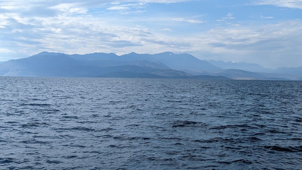
We still had 70 nm to go to our next destination, so we left rather early.
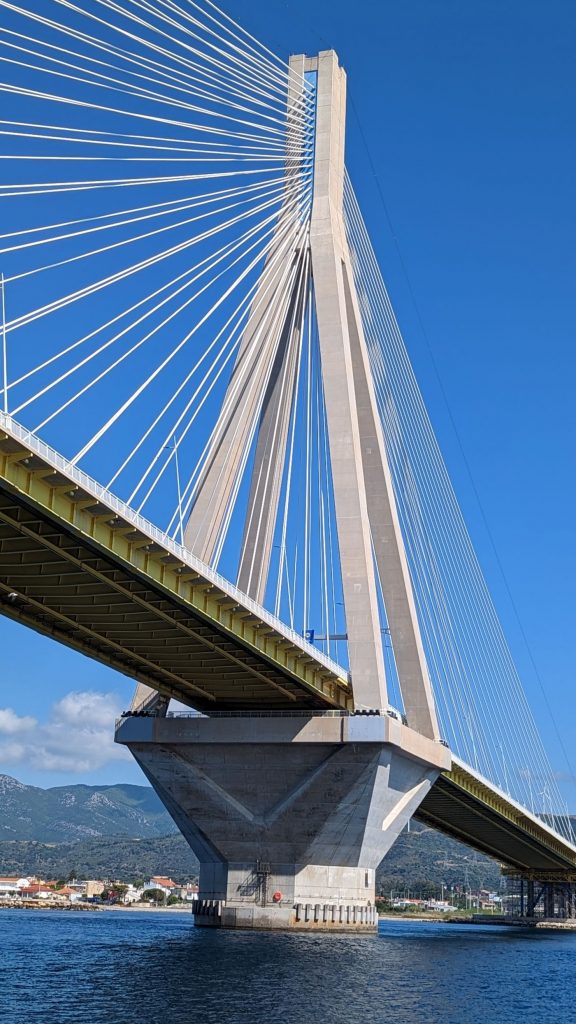
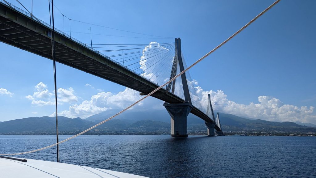
We had another exciting (to me) event to experience before leaving the Gulf of Corinth and entering the Ionian Sea: Seeing and going under this beautiful suspension bridge! (If you don’t get as excited about this as I do, bear with me or skip ahead. It’s all good!)
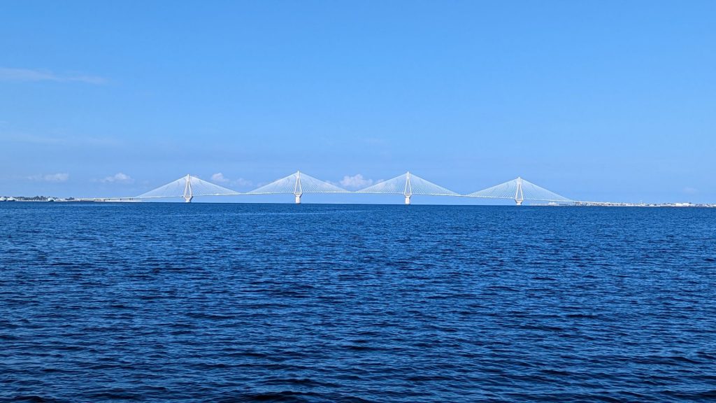
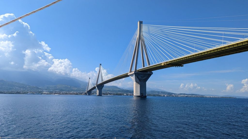
This is the Rio–Antirrio Bridge, officially the Charilaos Trikoupis Bridge. It is one of the world’s longest multi-span cable-stayed bridges and longest of the fully suspended type. It opened one day before the Athens 2004 Summer Olympics, on 12 August 2004, and was used to transport the Olympic flame.
Its width is 28 m (92 ft)—it has two vehicle lanes per direction, an emergency lane and a pedestrian walkway. Its five-span four-pylon cable-stayed portion of length 2,252 m (7,388 ft) is the world’s third longest cable-stayed deck.
This bridge is widely considered to be an engineering masterpiece, owing to several solutions applied to span the difficult site. These difficulties include deep water, insecure materials for foundations, seismic activity, the probability of tsunamis, and the expansion of the Gulf of Corinth due to plate tectonics.
Information about engineering feats from Wikipedia:
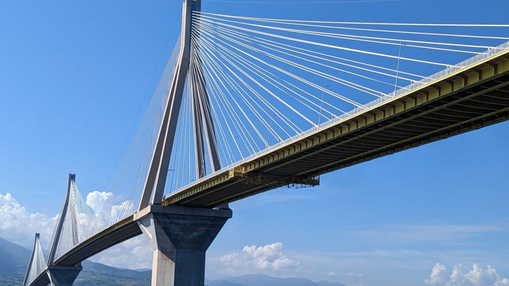
“Due to the peculiar conditions of the straits, several unique engineering problems needed to be considered and overcome. The water depth reaches 65 m, the seabed is mostly of loose sediment, the seismic activity and possibility of tectonic movement is significant, and the Gulf of Corinth is expanding at a rate of about 30 mm a year. In addition, the hills on either side create a wind tunnel where 70 miles per hour (110 km/h) winds are common.
For these reasons, special design and construction techniques were applied. Beneath each pier the seabed was first reinforced and stabilized by driving 200 hollow steel pipes vertically into the ground. The pier footings were not buried into the seabed, but rather rest on a bed of gravel meticulously leveled to an even surface (a difficult endeavor at this depth). During an earthquake, the piers can move laterally on the sea floor with the gravel bed absorbing the energy. The bridge decking is connected to the pylons using jacks and dampers to absorb movement; too rigid a connection would cause the bridge structure to fail in the event of an earthquake and too much lateral leeway would damage the piers. There is also provision for the gradual widening of the strait over the lifetime of the bridge. Protection from the effect of high winds on the decking is provided by the use of aerodynamic spoiler-like fairing and on the cables by the use of spiral Scruton strakes.”
Although I know squat about engineering, I still appreciated this bridge – both in terms of its beauty and the seemingly impossible task of building it. Even a layperson can appreciate it.
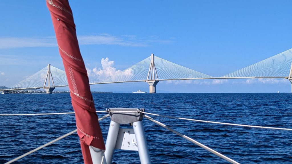
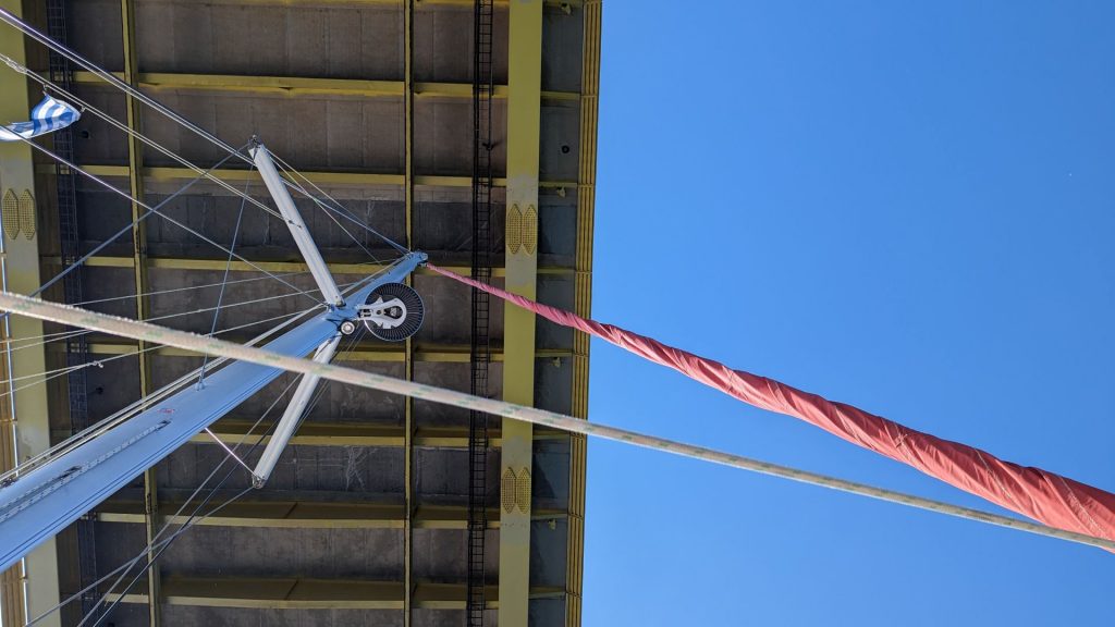
I am sure this is an optical illusion, but it looked like Seahike’s mast barely made it!
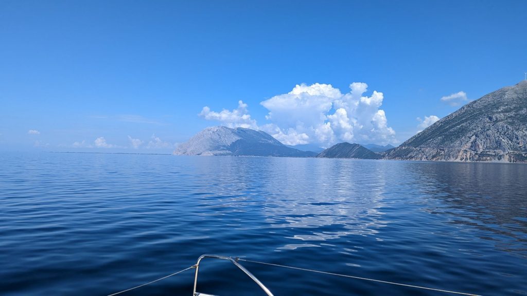
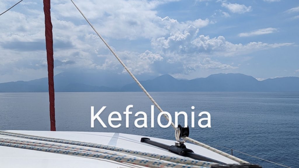
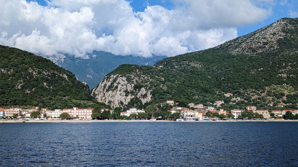
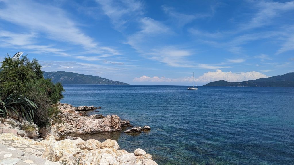
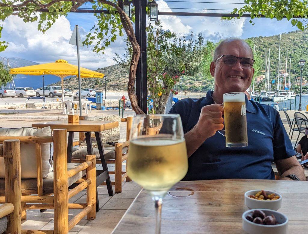
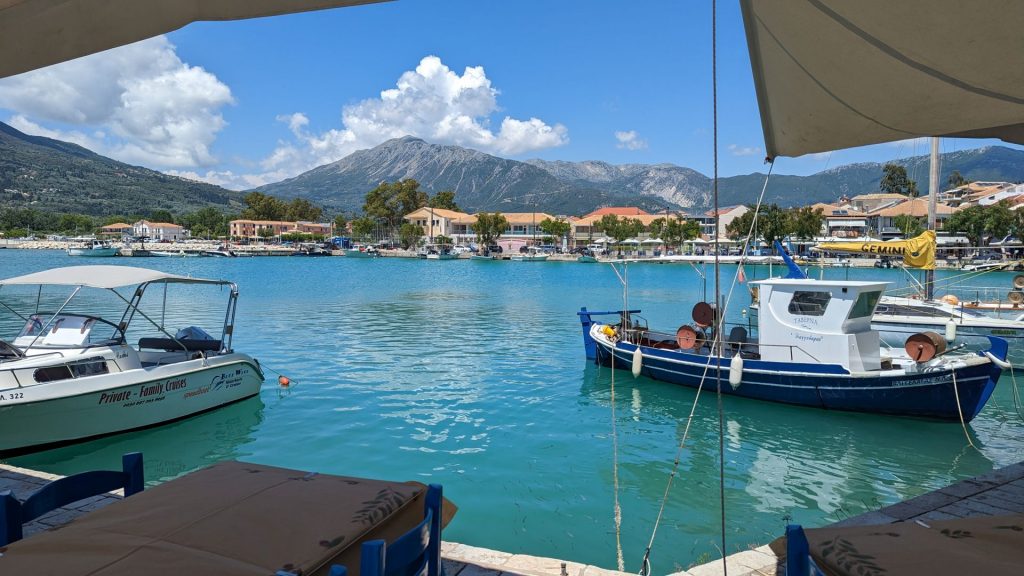
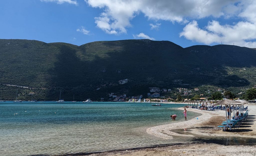
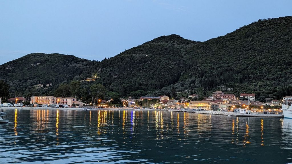
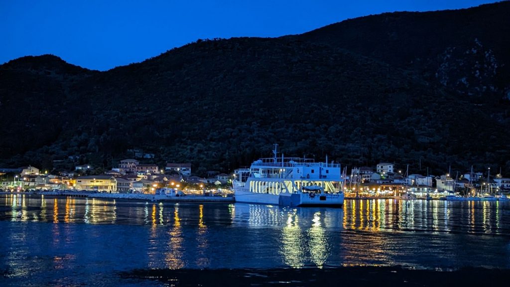
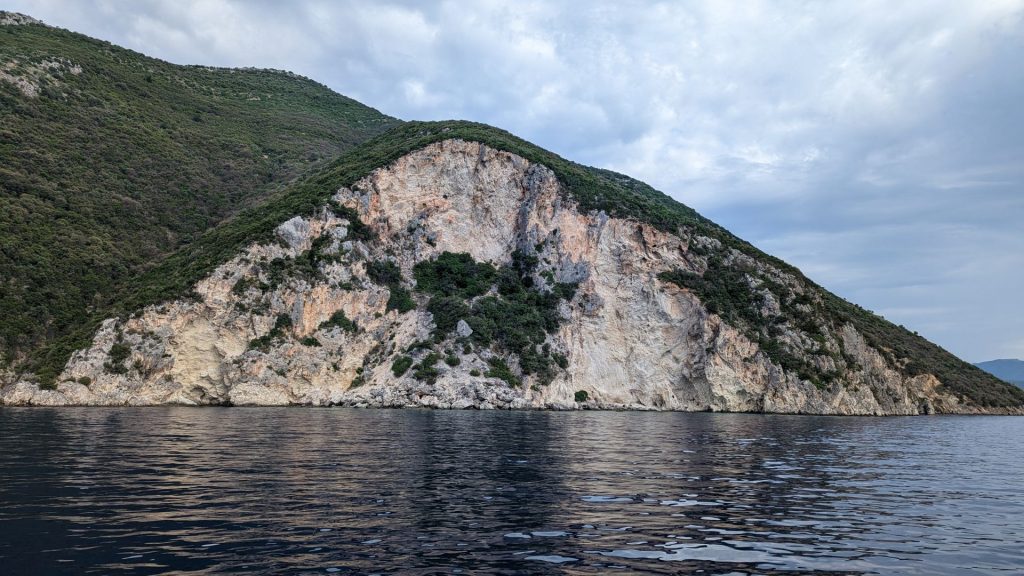
Our first stop in the Ionian Sea was Poros Kefalonia, selected largely because it was one of the closest towns to us.
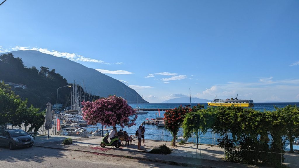
We didn’t do much in Poros except have dinner. Our next stop was near Eufimia, Kefalonia.
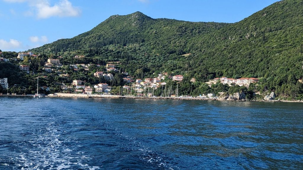
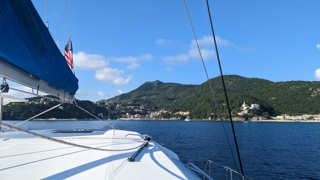
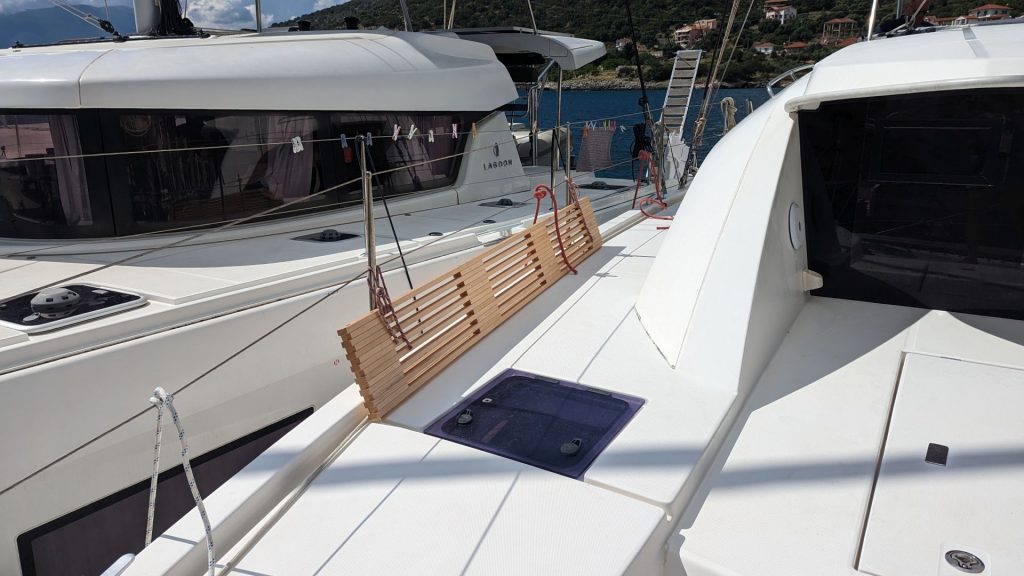
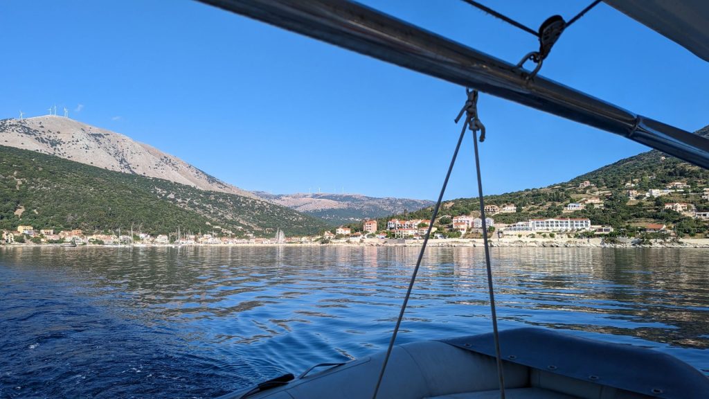
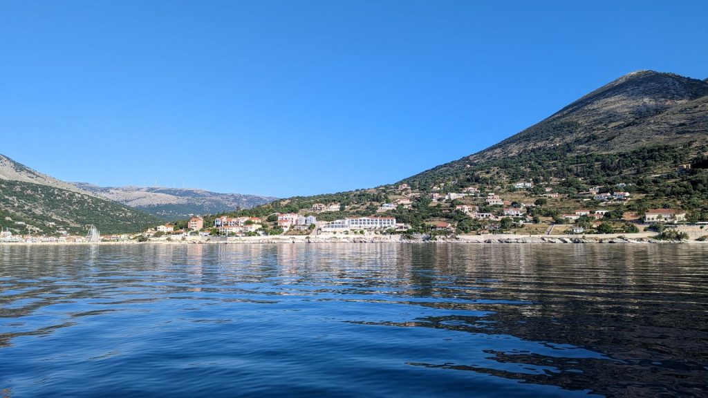
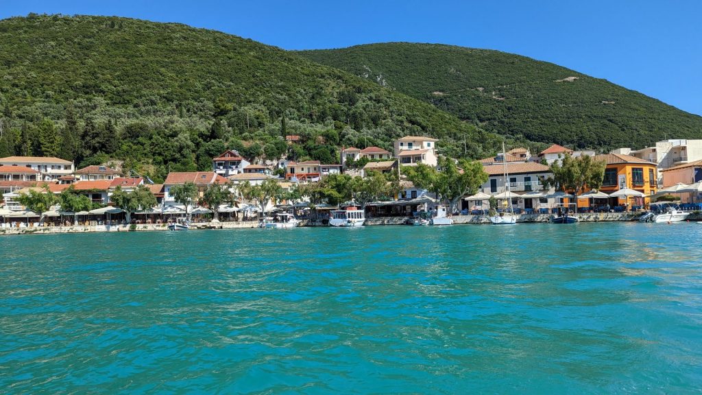
As we neared the harbor, we were instructed to raft-up with a catamaran that was already at the dock. This was our first time ever rafting up. It was easy as pie in the still waters. The folks on the other cat were very friendly.
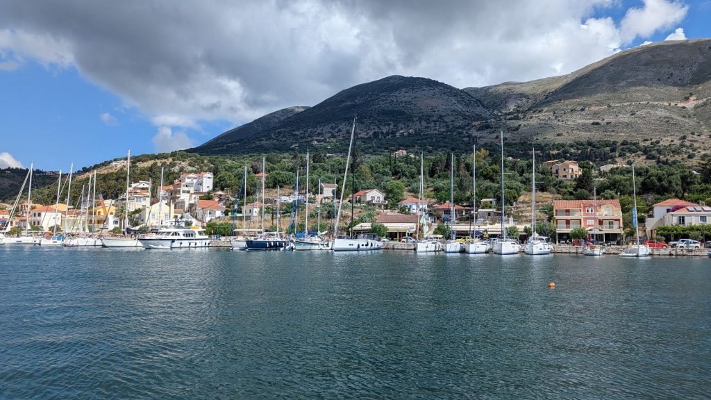
Views of the harbor from Seahike.
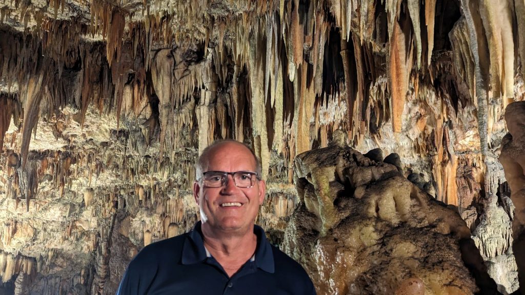
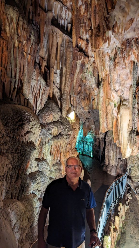
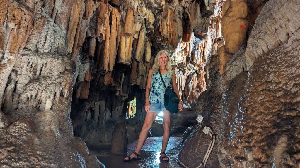
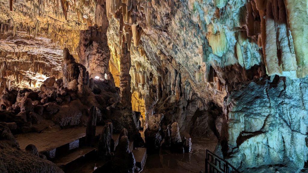
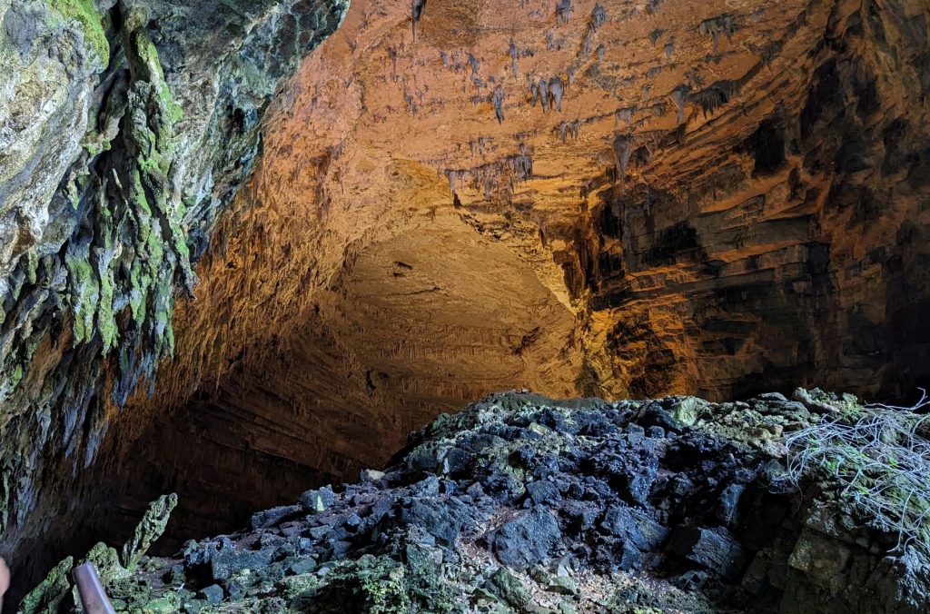
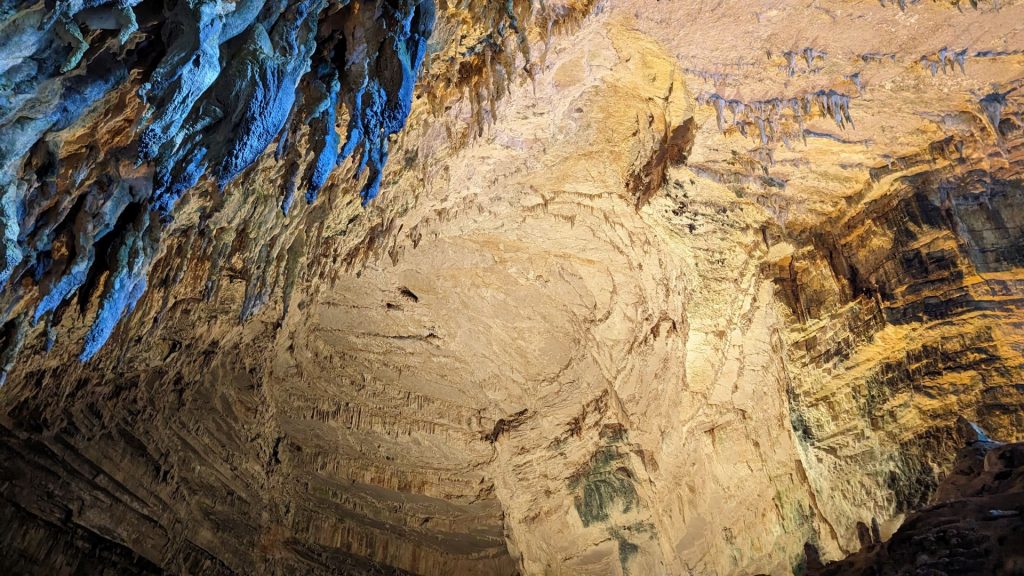
We had two things on our agenda: visit two caves. We found a taxi driver who agreed to drive us to the first cave we wanted to visit, wait for us, then take us to the second cave, wait for us, then drive us back to the harbor.
I’d read about both caves. Here are a couple of pieces of information about the first cave we visited:
Drogarati cave was discovered only 300 years ago when an earthquake destroyed part of the cave and thus created an entrance. Drogarati was explored by the speleologist Yiannis Petrochilos and his wife Anna. They entered the cave with ropes and ladders.
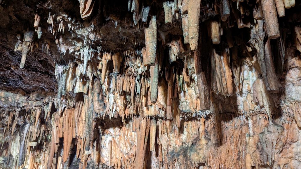
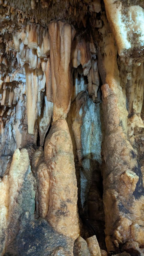
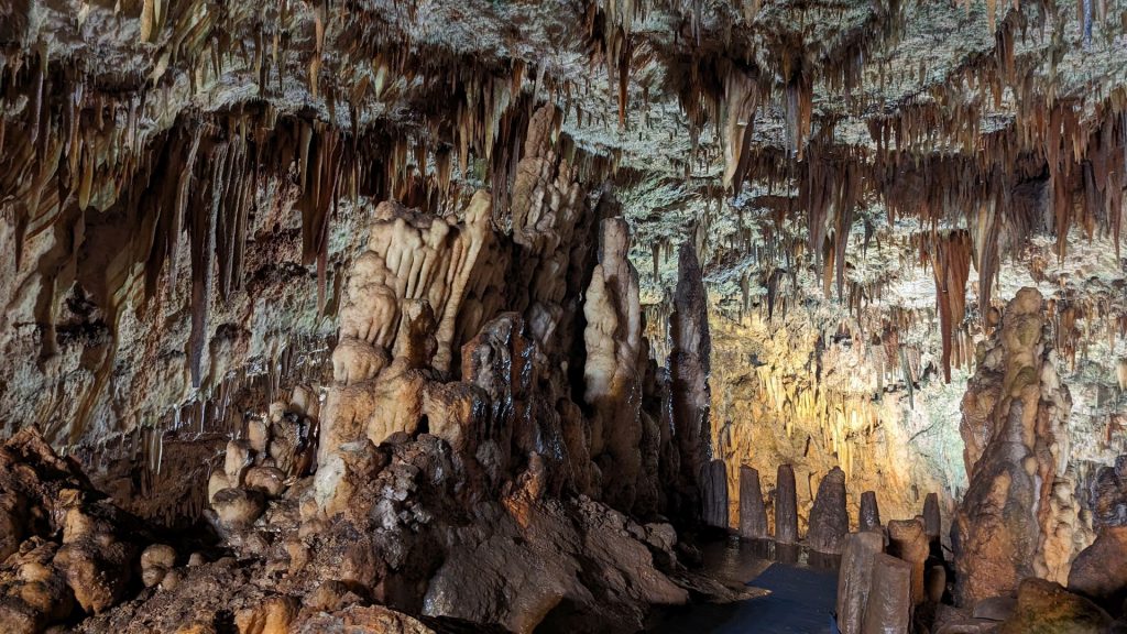
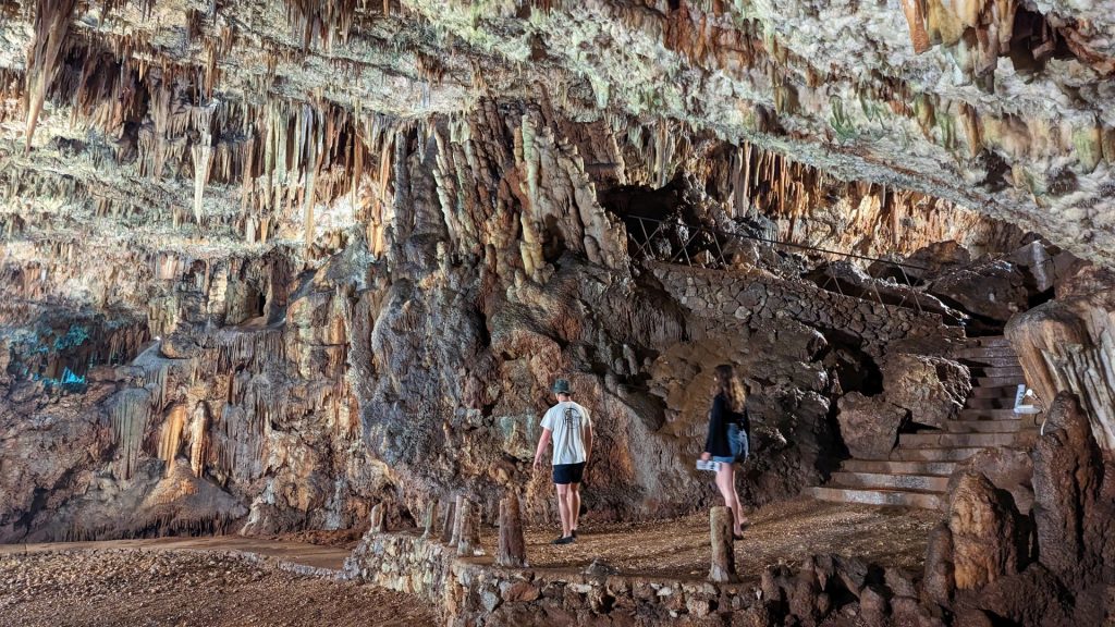
The descending steps lead to a depth of 60 meters. We were immediately surprised and amazed by the vastness of the cave. It has a size of 65 x 45 meters and a height of 20 meters. Nature created countless stalactites and stalagmites. Their different colors are the result of the minerals in the bedrock. When rainwater filters through the bedrock and drops down to the ground, the lime deposits in the water create stalactites growing downwards from the roof and stalagmites growing upwards from the bottom.
According to speleologists, Drogarati cave is over 100 million years old. Visitors are instructed not to tough the stalactites or stalagmites. They grow approximately 1 cm in 100 years.
There is a natural platform in the cave. It is called the Royal Balcony. The acoustics are fantastic. Concerts have been held in the cave!
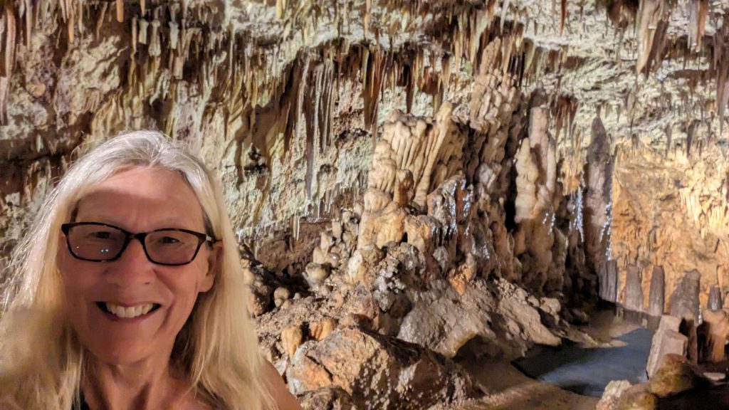
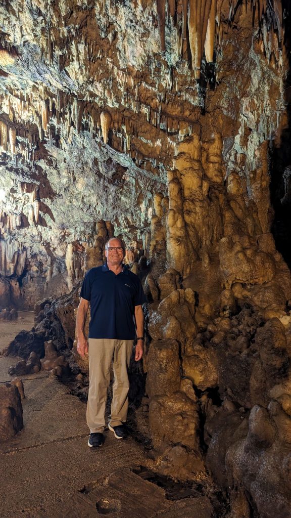
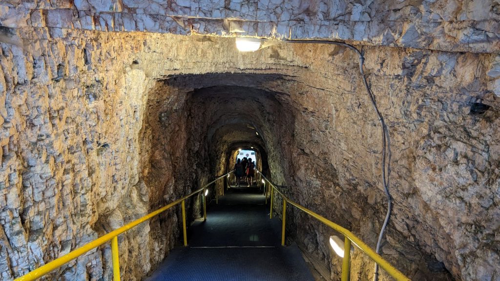
Here are some pictures. We included ourselves more than usual to try to show just how big everything in the cave is.
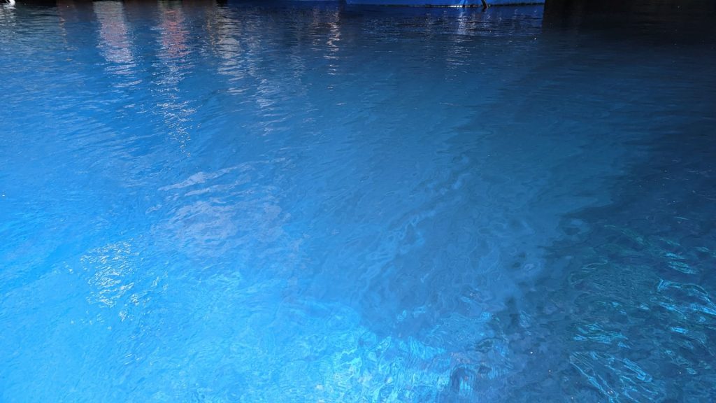
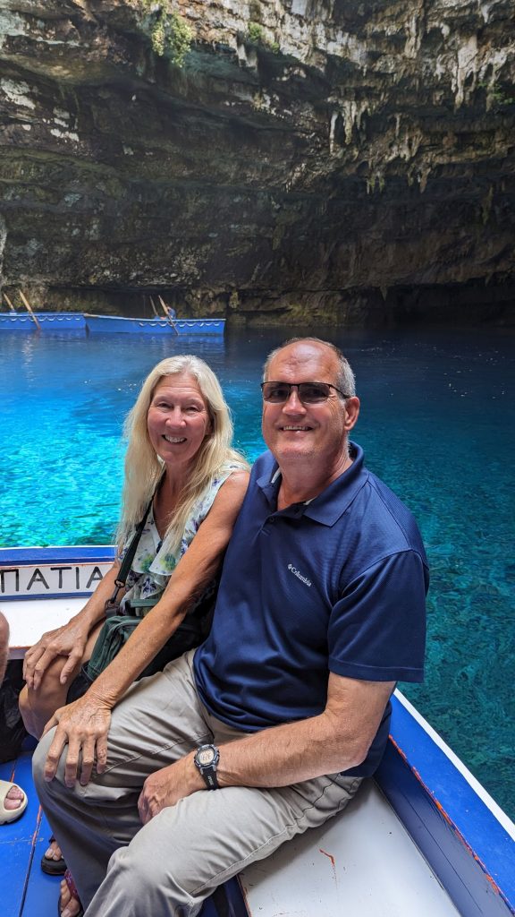
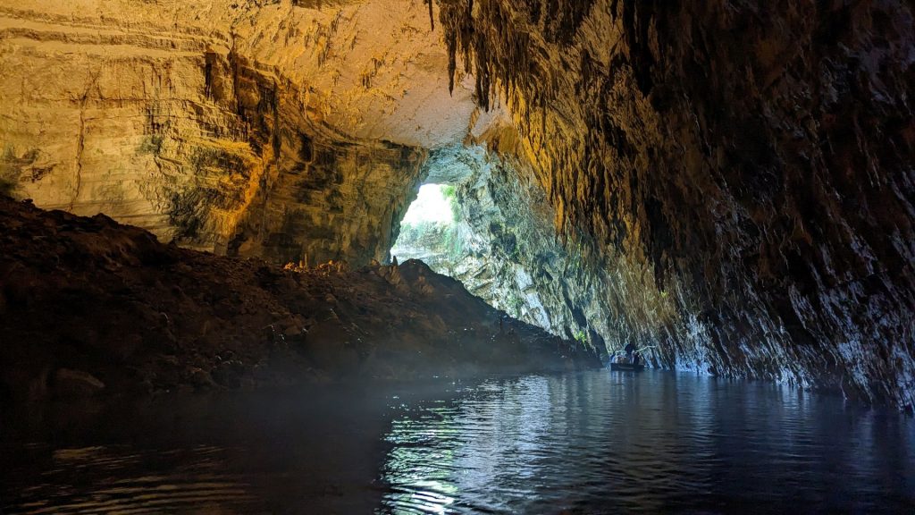
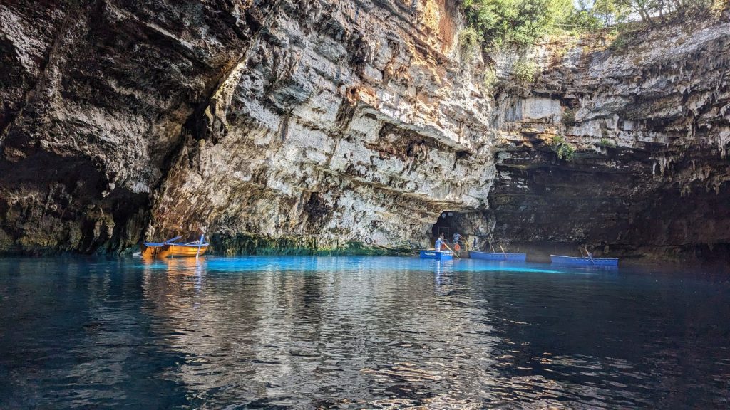
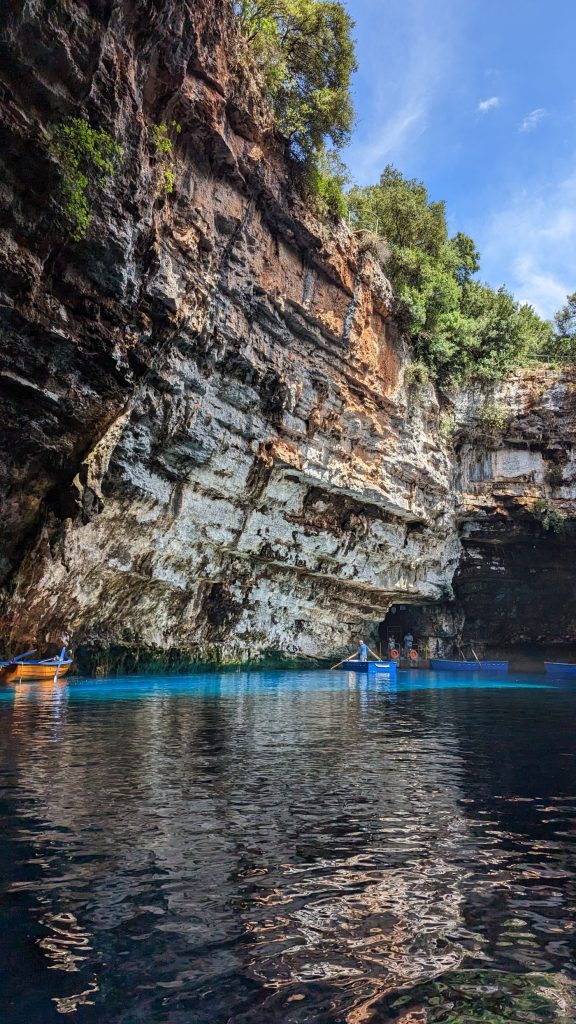
Our next visit was to Melissani Lake and cave, just a hop, skip, and a jump from the first cave. In this case, we walked down a short walkway to get to the lake/cave. We then boarded a small rowboat to visit the cave.
The second thing I did (after looking at the blue water) was look up. The light that comes from the huge hole at the top gives the water a beautiful blue glow.
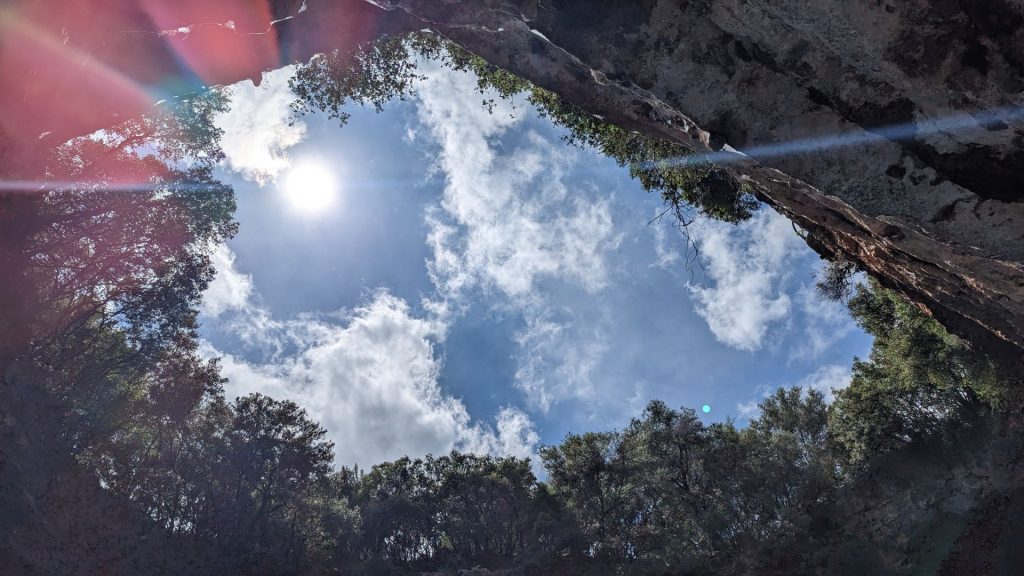
Check out the color of the water where the sun hits it!
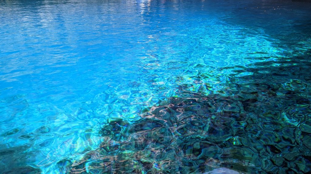
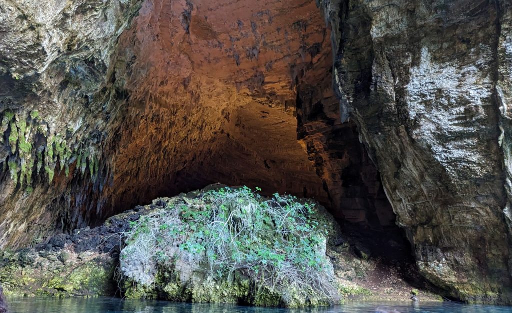
Farther into the cave:
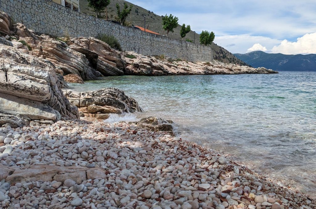
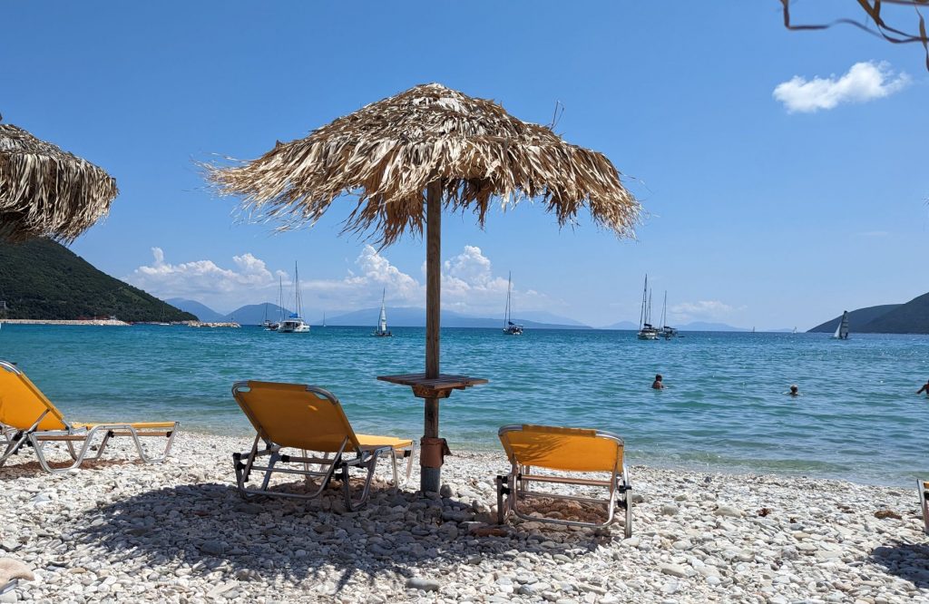
Michael’s leg needed a little rest after visiting the caves so I visited the very small pebble beach next to the harbor.
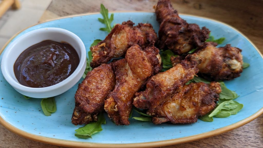
Michael then joined me and we went to a restaurant and ordered – belief it or not – chicken wings! We were curious to see how they compared to what one buys in the US. Exactly the same.
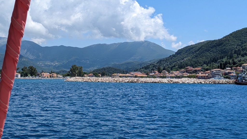
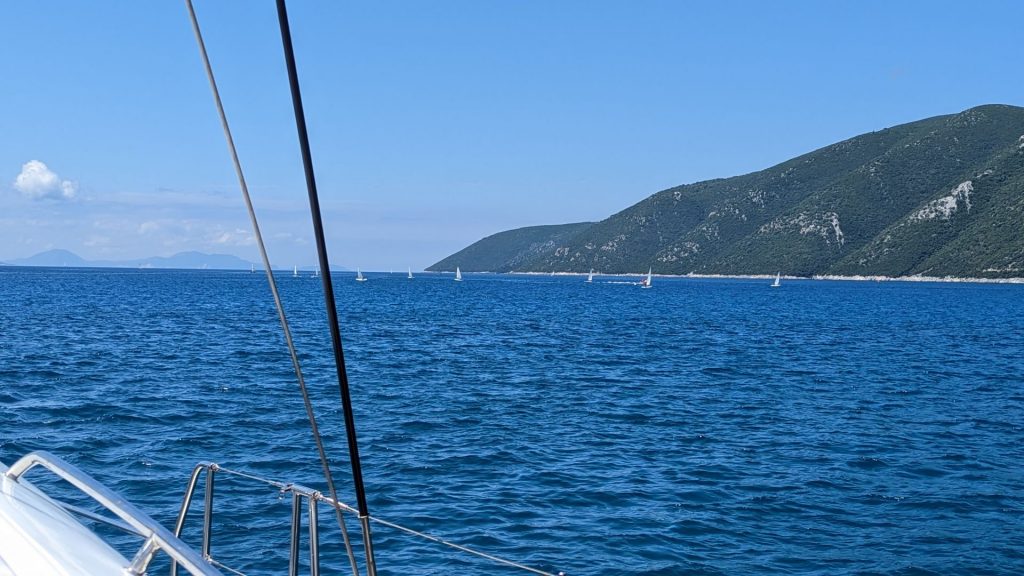
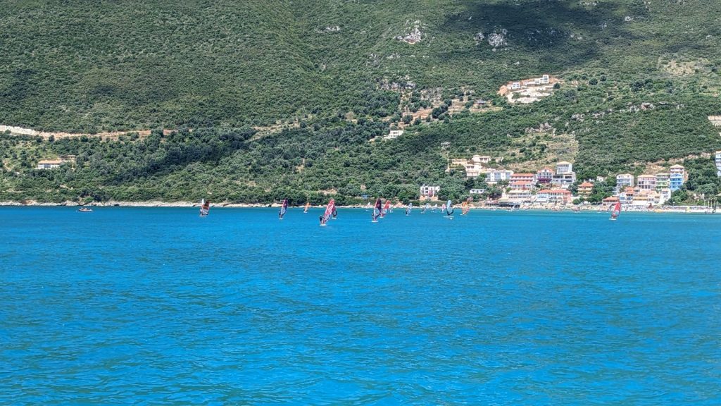
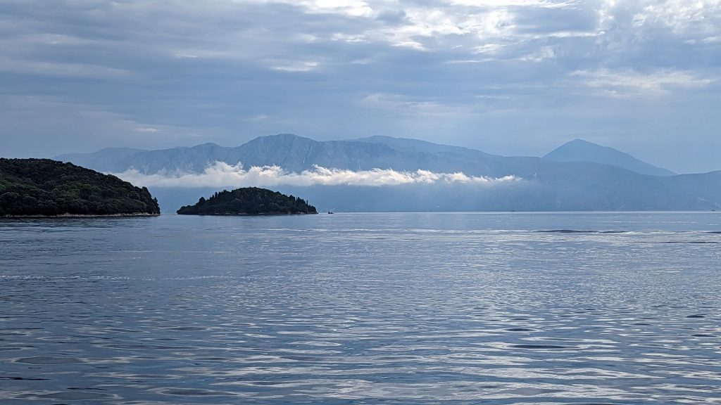
It was June 13 now and we were on schedule to reach D-Marin Marina in Lefkas (at the northern end of the island) by June 15. One more stop first: Vasiliki. So we left Kefalonia the next day and took the short 22 nm trip to Vasiliki.
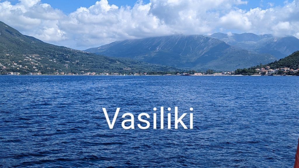
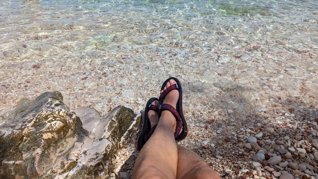
Michael stayed with the boat to rest his leg and I took the dinghy to the dock and walked along the street and beach until I found a friendly beach chair.
And just like that, it was morning and time to head to the marina.
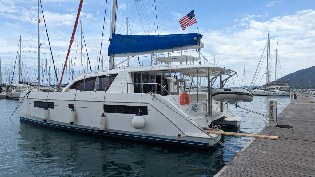
We made it to D-Marin Marina in time. We were aiming for June 15 so we had a day or two to do some cleaning and packing before heading to Athens Airport on June 17.
We finally got to use our passerelle!
It was a long trip to MN, with two stops and one very long (11 hours) layover. We arrived mid-day on June 18. By 6:30 a.m. on June 19, I was sitting in our neighborhood coffee shop. Love!! Let the visits with friends and family begin!

We will fly back to Lefkas on July 8th. We are excited that Jennifer, Michael’s daughter, will be joining us for two weeks!
You are truly living the dream! Your posts are very special with a lot of history.
Jennifer was a neighbor of ours in Winton, MN, for many years. I hope it is ok with you if we follow along?
Terry and Anne
Terry and Anne,
Yes, please follow us! We love sharing our adventures! We are having a wonderful time with Jennifer. 🙂 🙂
Cindy