The last post, which was about my sister’s birthday, also included information about the first part of our final road trip in Cyprus. This post contains info about the rest of our trip.
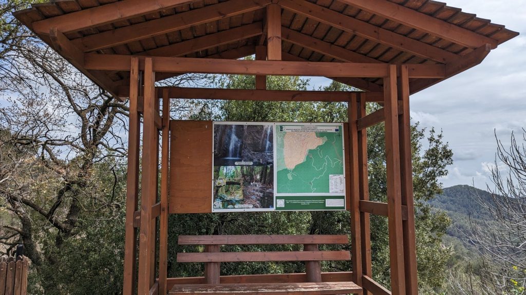
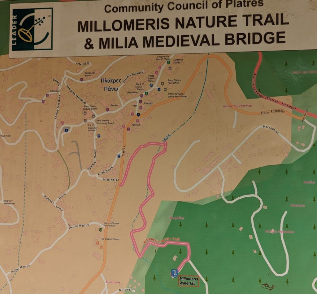
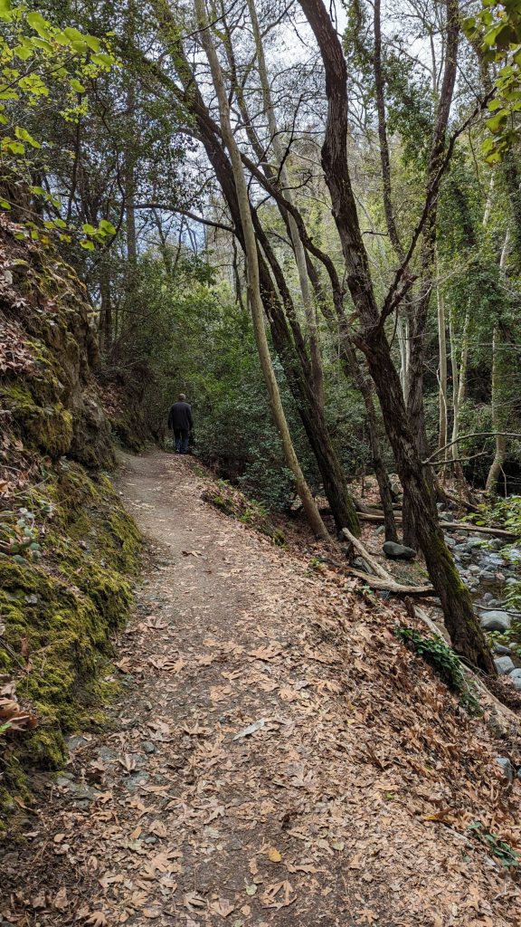
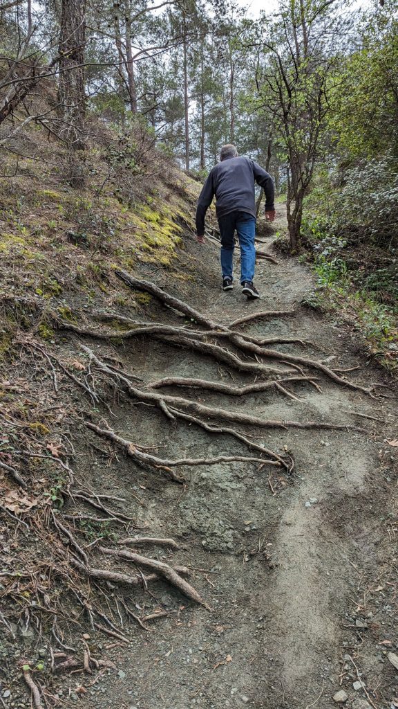
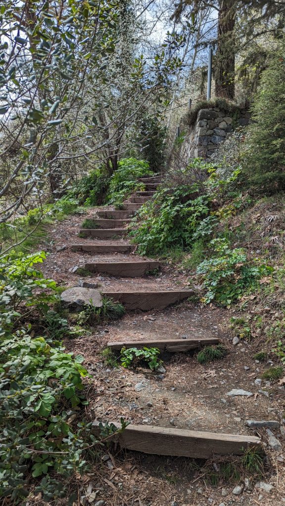
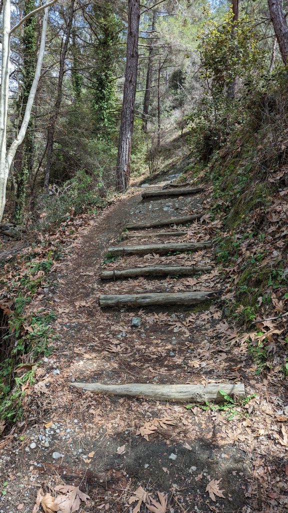
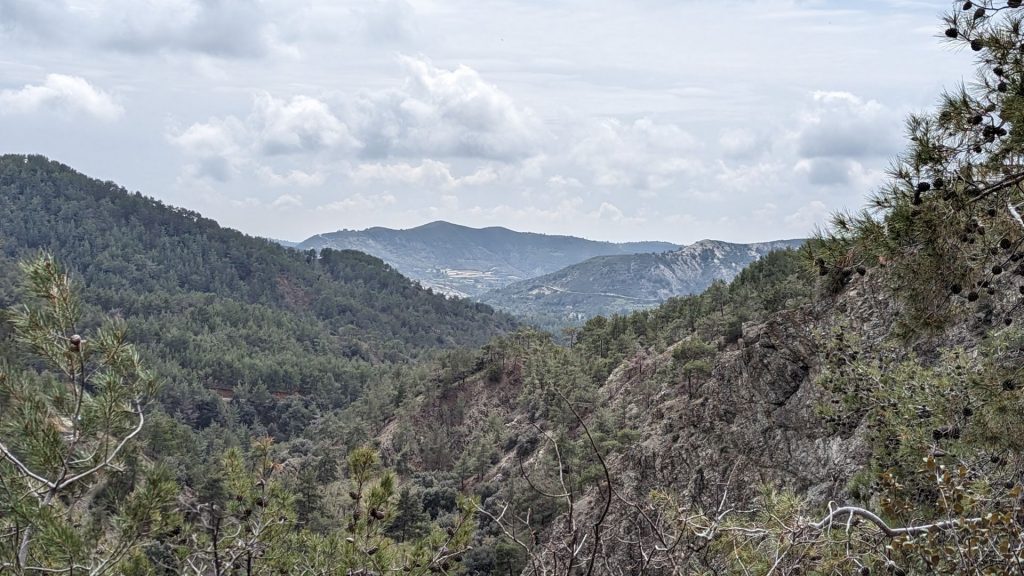
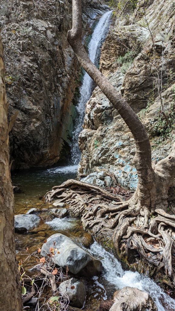
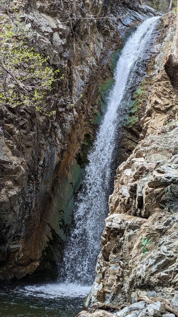
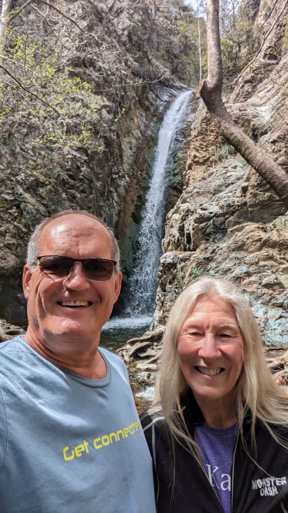
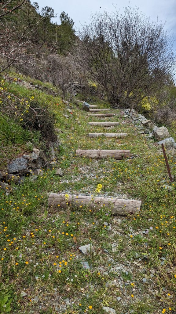
On my sister’s actual birthday, March 23rd, we went for a hike. We actually went for several hikes on this road trip. This is the “hike” part of “Seahike.” The trail we hiked on March 23rd was the Millomeris Waterfall Trail. We chose this because it was about the right length (2.4 km round trip) and ended with a waterfall at the turn-around point. There are several hikes in Cyprus that end with a waterfall, so you have choices should you choose to hike here.
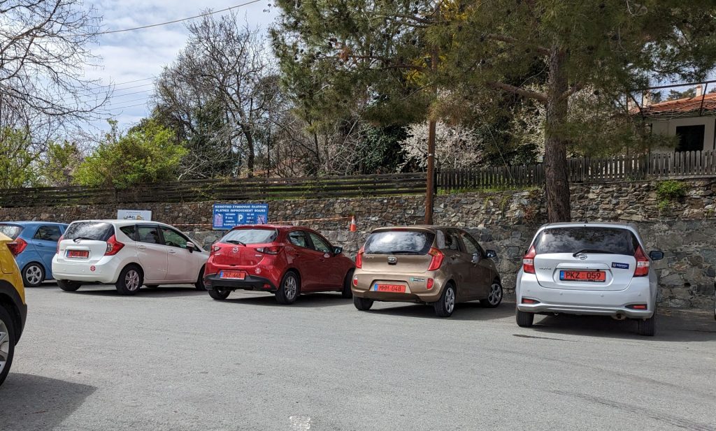
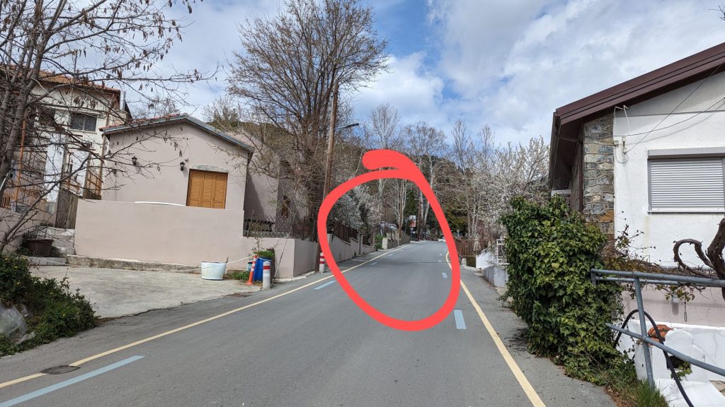
The instructions told us to park at the Platres Athletic Center, but Google Maps couldn’t find it, so we parked at the first “free parking” sign we saw and walked downhill about 50 meters to the sign that marked the trailhead. (I should note that a couple of hours later the parking lot was full, and we were there in the off season. If you are going to take this hike, you will want to get an early start.)
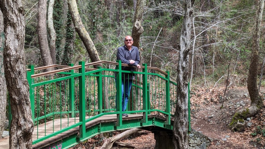
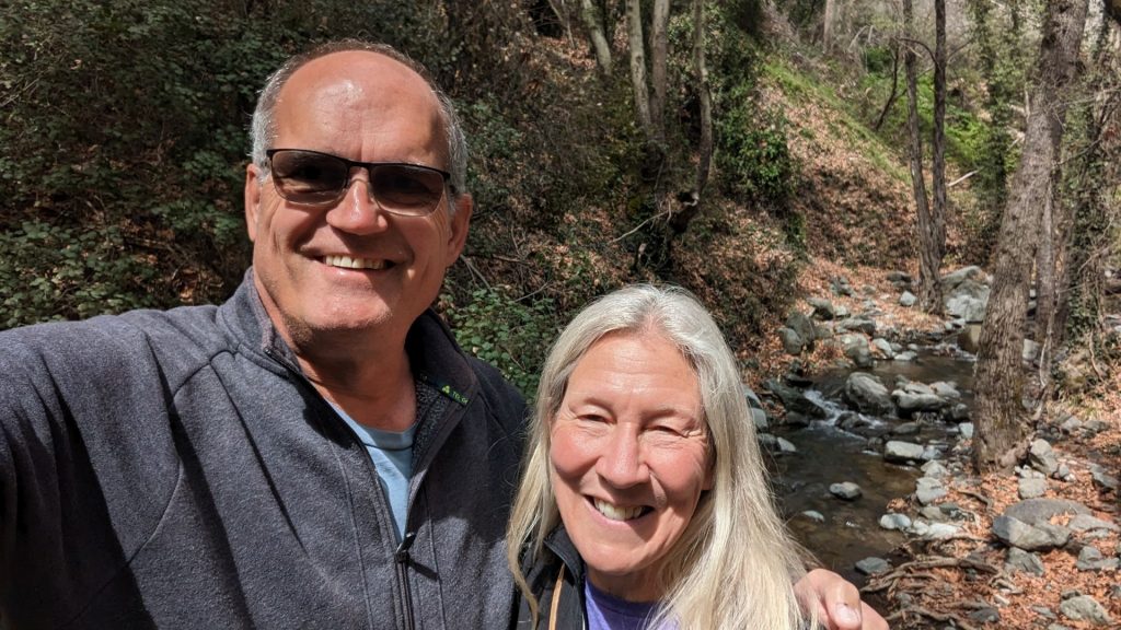
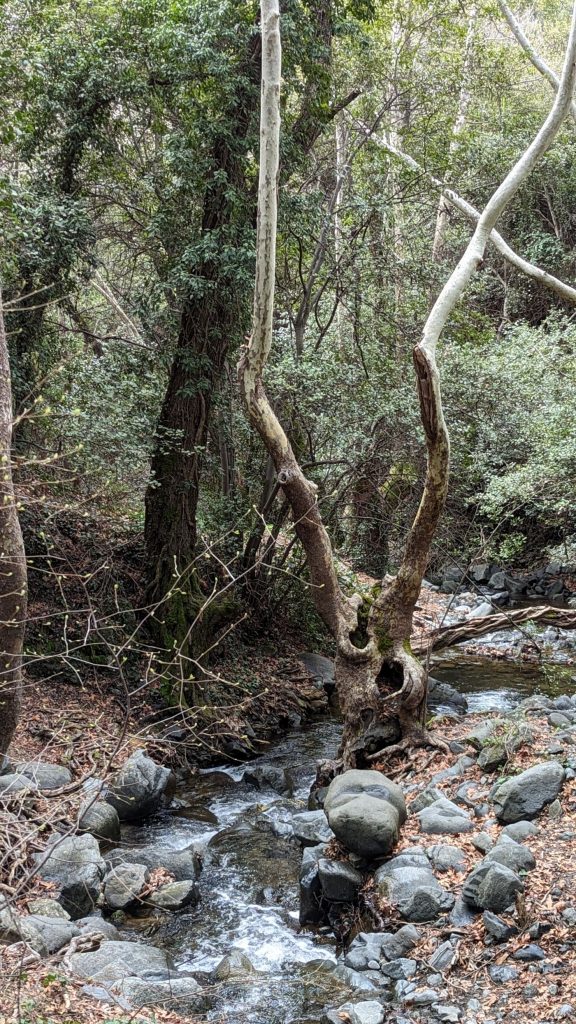
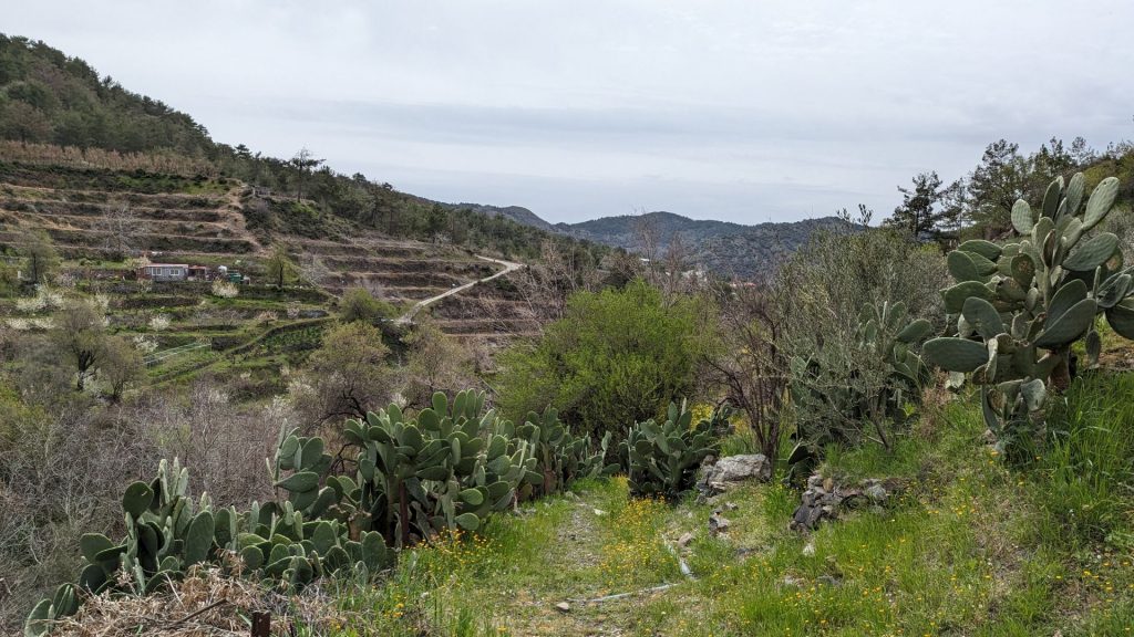
There were no surprises on this trail. No rock hopping. No boulders. Just a nice trail. There were uphill and downhill portions, but what respectable trail doesn’t have those? We walked by a babbling brook for quite a while before heading uphill and away from it. It is a beautiful trail and the waterfall is a treat for the eyes and spirit.
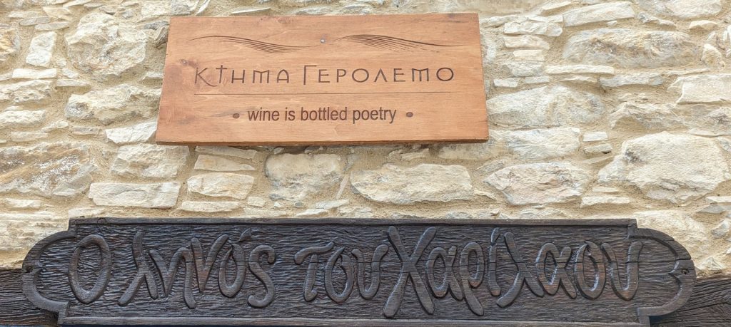
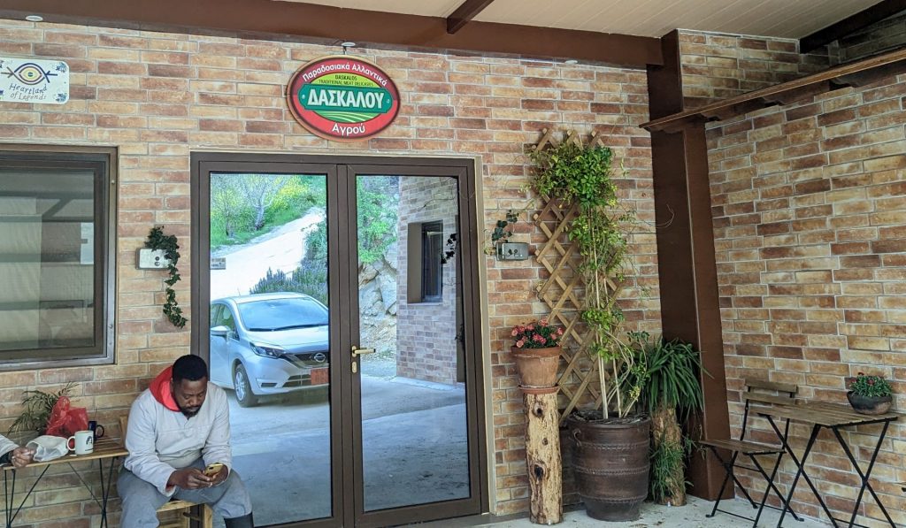
We had planned to go to the Lambouri Winery after the hike, but when we arrived (we didn’t call ahead), they were waiting for 60 people to arrive for a tasting so we had to go elsewhere. We found a place in a little mountain town (all of the mountain towns are small). The woman who worked there is from Greece but relocated to Cyprus. We tasted five wines and purchased a bottle or two. I can no longer recall whether we bought one or two, but I know we bought a bottle of Zivania (43% alcohol, barrel aged drink distilled from selected grapes) from this store. This place isn’t actually a winery, but they provide tastings and sell the wine they make in their winery outside of town.
It would be easy to miss this little store. Love the sign!
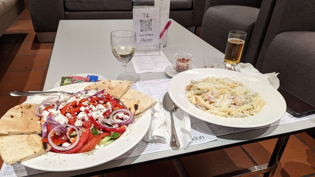
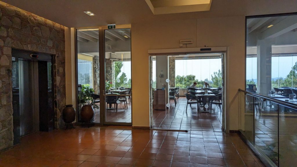
We stayed at the Rodon Mount Hotel and Resort that night. We hadn’t decided what to do the next day so we ended up staying at Rodon for two nights. It is a very nice hotel. It has a pool, tennis court, basketball court, sauna, two restaurants, lovely open seating areas, and a bar. Breakfast and parking are included in the price, which is very low in the off season. They serve buffets for every meal. If the buffet isn’t open, you can order off the menu from the open seating area or use room service (which is only four euros extra).
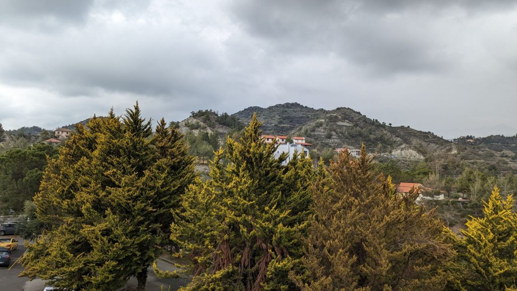
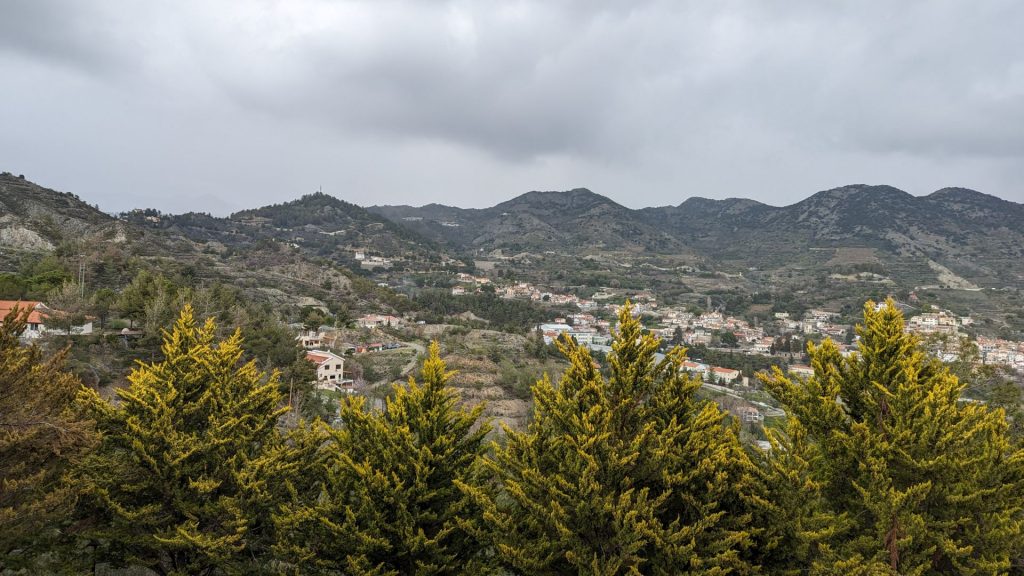
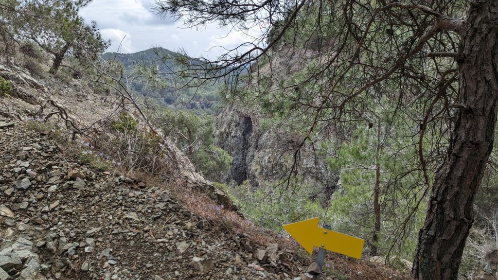
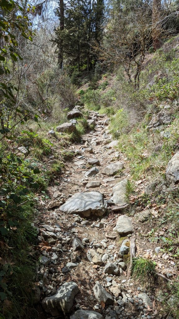
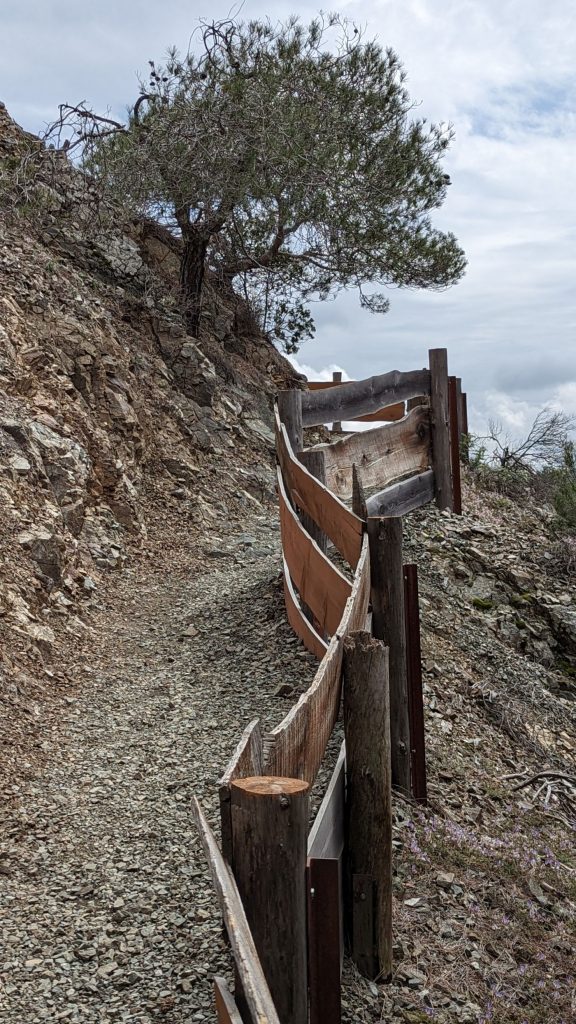
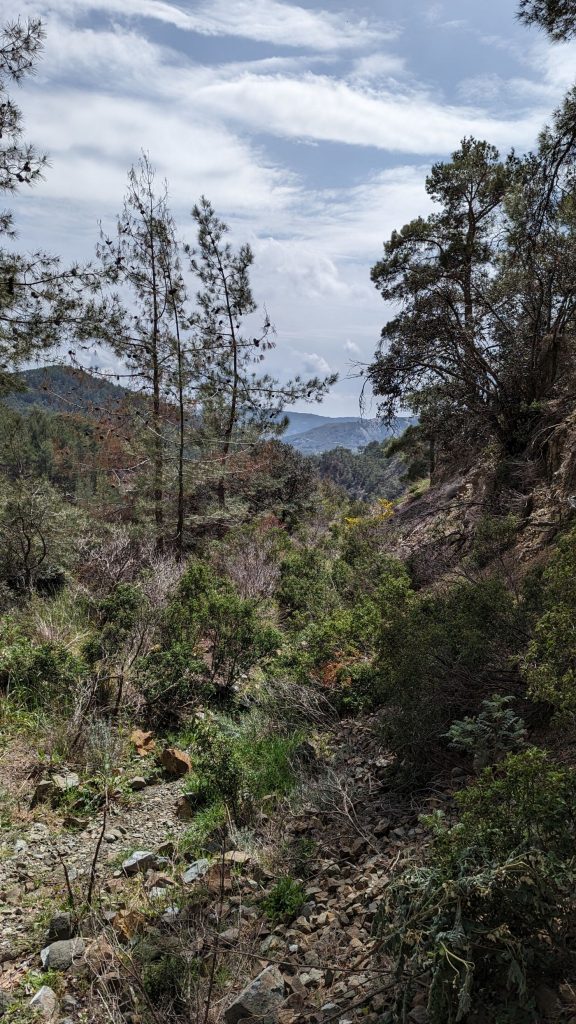
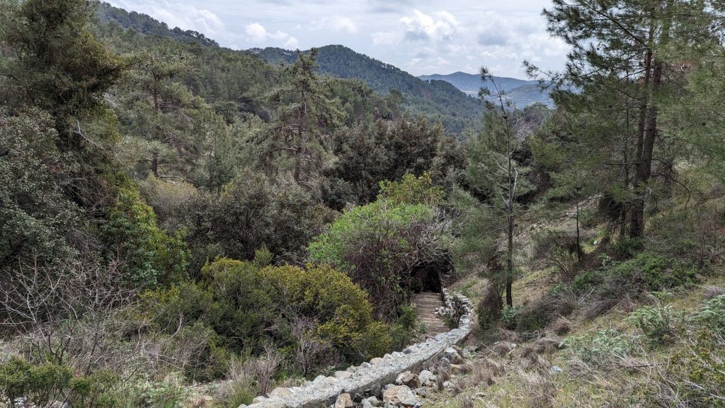
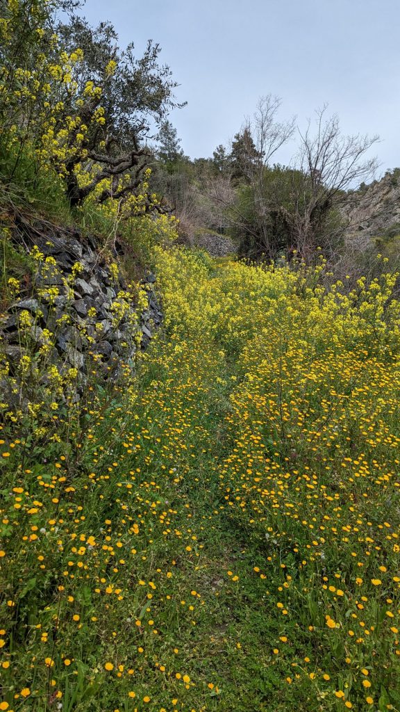
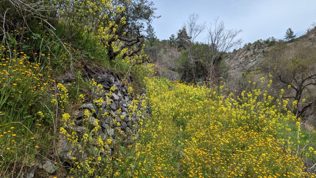
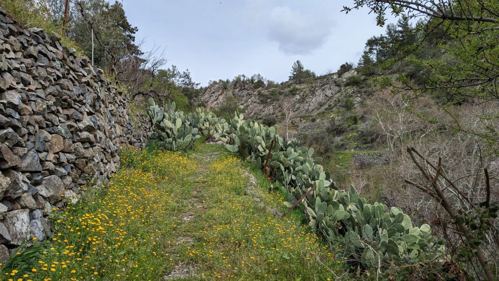
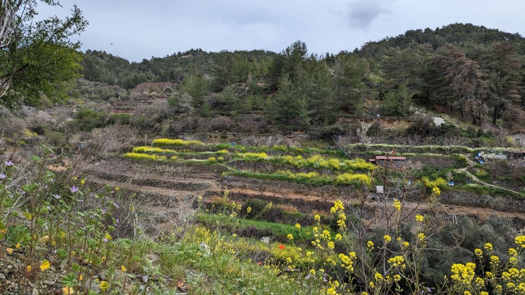
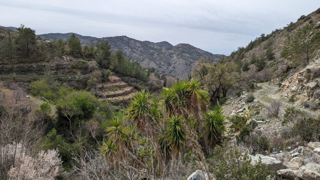
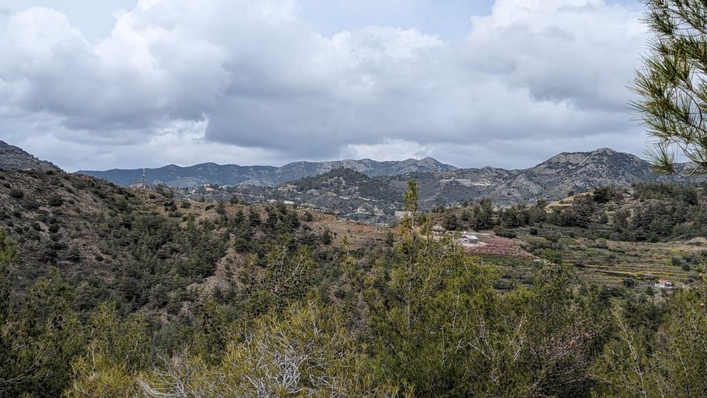
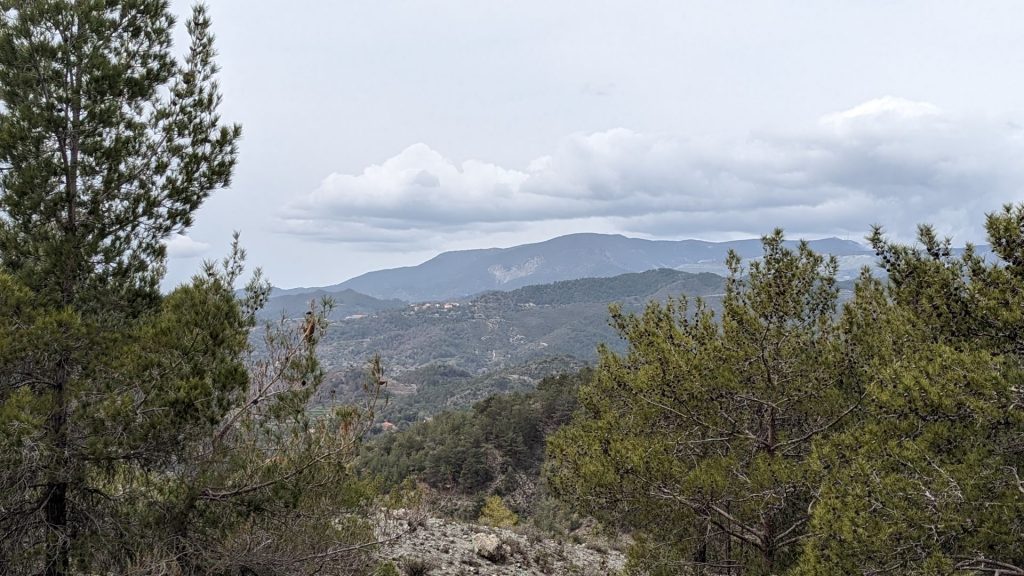
We decided to do another hike the next day and – you guessed it! – visit another winery. This hike was completely different from the other two. The “Ais Giorkis” nature trail is a 3 km loop trail. The trail received its name from the area of “Agios Georgios” (Saint George) which the trail passes through. It is considered to be an easy trail. Michael might disagree, but he has heart disease, so . . . As for the views, you see the picturesque village of Agios Ioannis in Pitsialia, mountain ranges, vineyards, numerous types of trees including fruit trees, pine forest, and more. It is a beautiful hike and we highly recommend it.
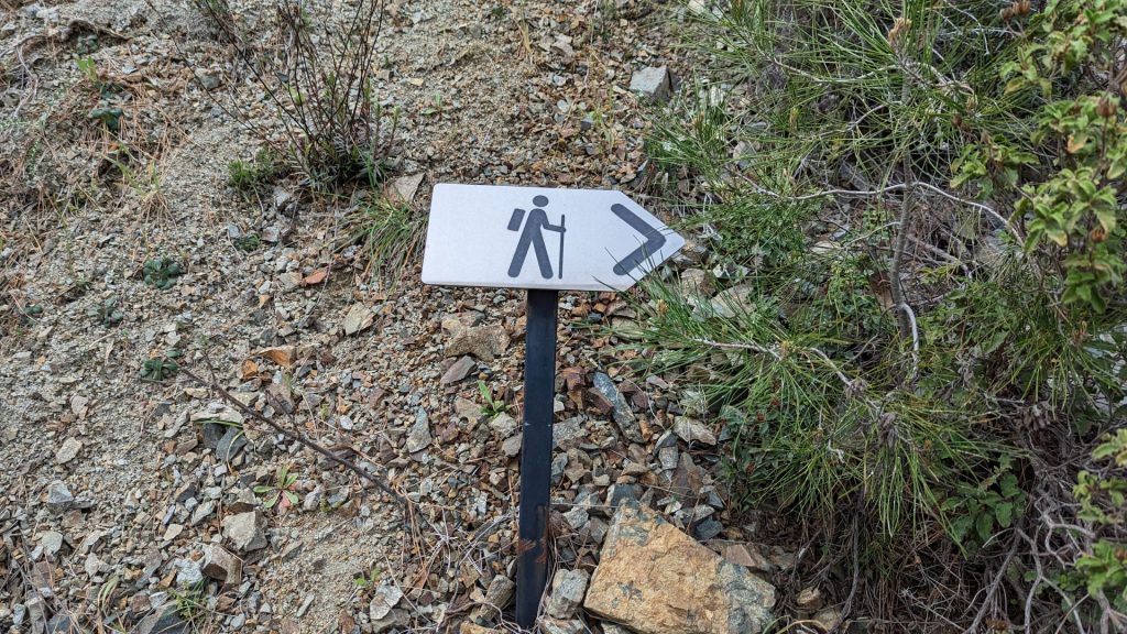
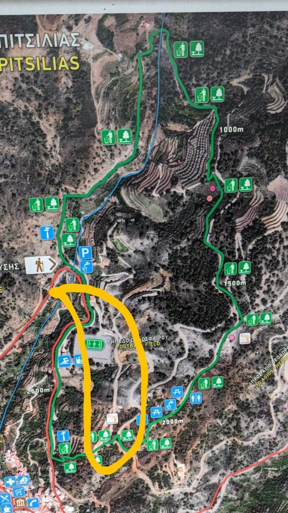
One issue: the signs that point you where to go are lacking. In some cases the signpost is there but the sign is missing so you aren’t sure which direction you should go. This happened a couple of times but we figured it out by just going forth and looking for the next sign (which sometimes meant going the wrong way for a time and backtracking). Toward the end of the trail, we either missed the sign(s) entirely or they weren’t there. We ended up walking along a road. All was well, though: we’d seen plenty of beauty on the trail.
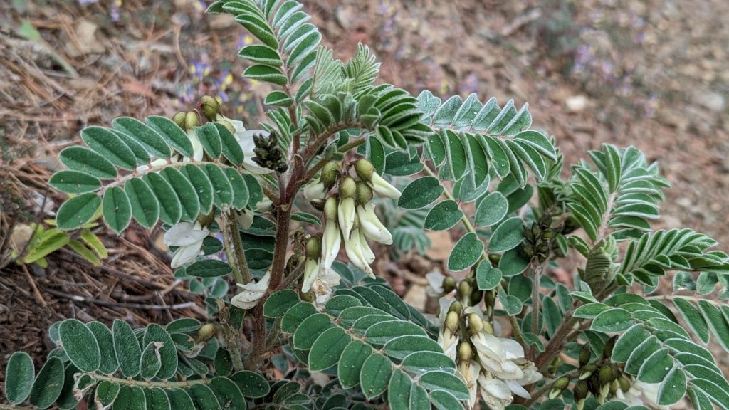
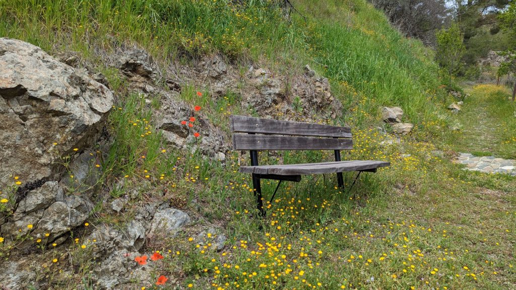
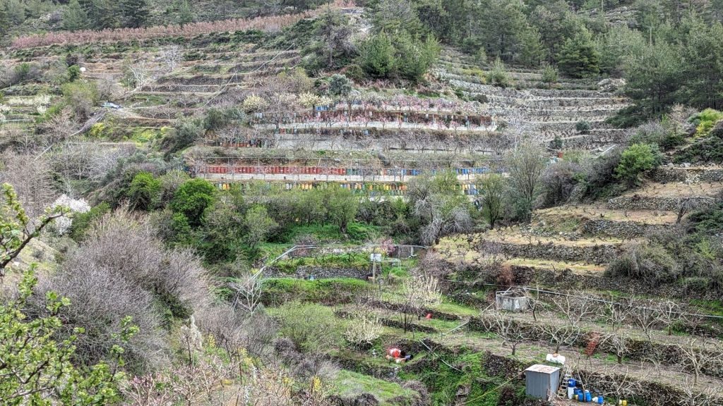
Some pictures:
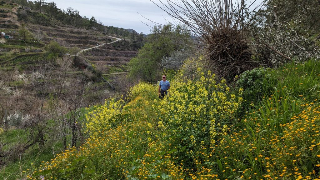
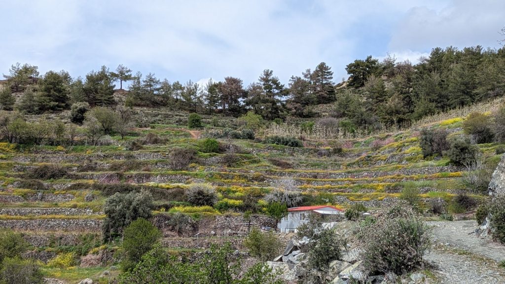
The terraces to the right side of the picture are quite far apart height-wise, so they use ladders (you can see one) to climb from one layer to the next.
This is a map of the trail. The green line is the actual trail and I outlined the route we took at the end in yellow. As you can see, we didn’t miss a lot of the trail. And we were satisfied with the hike.
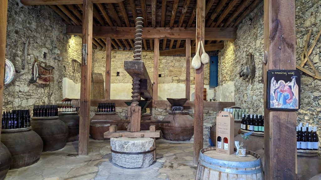
We found this little out of the way place that is actually known for its meats and tasted the wine liquor they make. And . . . we bought a bottle.
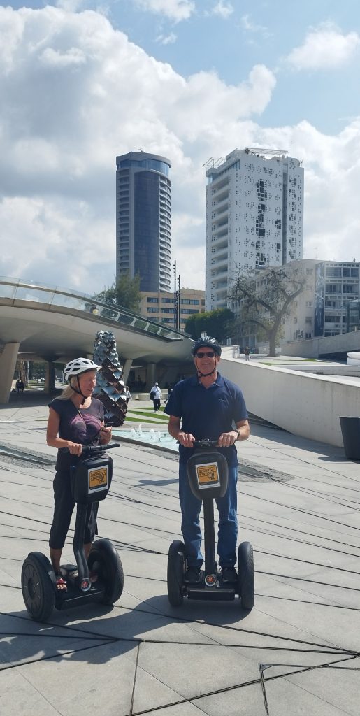
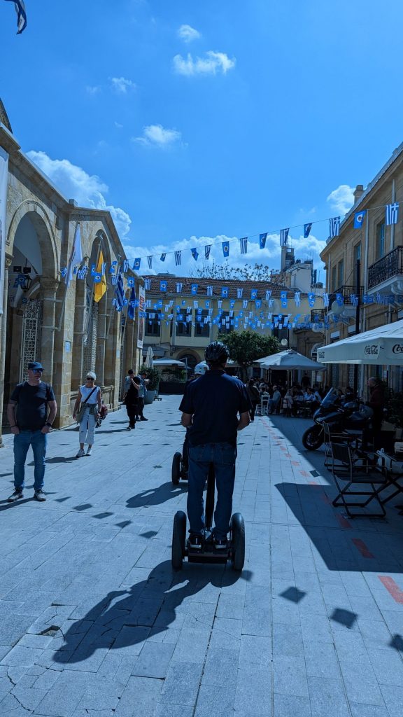
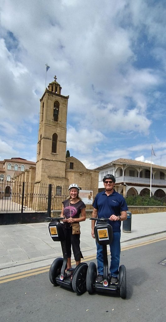
We’d signed up to do a Segway tour of Nicosia the final day of our trip. We’ve only done one Segway tour before: in Paris in 2003. We had a great time there (with several of our friends) and decided it was time to do it again.
We were supposed to arrive at 10:30 a.m. Unfortunately, several of the streets in Nicosia were closed so we drove around for at least 25 minutes trying to find the meeting point. We called our guide and he told us not to worry, which made me think we were the only ones on the tour. We finally parked the car, marked its location on Google Maps so we could find it again, and walked the rest of the way to the Segway Station (meeting place). Yes, we were the only ones on the tour. There are SO many benefits to traveling in the off season!!
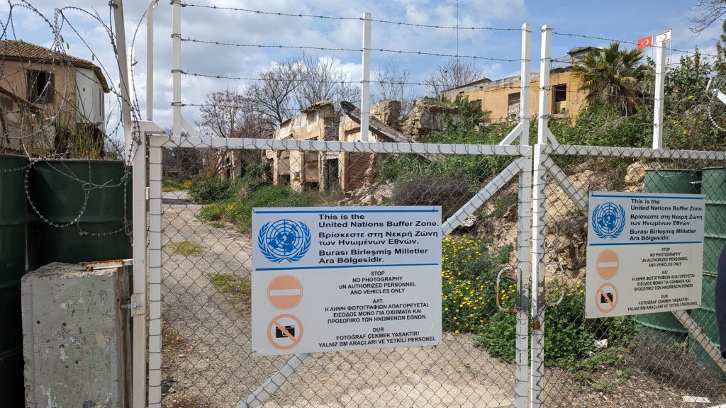
For those who don’t know, Nicosia, Lefkosia in Greek, is the divided capital city of Cyprus. Turkey invaded Cyprus in 1974 and illegally occupies the northern part of Nicosia as well as the northeastern part of the island (37% of the island) to this day. No country or entity – other than Turkey – recognizes northern Cyprus as part of Turkey. The international community considers the entire island to be part of the Republic of Cyprus. We’ve met numerous Cypriots whose land was taken over by the Turks and/or who have a family member or know of someone who was killed during the takeover.
After the fall of the Berlin Wall in 1989, Nicosia remained the last divided capital in Europe.
The United Nations developed a Buffer Zone (a.k.a. The “Green” Line) in Cyprus to separate the Turkish occupied section from the rest of the island. It is 180 kilometers of demilitarized zone, patrolled by UN Peacekeeping Forces in Cyprus (UNFICYP). This zone cuts through the center of Nicosia.
We did not visit the Turkish occupied portion of Cyprus.
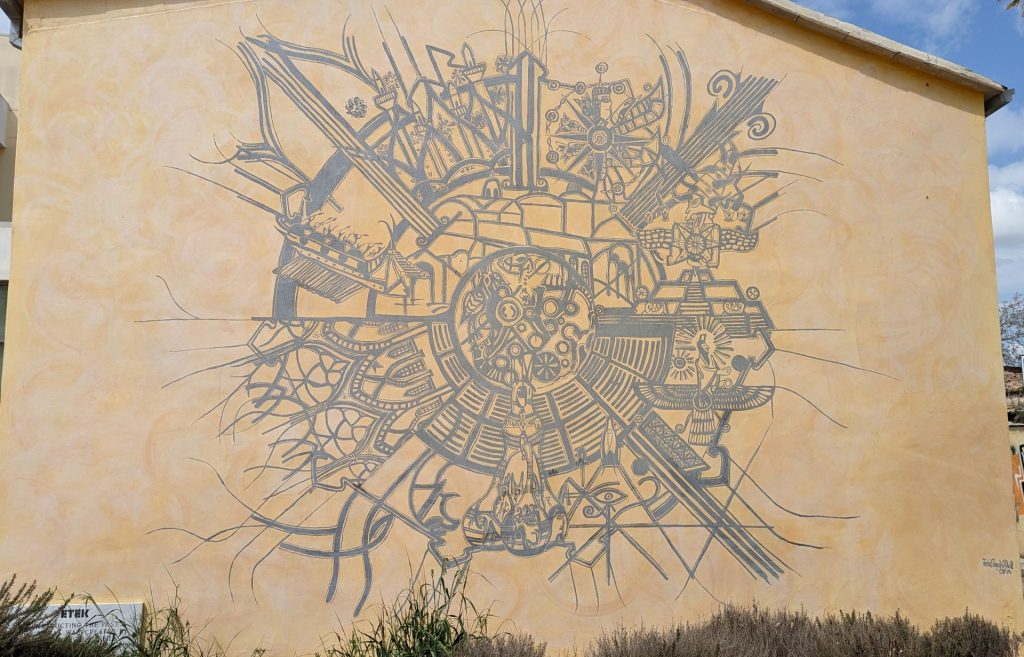
Tour time! Let’s start with the “map” of the city. This wall art on Thiseos Street depicts a “map” of old Nicosia with special embellishments.
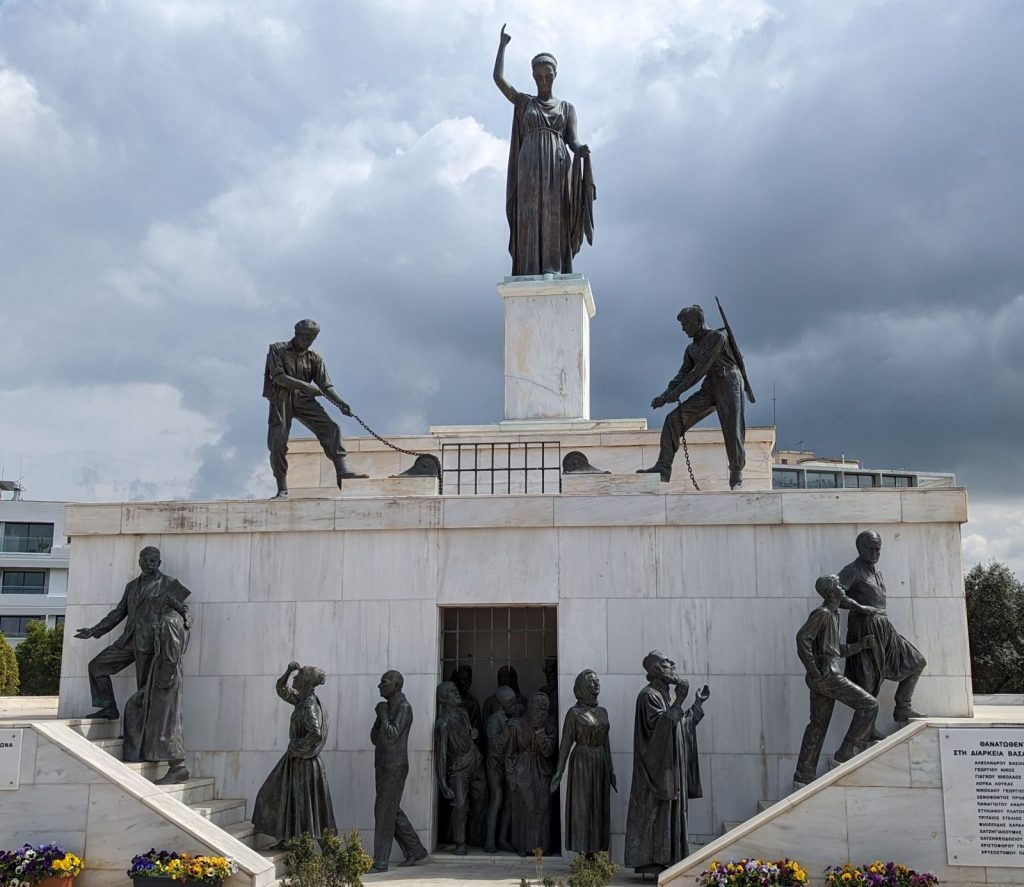
This (below) is Eleftheria (Liberty) Monument. This monument honors EOKA fighters. EOKA stands for National Organization of Cypriot Fighters. This group fought to end British rule and unite Cyprus with Greece and was active between 1955 and 1959. The monument features 17 bronze statues. The top statue, pointing to the sky with one finger, represents liberty. The statues just beneath liberty represent EOKA fighters pulling chains to open a prison gate and allow the prisoners to escape. The prisoners are Cypriot peasants, soldiers, priests, villagers, men, and women who longed for freedom. The statues are incredibly lifelike – they are life-sized.
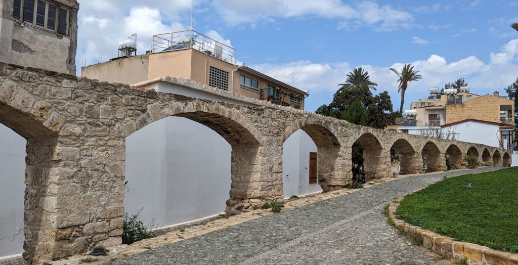
Located close to the Liberty Monument is Nicosia’s old aqueduct, the oldest aqueduct in Cyprus. It was built in the 18th century and brought water from the mountains north of the city.
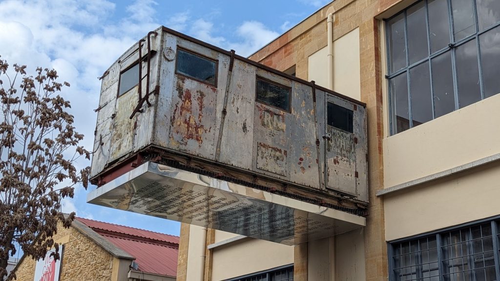
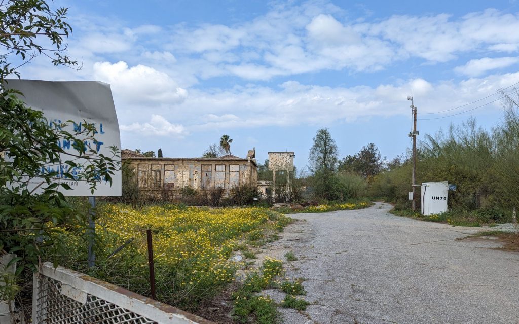
This “cabin” (as our guide called it) is attached to a building (we don’t recall which one). The numbers underneath the cabin on that silver plate are of U.N. resolutions. The numbers light up blue at night.
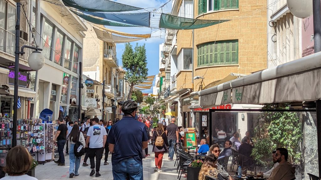
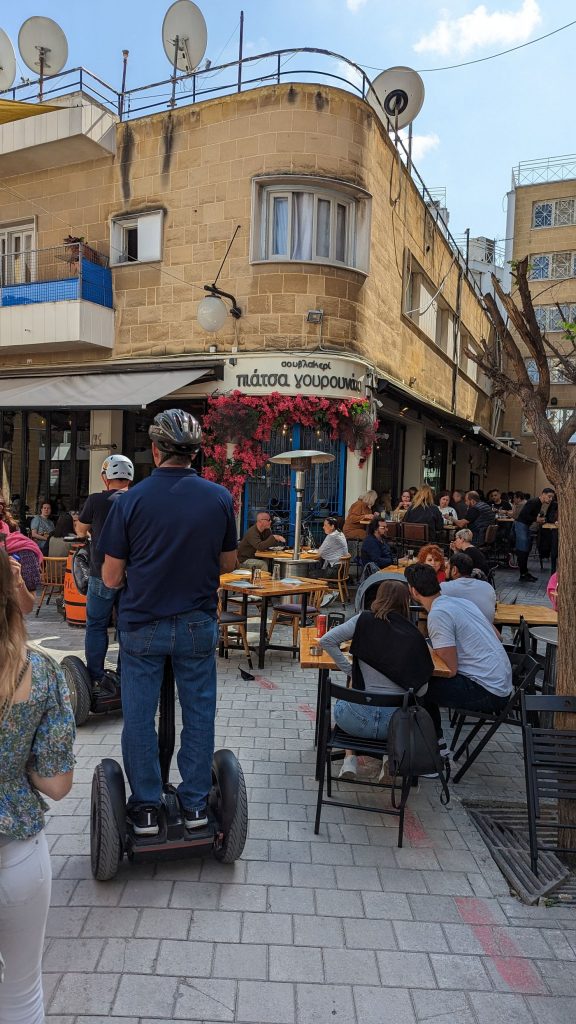
Ledra Street is in the middle of the walled city and has historically been the business shopping street of the capital. It is about 1 km long and connects the south and north parts of the old city.
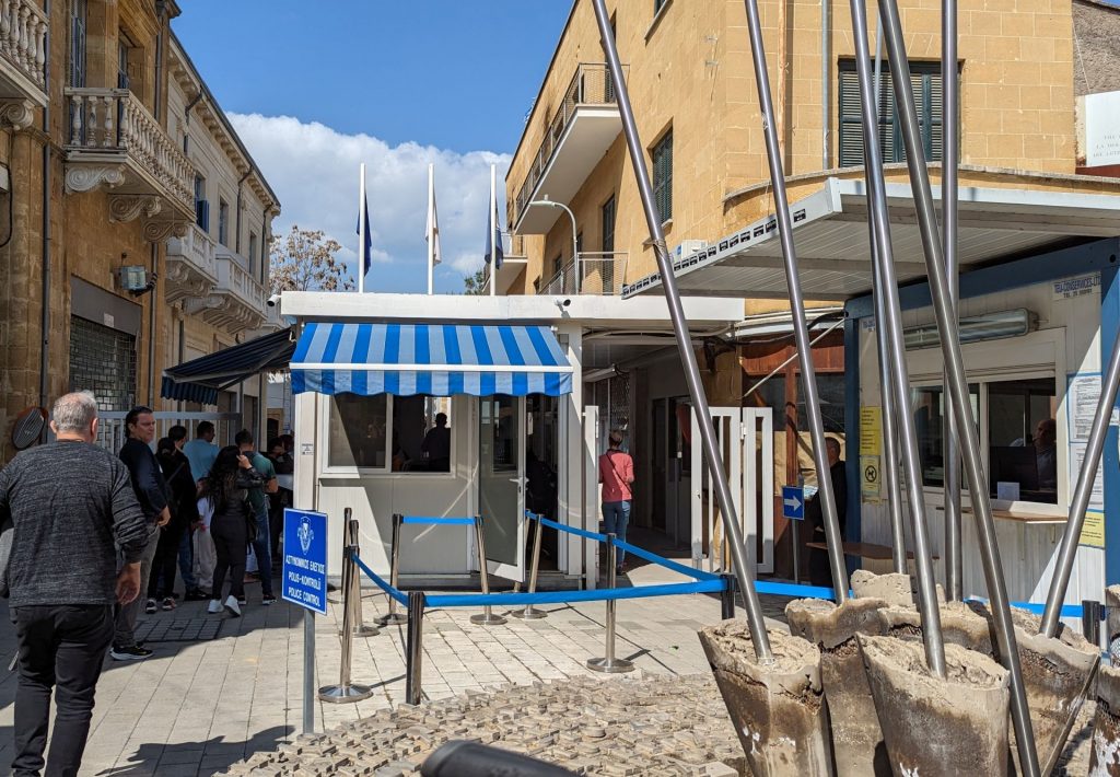
After a nearly 30-year ban on crossings, the Turkish Cypriot administration significantly eased travel restrictions across the dividing line in April 2003, allowing Greek Cypriots to cross at the Ledra Palace Crossing just outside the walls of Old Nicosia. There was a short and fast-moving line of people heading to the Turkish occupied side when we were there. The patrols checked passports and allowed the people to move along.
The statue behind us in the picture above is quite moving. The words in the circular ring at the bottom reference human rights. The spears (that’s just what I am calling them) represent the violation of human rights. This, of course, pertains to Turkey’s invasion. The placement by the Crossing is not accidental.
The next picture is of some of the fountains in Eleftheria Square. This square was awarded an international architecture prize. To be exact, it was in the “Urban Planning/Landscape Architecture” category.
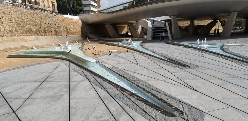
The title means Liberty Square. It is the main square in central Nicosia.
The white building – “Tower 25” – was designed by the architect Jean Nouvel. He is a big deal.
What’s not self-explanatory – and quite sad – is that this used to be a bustling shopping area in Nicosia before the Turkish invasion happened.
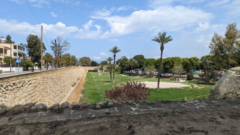
In the following picture, you see the Walls of Nicosia (a.k.a. the Venetian Walls) that surround the city. They are a series of defensive walls first built in the Middle Ages. They were completely rebuilt in the mid-16th century by the Republic of Venice. The walls are largely intact, and are among the best preserved Renaissance fortifications in the Eastern Mediterranean.
The grass in this picture would have been a moat, and the wall would have extended another four or six meters (we can’t recall which) to the water.
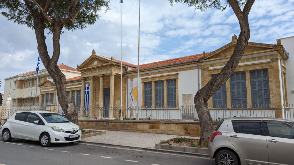
The tall structure in the next picture is the bell tower of the Cathedral of St. John the Theologian. It is the main church of the Church of Cyprus.
The next picture is of the modern Archbishop’s Palace. The palace is not open to the public but these, located on the grounds, are: The Byzantine Museum, Folk Art Museum, National Struggle Museum, and the Library of the Archbishopric.
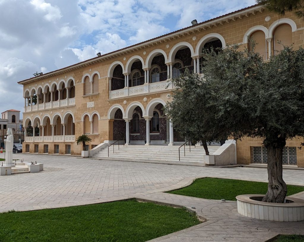
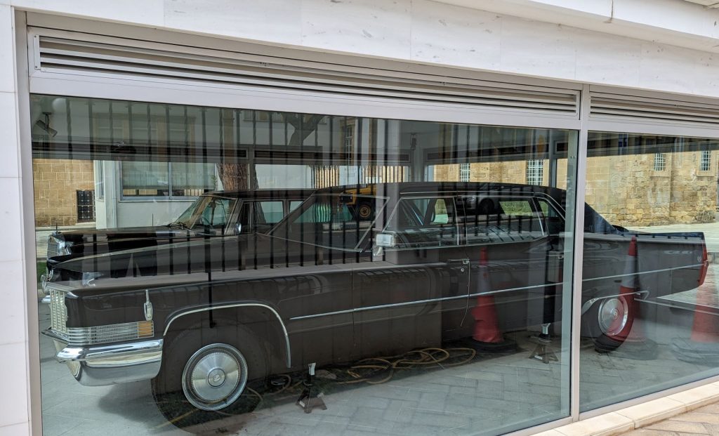
My favorite part of the palace is the story of these two cars. These two vintage state armored cars were gifts to Cyprus’ first president, Archbishop Makarios III. The US government donated the 4.2-ton Cadillac Fleetwood. Not to be outdone, the Russian government then sent a Mercedes 600. At least, that’s the story the guide shared with us.
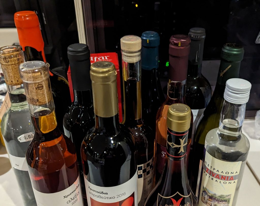
We stopped at The Oak Tree Wine Cellar and Tasting Room in Larnaca on the way home. We sat with four young people and had a wonderful time. Aaaaand, we bought more wine. This is our “take” from the trip, minus the two or three bottles we drank before taking this picture:
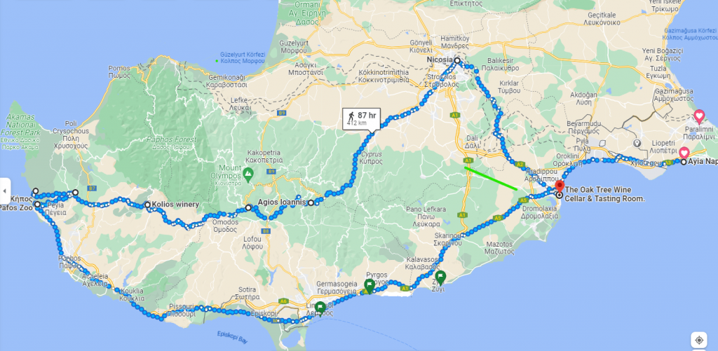
This is a rough map of our road trip. We’ve pretty much covered the island now, which is good since we will probably leave Cyprus on Sunday or Monday.